The best walks and hikes around Saint-Julien-D'Ance
4.6
(104)
570
hikers
107
hikes
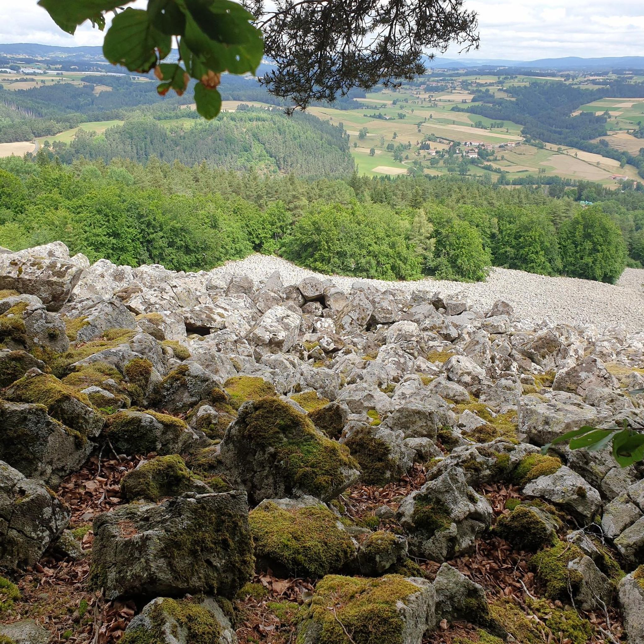
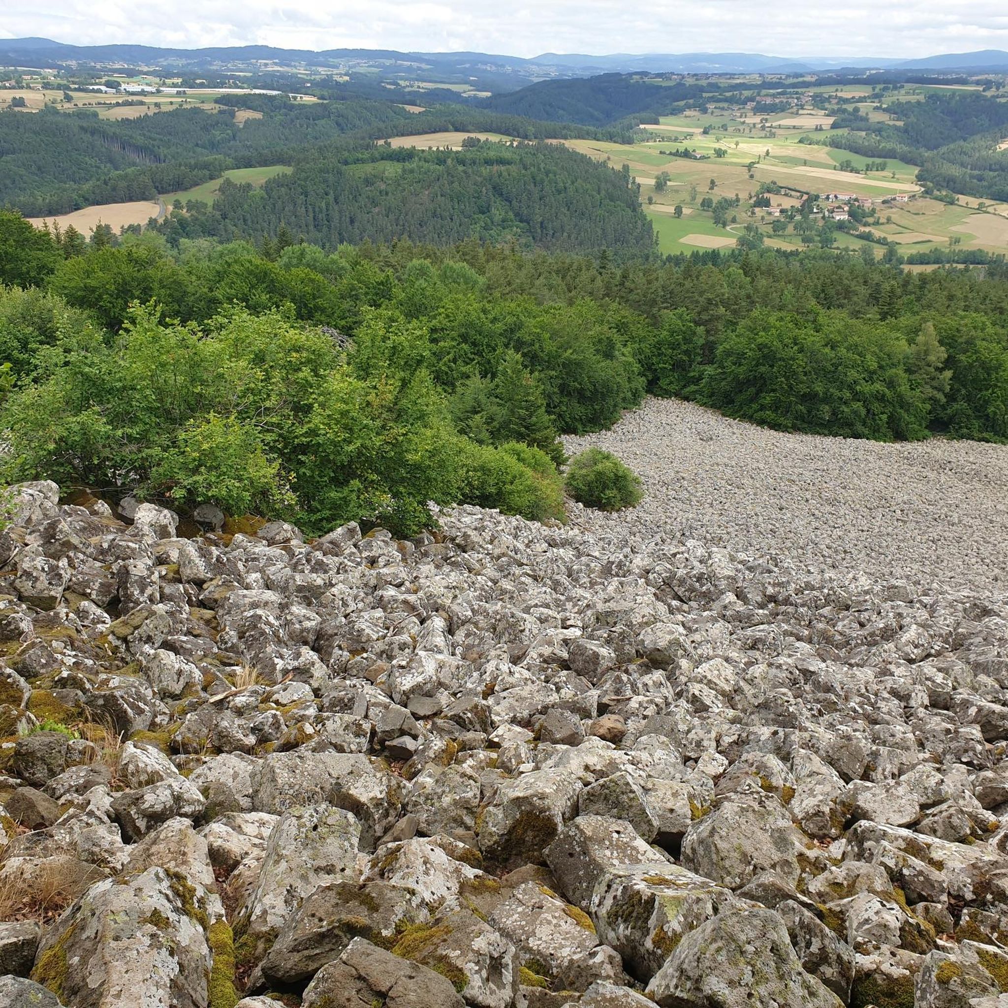
Hiking around Saint-Julien-D'Ance offers varied terrain within the Auvergne-Rhône-Alpes region of France. The area features rolling hills, lush forests, and the tranquil Ance River, which is a Natura 2000 site. Geological formations like the Bourianne Lava Flow, characterized by basaltic blocks, contribute to the diverse landscape. Mont Miaune, at 1,066 meters, provides elevated viewpoints.
Best hiking trails around Saint-Julien-D'Ance
- The most popular hiking route is Pont du Diable de Chalencon – Old village of Chalencon loop from Saint-André-de-Chalencon, a…
Last updated: June 30, 2026
4.6
(5)
32
hikers
8.64km
02:40
320m
320m
Moderate hike. Good fitness required. Easily-accessible paths. Suitable for all skill levels.
5.0
(1)
18
hikers
3.80km
01:15
170m
180m
Easy hike. Great for any fitness level. Easily-accessible paths. Suitable for all skill levels.

Sign up for free
4.3
(3)
18
hikers
Hard hike. Very good fitness required. Easily-accessible paths. Suitable for all skill levels.
4.0
(2)
9
hikers
11.3km
03:27
390m
390m
Moderate hike. Good fitness required. Easily-accessible paths. Suitable for all skill levels.
3.0
(3)
11
hikers
14.6km
04:09
320m
320m
Moderate hike. Good fitness required. Easily-accessible paths. Suitable for all skill levels.
Get access to more routes and recommendations from other explorers.
Sign up for free
Already have an account?
Our route recommendations are based on thousands of hikes, rides, and runs completed by other people on komoot.
Start today with a free account
Your next adventure awaits.
Login or Signup

Tips from the Community

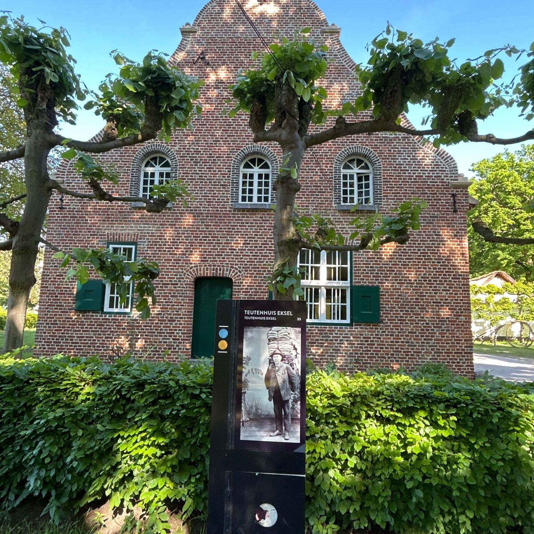
The Devil's Bridge spans the Ance. It dates from the 10th century and is classified as a historic monument. Legend has it that this bridge was often destroyed by the floods of the Ance. The lord of Chalencon made a pact with the Devil so that it remained intact.
0
0
The medieval village of Chalencon dates from the Middle Ages. It dominates the Ance river from its rocky spur and displays architecture from the medieval era which takes you back to the time of the powerful lords who administered Velay.
0
0

Very good place to stay overnight with great regional cuisine... great accommodation!!!
0
0

Viewpoint, with picnic table and games for children.
1
0
Frequently Asked Questions
How many hiking trails are available around Saint-Julien-D'Ance?
There are over 100 hiking trails around Saint-Julien-D'Ance. This includes a diverse range of options: 26 easy routes, 66 moderate routes, and 17 difficult routes, ensuring there's something for every skill level.
What do other hikers say about the trails in Saint-Julien-D'Ance?
The trails in Saint-Julien-D'Ance are highly rated by the komoot community, with an average score of 4.6 stars from over 90 reviews. Hikers often praise the varied terrain, from tranquil riverbanks to unique geological formations, and the well-maintained paths.
Are there easy hiking trails suitable for beginners or families in Saint-Julien-D'Ance?
Yes, Saint-Julien-D'Ance offers 26 easy routes perfect for beginners or families. A great option is the View of the scree loop from Saint-Julien-d'Ance, an easy 3.8 km path that provides views of the impressive scree formed by the Bourianne Lava Flow.
Are there challenging hikes for experienced trekkers in the region?
For experienced trekkers, there are 17 difficult routes available. One challenging option is the Old village of Chalencon – Pont du Diable de Chalencon loop from Saint-André-de-Chalencon, an 18.8 km trail that takes about 5 hours 47 minutes to complete, leading through historical sites and natural features.
Are there any circular hiking routes in Saint-Julien-D'Ance?
Yes, many routes in the area are circular. For example, the Pont du Diable de Chalencon – Old village of Chalencon loop from Saint-André-de-Chalencon is a moderate 8.5 km circular trail that passes by the historic 10th-century Pont du Diable.
What natural landmarks or geological features can I see while hiking?
The region is rich in natural wonders. You can explore the impressive Bourianne Lava Flow, an ancient geological formation with basaltic blocks. The Ance River, a Natura 2000 site, also offers tranquil settings. Mont Miaune, at 1,066 meters, provides rewarding viewpoints over the diverse terrain.
Are there any historical sites or attractions along the hiking trails?
Absolutely. Hikers can discover several historical sites. The 10th-century Château d'Artias ruins are spectacularly located on a pyramidal rock block. The Le Bezan Lake area features a public pitch oven, offering insight into local history. Don't miss the historic Pont du Diable, a 10th-century bridge with local legends.
Can I find hikes that include viewpoints?
Yes, many trails offer excellent viewpoints. Mont Miaune, reaching 1,066 meters, is known for its pleasant walks and rewarding panoramic views of the surrounding Auvergne-Rhône-Alpes region. Look for routes that ascend to higher elevations for the best vistas.
Are there any trails that pass by lakes or rivers?
The Ance River flows through the region, offering tranquil settings for walks along its banks. Additionally, Le Bezan Lake is a pleasant small lake surrounded by walking paths, providing a serene environment for hikers.
What is the best season for hiking in Saint-Julien-D'Ance?
The Auvergne-Rhône-Alpes region generally offers pleasant hiking conditions from spring through autumn. Spring brings lush greenery and wildflowers, while autumn showcases vibrant foliage. Summer is also popular, but it's always wise to check local weather forecasts, especially for higher elevations.
Are there any long-distance hiking options around Saint-Julien-D'Ance?
Yes, for those seeking longer excursions, there are several options. The Hiking loop from Saint-Pal-de-Chalencon is a challenging 19.6 km route, offering a substantial day out in the varied landscape of the region.
Are there any trails that are less crowded?
Saint-Julien-D'Ance is known for its 'hidden trails,' offering lesser-known routes for rejuvenation and inspiration. While specific less crowded trails aren't highlighted, exploring the numerous moderate and difficult routes, particularly outside peak tourist times, can lead to a more solitary experience.
Most popular routes around Saint-Julien-D'Ance
Most popular attractions around Saint-Julien-D'Ance

Get inspired with the komoot mobile app


Explore more
Browse the best Hikes in other regions.
