The best running trails around Meilhaud
4.3
(56)
3,014
runners
246
runs
Jogging around Meilhaud offers access to diverse landscapes within the Puy-de-Dôme department. The region is characterized by its volcanic terrain, providing undulating paths and varied elevation changes. Runners can explore routes that feature natural, unpaved surfaces, with some sections on accessible paved paths. The area's altitude, ranging from 429m to 581m, contributes to a dynamic jogging experience.
Best jogging routes around Meilhaud
- The most popular jogging route is Pardines loop from Les Deux-Rives, a 11.5 miles (18.5 km) trail…
Last updated: May 18, 2026
11
runners
18.5km
02:02
240m
240m
Hard run. Very good fitness required. Mostly paved surfaces. Suitable for all skill levels.
7
runners
13.0km
01:38
340m
340m
Hard run. Very good fitness required. Mostly accessible paths. Some sure footedness required.

Sign up for free
3.0
(1)
6
runners
5.02km
00:36
50m
50m
Moderate run. Good fitness required. Mostly paved surfaces. Suitable for all skill levels.
5.0
(1)
11
runners
20.0km
02:10
110m
110m
Hard run. Very good fitness required. Mostly paved surfaces. Suitable for all skill levels.
3
runners
11.2km
01:20
200m
200m
Moderate run. Good fitness required. Mostly paved surfaces. Suitable for all skill levels.
Get access to more routes and recommendations from other explorers.
Sign up for free
Already have an account?
Our route recommendations are based on thousands of hikes, rides, and runs completed by other people on komoot.
Start today with a free account
Your next adventure awaits.
Login or Signup

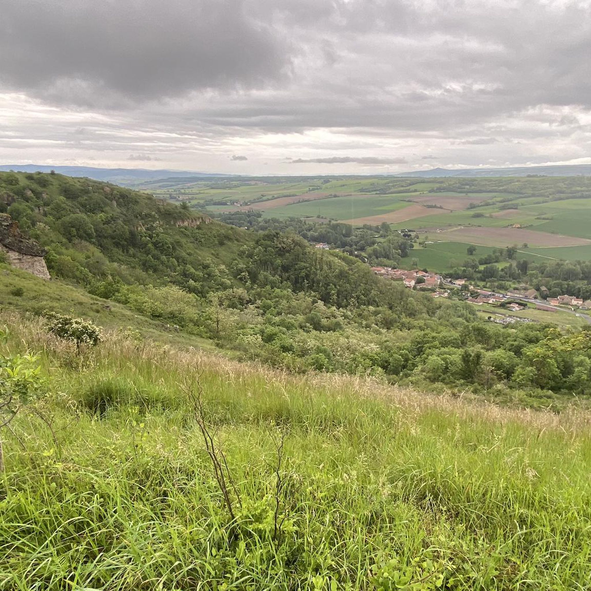
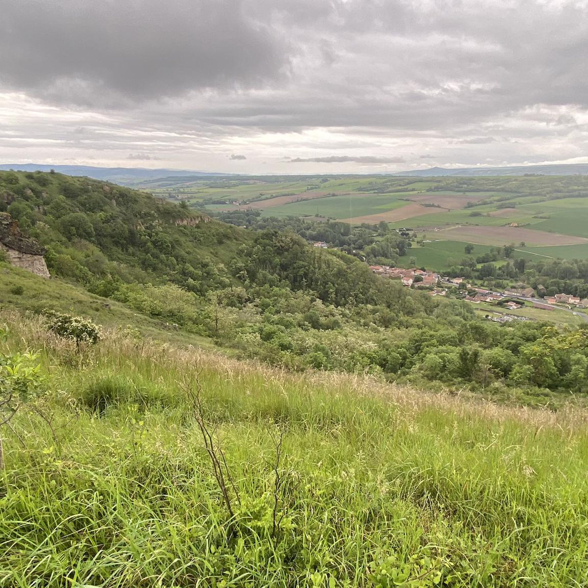
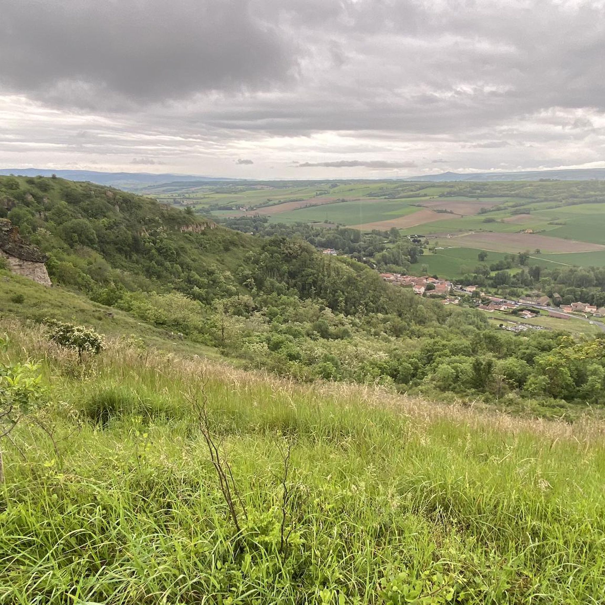

Tips from the Community

Remains of the old troglodyte village of Les Roches dug out of a mudslide of volcanic origin.
1
0
Frequently Asked Questions
How many running routes are available in Meilhaud?
Meilhaud offers a wide selection of running routes, with over 240 trails available on komoot. These routes cater to various fitness levels, ranging from easy strolls to challenging runs.
What kind of terrain can I expect on the running trails around Meilhaud?
The region around Meilhaud is characterized by its unique volcanic landscapes and undulating terrain. You'll find a mix of natural, unpaved surfaces and some accessible paved paths. The altitude, ranging from 429m to 581m, ensures a dynamic running experience with varied elevation changes.
Are there any easy running routes suitable for beginners in Meilhaud?
Yes, Meilhaud has options for beginners. There are approximately 20 easy running routes available. While specific easy routes aren't highlighted in the intro, komoot offers filters to find trails that match your desired difficulty level.
Can I find challenging running routes with significant elevation gain?
Absolutely. Meilhaud is ideal for runners seeking a challenge, with 54 difficult routes available. For instance, the Château Langlade loop from Les Deux-Rives is an 8.1-mile (13.0 km) path with a substantial climb of 344 meters, offering a demanding workout.
Are there any circular running routes in the Meilhaud area?
Many of the running routes around Meilhaud are designed as loops, allowing you to start and finish in the same location. For example, the Running loop from Pardines is a 3.1-mile (5.0 km) trail that takes you through varied terrain in a circular fashion.
What natural landmarks or viewpoints can I see while jogging in Meilhaud?
The region boasts stunning natural beauty. While running, you might encounter unique geological formations like the Mottes Cliffs or the Fairy Chimneys of the Vallon des Fosses. The wider area also offers access to breathtaking volcanic lakes such as Lac Pavin and Lac du Guery, and peaks like Puy de Sancy, providing incredible views.
Are there any historical sites or charming villages accessible on a run?
Yes, Meilhaud's proximity to charming villages and historical sites enhances the running experience. You can incorporate visits to places like Montpeyroux: Medieval Village and Tower, or explore nearby popular villages such as Saint-Floret and Issoire. Other cultural points of interest like the Petrifying Fountains of Saint-Nectaire or Murol Castle can serve as compelling destinations for longer runs.
Is Meilhaud a good destination for family-friendly running?
With 20 easy routes and a variety of moderate options, Meilhaud can be suitable for families. Many trails offer natural, unpaved surfaces away from traffic, providing a pleasant environment for a family run or walk. Look for shorter, less elevated routes on komoot to find the best fit for your family.
Are the running trails around Meilhaud suitable for jogging with a dog?
Many natural trails in the Auvergne-Rhône-Alpes region are dog-friendly, especially those away from protected wildlife areas or private land. It's always advisable to keep your dog on a leash and check local signage for any specific restrictions, but generally, the diverse terrain offers good opportunities for running with your canine companion.
What do other runners say about the trails in Meilhaud?
The running routes in Meilhaud are highly regarded by the komoot community, holding an average score of 4.3 stars from over 50 reviews. More than 3000 runners have used komoot to explore the varied terrain, often praising the scenic beauty and diverse challenges offered by the volcanic landscapes.
When is the best time of year to go running in Meilhaud?
The Auvergne-Rhône-Alpes region offers beautiful running conditions across multiple seasons. Spring and autumn provide pleasant temperatures and vibrant scenery. Summer is also popular, though it's best to run in the mornings or evenings to avoid the midday heat. Winter running is possible, but be prepared for colder temperatures and potentially snowy or icy conditions at higher altitudes.
Are there options for parking near the running routes?
Yes, many running routes in the Meilhaud area, especially those starting from villages or popular trailheads, offer designated parking facilities. For example, routes like the Pardines loop from Les Deux-Rives often have accessible starting points with parking nearby. Always check the route details on komoot for specific parking information.
What are some moderate running options in the area?
Meilhaud features a significant number of moderate running routes, with approximately 170 available. A popular choice is the Running loop from Chidrac, an 11.2 km (7.0 miles) trail with around 200 meters of elevation gain, offering a good balance of challenge and accessibility.
Most popular attractions around Meilhaud

Get inspired with the komoot mobile app


Explore more
Browse the best Running Trails & Routes in other regions.
