The best walks and hikes around Laroin
4.5
(391)
3,328
hikers
291
hikes
Hiking around Laroin offers access to varied terrain, characterized by rolling hills, open countryside, and distant views of the Pyrenees mountains. The region features a network of trails that traverse agricultural lands and wooded areas. Elevations are generally moderate, providing accessible hiking experiences.
Best hiking trails around Laroin
- The most popular hiking route is Beautiful view of the Pyrenees – Crête Mathieu Lalanne loop from Jurançon, a 4.0 miles (6.4 km) trail that takes 2 hours 2 minutes to…
Last updated: August 27, 2026
4.6
(17)
192
hikers
7.01km
01:48
30m
30m
Easy hike. Great for any fitness level. Easily-accessible paths. Suitable for all skill levels.
35
hikers
5.70km
01:28
30m
30m
Easy hike. Great for any fitness level. Easily-accessible paths. Suitable for all skill levels.

Sign up for free
4.7
(6)
12
hikers
6.33km
01:57
230m
230m
Easy hike. Great for any fitness level. Easily-accessible paths. Suitable for all skill levels.
4.7
(3)
26
hikers
11.4km
02:55
40m
40m
Moderate hike. Good fitness required. Easily-accessible paths. Suitable for all skill levels.
5.0
(3)
36
hikers
10.9km
02:47
40m
40m
Moderate hike. Good fitness required. Easily-accessible paths. Suitable for all skill levels.
Get access to more routes and recommendations from other explorers.
Sign up for free
Already have an account?
Our route recommendations are based on thousands of hikes, rides, and runs completed by other people on komoot.
Start today with a free account
Your next adventure awaits.
Login or Signup

Tips from the Community


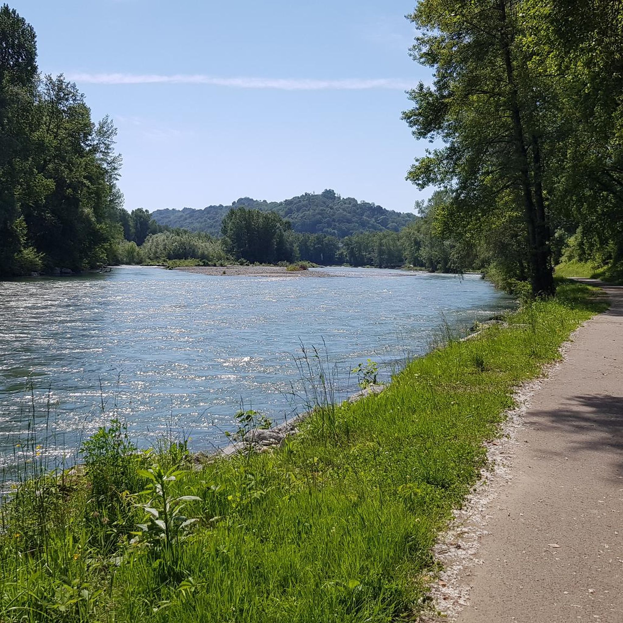
Great view of the Pyrenees peaks
1
0

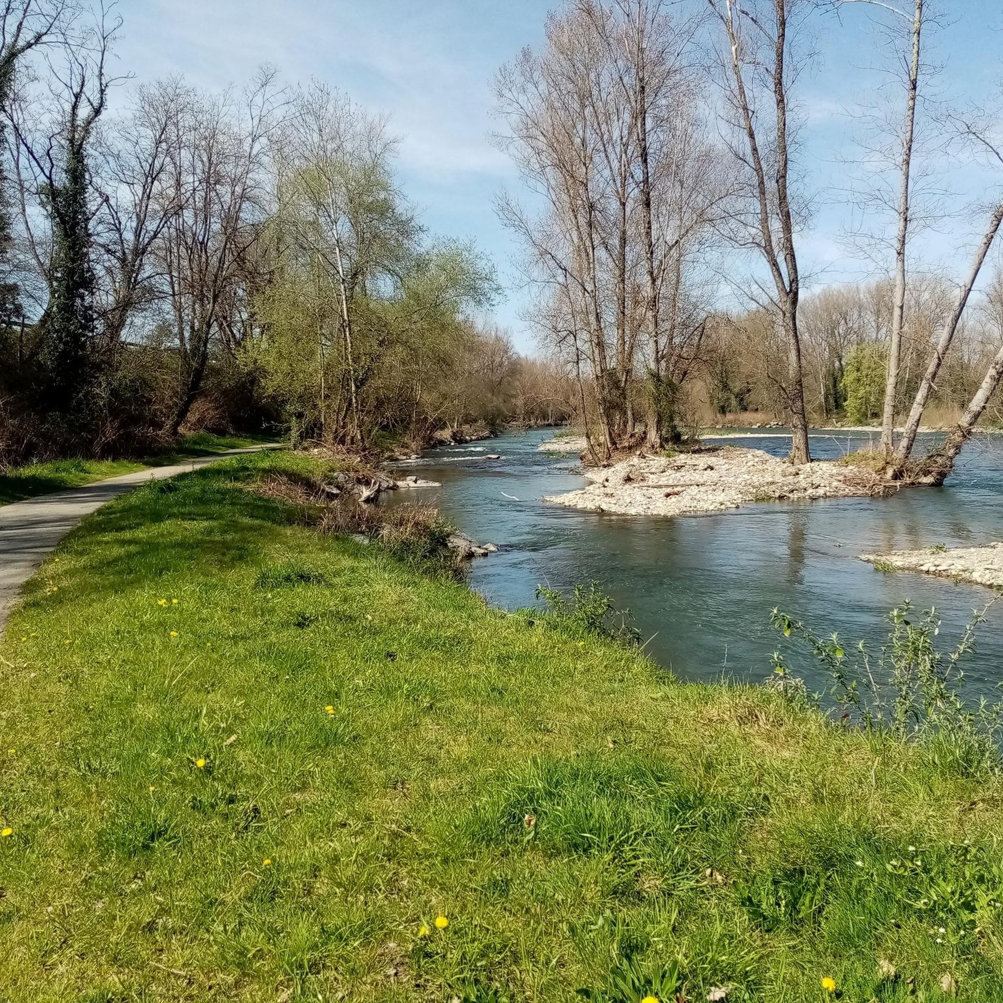
Beautiful and wide view of the gave, junction with Laroin by passage under the road
1
0

Picnic tables are present in the immediate vicinity of the Véloroute V81 and the Gave.
1
0
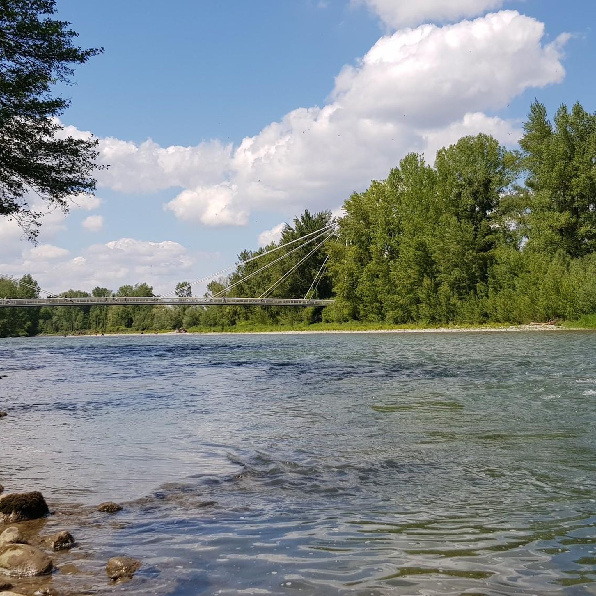
The bridge is accessible from the V81 and allows you to cross over the Gave de Pau. Gave means "stream". It is 190.7 km long. Its most upstream source is located in the Cirque de Gavarnie. The large number of plastic waste present on the banks of the Gave represents one of the negative sides of the latter as well as of many rivers. Pay attention to your trash ;)
2
0

Nice bike path along the river to Pau. The town itself has a lot to offer, the castle, a funicular, botanical gardens, beautiful architecture and of course lots of bars, restaurants and shops.
3
0
Frequently Asked Questions
How many hiking trails are available around Laroin?
There are nearly 270 hiking routes around Laroin, offering a wide variety of options for different skill levels and preferences. You'll find everything from easy strolls to more challenging moderate hikes.
Are there easy hiking trails suitable for beginners or families in Laroin?
Yes, Laroin offers over 130 easy hiking trails perfect for beginners or families. These routes typically feature gentle terrain through the local countryside. An example is the Hiking loop from Saint-Faust, which is an easy 3.3-mile (5.3 km) path.
What kind of views can I expect on hikes around Laroin?
Hiking around Laroin is characterized by rolling hills, open countryside, and consistent, often panoramic, views of the majestic Pyrenees mountains. Many trails are specifically known for these scenic vistas.
Are there any circular hiking routes in the Laroin area?
Yes, many of the trails around Laroin are designed as circular routes, allowing you to start and end at the same point. For example, the View of the Pyrenees Frame loop from Lotissement Les Mimosas is a moderate 9.1 km loop offering great views.
What do other hikers enjoy most about the trails in Laroin?
The hiking trails in Laroin are highly rated by the komoot community, with an average score of 4.5 stars from over 300 reviews. Hikers often praise the beautiful views of the Pyrenees, the varied landscapes, and the well-maintained paths that cater to different abilities.
What are some interesting landmarks or attractions to see near the hiking trails?
While hiking around Laroin, you can explore several interesting points. Consider visiting the National Museum and Estate of the Château de Pau, the historic Palais Beaumont, or enjoying the views from the Boulevard of the Pyrenees. The Pau whitewater stadium is also a notable highlight.
Are there any longer, moderate hikes for more experienced hikers?
For those looking for a longer, moderate challenge, Laroin offers several options. The Pau whitewater stadium – Pau Funicular loop from Pau is a moderate 10.3 km route that takes around 2 hours 40 minutes to complete, offering diverse scenery.
What is the best time of year to go hiking in Laroin?
The region around Laroin is generally pleasant for hiking from spring through autumn. Spring brings blooming wildflowers, while autumn offers vibrant foliage. Summer is also popular, but it's advisable to start early to avoid the midday heat. Winter hikes are possible, but some trails might be muddy or require appropriate gear.
Is public transport available to reach hiking trailheads in Laroin?
Laroin and its surrounding areas are served by local bus networks, which can provide access to various trailheads. It's recommended to check local bus schedules and routes in advance to plan your journey to specific starting points.
Are there any specific trails that offer particularly good views of the Pyrenees?
Many trails in the area boast excellent Pyrenean views. The Beautiful view of the Pyrenees – Crête Mathieu Lalanne loop from Billère is a 9.7 km moderate trail specifically known for its consistent mountain vistas across varied landscapes.
What should I wear for hiking in Laroin during the summer?
During summer, lightweight, breathable clothing is recommended. Layers are always a good idea, as temperatures can vary. Don't forget sun protection like a hat, sunglasses, and sunscreen, and always carry enough water, especially on longer routes.
Most popular attractions around Laroin

Get inspired with the komoot mobile app


Explore more
Browse the best Hikes in other regions.
