The best walks and hikes around Saint-Bonnet-De-Rochefort
4.5
(245)
964
hikers
13
hikes
Hiking around Saint-Bonnet-De-Rochefort offers diverse landscapes in the Allier department of the Auvergne-Rhône-Alpes region. The area features gentle hills and valleys, with elevations ranging from 290 to 412 meters above sea level. Trails often follow the winding gorges of the Sioule River, providing scenic views, and pass through forests and countryside.
Best hiking trails around Saint-Bonnet-De-Rochefort
- The most popular hiking route is Château les Ruillers — loop from Charroux, a 7.9 miles (12.7 km) moderate trail that takes 3…
Last updated: October 25, 2026
4.7
(18)
53
hikers
Moderate hike. Good fitness required. Easily walkable paths.
5.0
(7)
24
hikers
Moderate hike. Good fitness required. Easily walkable paths.

5.0
(2)
9
hikers
8.14km
02:13
120m
120m
Moderate hike. Good fitness required. Easily walkable paths.
3.0
(2)
8
hikers
4.82km
01:17
50m
50m
Easy hike. Easily walkable paths.
3.5
(2)
9
hikers
Moderate hike. Good fitness required. Easily walkable paths.
Get access to more routes and recommendations from other explorers.
Already have an account?
Our route recommendations are based on thousands of hikes, rides, and runs completed by other people on komoot.
Start today with a free account
Your next adventure awaits.


Tips from the Community

Château les Ruillers is a 15th century castle located on a hill overlooking the Sioule valley, rectangular in plan with four round towers at the corners. The castle is private property and not open to the public, but you can admire it from the outside. The Château les Ruillers is a fine example of medieval architecture in Auvergne.
2
0


This beautiful castle is privately owned and cannot be visited. Its defensive aspect is explained by its geographical location. It is situated on a terrace overlooking the left bank of the Sioule River. It was therefore highly strategic. The castle's origins date back to the 11th century. It was only around the 13th century that the lords of the time understood the importance of the site for defending the southern border of their domain towards Auvergne.
2
0

Frequently Asked Questions
How many hiking trails are available in Saint-Bonnet-De-Rochefort?
Saint-Bonnet-De-Rochefort offers a wide network of over 80 hiking trails, catering to various preferences and fitness levels. You'll find everything from easy strolls to more challenging treks through diverse landscapes.
What kind of terrain can I expect on hikes around Saint-Bonnet-De-Rochefort?
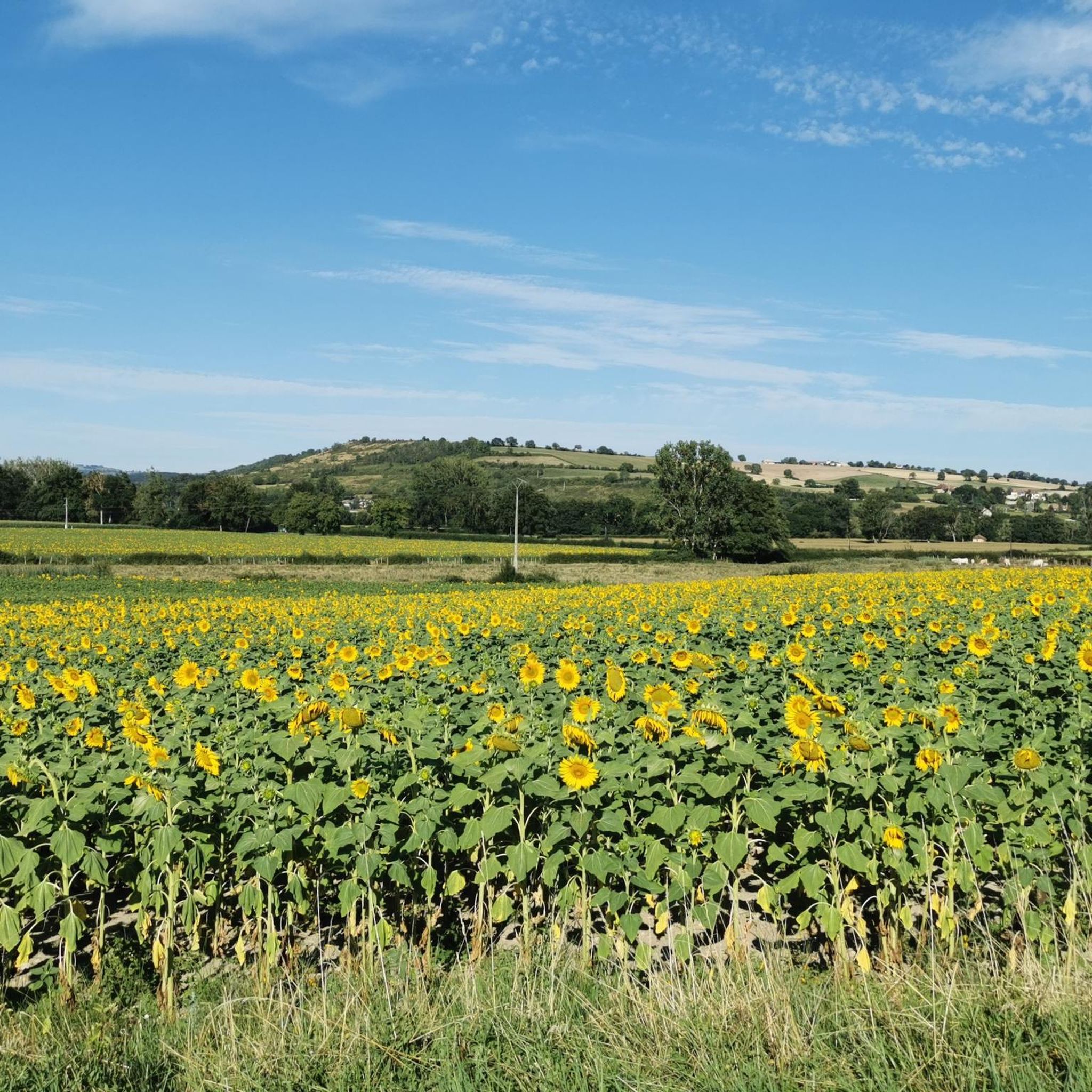
The terrain around Saint-Bonnet-De-Rochefort is characterized by beautiful countryside, gentle hills, and valleys. Many trails follow the winding gorges of the Sioule River, offering scenic views, and pass through forests and vineyards. Elevations typically range from 290 to 412 meters above sea level.
Are there hiking trails suitable for beginners or families in Saint-Bonnet-De-Rochefort?
Yes, Saint-Bonnet-De-Rochefort has plenty of options for beginners and families. There are over 30 easy trails, perfect for a leisurely walk. For example, the Charroux – Medieval Village – Charroux loop from Charroux is an easy 6.9 km trail that takes about 2 hours, ideal for a family outing.
Are there challenging hikes for experienced hikers in the area?
Absolutely. For those seeking a more demanding experience, there are 7 difficult trails available. One notable option is the Charroux – Medieval Village – Banks of the Sioule River loop from Charroux, a challenging 19.8 km route that explores the riverbanks and the medieval village.
What natural landmarks or historical sites can I see while hiking in Saint-Bonnet-De-Rochefort?
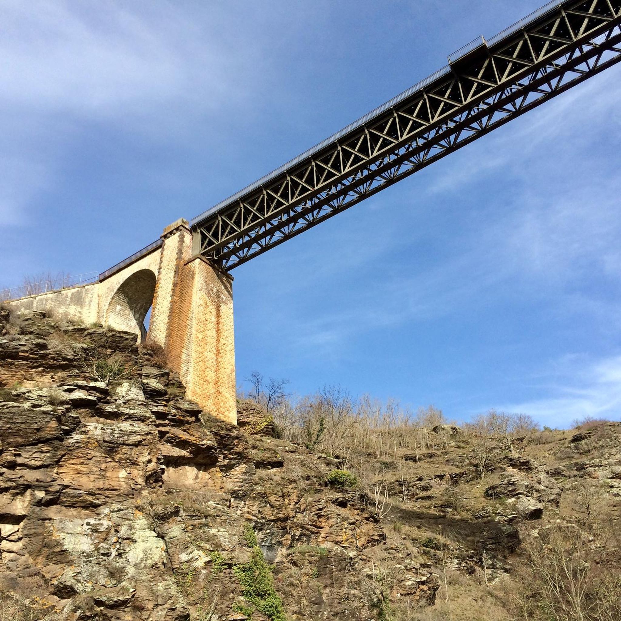
Hikers can discover several notable landmarks. The iconic Viaduc de Neuvial, an impressive railway viaduct, is a prominent feature. You can also explore the charming Charroux – Medieval Village, which serves as a starting point for many routes. The Sioule River and its gorges are a constant natural highlight, with trails often providing stunning views of the river.
Are there circular hiking routes available in Saint-Bonnet-De-Rochefort?
Yes, many of the trails in Saint-Bonnet-De-Rochefort are circular loops, allowing you to start and end at the same point. A popular moderate circular route is the View of the Viaduc de Rouzat – Banks of the Sioule River loop from Saint-Bonnet-de-Rochefort, which offers views of the historic Viaduc de Rouzat and follows the scenic Sioule River.
What do other hikers enjoy most about hiking in Saint-Bonnet-De-Rochefort?
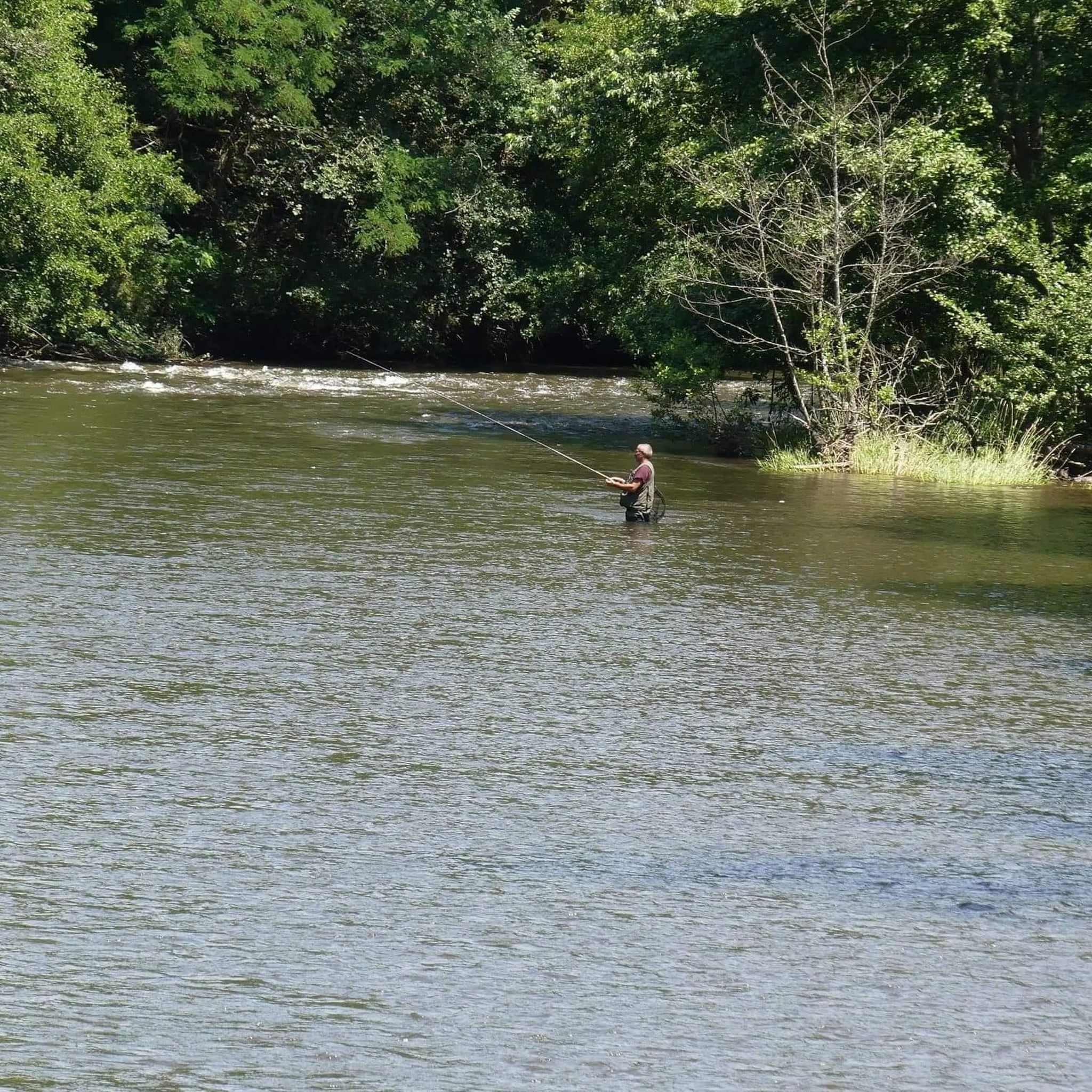
The area is highly rated by the komoot community, with an average score of 4.5 stars from over 160 reviews. Hikers often praise the diverse landscapes, the scenic views along the Sioule River, and the well-maintained paths that lead through both natural beauty and historical sites like the medieval village of Charroux.
Can I bring my dog on the hiking trails in Saint-Bonnet-De-Rochefort?
While specific regulations for each trail may vary, generally, dogs are welcome on many hiking trails in the French countryside, especially if kept on a leash. It's always advisable to check local signage at trailheads for any specific restrictions or protected areas.
What is the best time of year to go hiking in Saint-Bonnet-De-Rochefort?
Hiking in Saint-Bonnet-De-Rochefort is enjoyable throughout much of the year. Spring and autumn offer pleasant temperatures and beautiful scenery with blooming flowers or vibrant fall foliage. Summer is also popular, though it can be warmer, while winter can provide a different, quieter experience, especially along the Sioule River.
Are there any hikes that offer views of the Château de Rochefort?
Yes, some trails in the region offer magnificent views of the Château de Rochefort, a private residence perched on a rocky spur overlooking the Sioule. While the interior is not publicly accessible, its exterior is a scenic landmark for hikers, and it's also located near the long-distance hiking trail GR300.
Is there parking available at the trailheads?
Parking is generally available in or near the villages and starting points of popular trails, such as Charroux and Saint-Bonnet-de-Rochefort. It's recommended to check specific route details on komoot for information on parking facilities at individual trailheads.
Are there any routes that follow the Sioule River?
Many paths are specifically designed to follow the Sioule River, allowing hikers to explore its picturesque gorges and witness remarkable viaducts. The View of the Viaduc de Rouzat – Banks of the Sioule River loop from Saint-Bonnet-de-Rochefort is a great example, offering stunning riverside views.
Most popular routes around Saint-Bonnet-De-Rochefort
Most popular attractions around Saint-Bonnet-De-Rochefort

Get inspired with the komoot mobile app


Explore more
Browse the best Hikes in other regions.
