The best running trails around Unterentfelden
4.5
(260)
7,206
runners
26
runs
Jogging routes around Unterentfelden benefit from the region's diverse natural landscapes, characterized by significant forested areas and agricultural land. The terrain offers a mix of flatter paths and trails with moderate elevation changes, suitable for various running preferences. The area is influenced by the Suhre River valley and proximity to the Aargau Forest, providing varied natural environments for running. These features contribute to a range of running experiences, from riverside paths to shaded forest trails.
Best jogging routes around Unterentfelden
…Last updated: July 11, 2026
5.0
(4)
41
runners
Moderate run. Good fitness required. Mostly paved surfaces. Suitable for all skill levels.
5.0
(1)
34
runners
10.1km
01:03
50m
50m
Moderate run. Good fitness required. Mostly paved surfaces. Suitable for all skill levels.

Sign up for free
4.0
(3)
25
runners
7.12km
00:45
90m
90m
Moderate run. Good fitness required. Mostly paved surfaces. Suitable for all skill levels.
18
runners
10.4km
01:05
30m
30m
Moderate run. Good fitness required. Mostly paved surfaces. Suitable for all skill levels.
10
runners
6.39km
00:40
40m
40m
Moderate run. Good fitness required. Mostly paved surfaces. Suitable for all skill levels.
Get access to more routes and recommendations from other explorers.
Sign up for free
Already have an account?
Our route recommendations are based on thousands of hikes, rides, and runs completed by other people on komoot.
Start today with a free account
Your next adventure awaits.
Login or Signup

Tips from the Community

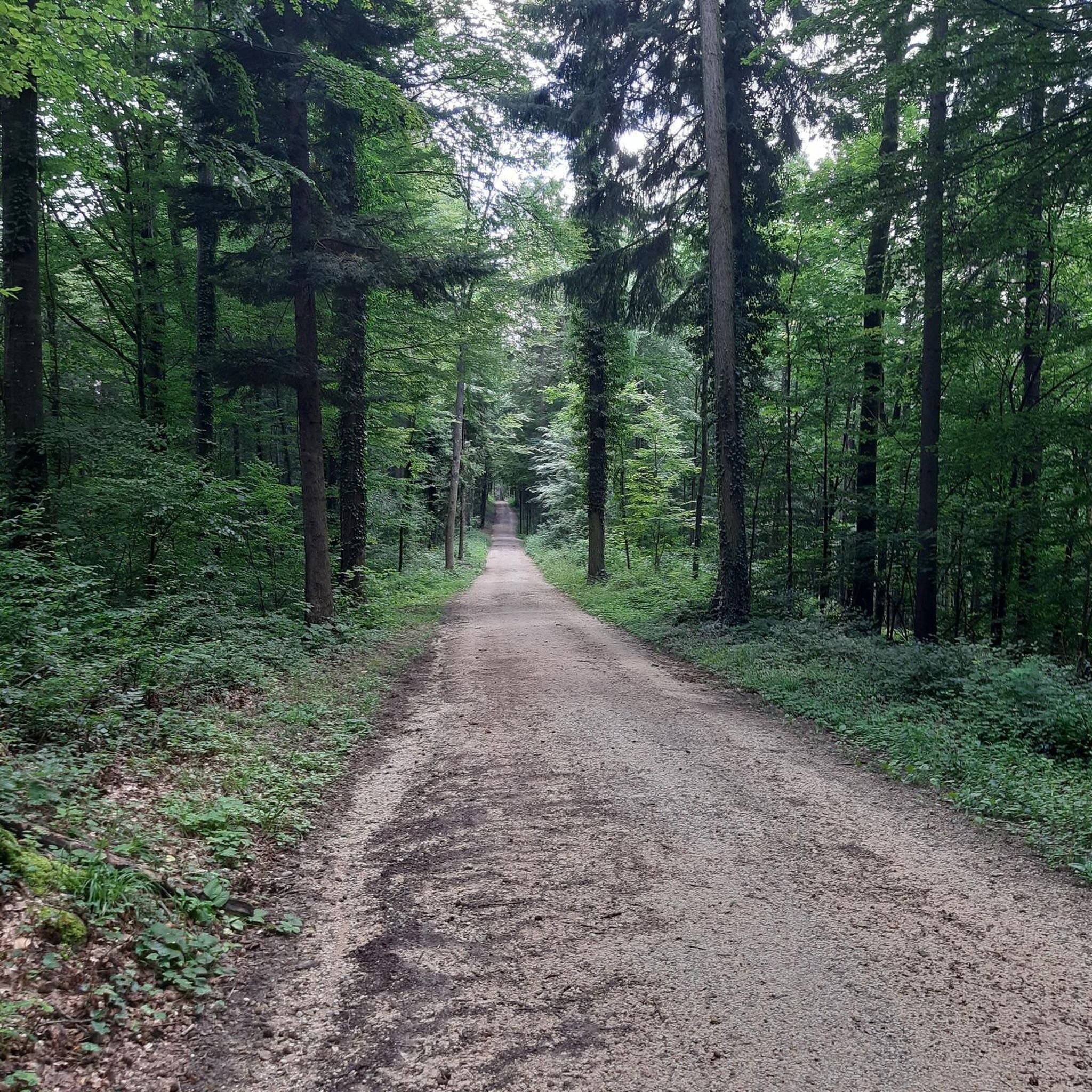
One of the highlights of the Aargau Half Marathon, these steep steps lead to a beautiful forest path. Unfortunately, there is little room to overtake.
0
0

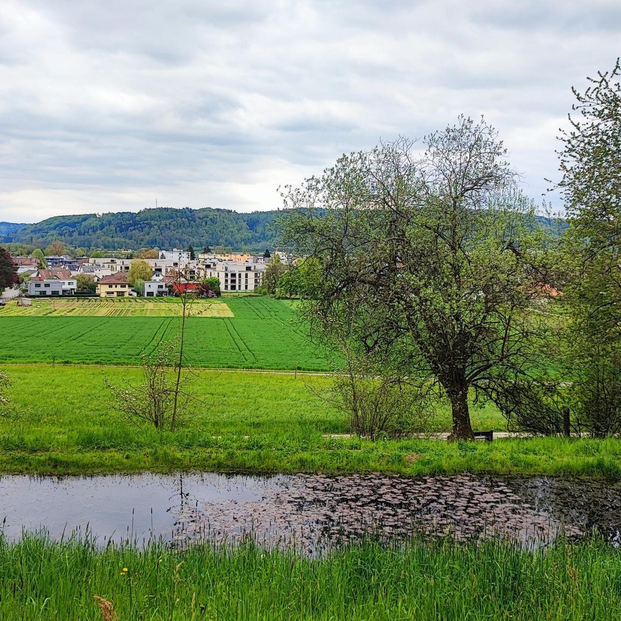
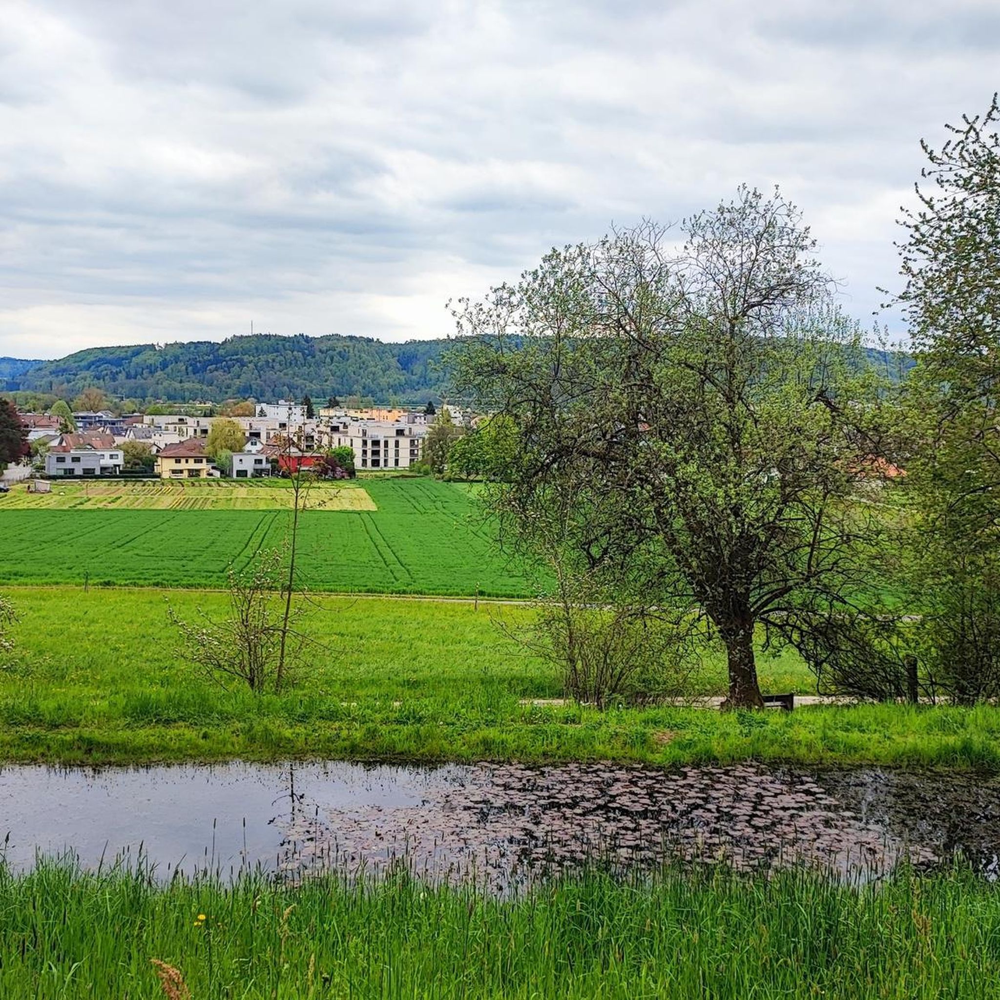
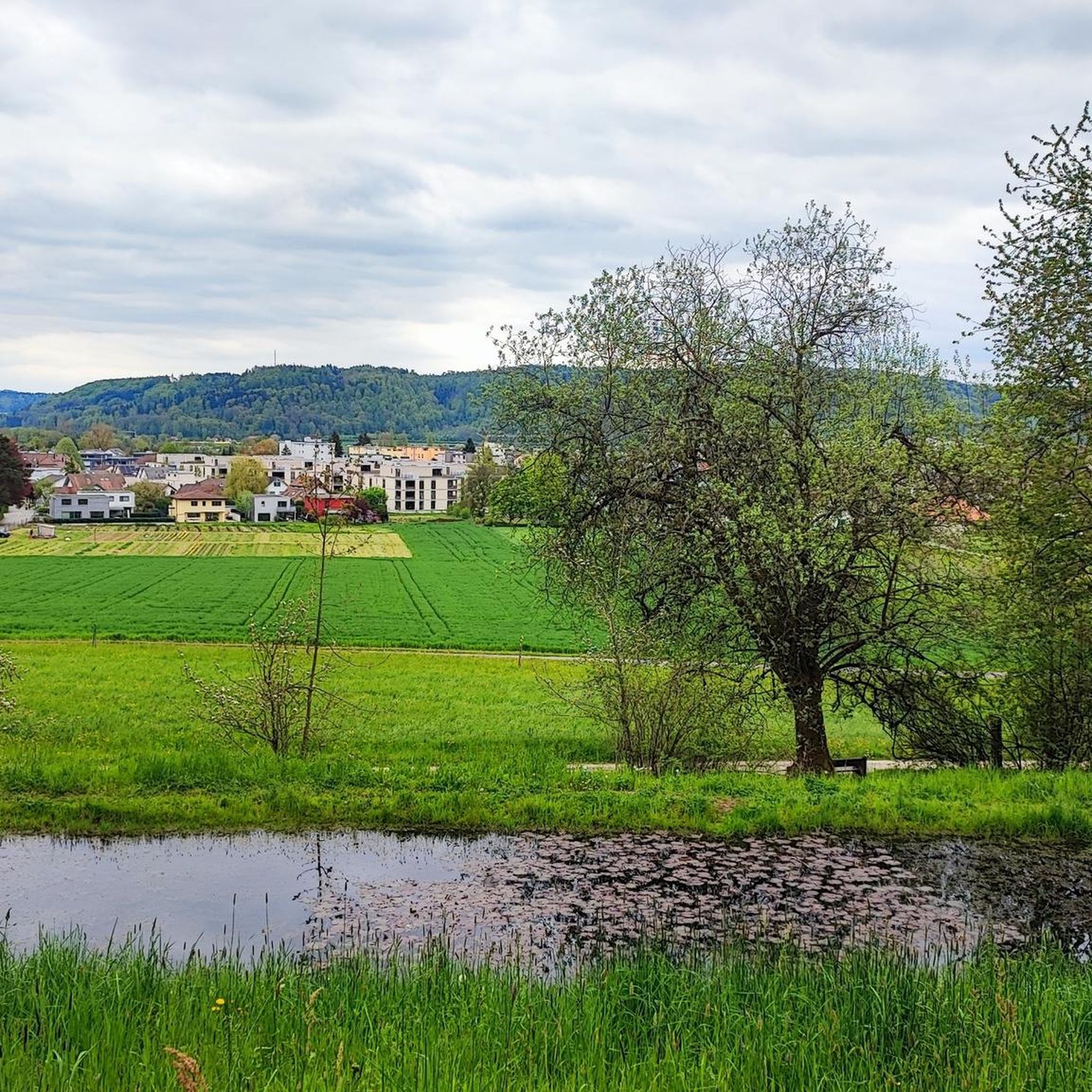
Part of the very easy cycle path along the Suhre!
0
0

Park the car in Oberentfelden, then along the Suhre valley to Suhr, take a leisurely stop here with coffee and cake, then walk up to the church and then continue on the path and up the steps to the Suhrenkopf. Enjoy the view at the top and continue hiking along the ridge back to Oberentfelden. The majority of the hike runs along field paths along the Suhre, only the last stretch to Suhr is unfortunately on asphalt. On the way back, after a short asphalt stretch to the church, we go up the mountain and through the forest back to the starting point. A wonderful half-day hike, comfortable and not rushed!
1
1

Haven't visited since my "teenage days"!
0
0

Has a small playground as well as a bench under a great tree which provides enough shade just in summer.
0
0

Long bike path along the Suhre. Particularly cared for via unmade road
1
0

Old wooden bridge leads over the Suhre
1
0
Frequently Asked Questions
How many running routes are available around Unterentfelden?
There are over 25 dedicated running routes around Unterentfelden, offering a variety of experiences for joggers. Most of these routes are classified as moderate, with one challenging option for more experienced runners.
What kind of terrain can I expect on the jogging trails in Unterentfelden?
The running trails in Unterentfelden feature diverse natural landscapes. You'll find a mix of paths through significant forested areas, agricultural land, and along the scenic Suhre River valley. This provides varied environments, from shaded forest trails to open riverside paths.
Are there any easy or beginner-friendly jogging routes in Unterentfelden?
While most routes are rated as moderate, many of them feature relatively low elevation changes, making them accessible for beginners or those looking for an easier run. For example, the Waldweiher Aegelmoos loop from Unterentfelden Oberdorf is a moderate 6.5-mile (10.4 km) route with minimal elevation gain, offering a pleasant experience.
What do other runners enjoy most about the trails in Unterentfelden?
The running routes in Unterentfelden are highly rated by the komoot community, with an average score of 4.5 stars from over 200 reviews. Runners often praise the varied terrain, the scenic views along the Suhre River, and the peaceful atmosphere of the forested and agricultural areas.
Are there any circular running routes in Unterentfelden?
Yes, many of the running routes in the Unterentfelden area are designed as loops, allowing you to start and finish at the same point. An example is the Running loop from Unterentfelden Post, a 4-mile (6.4 km) route that explores the local surroundings.
Can I find routes that offer views or interesting natural features?
Absolutely. The region is characterized by its natural beauty. The By the Suhre – View from Suhrerchopf loop from Oberentfelden Uerkenbrücke, for instance, offers views from Suhrerchopf and follows the Suhre River, providing a scenic experience. The combination of forests and the river valley ensures plenty of natural sights.
Are there any landmarks or points of interest near the running trails?
While running, you might encounter various natural points of interest. The area is close to several peaks, such as Wasserflue and Geissflue, which offer elevated perspectives of the landscape. The Suhre River itself is a prominent natural feature providing a pleasant backdrop for many runs.
What is the best time of year for running in Unterentfelden?
Unterentfelden offers good running conditions throughout much of the year. Spring and autumn provide pleasant temperatures and beautiful scenery with changing foliage. Summer is also suitable, especially on shaded forest trails. Winter running is possible, though conditions may vary depending on snow and ice.
Are there any longer running routes for endurance training?
Yes, for those looking for longer distances, there are routes available. The By the Suhre loop from Oberentfelden Uerkenbrücke is a moderate 6.3-mile (10.1 km) path that explores the Suhre valley, providing a good option for a longer run.
Are the running trails in Unterentfelden suitable for families?
Many of the routes with moderate difficulty and relatively flat sections can be suitable for families, especially those with older children who enjoy running. The varied landscapes of forests and agricultural fields offer an engaging environment for a family outing. Always check the specific route details for distance and elevation to ensure it matches your family's fitness level.
Is it possible to access the running routes using public transport?
Unterentfelden is a municipality with public transport connections. While specific starting points for each trail may vary, it's generally possible to reach the vicinity of many running routes via local bus services or train connections to nearby stations, and then walk a short distance to the trailhead. It's advisable to check local transport schedules for the most convenient access points.
Are there options for parking near the jogging routes?
Yes, for many of the running routes, you'll find parking options available, particularly near village centers or designated trailheads. For example, routes starting from Oberentfelden Uerkenbrücke or Unterentfelden Post typically have nearby parking facilities, making it convenient for those arriving by car.
Most popular routes around Unterentfelden
Most popular attractions around Unterentfelden

Get inspired with the komoot mobile app


Explore more
Browse the best Running Trails & Routes in other regions.
