The best road cycling routes around Champclause
4.6
(55)
1,590
riders
112
rides
Road cycling routes around Champclause, France, traverse a high plateau within the Massif Central's volcanic area, characterized by varied terrain and significant elevation changes. The region features volcanic landscapes, including parts of the Meygal massif and Mont Testavoyre, offering both challenging climbs and scenic descents. Roads often wind through coniferous forests and past unique geological features like the Lac Bleu, providing diverse cycling experiences. The area's volcanic heritage contributes to its distinct topography, with altitudes ranging from approximately 1,100 meters…
Last updated: July 1, 2026
5.0
(4)
40
riders
61.9km
03:11
1,050m
1,050m
Hard road ride. Very good fitness required. Mostly well-paved surfaces and easy to ride.
1.0
(1)
24
riders
45.6km
02:26
840m
840m
Moderate road ride. Good fitness required. Mostly well-paved surfaces and easy to ride.

Sign up for free
4.0
(1)
11
riders
41.8km
02:09
690m
690m
Moderate road ride. Good fitness required. Mostly well-paved surfaces and easy to ride.
12
riders
54.3km
03:01
1,140m
1,140m
Hard road ride. Very good fitness required. Mostly well-paved surfaces and easy to ride.
5.0
(1)
6
riders
47.3km
02:24
770m
770m
Moderate road ride. Good fitness required. Mostly well-paved surfaces and easy to ride.
Get access to more routes and recommendations from other explorers.
Sign up for free
Already have an account?
Our route recommendations are based on thousands of hikes, rides, and runs completed by other people on komoot.
Start today with a free account
Your next adventure awaits.
Login or Signup
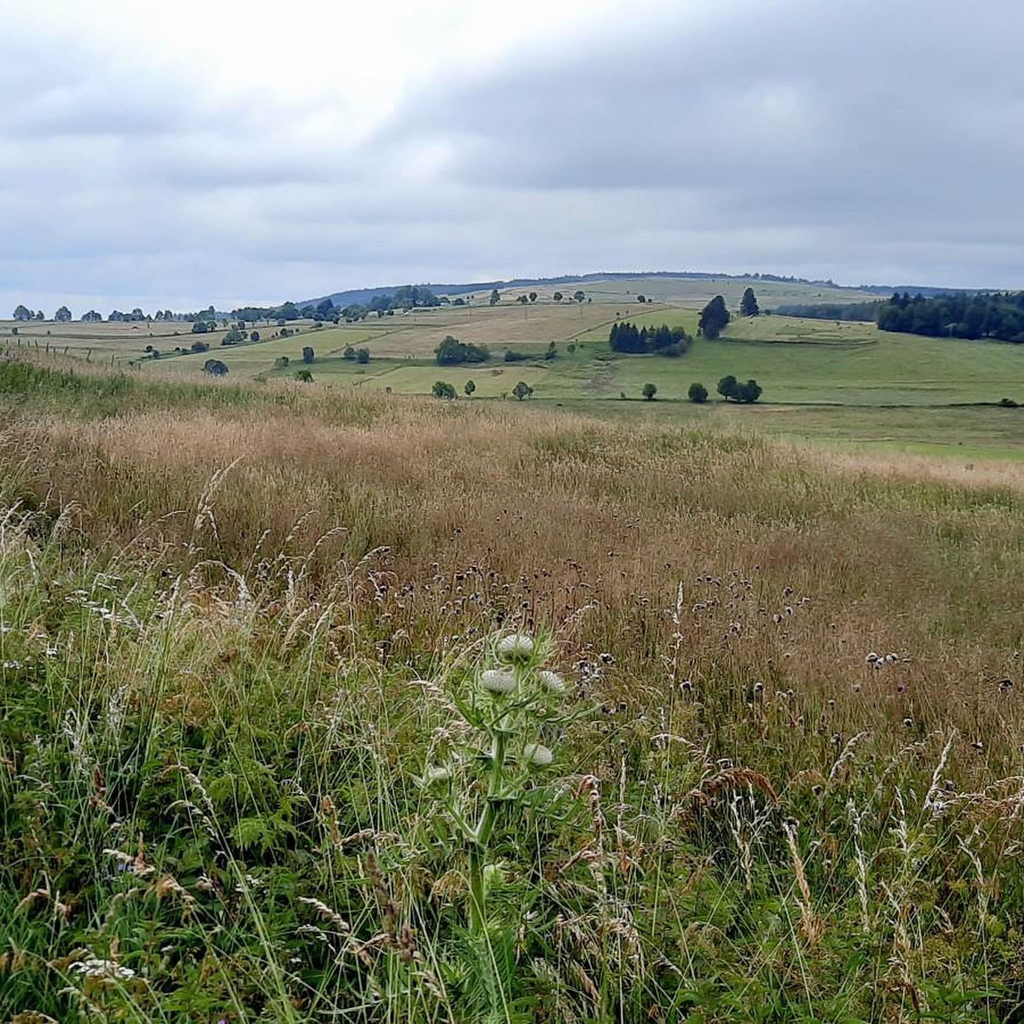
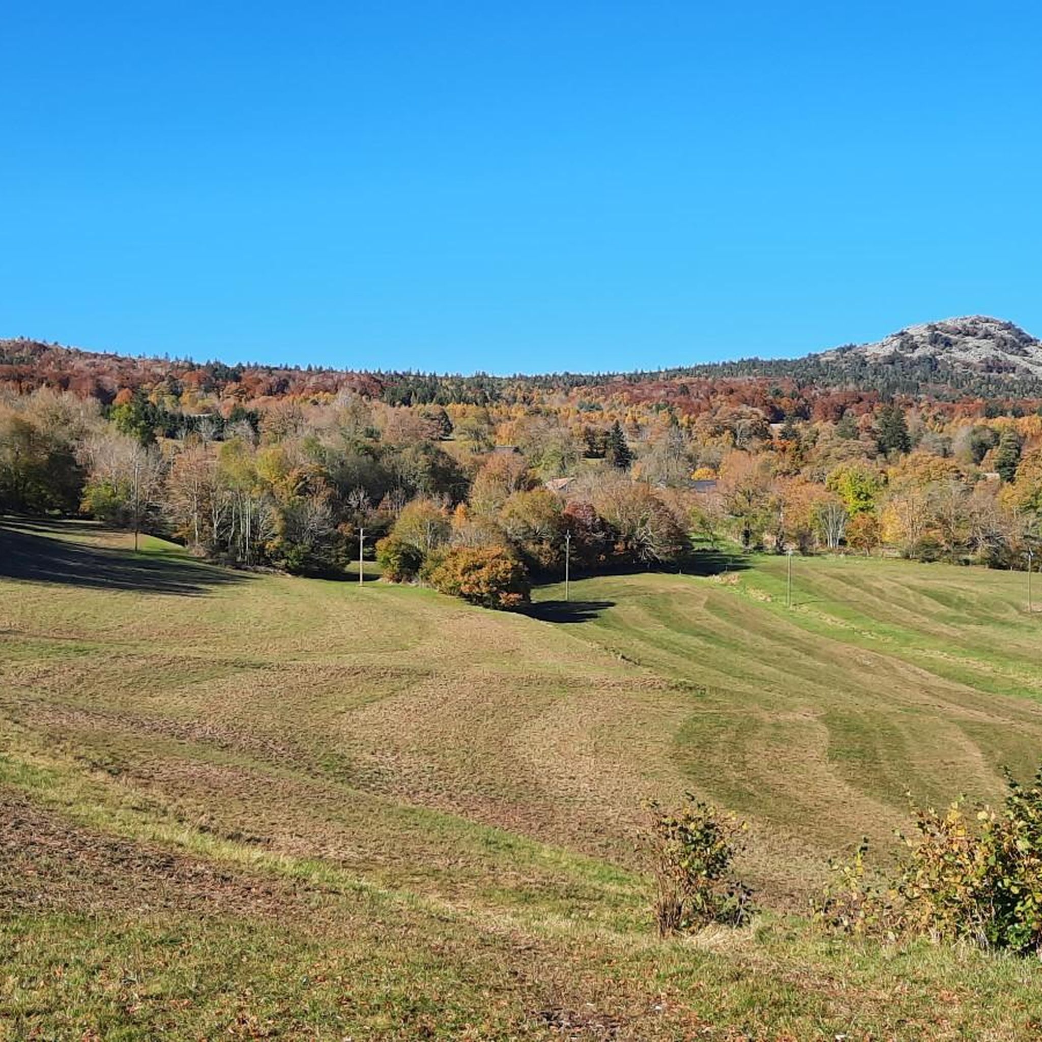
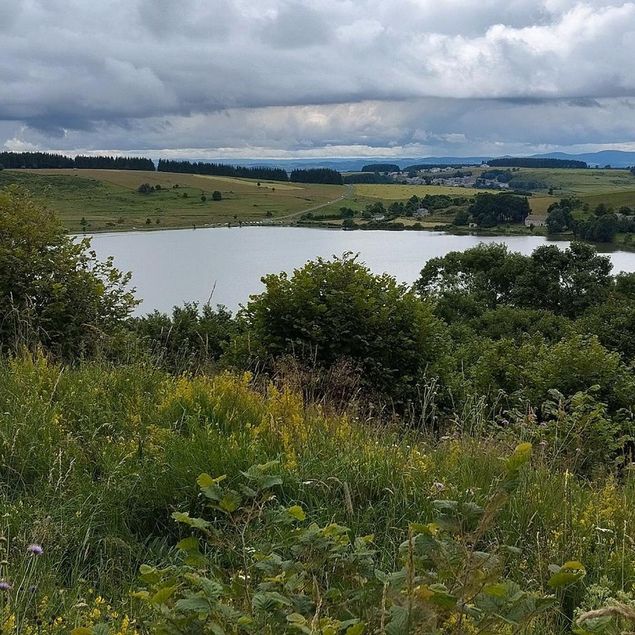
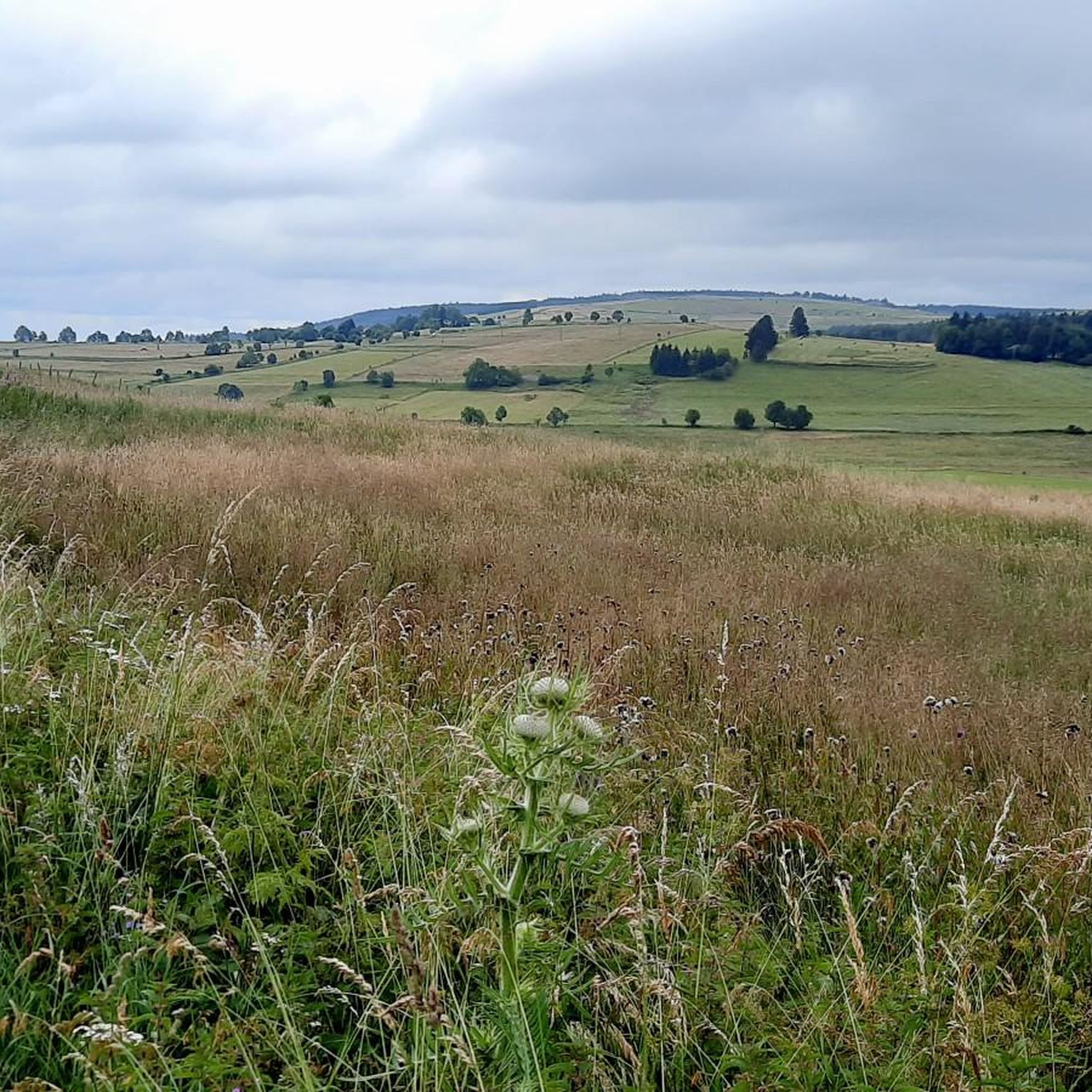

Tips from the Community

Beautiful viewpoint overlooking the village. Be careful on the climb to the cross; the rock is polished, and there's a risk of falling!
0
0


The pretty town of St-Julien-Chapteuil at the foot of the Meygal peaks.
0
0

This lake located at an altitude of over 1200 m has magnificent colours
0
0
A pass at an altitude of over 1500 m. It is the highest in Ardèche.
0
0

Culminating at more than 1,250 meters, Lake Saint-Front is the highest lake in Haute-Loire. This natural lake of volcanic origin is seven meters deep and underneath is 47 meters of mud accumulated over geological time.
0
0
The town of Saint-Julien-Chapteuil is nestled in the heart of the Meygal massif. The town retains traces of its medieval past and you can appreciate its beautiful church and the ruins of the Château de Chapteuil. It is a town which has its own identity, offering all services and which has many shops.
0
0

The Col de la Croix de Boutières from Saint-Martin-de-Valamas is 27.1km long with a total drop of 1024m. The average gradient is 3.5% with maximum gradients of 9%.
1
0
Frequently Asked Questions
What kind of terrain can I expect on road cycling routes around Champclause?
Road cycling in Champclause offers a diverse experience across a high plateau within the Massif Central's volcanic area. You'll encounter varied terrain, including significant elevation changes, winding roads through coniferous forests, and unique geological features. The region's volcanic heritage means you'll ride past extinct volcanoes, locally known as 'sucs,' providing dramatic panoramas and a distinct topography.
How challenging are the road cycling routes in Champclause?
Champclause provides a range of challenges for road cyclists. The routes feature varying altitudes, from approximately 1,100 meters to over 1,400 meters, ensuring both challenging climbs and scenic descents. For instance, the Col de Médille, elevation 1,332 m – Col de la Croix de Boutières loop from Recharinges is considered difficult with over 1,000 meters of elevation gain, while the Saint-Front Lake loop from La Banque offers a moderate challenge.
What natural landmarks or viewpoints can I discover while cycling in Champclause?
The volcanic landscape of Champclause is rich with natural landmarks. You can cycle past the distinctive 'sucs' (extinct volcanoes) that shape the region. A notable natural attraction is the Lac de Saint-Front, offering picturesque views. The area also features the Basalt organ of Queyrières and the spectacular Cascade de la Beaume, a waterfall that can be a rewarding stop.
Are there any historical or cultural sites to see along the routes?
Yes, beyond the natural beauty, Champclause and its surroundings offer cultural points of interest. You might encounter historical churches, such as the one in Champclause dating back to 1165, or the more unique church in Boussoulet. The nearby settlement of Saint-Julien-Chapteuil also offers cultural insights.
When is the best time of year for road cycling in Champclause?
Champclause is situated on a high plateau, experiencing rigorous winters. Therefore, the best time for road cycling is typically from late spring through early autumn (roughly May to October) when the weather is milder and the roads are clear of snow and ice. This period allows you to fully enjoy the scenic routes and comfortable temperatures.
Is parking available for cyclists in Champclause?
While specific designated cyclist parking areas are not detailed, Champclause is a rural commune. Cyclists typically find parking in village centers or near trailheads, especially in smaller hamlets like Recharinges or Fay-sur-Lignon, which serve as starting points for many routes. It's advisable to look for public parking spaces in these areas.
Can I reach Champclause by public transport with my bike?
Public transport options directly to Champclause are limited due to its rural, high-plateau location. While regional buses might serve nearby larger towns, direct services that accommodate bicycles to Champclause itself are not common. It's generally more practical to travel by car to a starting point in the region.
Are there any permits required for road cycling in Champclause?
No, there are no specific permits required for road cycling on public roads in Champclause or the surrounding Haute-Loire region. You are free to explore the network of roads and enjoy the natural beauty without needing special permissions.
What do other road cyclists enjoy the most about road cycling in Champclause?
The road cycling routes in Champclause are highly rated by the komoot community, with an average score of 4.5 stars from over 60 reviews. Cyclists frequently praise the region's unique volcanic landscapes, the combination of physical challenges and rural tranquility, and the generally low traffic on well-maintained roads. The breathtaking panoramic views from high points like Mont Testavoyre are also a highlight.
Are there any circular road cycling routes available in Champclause?
Yes, many of the road cycling routes in Champclause are designed as loops, allowing you to start and end in the same location. Examples include the Col de la Clède (1,385 m) – Col du Gerbier de Jonc loop from Fay-sur-Lignon and the Col de la Croix de Boutières – Boutières Cross Pass loop from Fay-sur-Lignon, providing convenient options for exploring the area.
Are there dog-friendly road cycling routes in Champclause?
While road cycling routes themselves are generally on public roads, the suitability for dogs depends on the dog's ability to run alongside a bike safely or be carried. The region's low-traffic roads can be an advantage. However, always ensure your dog is well-trained and consider their endurance. For off-road sections or breaks, the surrounding natural areas like the Meygal forest offer opportunities for walks.
Where can I find accommodation or places to eat after a ride in Champclause?
Champclause and its surrounding villages, such as Boussoulet, offer local gîtes ruraux (rural guesthouses) and small restaurants. These establishments cater to visitors and cyclists, providing opportunities for rest and local cuisine after your ride. Larger towns in the Haute-Loire region will have more extensive options for accommodation and dining.
Most popular routes around Champclause
Most popular attractions around Champclause

Get inspired with the komoot mobile app


Explore more
Browse the best Road cycling routes in other regions.
