The best road cycling routes around Saint-Victor-Malescours
4.3
(164)
3,280
riders
161
rides
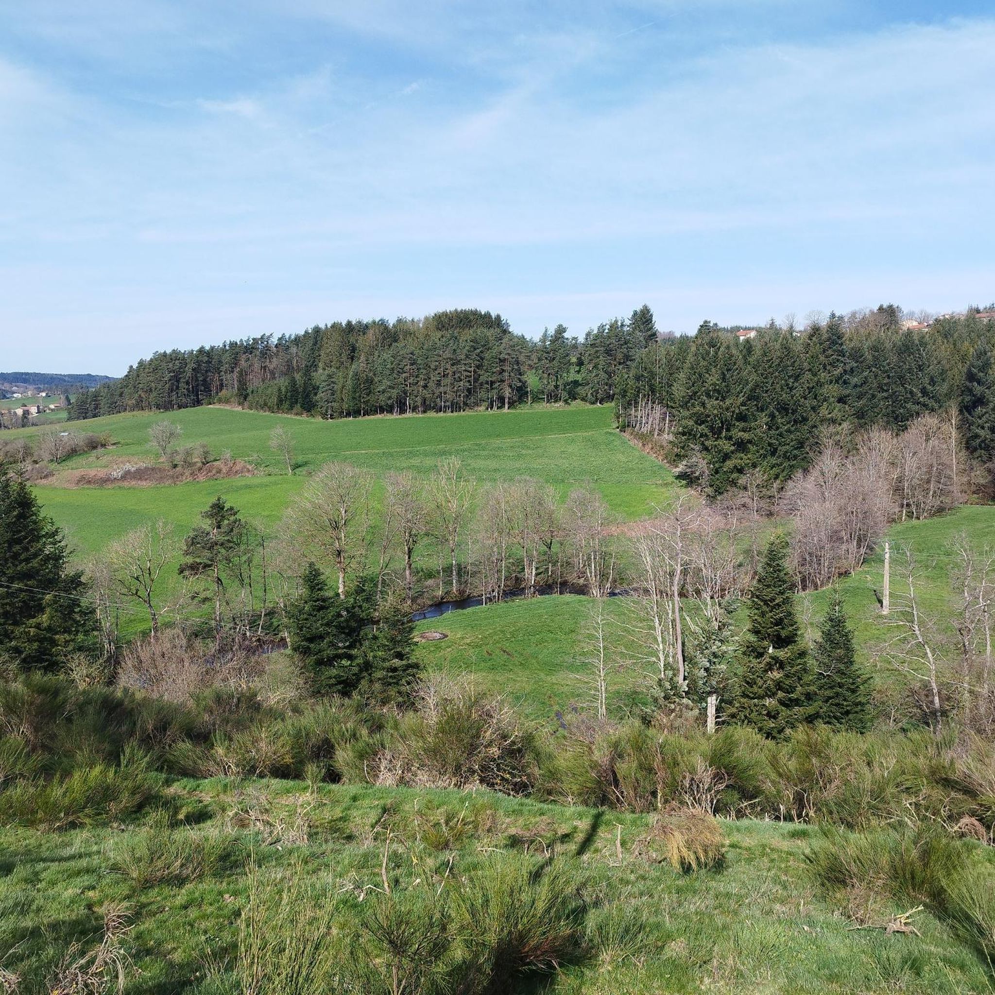
Road cycling routes around Saint-Victor-Malescours offer varied terrain within the Haute-Loire department. The commune is situated at an altitude of 875 meters, providing both ascents and descents for cyclists. Extensive woodlands and the clear Semène river, which borders and traverses the area for about 11 kilometers, contribute to scenic routes. The broader Velay region features a preserved natural environment, characterized by surrounding hills and rivers like the Dunière.
Best road cycling routes around Saint-Victor-Malescours
- The most popular road cycling route…
Last updated: July 1, 2026
4.6
(11)
136
riders
43.8km
02:08
640m
640m
Moderate road ride. Good fitness required. Mostly well-paved surfaces and easy to ride.
5.0
(2)
39
riders
58.6km
02:50
810m
810m
Moderate road ride. Good fitness required. Mostly well-paved surfaces and easy to ride.

Sign up for free
18
riders
28.6km
01:27
430m
430m
Moderate road ride. Good fitness required. Mostly well-paved surfaces and easy to ride.
19
riders
64.4km
03:12
1,010m
1,010m
Hard road ride. Very good fitness required. Mostly well-paved surfaces and easy to ride.
16
riders
47.4km
02:26
830m
830m
Moderate road ride. Good fitness required. Mostly well-paved surfaces and easy to ride.
Get access to more routes and recommendations from other explorers.
Sign up for free
Already have an account?
Our route recommendations are based on thousands of hikes, rides, and runs completed by other people on komoot.
Start today with a free account
Your next adventure awaits.
Login or Signup

Tips from the Community

Restaurant/café in Croix de Chabouret. The blueberry tart is excellent.
0
0

The pretty medieval village of Saint-Didier-en-Velay has a beautiful market hall (or Grenette) dating from 1880, a 14th century fortified house and more generally beautiful stones which are worth a little detour.
0
0
Le Riotord is a town full of assets located in the far east of Haute-Loire. It is at the crossroads of many well-marked and maintained hiking trails such as the GR 7 and the path to Saint-Jacques-de-Compostelle but also cycling routes such as the Via Fluvia and the Grande Traversée à VTT de la Haute-Loire. The town has a beautiful 11th century church or a pond ideal for a little nap by the water.
0
0
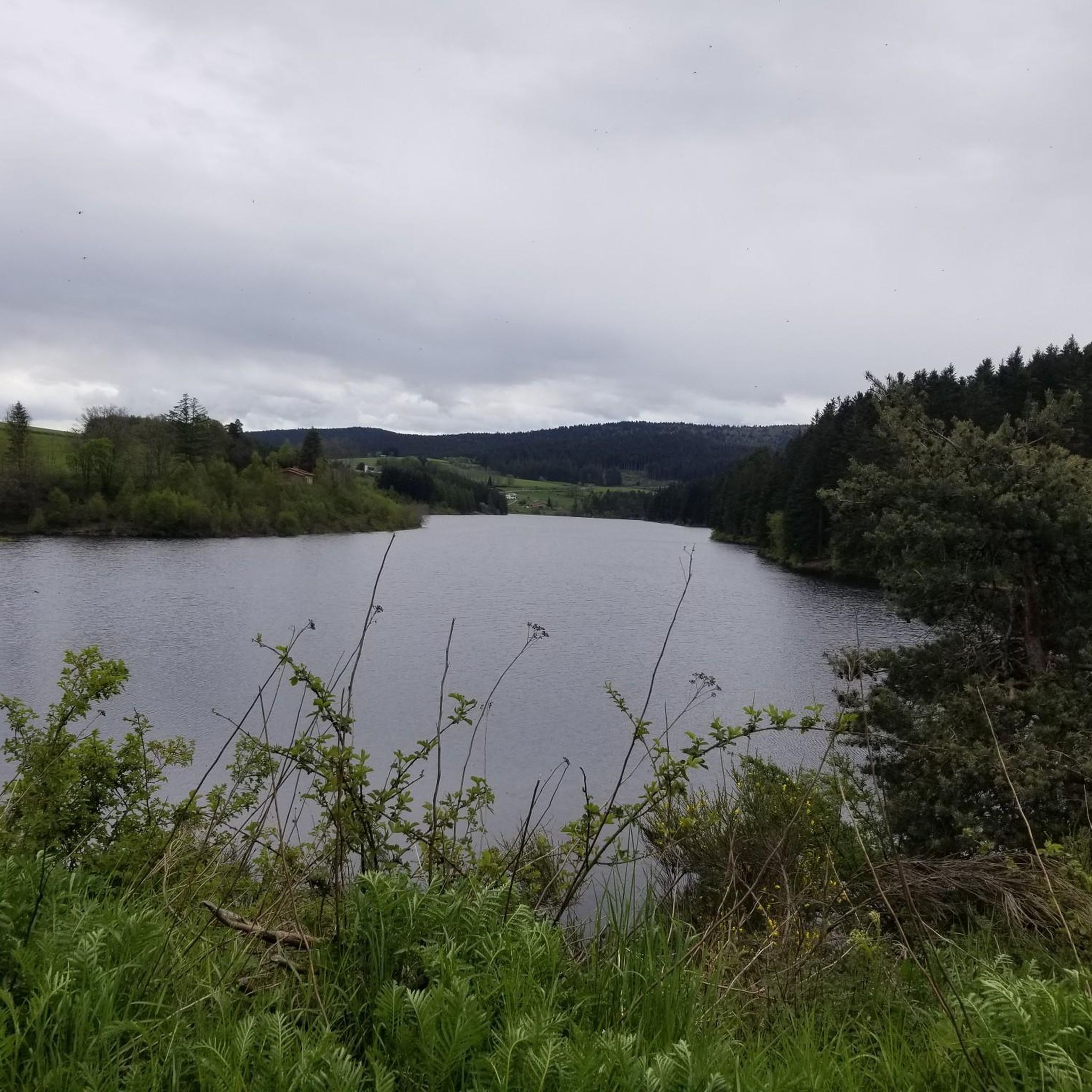
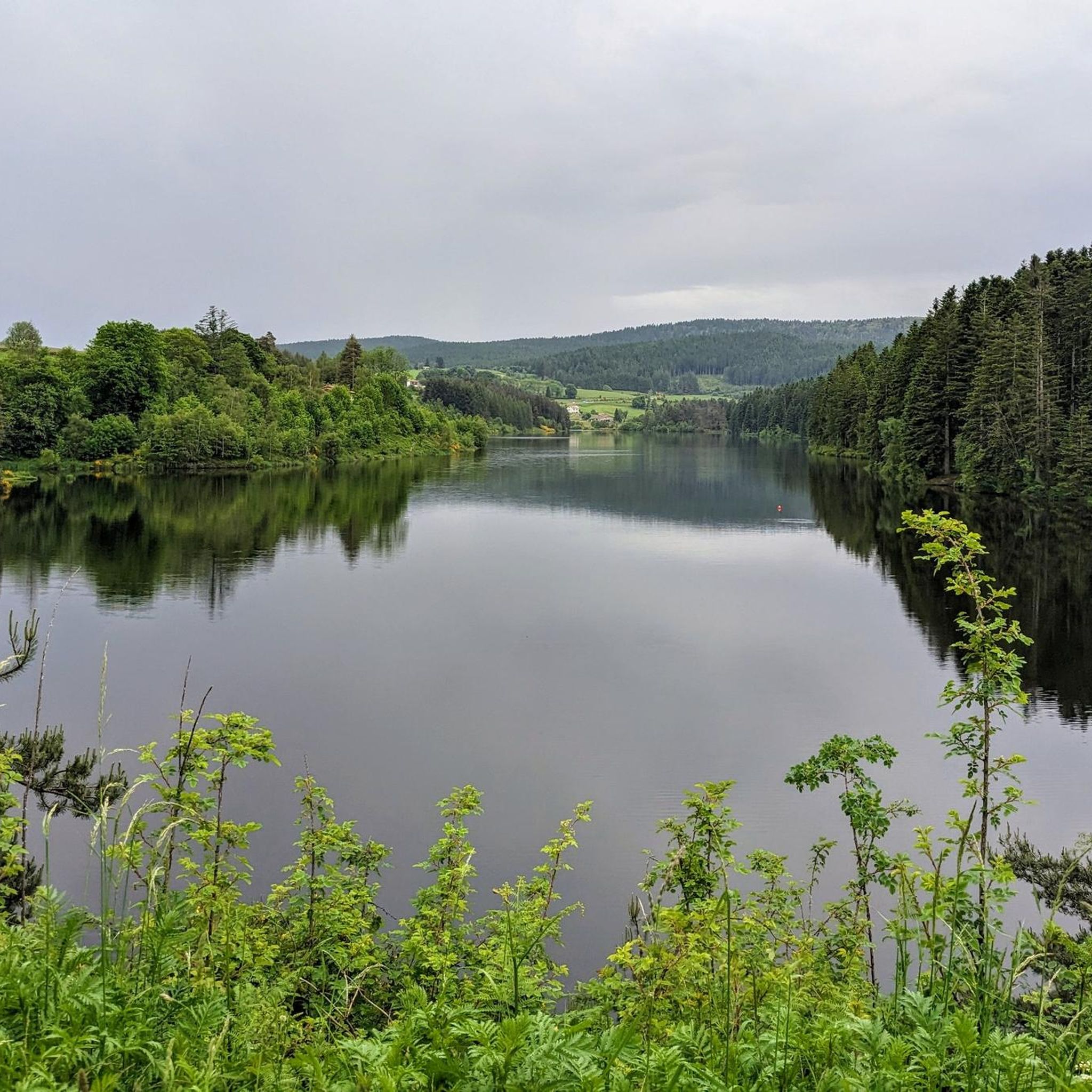
This overflow of the Semène offers a charming place, ideal for a break by the water. The path borders the river and passes under an old house.
0
0

Magnificent panoramas of the Alps, the Rhône valley, Pilat and the Monts du Vivarais, almost a 360°!
2
0

Really long hill with a low gradient between 3 and 7 %max. Stunning views to mountains all the way. After to reached 1250m a really long downhill will follow you for many many km.
1
0

Impressive view of the Sarcenas Viaduct. It is possible to cross by bike via Via Fluvia.
0
0

View of the Sacrenas viaduct which crosses the Dunières. It is possible to take it by bike via the Via Fluvia.
1
0
Frequently Asked Questions
What kind of terrain can I expect on road cycling routes around Saint-Victor-Malescours?
The region offers varied terrain, characterized by its altitude of 875 meters, providing both challenging ascents and rewarding descents. You'll cycle through extensive woodlands and alongside the clear Semène river, which traverses the area for about 11 kilometers. The broader Velay region features a preserved natural environment with surrounding hills and rivers like the Dunière, ensuring diverse and picturesque backdrops for your rides.
How many road cycling routes are available in the Saint-Victor-Malescours area?
There are over 160 road cycling routes available around Saint-Victor-Malescours. These routes cater to various skill levels, with about 9 easy, 86 moderate, and 65 difficult options to explore.
Are there any circular road cycling routes in Saint-Victor-Malescours?
Yes, many routes in the area are designed as loops. For example, the Jomare loop from Saint-Romain-Lachalm is a popular moderate option, and the more challenging Riotord – Col du Tracol loop from Saint-Romain-Lachalm offers significant ascents.
What are some notable landmarks or natural features to see while road cycling here?
Cyclists can encounter several interesting points. The Col du Tracol is a significant mountain pass, often included in more challenging routes. You might also pass by the Crêt de Chaussître, a prominent summit, or the scenic Riotord settlement. The Sarcenas Viaduct – Riotord loop from Saint-Romain-Lachalm specifically highlights the notable Sarcenas Viaduct.
Are there any routes suitable for beginners or those looking for an easier ride?
While many routes offer moderate to difficult challenges, there are approximately 9 easier road cycling routes available. These typically feature less elevation gain and shorter distances, allowing for a more relaxed experience through the region's beautiful landscapes.
What is the best time of year for road cycling in Saint-Victor-Malescours?
Given the region's altitude and natural setting, spring through autumn generally offers the most pleasant conditions for road cycling. The invigorating air and extensive woodlands are particularly enjoyable during these seasons. Winter cycling might be possible but could involve colder temperatures and potentially more challenging road conditions.
What do other road cyclists think about the routes in Saint-Victor-Malescours?
The road cycling routes around Saint-Victor-Malescours are highly regarded by the komoot community, with an average rating of 4.2 stars from over 140 reviews. More than 3000 road cyclists have used komoot to explore the varied terrain, often praising the scenic beauty and diverse challenges.
Are there any routes that feature water bodies like rivers or waterfalls?
Yes, the Semène river borders and traverses Saint-Victor-Malescours for about 11 kilometers, making it a frequent companion on many routes. While not directly on a road cycling route, the Waterfall in Parc Naturel Régional du Pilat is a nearby natural monument that could be explored as part of a longer trip or a separate visit.
Can I find routes with significant climbs for advanced road cyclists?
Absolutely. Saint-Victor-Malescours, with its 875-meter altitude, offers numerous routes with challenging ascents. The Riotord – Col du Tracol loop from Saint-Romain-Lachalm, for instance, includes over 1000 meters of elevation gain, making it a demanding ride for experienced cyclists. Another difficult option is the Chaubouret Cross – Pyramid of the Madonna loop from Saint-Romain-Lachalm.
Are there any specific routes that showcase the region's natural beauty?
Many routes highlight the area's natural charm. The Semène Spillway loop from Saint-Romain-Lachalm offers a moderate ride alongside the Semène river. The extensive woodlands and surrounding hills are a constant feature, providing picturesque views on almost any route you choose.
What is the typical duration for road cycling routes in this area?
Route durations vary significantly based on distance and elevation. Moderate routes like the Jomare loop from Saint-Romain-Lachalm typically take around 2 hours and 8 minutes. More challenging and longer routes, such as the Riotord – Col du Tracol loop from Saint-Romain-Lachalm, can take approximately 3 hours and 5 minutes or more.
Most popular routes around Saint-Victor-Malescours
Most popular attractions around Saint-Victor-Malescours

Get inspired with the komoot mobile app


Explore more
Browse the best Road cycling routes in other regions.
