The best road cycling routes around Charmoy
4.8
(79)
3,931
riders
405
rides
Road cycling routes around Charmoy traverse a landscape characterized by rolling hills, significant elevations, and a mix of forested areas and open countryside. The region features prominent hills such as Mont d'Uchon and Signal d'Uchon, alongside various ponds and small lakes. Road cyclists can expect routes with notable elevation gains, indicating a challenging yet rewarding terrain for cycling.
Best road cycling routes around Charmoy
- The most popular road cycling route is Signal d'Uchon – Vauvillard Pond loop from La Tagnière…
Last updated: July 6, 2026
5.0
(3)
55
riders
40.6km
02:05
730m
730m
Moderate road ride. Good fitness required. Mostly well-paved surfaces and easy to ride.
42
riders
60.2km
03:20
1,250m
1,250m
Hard road ride. Very good fitness required. Mostly well-paved surfaces and easy to ride.

Sign up for free
5.0
(1)
20
riders
30.7km
01:35
520m
520m
Moderate road ride. Good fitness required. Mostly well-paved surfaces and easy to ride.
3.0
(1)
35
riders
Moderate road ride. Good fitness required. Mostly well-paved surfaces and easy to ride.
18
riders
Moderate road ride. Good fitness required. Mostly well-paved surfaces and easy to ride.
Get access to more routes and recommendations from other explorers.
Sign up for free
Already have an account?
Our route recommendations are based on thousands of hikes, rides, and runs completed by other people on komoot.
Start today with a free account
Your next adventure awaits.
Login or Signup
Tips from the Community

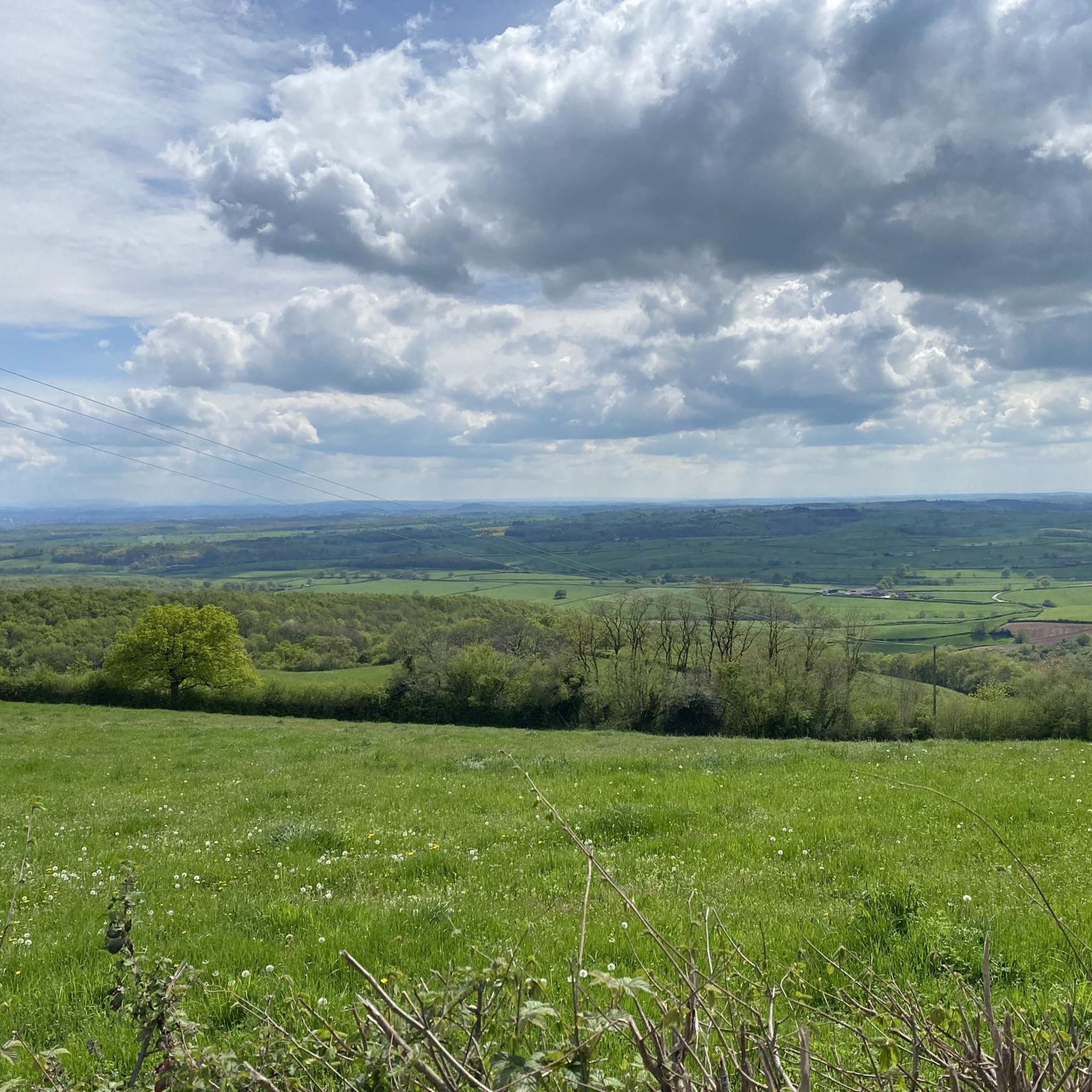
Nice climb, tough from Mesvres
0
0
Here is the route for the ascent of the Col des Blanchots starting from Broye
1
0

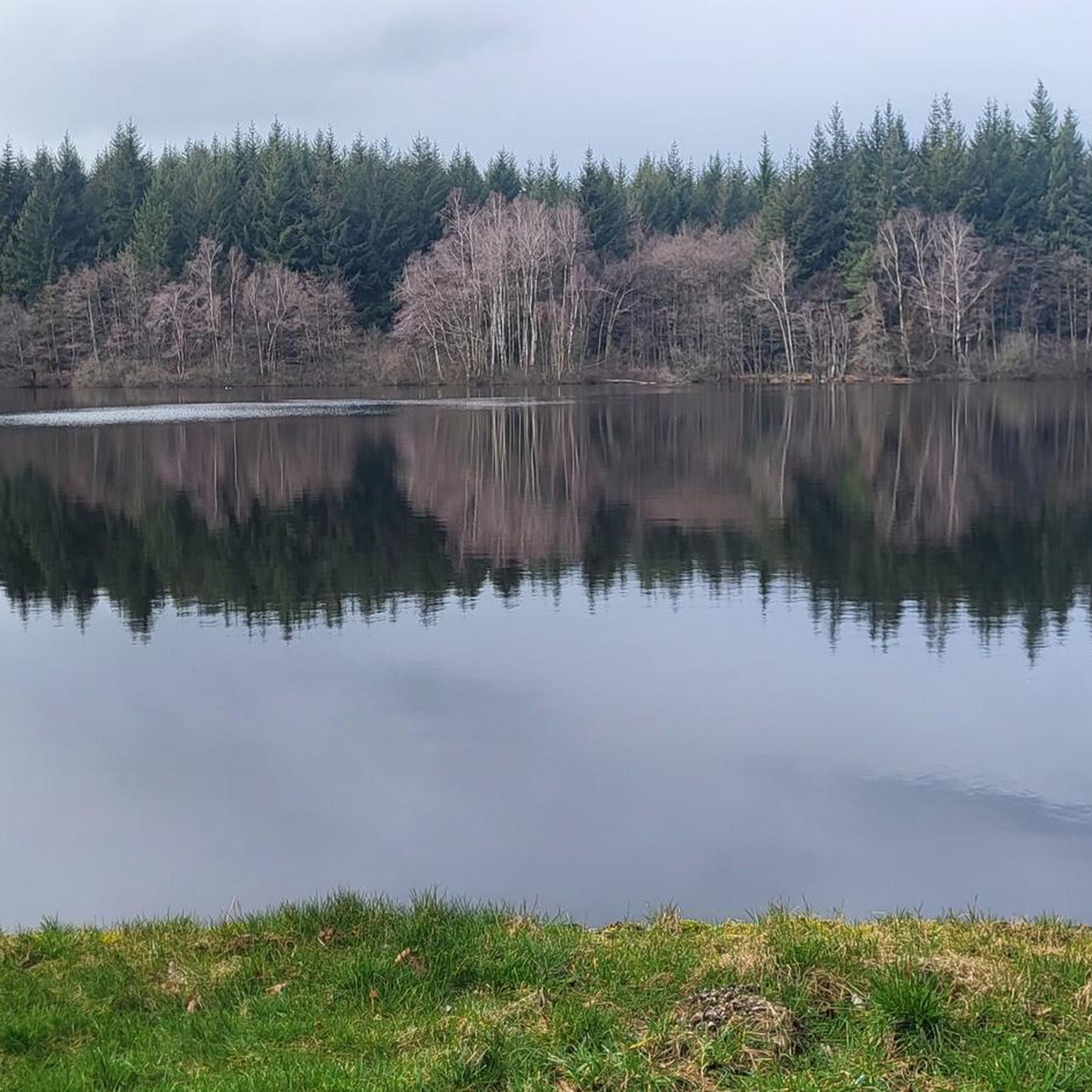
A small, well-hidden lake nestled in its greenery. Set foot on land and find a quiet spot by the water for your lunch break or a nap. The place is peaceful and incredibly beneficial.
0
0
The lordship of Uchon developed from the 11th century onwards thanks to the lords of Chateauvillain, notably with the construction of the Church of Saint Sebastian in the 12th century (now dedicated to Saint Roch), in which Jean de Chateauvillain placed the relics of Saint Sebastian upon his return from the Crusades. He is also responsible for the Calvary of the Cross of Messire Jean, located at the summit of the mountain and restored in 2021 (funded by the BROC and TRAD UCHON associations). Suffering heavy destruction during the Hundred Years' War, the village began a long decline, accentuated by the fragmentation of the barony of Uchon and the dismantling of the castle in the 16th century. However, at the turn of the 15th and 16th centuries, the site of Uchon experienced significant growth linked to the pilgrimage centered around the relics of Saint Sebastian, invoked to protect against the plague that was raging at the time. Faced with the influx of pilgrims from Autun, the church proved too small to accommodate crowds of up to 5,000 people. It was decided to build an oratory outside the church, housing an altar, to bring the faithful together for celebrations. The pilgrimage continued until the 18th century before disappearing at the turn of the French Revolution. The altar was then replaced by a Calvary, surmounted by a Virgin Mary, in the first half of the 20th century. Since December 9, 1929, the Oratory of Belle-Croix has been listed as a historic monument. The oratory, built on a granite mound like the nave of the neighboring church, is oriented (facing east). Raised in a cantilever on corbels, this monument surprises with its singular silhouette which is not without evoking the unstable balance of the "Pierre-qui-croule" not far from there. In addition, the spire of the oratory, surmounted by a metal cross, gives a beautiful dynamic to the whole. Square in plan, the oratory receives an octagonal base cap resting on squinches. The masonry is made of cut granite blocks, perhaps from the castle which was dismantled at the same time. The masonry details (moldings, chamfers, niches, squinches) demonstrate the care taken in the implementation. Inside, a finely sculpted sandstone Calvary, surmounted by a Virgin and Child, contrasts with the rusticity of the granite. The interior masonry of the oratory does not display any particular decoration apart from a stone running through it, on the west facade, forming a sculpted capital on the interior side and a cross in bas-relief on the exterior, probably a reused stone.
0
0


Picturesque town with Château de Couches, Marguerite de Bourgogne, hiking and mountain bike trails, wash house circuit, tennis and numerous events...
7
0
The fact that they are attributed to the Middle Neolithic does not in any way rule out a presence that could go back to the Bronze Age. With a length of 7.30 m and a weight of around 30 tons, the large menhir is the most impressive in the whole of eastern France.
14
0
Frequently Asked Questions
How many road cycling routes are available around Charmoy?
Charmoy offers a comprehensive network of over 390 road cycling routes. This includes a variety of options, from moderate loops to more challenging ascents, catering to different skill levels.
What kind of terrain can I expect when road cycling in Charmoy?
Road cycling in Charmoy is characterized by rolling hills and significant elevations, notably around Mont d'Uchon and Signal d'Uchon. You'll encounter a mix of forested areas and open countryside, often with scenic pond views, providing a challenging yet rewarding experience.
Are there road cycling routes suitable for beginners in Charmoy?
While Charmoy is known for its challenging hills, there are approximately 30 easy road cycling routes available. These routes offer a gentler introduction to the region's beautiful landscapes.
Where can I find challenging road cycling routes in Charmoy?
For experienced road cyclists seeking a challenge, Charmoy boasts over 100 difficult routes. A notable option is the Vauvillard Pond – Oratoire de la Belle-Croix loop from Montcenis, which features significant elevation gain and covers over 42 km.
Are there loop road cycling routes available in Charmoy?
Yes, many of the road cycling routes in Charmoy are designed as loops, allowing you to start and finish at the same point. An example is the Étang de la Tour – Menhirs of Époigny loop from Le Creusot, which offers a moderate ride of nearly 39 km.
What are some scenic viewpoints or natural attractions along road cycling routes in Charmoy?
Charmoy's routes often pass by beautiful natural attractions. You can find stunning views at Signal d'Uchon – Rochers du Carnaval or enjoy the tranquility of Vauvillard Pond. The region also features unique rock formations like Les Rochers d'Uchon.
When is the best time of year for road cycling in Charmoy?
The most favorable time for road cycling in Charmoy is typically from spring through early autumn (April to October). During these months, the weather is generally milder, and the natural scenery is at its most vibrant, making the climbs more enjoyable.
Are there opportunities for cafe stops or refreshments along the routes?
While specific cafe stops are not always directly on every route, the villages and towns within and around Charmoy, such as La Tagnière or Les Marais, often provide opportunities for refreshments. Planning your route to pass through these areas is recommended for breaks.
Is parking available for road cyclists in Charmoy?
Parking is generally available in the starting points of many routes, particularly in the smaller towns and villages like La Tagnière or Les Marais. It's advisable to check local parking regulations upon arrival, especially during peak seasons.
What do other road cyclists enjoy about the routes in Charmoy?
The road cycling routes in Charmoy are highly rated by the komoot community, with an average score of 4.8 stars from over 60 reviews. Cyclists frequently praise the challenging climbs, the diverse landscapes ranging from forests to open countryside, and the scenic views of ponds and hills.
Are there family-friendly road cycling routes in Charmoy?
While many routes feature significant elevation, some of the easier routes could be suitable for families with older children who are comfortable with some climbing. It's best to review the elevation profiles of the easier routes to determine suitability for your family.
How accessible are Charmoy's road cycling routes by public transport?
Charmoy is a rural area, and public transport options directly to trailheads may be limited. Access is generally easier by car, allowing you to reach various starting points for the routes. It's recommended to check regional public transport schedules if you plan to rely on it.
Most popular attractions around Charmoy

Get inspired with the komoot mobile app


Explore more
Browse the best Road cycling routes in other regions.
