The best walks and hikes around Mauléon-Barousse
4.6
(233)
1,641
hikers
89
hikes
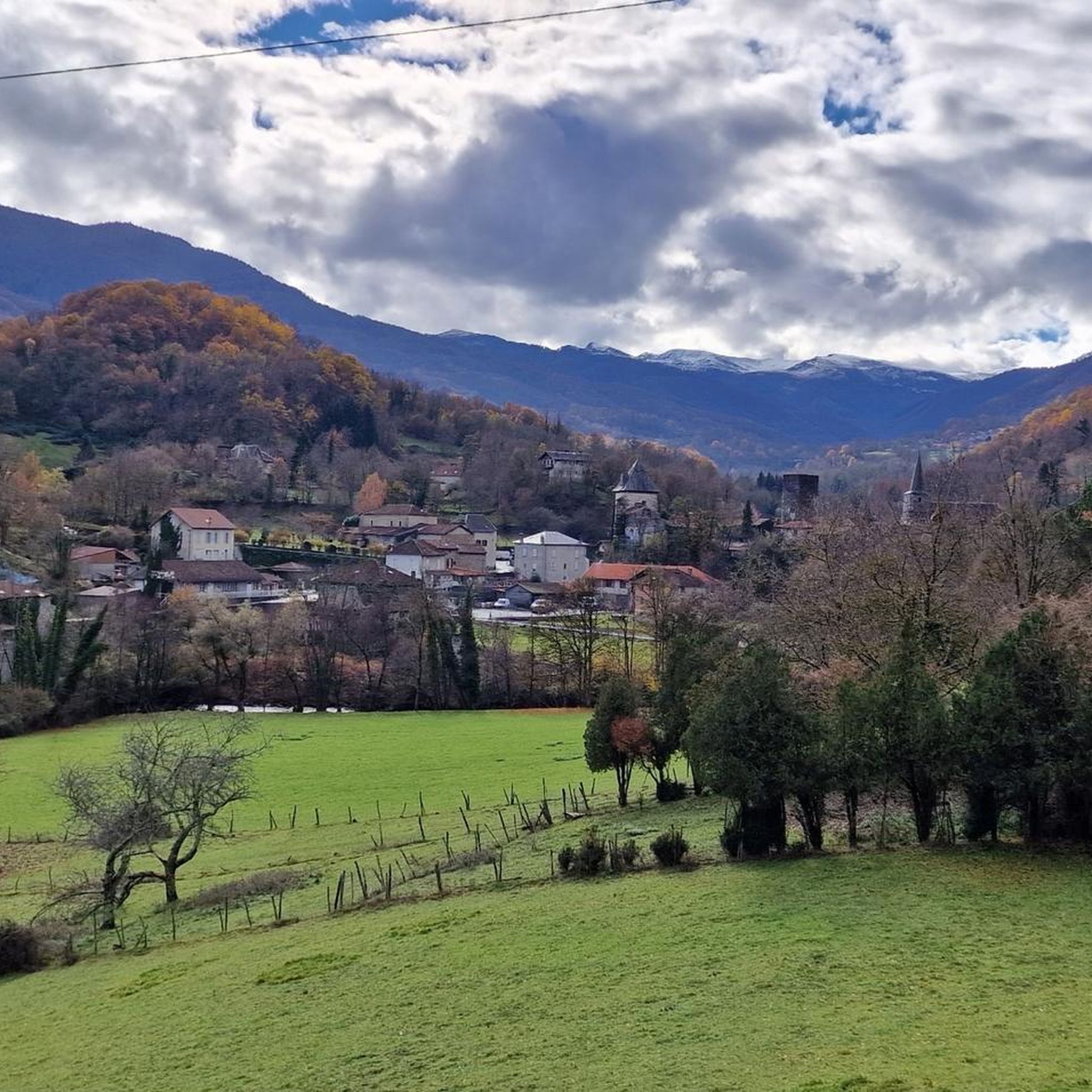
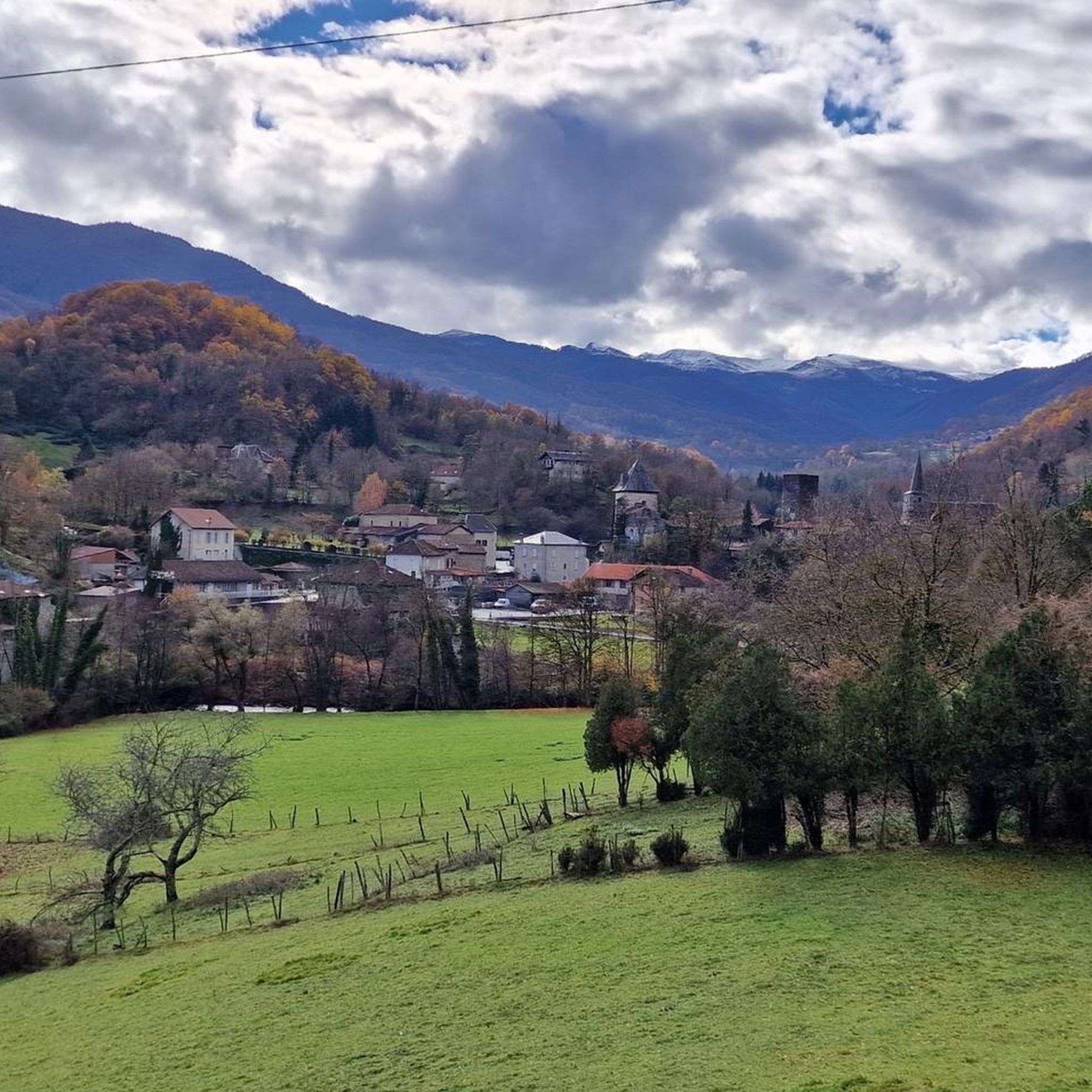
Hiking around Mauléon-Barousse offers diverse landscapes within the Pyrenees, characterized by authentic mountain terrain. The region features dense forests, clear lakes, and significant peaks, providing varied hiking experiences. Trails often lead through valleys with notable elevation changes, reflecting the area's mountainous nature. This environment supports a range of routes suitable for different fitness levels.
Best hiking trails around Mauléon-Barousse
- The most popular hiking route is Cascade du Gouffre de Saoule loop from Mauléon-Barousse, a 6.1 miles (9.9 km) trail that takes 3 hours 2 minutes to complete. This moderate route leads to a beautiful waterfall situated under a natural vault.
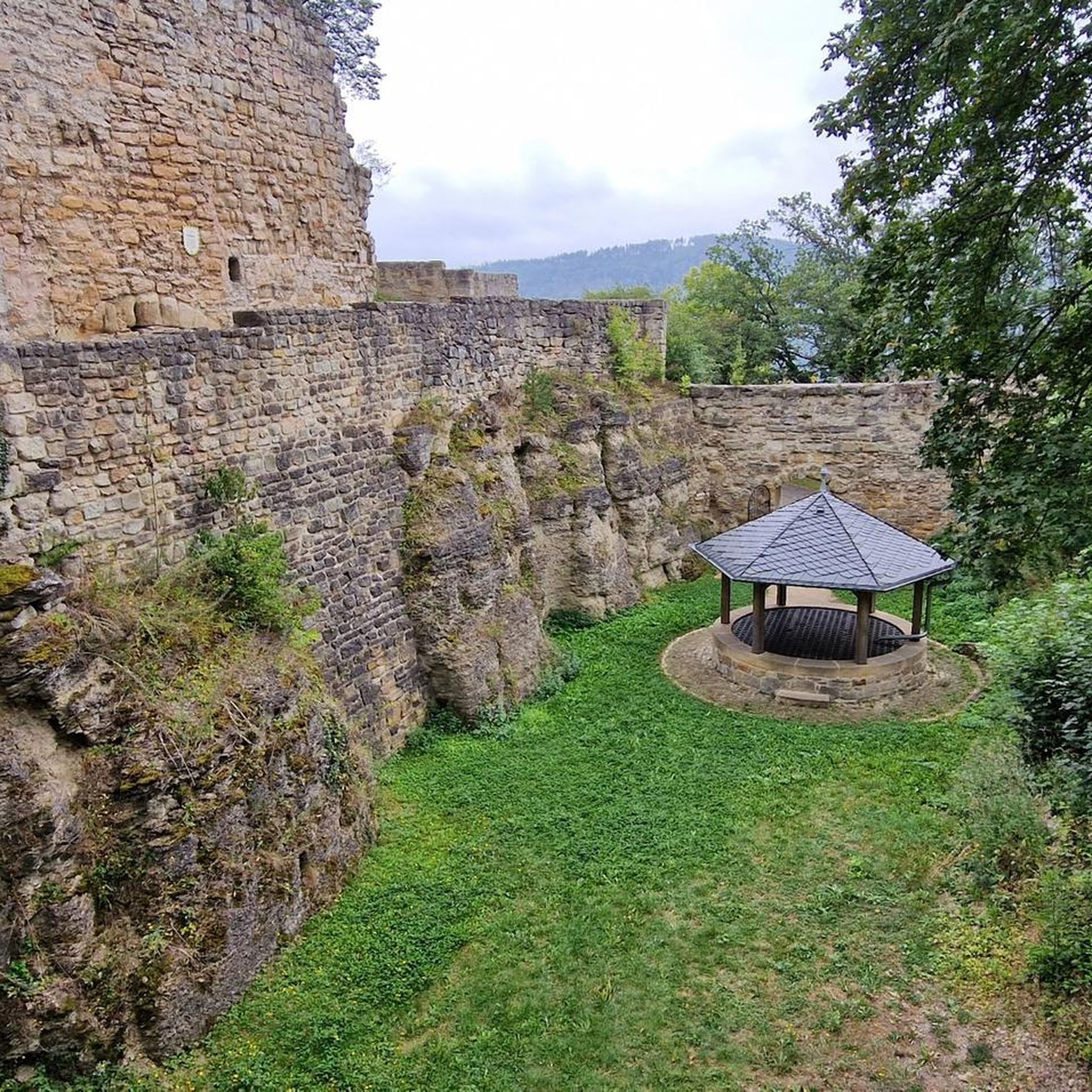
- Another top favourite among local hikers is Mauléon-Barousse – Château de Bramevaque loop from Mauléon-Barousse, a moderate 5.7 miles (9.3 km) path. This trail combines natural scenery with historical exploration, passing the ruins of Château de Bramevaque.
- Local hikers also love the Tourroc Peak loop from Sacoué, a 7.8 miles (12.5 km) trail leading through mountainous terrain, often completed in about 5 hours 3 minutes. This difficult route offers panoramic views from Pic de Tourroc.
- Hiking around Mauléon-Barousse is defined by Pyrenean peaks, dense forests, and waterfalls. The extensive network of hiking trails offers options for various ability levels, from easy walks to challenging ascents.
- The routes in Mauléon-Barousse are highly rated by the komoot community with an average score of 4.6 stars from over 200 reviews. More than 1,500 hikers have used komoot to explore Mauléon-Barousse's varied terrain.
Last updated: July 9, 2026
4.9
(13)
104
hikers
Moderate hike. Good fitness required. Easily-accessible paths. Suitable for all skill levels.
4.9
(13)
66
hikers
8.08km
02:21
210m
210m
Moderate hike. Good fitness required. Easily-accessible paths. Suitable for all skill levels.

Sign up for free
4.5
(2)
14
hikers
11.1km
03:37
470m
480m
Moderate hike. Good fitness required. Easily-accessible paths. Suitable for all skill levels.
4.8
(6)
15
hikers
8.16km
02:35
300m
290m
Moderate hike. Good fitness required. Mostly accessible paths. Sure-footedness required.
4.0
(1)
57
hikers
14.8km
05:43
1,020m
1,020m
Hard hike. Very good fitness required. Sure-footedness, sturdy shoes and alpine experience required.
Get access to more routes and recommendations from other explorers.
Sign up for free
Already have an account?
Our route recommendations are based on thousands of hikes, rides, and runs completed by other people on komoot.
Start today with a free account
Your next adventure awaits.
Login or Signup

Tips from the Community

A family-friendly hike or mountain bike ride around the world, very easy level. For an exceptional viewpoint.
0
0

Magnificent tree in the middle of the Village
0
0

Small and very pretty town at the foot of Port Balès. It is worth stopping at the town fountain to take a breather before the climb to Port de Balès.
0
0

The pretty little village of Mauléon-Barousse marks the start of the ascent towards the port of Balès. The climb is 18.9 kilometers long with an average of 6.3%, some of which exceed 14%.
2
0

Hike worth the detour. Different car parks at different altitudes to make the exit more difficult.
1
0

Mauléon- Barousse marks the end of the first part of the low-sloping pass and the start of the steeper slopes.
1
0


Very helpful then nothing more comes up.
2
0
Frequently Asked Questions
How many hiking trails are available around Mauléon-Barousse?
There are over 90 hiking trails in the Mauléon-Barousse region, offering a wide variety of experiences. These include 38 easy routes, 42 moderate trails, and 12 more challenging options for experienced hikers.
What kind of terrain can I expect on hikes in Mauléon-Barousse?
The terrain around Mauléon-Barousse is characteristic of the Pyrenees, featuring authentic mountain landscapes. You'll encounter dense forests, crystal-clear lakes, and majestic peaks. Trails often involve significant elevation changes as they wind through valleys and ascend to viewpoints, providing diverse and scenic hiking experiences.
Are there any hikes that feature waterfalls in the area?
Yes, the region is home to the beautiful Cascade du Gouffre de Saoule. You can experience this natural wonder on the Cascade du Gouffre de Saoule loop from Mauléon-Barousse, a moderate 9.9 km trail that leads directly to the waterfall situated under a natural vault.
Are there any family-friendly hiking options in Mauléon-Barousse?
Yes, Mauléon-Barousse offers many accessible paths suitable for families or those seeking a leisurely stroll. These often include walks lasting up to two hours with moderate elevation gains, making them ideal for beginners or younger hikers. With 38 easy routes available, you'll find plenty of options.
Can I bring my dog on the hiking trails in Mauléon-Barousse?
Many trails in the Mauléon-Barousse area are suitable for dogs, but it's always recommended to keep them on a leash, especially in areas with livestock or protected wildlife. Be sure to check local regulations for specific routes or natural reserves.
Are there any circular walks available in Mauléon-Barousse?
Yes, many of the popular routes around Mauléon-Barousse are circular. For instance, the Mauléon-Barousse – Château de Bramevaque loop from Mauléon-Barousse is a moderate 9.3 km circular path that combines natural scenery with historical exploration.
What historical landmarks can I see while hiking in Mauléon-Barousse?
The region offers a blend of natural beauty and historical sites. You can explore the ruins of the medieval Château de Bramevaque, which is often included in local hiking routes. Additionally, the area is close to other significant landmarks like the Saint-Just Church of Valcabrère.
What are the best viewpoints or panoramic spots on hikes in Mauléon-Barousse?
For breathtaking panoramic views, the Tourroc Peak loop from Sacoué is highly recommended. This difficult 12.5 km route leads to Pic de Tourroc, offering an extraordinary 360° panorama overlooking the Comminges and Barousse mountains and the Tarbes plain.
What is the best time of year to go hiking in Mauléon-Barousse?
The spring, summer, and autumn months generally offer the most favorable conditions for hiking, with pleasant temperatures and vibrant landscapes. However, for those seeking a unique experience, some routes like the Tourroc Peak loop can be done with snowshoes in winter, offering a different perspective of the snowy Pyrenees.
Are there options for challenging hikes in the region?
Absolutely. For those with very good fitness and sure-footedness, there are 12 difficult routes available. The Tourroc Peak loop from Sacoué is a prime example, involving significant elevation changes and offering a rewarding challenge with stunning views.
What do other hikers enjoy most about hiking in Mauléon-Barousse?
The hiking trails in Mauléon-Barousse are highly rated by the komoot community, with an average score of 4.6 stars from over 200 reviews. Hikers often praise the diverse Pyrenean landscapes, the combination of natural beauty with historical sites, and the variety of routes suitable for all ability levels.
Are there any lakes or natural monuments to explore near the trails?
Yes, the region boasts several natural attractions. You can find the local Lac de Mauléon-Barousse, which offers amenities for sunny days. Additionally, the Lake Saint-Pé-d'Ardet is another beautiful natural monument in the vicinity, providing serene spots for relaxation.
Most popular routes around Mauléon-Barousse
Most popular attractions around Mauléon-Barousse

Get inspired with the komoot mobile app


Explore more
Browse the best Hikes in other regions.
