The best walks and hikes around Hérimoncourt
4.4
(330)
2,327
hikers
156
hikes
Hiking trails around Hérimoncourt offer diverse landscapes within the Doubs department of the Bourgogne-Franche-Comté region. The area features varied terrain, including forests, valleys, and hills, with altitudes ranging from 350m to 578m. Natural features like the Fontaine de Roches, a tufa waterfall, and the Source de la Doue, a cliffside resurgence, are accessible via well-maintained paths. The region's extensive network of trails traverses wooded areas and provides views of the surrounding countryside.
Best hiking trails around Hérimoncourt
- The most popular…
Last updated: July 9, 2026
3.5
(4)
9
hikers
4.48km
01:19
120m
120m
Hike an easy 2.8-mile loop from Roches-lès-Blamont to the unique Fontaine de Roches waterfall, gaining 389 feet in 1 hour and 18 minutes.
4.4
(5)
35
hikers
10.9km
03:06
230m
230m
Moderate hike. Good fitness required. Easily-accessible paths. Suitable for all skill levels.

Sign up for free
4.0
(4)
14
hikers
18.3km
05:24
530m
530m
Hard hike. Very good fitness required. Mostly accessible paths. Sure-footedness required.
4.5
(2)
11
hikers
7.28km
01:59
110m
110m
Easy hike. Great for any fitness level. Easily-accessible paths. Suitable for all skill levels.
3.0
(1)
7
hikers
11.1km
03:06
210m
210m
Moderate hike. Good fitness required. Easily-accessible paths. Suitable for all skill levels.
Get access to more routes and recommendations from other explorers.
Sign up for free
Already have an account?
Our route recommendations are based on thousands of hikes, rides, and runs completed by other people on komoot.
Start today with a free account
Your next adventure awaits.
Login or Signup


Tips from the Community

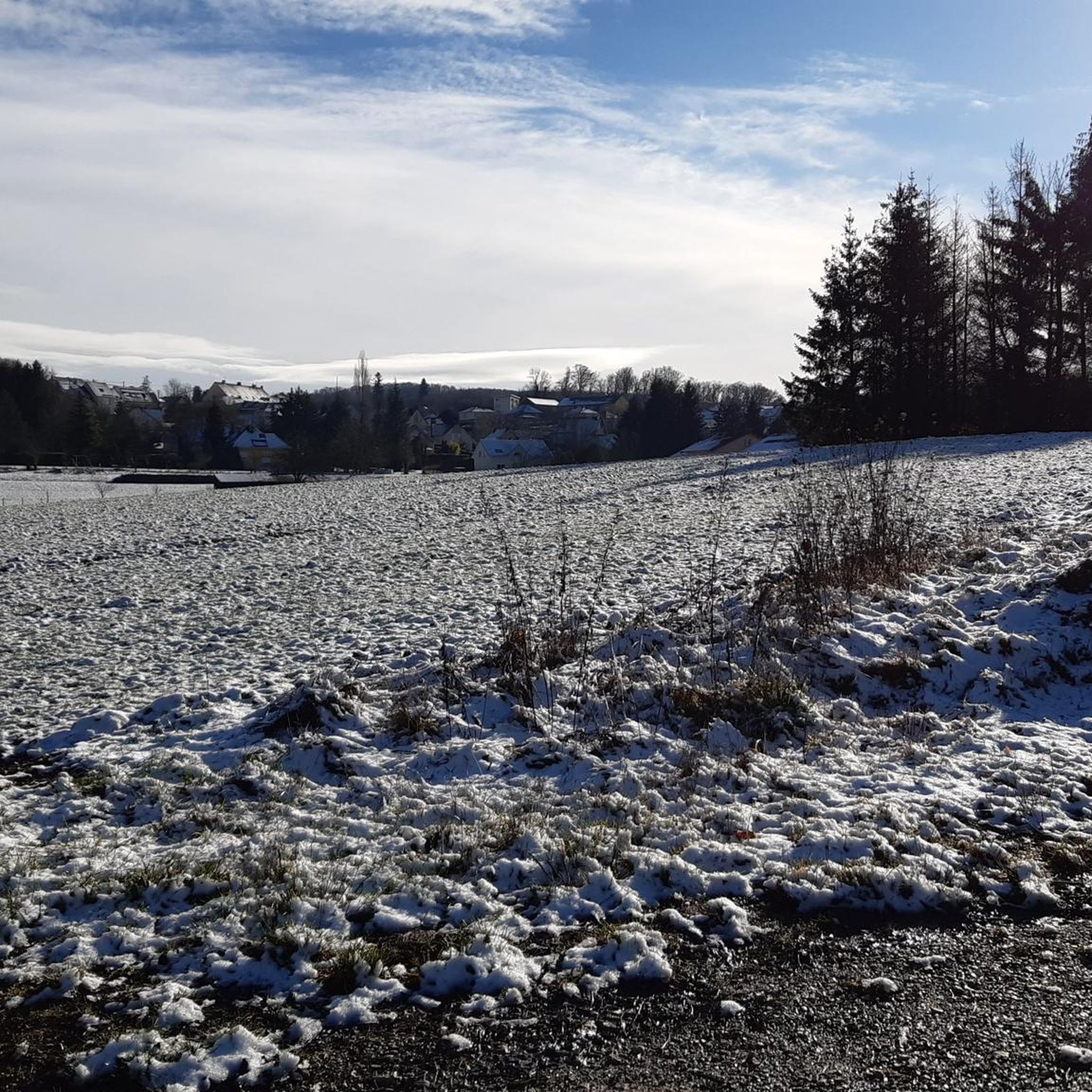
You can enjoy this forest trail in the valley located below a rocky promontory. You can enjoy the surrounding forest, as well as the historical and cultural heritage of the village above.
2
0
The Roches fountain is a natural fountain formed by a limestone rock called tuff or travertine, which creates a beautiful waterfall of water. The fountain is located at the foot of a cliff, near the village of Roches-lès-Blamont, which sits on a rocky promontory overlooking a valley. You can access the fountain by following a path that leaves the village and goes down to the stream. The hike is approximately 2 km and takes approximately 45 minutes. You can enjoy the view of the fountain and the surrounding forest, as well as the historical and cultural heritage of the village, which includes some old buildings and monuments. The fountain is particularly impressive after heavy rains, when it flows abundantly and creates a veil of water above the tuff.
2
0


A place where tranquility reigns supreme.
1
0

Magnificent view of the region by clear sky...
1
0

Abbévillers is a small, friendly town in the Montbéliard attraction area. In its town centre, a supermarket with generous shelves invites hikers, pedestrians and cyclists alike to indulge.
1
0
The source of the Doue is located behind an old mill which once used dynamite from the water to grind the cereals of the region. During the hot summers, the place turns into a haven of freshness.
1
0

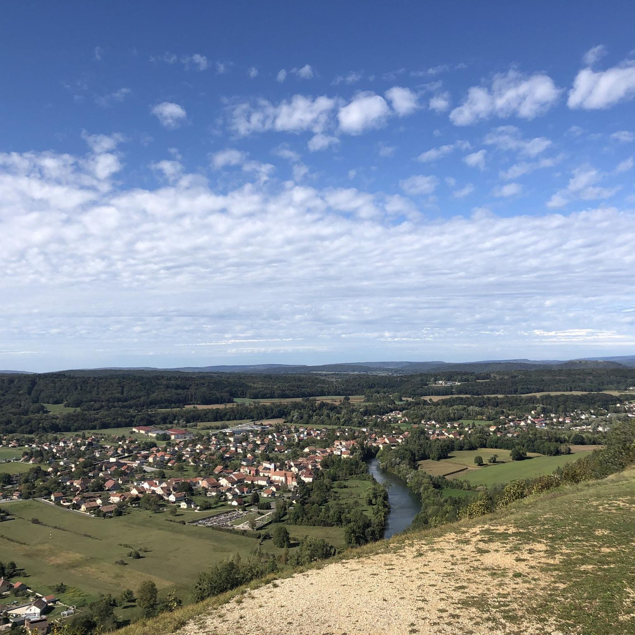
Panoramic view of Vandoncourt and the Pays de Montbéliard.
1
0
Frequently Asked Questions
How many hiking trails are available around Hérimoncourt?
There are over 160 hiking trails in the Hérimoncourt area, offering a wide range of experiences from easy strolls to more challenging routes through varied terrain. The local hiking association maintains approximately 150 km of marked footpaths.
Are there easy hiking options suitable for families or beginners in Hérimoncourt?
Yes, Hérimoncourt offers nearly 60 easy hiking routes, perfect for families or those seeking a relaxed walk. An example is the Abbévillers loop from Abbévillers, which is an easy 5 km path.
Are there any circular hiking routes in the Hérimoncourt region?
Many of the trails around Hérimoncourt are circular, allowing you to start and end at the same point. For instance, the Pont Sarrazin Natural Arch – Viewpoint of Vandoncourt loop from Vandoncourt is a moderate 8.3 km loop that takes you through scenic landscapes.
What natural attractions can I discover while hiking near Hérimoncourt?
The region boasts several unique natural features. You can visit the Fontaine de Roches, a picturesque tufa waterfall, or the Doue Spring, a refreshing resurgence at the base of a cliff. The Pont Sarrazin Natural Arch is another notable geological formation to explore.
Are there any trails that offer panoramic views?
Yes, several trails provide expansive views. Specific routes, like the 'Demi-circuit d'Hérimoncourt bas' mentioned in regional research, lead to viewpoints such as the Grammont belvedere, offering panoramic vistas over the Hérimoncourt valley, the Pays de Montbéliard, and even the Swiss plateau.
What is the best time of year to go hiking in Hérimoncourt?
Hérimoncourt offers enjoyable hiking throughout much of the year. Spring and autumn provide pleasant temperatures and beautiful scenery with blooming flowers or vibrant foliage. Summer is also popular, especially for shaded forest walks, while some trails may be accessible for winter hikes, depending on snow conditions.
Are dogs allowed on the hiking trails in Hérimoncourt?
Generally, dogs are welcome on most hiking trails in the Hérimoncourt area. However, it's always recommended to keep them on a leash, especially in nature reserves, agricultural areas, or when passing through villages, to ensure the safety and comfort of other hikers and local wildlife.
What do other hikers enjoy most about the trails in Hérimoncourt?
The trails around Hérimoncourt are highly rated by the komoot community, with an average score of 4.5 stars from over 280 reviews. Hikers often praise the diverse landscapes, including dense forests and river valleys, as well as the well-maintained paths and the unique natural features like waterfalls and springs.
Are there any historical or cultural points of interest along the hiking routes?
While primarily known for its natural beauty, Hérimoncourt's trails may pass by elements of local heritage. These can include old boundary markers, the historic 'Immeuble de la Bastille' reflecting 19th-century workers' housing, and glimpses into the area's industrial past tied to figures like Jean-Pierre Peugeot.
Is it possible to access hiking trailheads using public transport in Hérimoncourt?
While specific public transport connections to all trailheads might be limited, the region is generally accessible. It's advisable to check local bus schedules or regional transport options to reach villages like Abbévillers or Seloncourt, which serve as starting points for several popular routes.
Are there any cafes or places to eat near the hiking trails in Hérimoncourt?
Hérimoncourt and its surrounding villages offer local amenities where you can find cafes or small eateries. It's a good idea to plan your route in advance and check for establishments in the villages you'll pass through or at your starting/ending points.
What is the elevation range for hikes in Hérimoncourt?
The altitude in the Hérimoncourt area ranges from approximately 350m to 578m. This varied elevation contributes to diverse hiking experiences, from relatively flat valley walks to routes with more significant climbs and descents.
Most popular routes around Hérimoncourt
Most popular attractions around Hérimoncourt

Get inspired with the komoot mobile app


Explore more
Browse the best Hikes in other regions.
