The best mountain hikes in Palencia
5.0
(1)
44
hikers
3
hikes
Mountaineering in Palencia offers diverse routes through the mountainous landscapes of Castile and León. The region is characterized by its prominent peaks, deep valleys, and high-altitude terrain, providing varied challenges for mountaineers. These routes often feature significant elevation gains and panoramic views of the surrounding natural environment. The area's geology supports a range of mountaineering experiences, from challenging ascents to more moderate trails.
Best mountaineering routes in Palencia
- The most popular mountaineering route is Peña Prieta (2,538 m) loop from…
Last updated: July 1, 2026
9
hikers
8.94km
03:11
520m
530m
Moderate mountaineering route. Good fitness required. Easily-accessible paths. Suitable for all skill levels.
4
hikers
10.4km
05:57
1,080m
1,080m
Hard mountaineering route. Very good fitness required. Sure-footedness, sturdy shoes and alpine experience required.

Sign up for free
5
hikers
11.8km
03:39
430m
430m
Moderate mountaineering route. Good fitness required. Easily-accessible paths. Suitable for all skill levels.
Our route recommendations are based on thousands of hikes, rides, and runs completed by other people on komoot.
Start today with a free account
Your next adventure awaits.
Login or Signup
Popular around Palencia

Mountain Hikes in Fuentes Carrionas Y Fuente Cobre - Montaña Palentina

Mountain Hikes around National Park Fuentes Carrionas y Fuente Cobre-Montaña Palentina

Mountain Hikes around Cervera
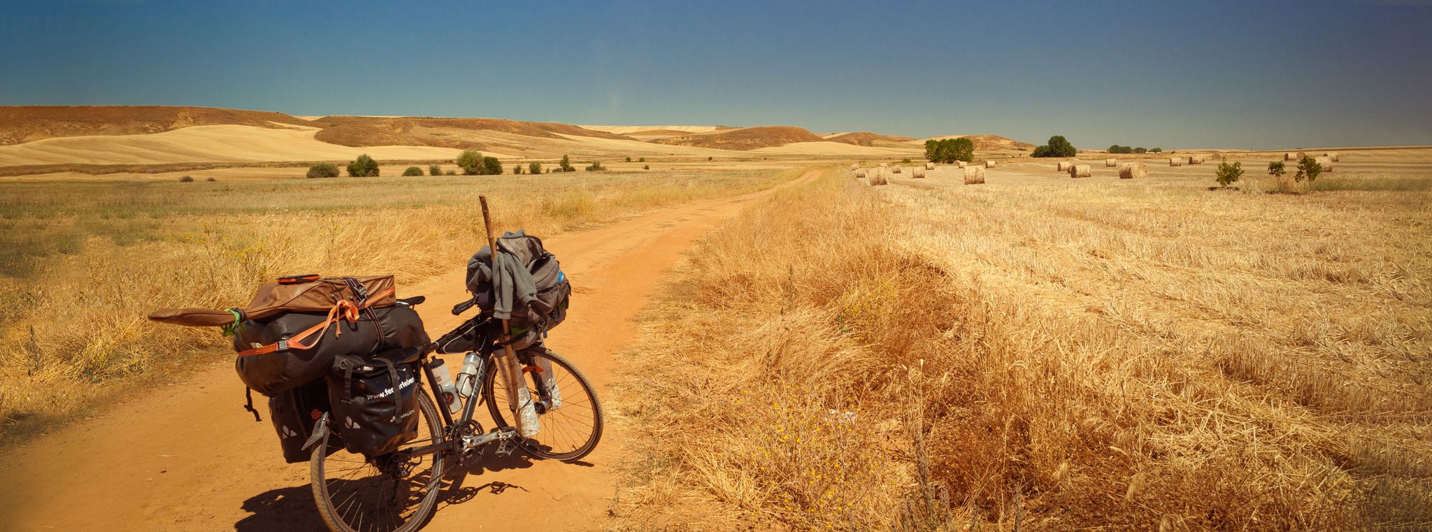
Camino Francés and Camino Finisterre – Cycling pilgrimages in Spain
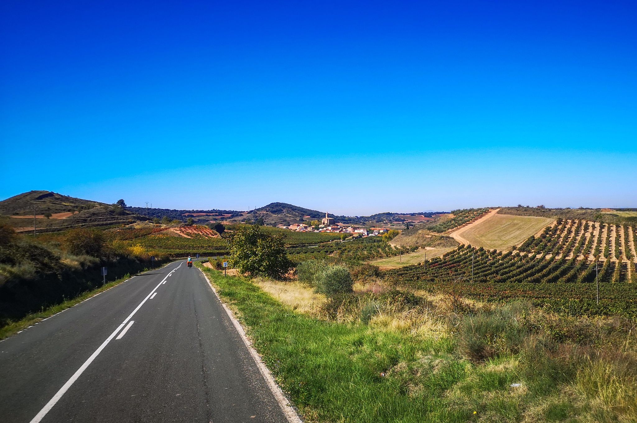
Santiago de Compostela – A journey through northern Spain (10 days)
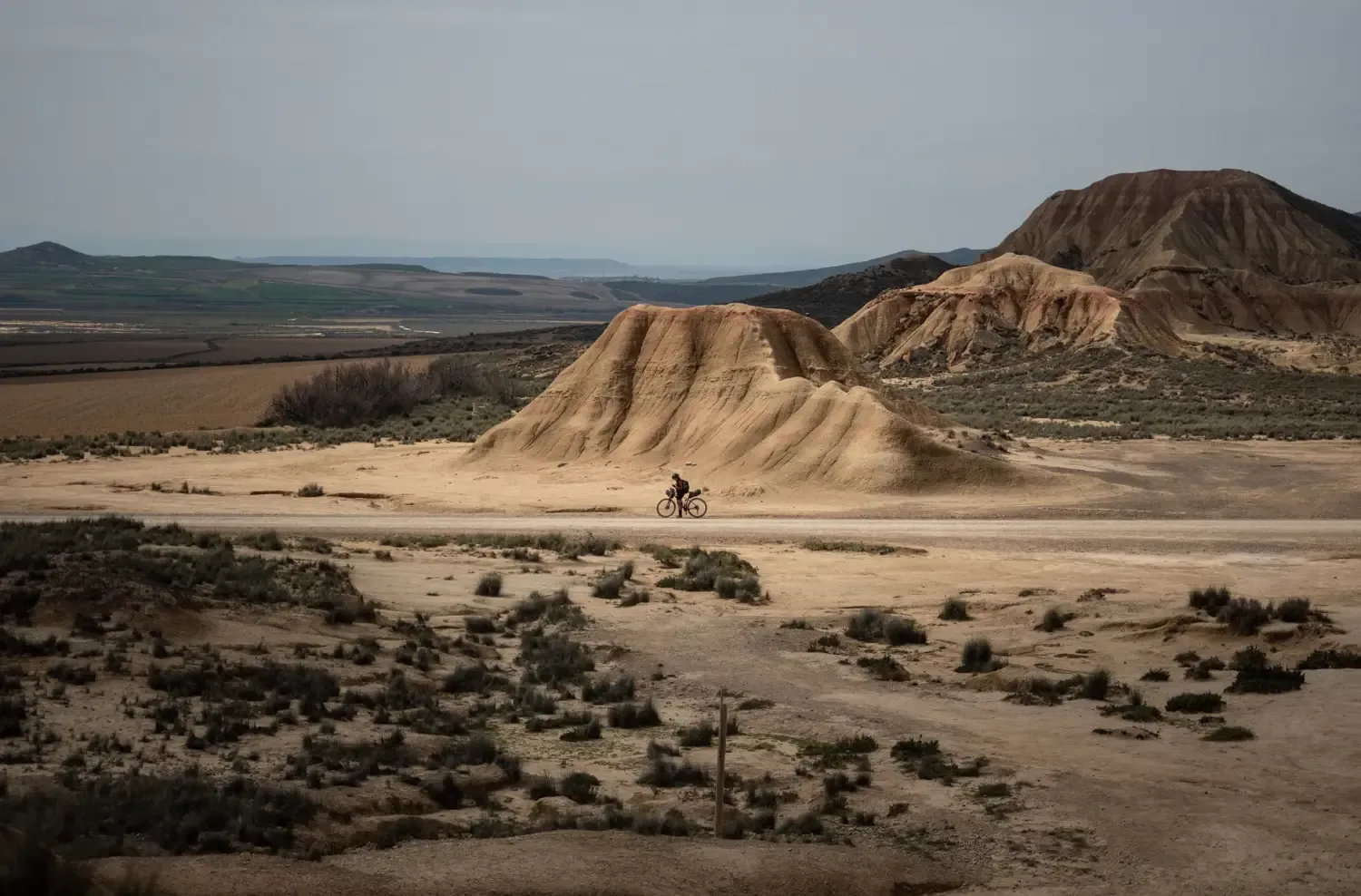
9 mountain biking routes in undiscovered Spain

TransCantabrica – Extreme mountain biking in northern Spain
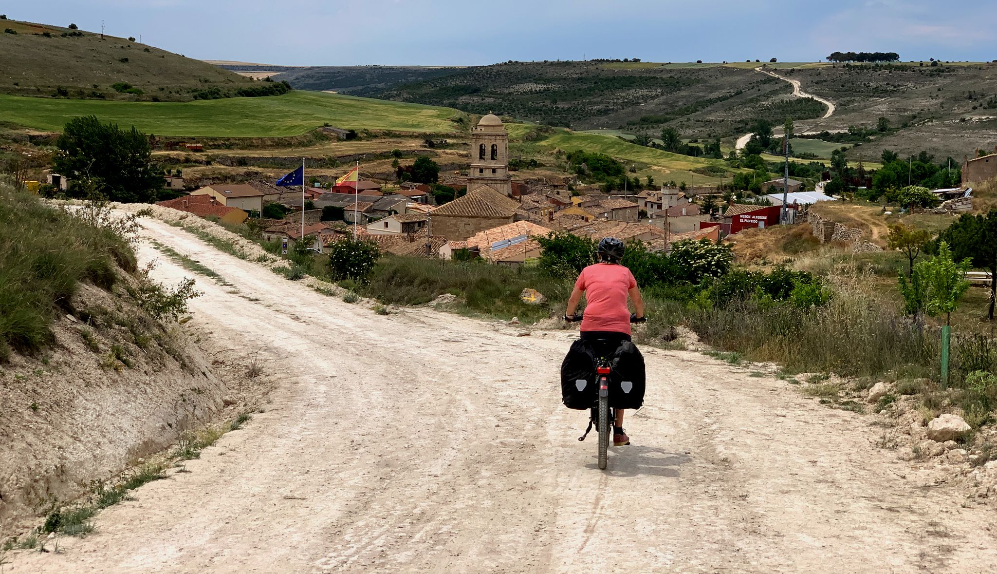
The Pilgrim Route — EuroVelo 3 through Spain
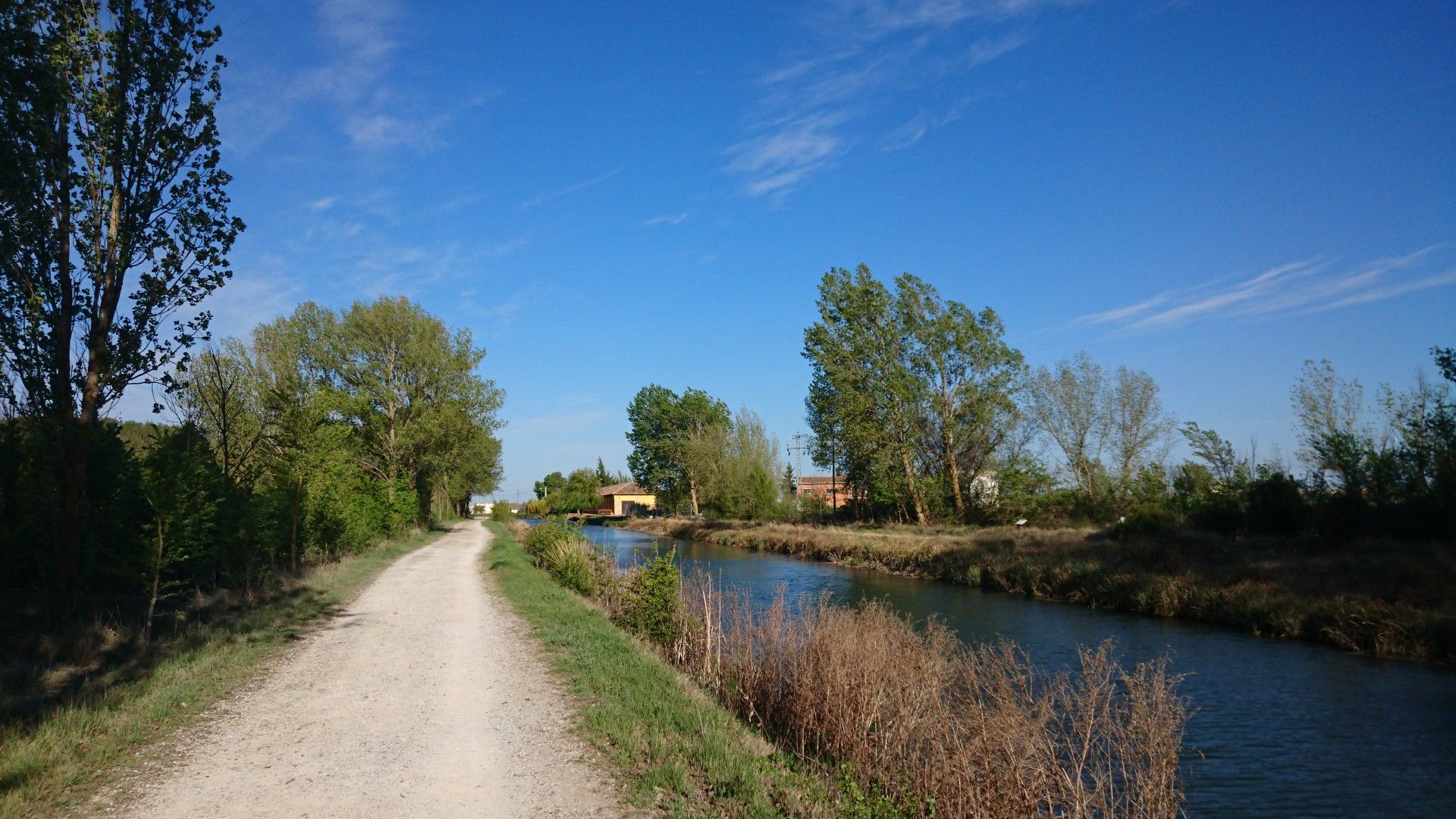
The history of civil engineering — the Castille Canal by bike
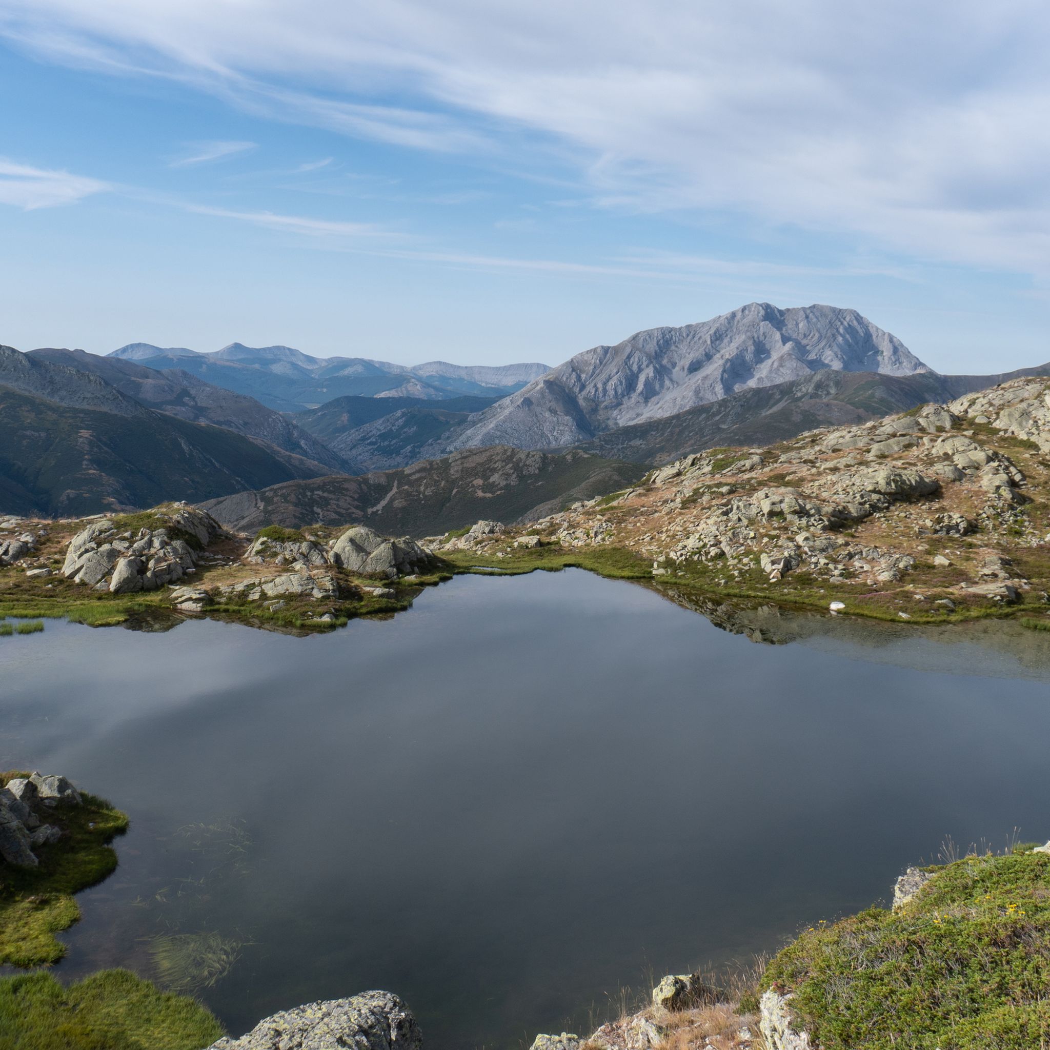
Hiking in Palencia
Other adventures in Palencia


Tips from the Community

A varied tour with a box seat view of the southern Picos in Spain: This circular hike does not run through the Picos de Europa itself, but it has everything that makes a hiker's heart beat faster in Cantabria: Comfortable, wide paths alternate with short, steep climbs on narrow paths, sometimes it goes through sparse forests, sometimes the eye can hardly get enough of the views. The whole thing is spiced up with two small ponds that invite you to have a picnic along the way, a small, Stone Age megalithic tomb and the (albeit barely visible) remains of an Iron Age settlement. The brilliant highlight of the tour is the Pico Jano. From the almost 1,500 m high summit and the subsequent short ridge hike, you can look out over the entire south side of the Picos de Europa, the Liébana valley and to the south over the Cantabrian divide as if from a box seat.
2
0

It is a very beautiful trail that goes from the Pinollano parking lot to La Cascada del Mazobre. It is a popular hike and not too difficult for biking.
0
0

The route is quite difficult and without major highlights along the way. It's steep up and steep down again. A good level of fitness is important. The grandiose view from the summit then compensates for the exertion. ☺️
0
0

Palencia summit located in the town of Cardaño de Abajo which can be ascended by several routes, although several of them present a fairly high technical difficulty.
1
1

At 1446 meters above sea level, the peak of El Pico Jano is the highest in the Sierra de Collaín and you will feel that you are touching the clouds, or failing that, you will be above them! As there are no obstacles ahead, the views are truly amazing and will invite you to stay there for a few minutes enjoying this beautiful landscape of the Cantabrian mountain range.
1
0
Very picturesque path with beautiful views that runs through the Castro de la Tejera and allows you to reach Pico Jano.
2
0

The path that runs from Pinollano to La Cascada de Mazobre is 3 km of good track.
1
0
Climbing the east ridge is very demanding. Going down the north slope requires a lot of attention to avoid falls.
1
0
Frequently Asked Questions
What is the general difficulty level of mountaineering routes in Palencia?
Mountaineering in Palencia primarily offers challenging routes. Out of the five available routes, four are classified as difficult, and one is moderate. This region is known for its significant elevation gains and rugged terrain, making it suitable for experienced mountaineers.
Are there any moderate mountaineering routes in Palencia suitable for those looking for a less strenuous challenge?
Yes, for those seeking a moderate challenge, the Embalse de la Tejera – Pico Jano loop from Pico Jano is a great option. This 5.7-mile (9.1 km) trail leads through a scenic reservoir area and up to Pico Jano, typically completed in about 3 hours 14 minutes.
What kind of terrain can I expect on mountaineering routes in Palencia?
The mountaineering routes in Palencia are characterized by high mountain peaks, rugged valleys, and diverse high-altitude landscapes. You can expect significant elevation gains, offering varied challenges and panoramic views of the surrounding natural environment.
Are there circular mountaineering routes available in Palencia?
Yes, many of the mountaineering routes in Palencia are circular. Examples include the challenging Peña Prieta (2,538 m) loop from Cardaño de Arriba, the Diente del Oso – Curavacas loop from Vidrieros, and the moderate Embalse de la Tejera – Pico Jano loop from Pico Jano.
Which routes offer the most expansive views of the Palencia mountains?
Routes like the Peña Prieta (2,538 m) loop from Cardaño de Arriba and the Diente del Oso – Curavacas loop from Vidrieros involve climbing notable peaks and are renowned for offering expansive, panoramic views of the Cantabrian Mountains and the Palencia region.
Can I find long-distance mountaineering trails in Palencia?
While Palencia offers several challenging routes, the longest listed mountaineering trail is the Peña Prieta (2,538 m) loop from Cardaño de Arriba, which spans 10.6 miles (17.0 km) and typically takes over 7 hours to complete. This route features a significant ascent to one of the highest peaks in the Cantabrian Mountains.
What is the best time of year to go mountaineering in Palencia?
The best time for mountaineering in Palencia is generally from late spring to early autumn (May to October) when the weather is more stable, and snow has receded from higher elevations. Always check local weather forecasts and trail conditions before heading out.
Are there specific considerations for winter mountaineering in Palencia?
Winter mountaineering in Palencia's high-altitude terrain can be demanding, with snow, ice, and rapidly changing weather conditions. It requires specialized equipment such as crampons, ice axes, and avalanche safety gear, as well as advanced skills and experience. It's advisable to consult local mountain guides or experienced mountaineers for current conditions and advice.
How can I access the trailheads for mountaineering routes in Palencia?
Access to trailheads often involves driving to mountain villages or designated parking areas. For example, the Espigüete loop starts from Parking Pinollano, and the Cueva del Cobre loop begins from Parking Cueva del Cobre. Public transport options to these remote areas may be limited, so planning for private vehicle access is often necessary.
Are there any waterfalls or natural attractions to see along the mountaineering routes in Palencia?
While specific waterfalls may not be directly on every mountaineering route, the Palencia region is home to beautiful natural attractions. You can explore nearby waterfalls such as Mazobre Waterfall, Covalagua Waterfall, and Pozo Merino Waterfall, which are often accessible via separate hikes or detours.
What do other mountaineers enjoy the most about mountaineering in Palencia?
The area is highly rated by the komoot community, with an average score of 5.0 stars. Reviewers often praise the challenging ascents, the sense of accomplishment from reaching prominent peaks, and the stunning panoramic views of the rugged Cantabrian Mountains.
Are the mountaineering routes in Palencia suitable for families with children?
Given that most mountaineering routes in Palencia are classified as difficult, and even the moderate ones involve significant elevation, they are generally not recommended for young children or families seeking easy, leisurely hikes. These routes are better suited for experienced individuals or families with older, fit teenagers accustomed to strenuous mountain terrain.
Can I bring my dog on mountaineering routes in Palencia?
While many natural areas in Spain are dog-friendly, specific regulations can vary by national park or protected area. It's always best to check local signage or the official website of the natural park you plan to visit for rules regarding dogs, especially on high-altitude or protected trails, to ensure a safe and compliant experience for both you and your pet.
Most popular routes in Palencia
Most popular attractions in Palencia

Get inspired with the komoot mobile app


Didn’t find what you were looking for?
Check out more Mountain Hikes & Routes throughout Palencia below and find the perfect route in your destination.
Explore more
Browse the best Mountain Hikes & Routes in other regions.
