The best road cycling routes around Saint-Beauzire
4.7
(84)
2,447
riders
213
rides
Road cycling routes around Saint-Beauzire, located in the Puy-de-Dôme department, traverse a diverse "middle mountain" terrain. This region features volcanic landscapes, dense forests, and picturesque valleys, offering a varied experience for cyclists. Routes often include challenging ascents and descents across the Chaîne des Puys, a UNESCO World Heritage site, and through areas with mountain passes. The terrain provides a mix of well-paved surfaces and more demanding segments, catering to different endurance levels.
Best road cycling routes around Saint-Beauzire
- The most…
Last updated: June 29, 2026
5.0
(2)
28
riders
42.6km
02:07
620m
620m
Moderate road ride. Good fitness required. Mostly well-paved surfaces and easy to ride.
27
riders
74.0km
03:36
1,090m
1,090m
Hard road ride. Very good fitness required. Mostly well-paved surfaces and easy to ride.

Sign up for free
20
riders
90.2km
04:35
1,560m
1,560m
Hard road ride. Very good fitness required. Mostly well-paved surfaces and easy to ride.
5.0
(1)
17
riders
43.7km
02:12
730m
730m
Moderate road ride. Good fitness required. Mostly well-paved surfaces and easy to ride.
7
riders
52.9km
02:22
510m
510m
Moderate road ride. Good fitness required. Mostly well-paved surfaces and easy to ride.
Get access to more routes and recommendations from other explorers.
Sign up for free
Already have an account?
Our route recommendations are based on thousands of hikes, rides, and runs completed by other people on komoot.
Start today with a free account
Your next adventure awaits.
Login or Signup
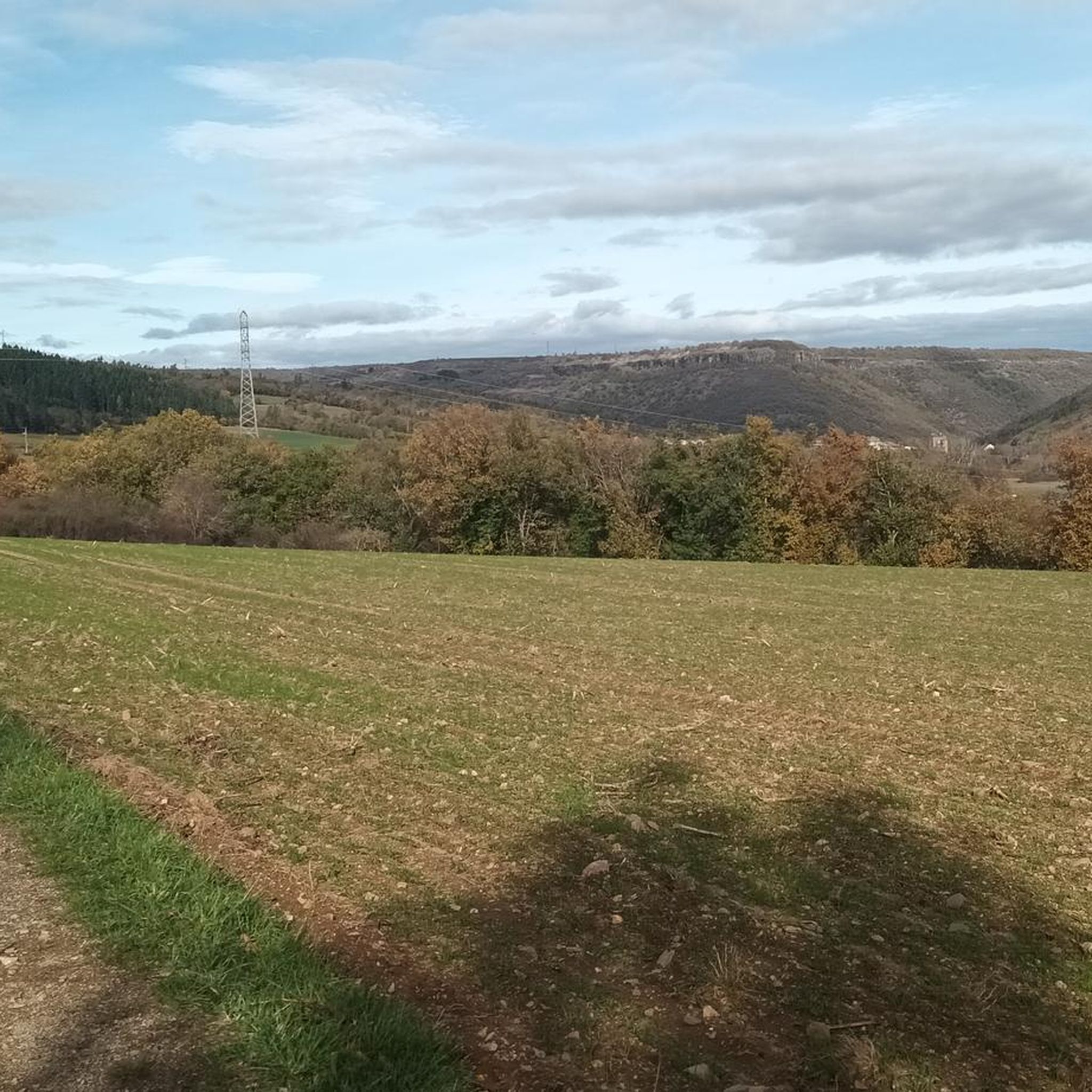
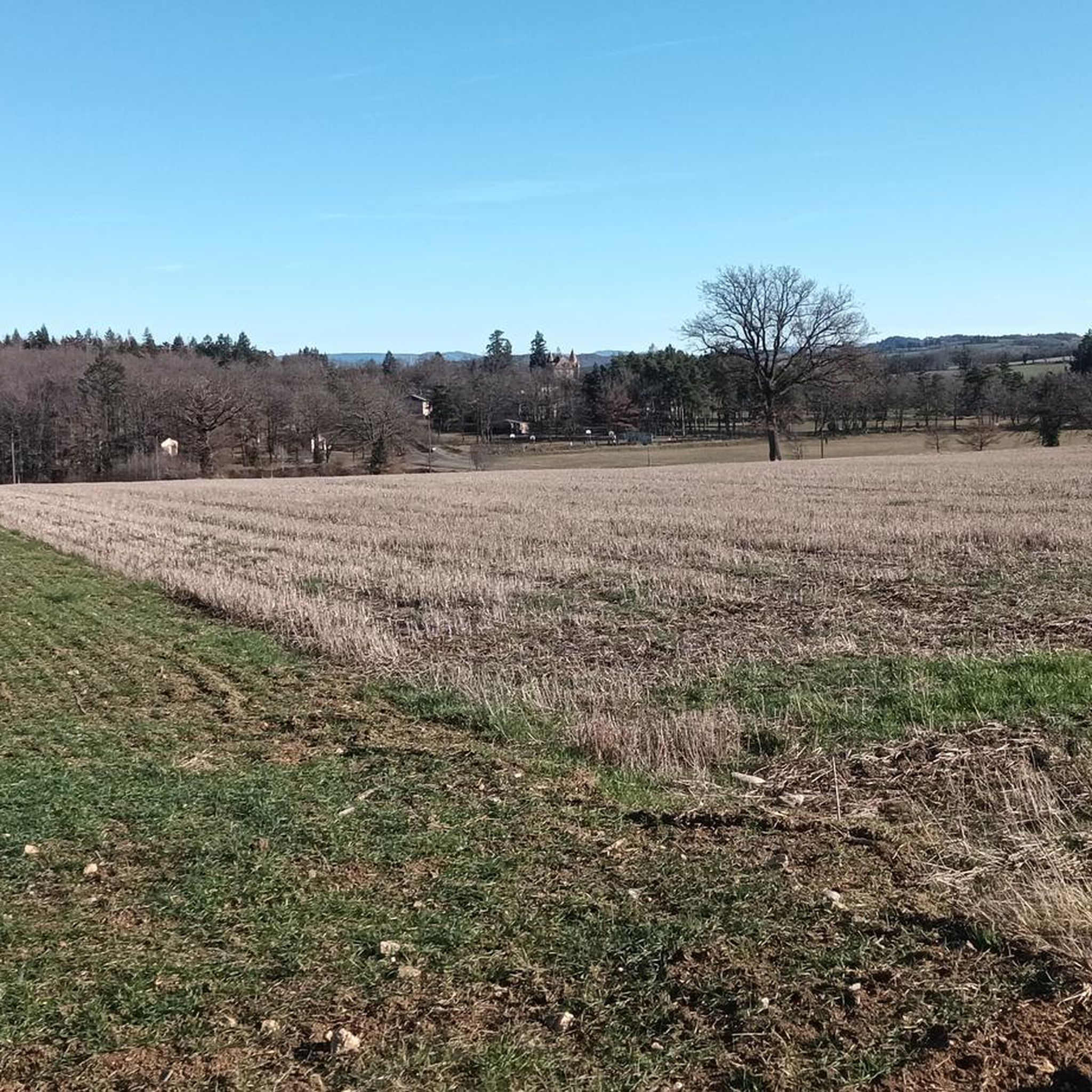
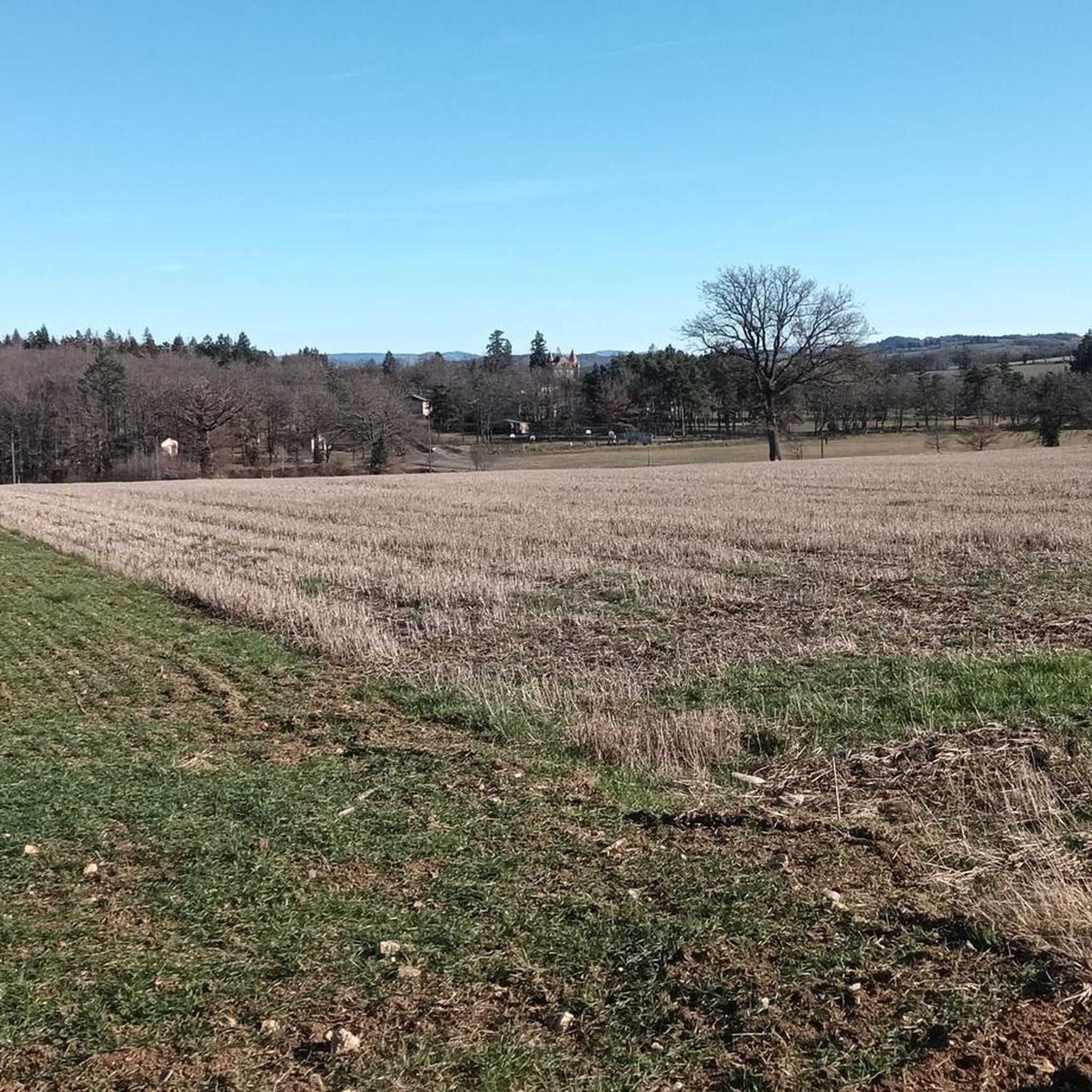


Tips from the Community

very pretty pass typical of Cezallier
1
0

Magnificent town in Haute-Loire with a picturesque historic town center.
0
0


Very beautiful little ruin well highlighted, there is an incredible view of the sunset and picnic tables next to the castle.
0
0

Beautiful castle. One of the emblematic sites of the Alagnon valley.
0
0

beautiful view of this fortified castle
0
0

Saving stop for a break at the water’s edge before the climb…
0
0
Frequently Asked Questions
What types of road cycling routes can I find around Saint-Beauzire?
The region around Saint-Beauzire offers a diverse "middle mountain" terrain, featuring volcanic landscapes, dense forests, and picturesque valleys. You'll find a mix of challenging ascents and descents across the Chaîne des Puys, a UNESCO World Heritage site, as well as routes through various mountain passes. The routes cater to different abilities, from moderate loops to more difficult climbs with significant elevation gain.
How many road cycling routes are available in the Saint-Beauzire area?
There are over 200 road cycling routes available around Saint-Beauzire. These include 14 easy routes, 118 moderate routes, and 84 difficult routes, ensuring options for all skill levels.
Are there any routes with notable elevation gains for experienced cyclists?
Yes, the volcanic terrain and mountain passes provide ample opportunities for challenging climbs. For instance, the Col de Vestizoux (1317 m) – View of Château de Léotoing loop from Lorlanges is a difficult 56.2-mile (90.5 km) trail that features over 1,500 meters of elevation gain. Another challenging option is the Entrance to Massiac loop from Lorlanges, a 46.0-mile (74.0 km) path with over 1,000 meters of elevation gain.
What kind of natural features and landmarks can I expect to see along the cycling routes?
Road cycling routes in this area often pass through the unique volcanic landscapes of the Chaîne des Puys. You can also expect to see stunning river gorges and valleys, such as those around the Gorges de la Sioule. For historical sights, routes may offer views of châteaux like Château de Léotoing or Château de Saint-Ilpize, and charming medieval villages like Blesle.
What do other cyclists say about the road cycling experience in Saint-Beauzire?
The road cycling routes around Saint-Beauzire are highly rated by the komoot community, with an average score of 4.7 stars from over 70 reviews. Cyclists often praise the varied terrain, from volcanic landscapes to picturesque valleys, and the mix of well-paved surfaces with more demanding segments.
Are there any family-friendly road cycling options near Saint-Beauzire?
While the region is known for its 'middle mountain' terrain, there are 14 easy routes available that might be suitable for families or those looking for a less strenuous ride. These routes typically feature less elevation gain and cover shorter distances, offering a gentler introduction to the area's scenic beauty.
What is the best time of year for road cycling in the Saint-Beauzire region?
The Auvergne-Rhône-Alpes region, including Saint-Beauzire, generally offers excellent cycling conditions from spring through autumn. The summer months provide warm weather, while spring and early autumn offer cooler temperatures and vibrant scenery, ideal for tackling the varied terrain and mountain passes.
Are there any circular road cycling routes that offer scenic views?
Yes, many routes are designed as loops, allowing you to start and finish in the same location while enjoying diverse scenery. For example, the moderate View of Château de Léotoing – View of Chateau Saint-Vincent loop from Lorlanges offers views of two historic châteaux over its 26.4 miles (42.6 km).
Where can I find parking for my car when starting a road cycling route?
While specific parking locations for each route are best checked on individual tour pages, Saint-Beauzire and surrounding villages typically offer public parking areas. It's advisable to look for parking in the starting village of your chosen route, such as Lorlanges, which is a common starting point for several popular tours.
Can I reach Saint-Beauzire or nearby starting points using public transport with my bike?
The feasibility of transporting bikes on public transport can vary by region and service. For detailed information on public transport options that accommodate bicycles to Saint-Beauzire or nearby towns in the Puy-de-Dôme department, it's recommended to consult the local transport authority websites or specific train/bus operators for their current policies and schedules.
Are there any specific regulations or permits required for road cycling in the Auvergne-Rhône-Alpes region?
Generally, no specific permits are required for road cycling on public roads in the Auvergne-Rhône-Alpes region. However, cyclists should always adhere to standard French traffic laws. If your route happens to pass through a protected natural area or private land, it's always wise to check for any specific local regulations or access restrictions, though this is less common for road cycling.
Are there any cafes or restaurants along the road cycling routes for a break?
Many road cycling routes in the Saint-Beauzire area pass through or near charming villages. These villages often have local cafes, bakeries, or restaurants where you can stop for refreshments, a meal, or to refill water bottles. Planning your route with komoot allows you to see points of interest and services along the way.
Most popular routes around Saint-Beauzire
Most popular attractions around Saint-Beauzire

Get inspired with the komoot mobile app


Explore more
Browse the best Road cycling routes in other regions.
