The best walks and hikes around Boô-Silhen
4.4
(1398)
11,496
hikers
279
hikes
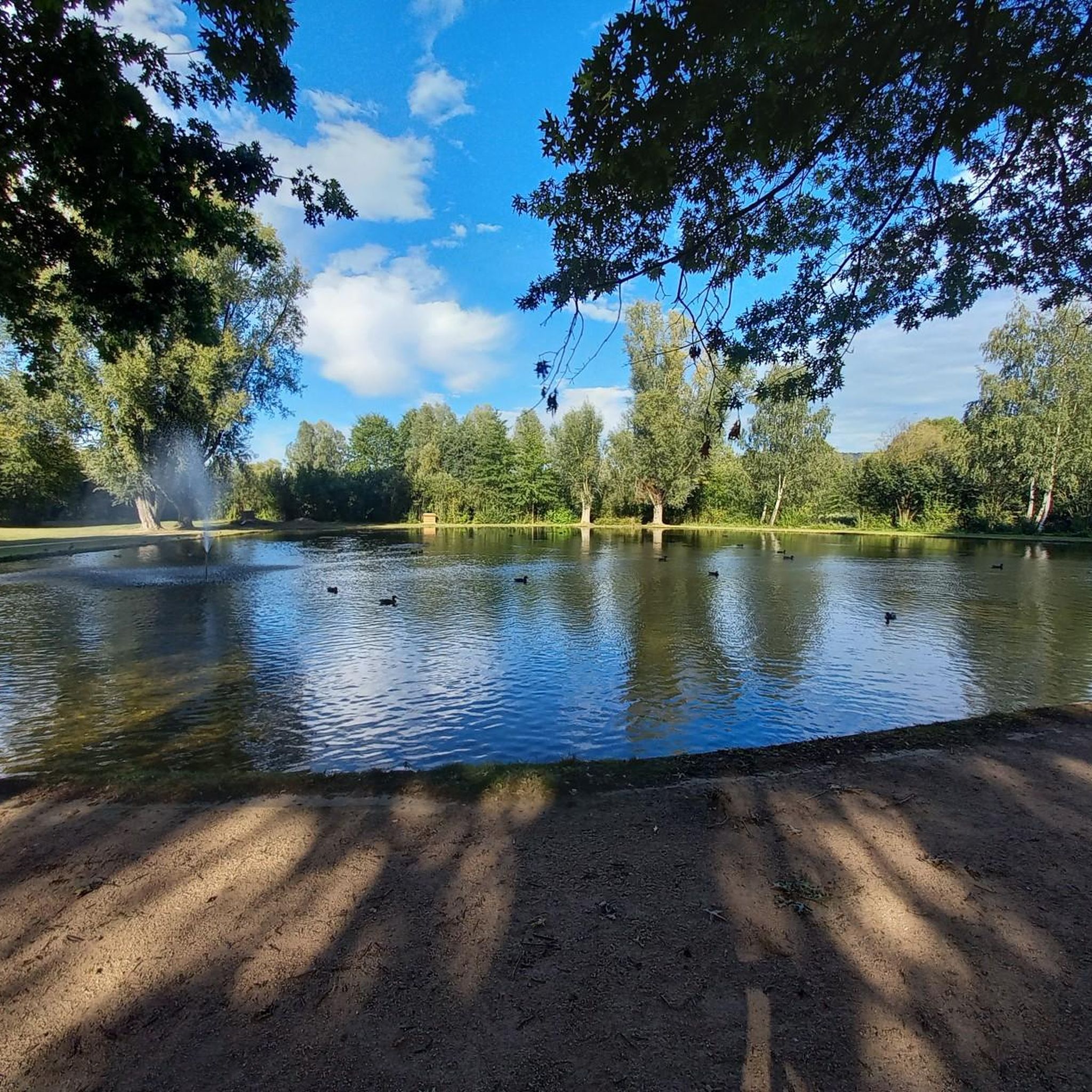
Hiking around Boô-Silhen offers diverse landscapes in the Hautes-Pyrénées department of France. The region is characterized by its position on the right bank of the Gave de Pau river, which forms its western boundary, and features varied altitudes ranging from approximately 399 to 599 meters. Wooded zones and the Étang de Boô-Silhen lake contribute to the natural environment. The area also benefits from its proximity to the Pyrenees National Park, providing access to significant mountain landscapes.
Best hiking trails around…
Last updated: August 28, 2026
4.8
(43)
303
hikers
13.7km
04:42
660m
660m
Moderate hike. Good fitness required. Mostly accessible paths. Sure-footedness required.
4.2
(30)
139
hikers
8.74km
02:36
250m
250m
Moderate hike. Good fitness required. Easily-accessible paths. Suitable for all skill levels.

Sign up for free
4.6
(19)
90
hikers
6.28km
01:48
90m
90m
Moderate hike. Great for any fitness level. Mostly accessible paths. Sure-footedness required.
4.3
(10)
65
hikers
6.37km
01:56
200m
200m
Moderate hike. Great for any fitness level. Mostly accessible paths. Sure-footedness required.
5.0
(1)
23
hikers
5.49km
01:24
20m
20m
Easy hike. Great for any fitness level. Easily-accessible paths. Suitable for all skill levels.
Get access to more routes and recommendations from other explorers.
Sign up for free
Already have an account?
Our route recommendations are based on thousands of hikes, rides, and runs completed by other people on komoot.
Start today with a free account
Your next adventure awaits.
Login or Signup
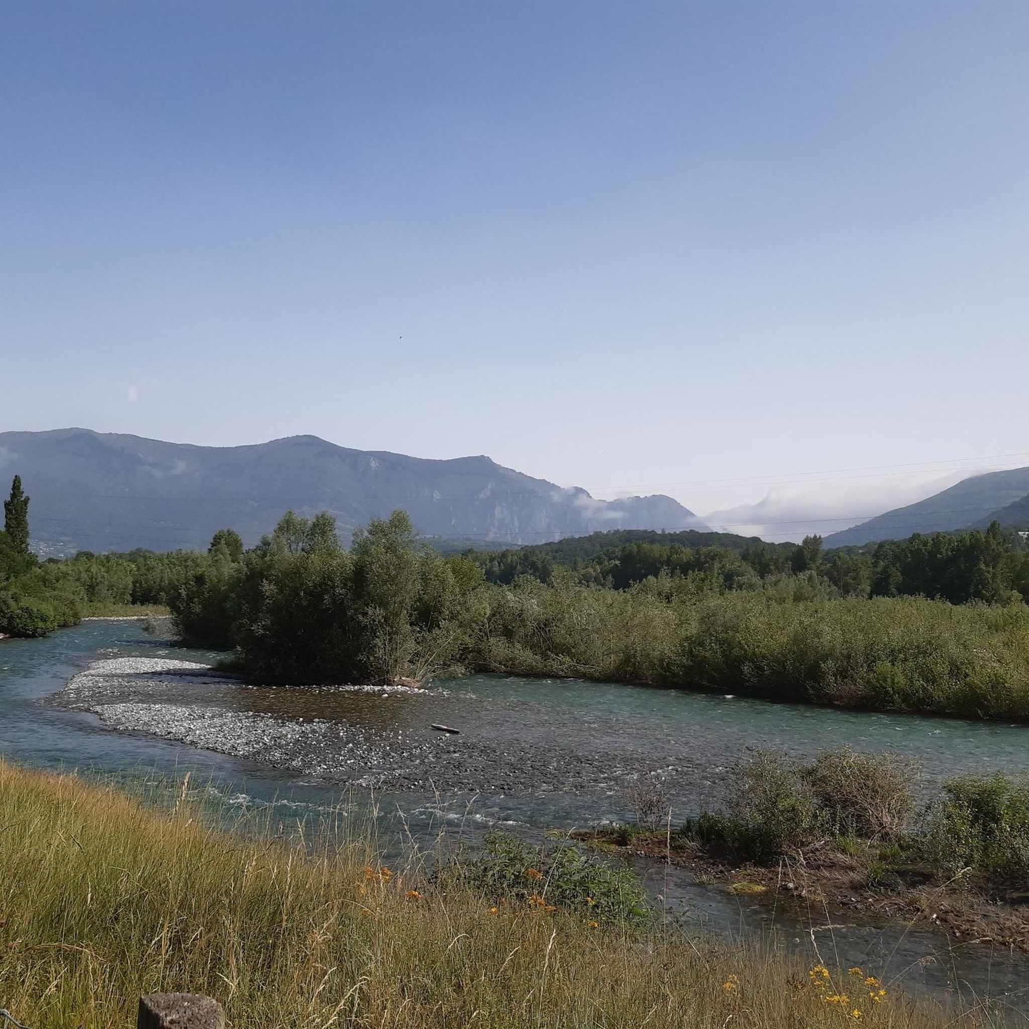
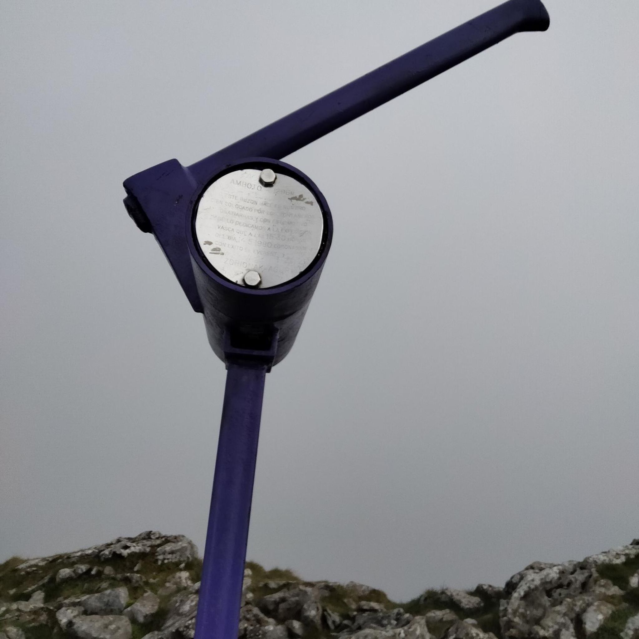
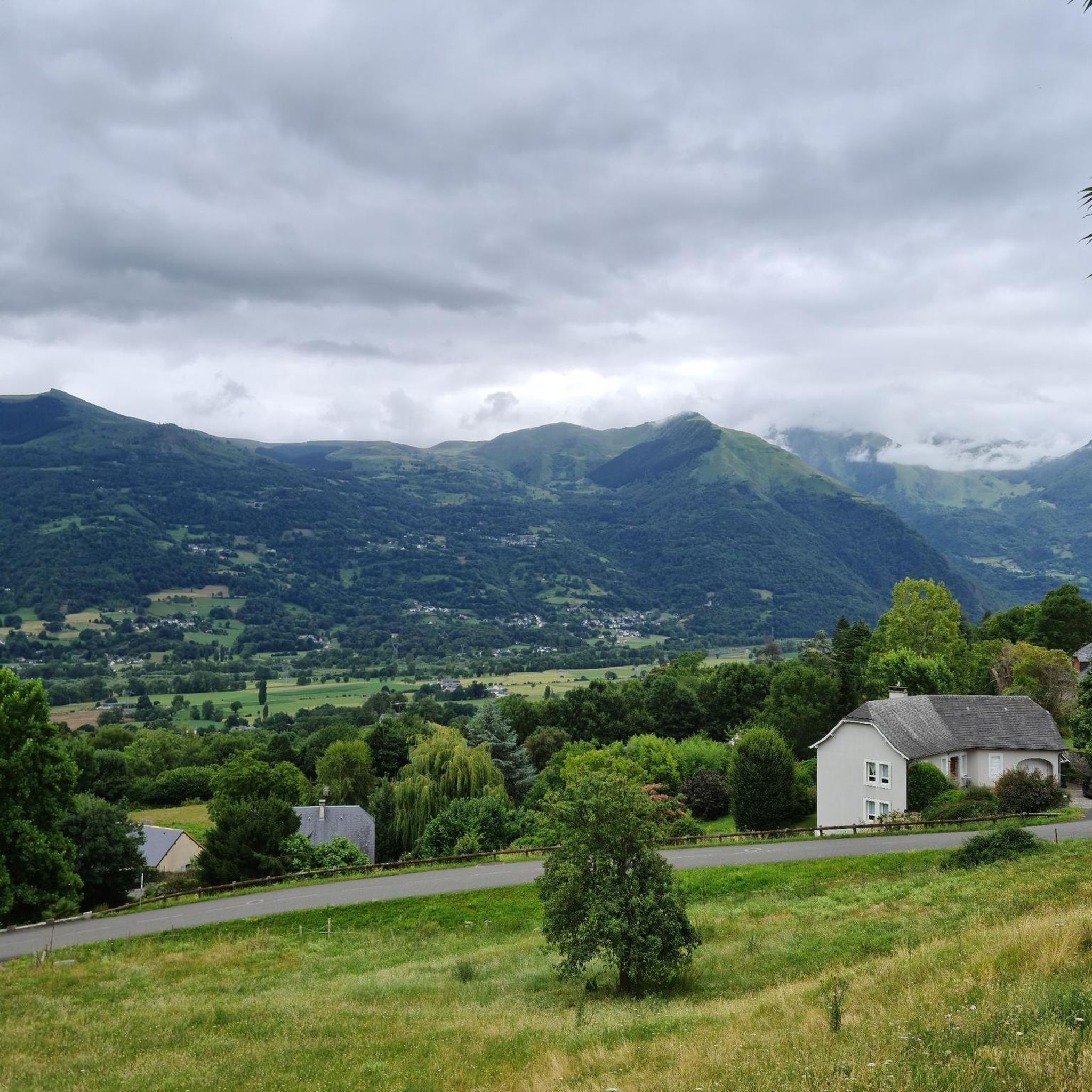
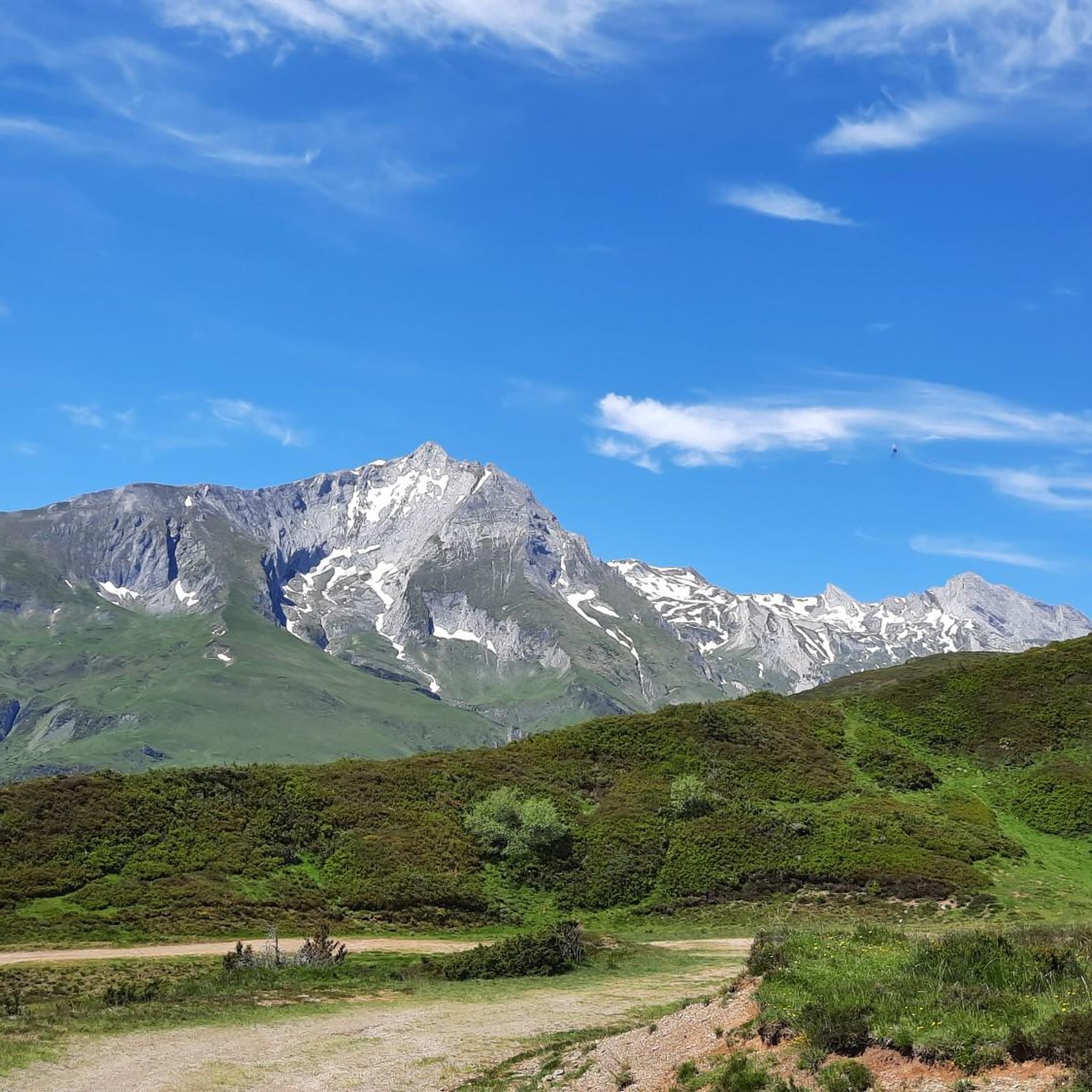

Tips from the Community

Cafes, bakeries and bars but also a public toilet and drinking water tap (at the back of the church). The climb to the Azun Valley, Soulor, Aubisque starts here.
0
0


Nice bridge with a beautiful view, the river is very nice too!
0
0

beautiful walking path along the river Gave between Adast and Lau Balagnas.
1
0
beautiful and shady walking path along the gift d'azun.
1
0
viewpoint over the valley of the gift de pau.
1
0


Beautiful Bahntrassenradweg, beautiful bridge.
3
0
Frequently Asked Questions
How many hiking trails are available around Boô-Silhen?
Boô-Silhen offers a wide variety of hiking experiences, with over 250 routes available. These range from easy riverside strolls to challenging mountain ascents, catering to all fitness levels.
What kind of terrain can I expect on hikes in Boô-Silhen?
The terrain around Boô-Silhen is quite diverse, situated on the right bank of the Gave de Pau river. You'll find a mix of mountain foothills, wooded areas, and serene lakes. Altitudes vary from approximately 399 to 599 meters, offering everything from gentle riverside paths to more significant climbs towards peaks like Pibeste.
Are there easy walks suitable for beginners or casual hikers?
Yes, Boô-Silhen has many accessible paths perfect for beginners or those looking for a relaxed walk. For example, the Banks of the Gave River loop from Lau-Balagnas is an easy 5.7 km trail that follows pleasant riverside paths, typically taking about 1 hour 26 minutes to complete.
Are there challenging hikes for experienced trekkers?
Absolutely. For experienced hikers seeking a challenge, the Pibeste Peak – Pibeste Summit Station loop from Agos-Vidalos is a difficult 14.5 km route. It features a significant elevation gain of over 970 meters to Pic du Pibeste, requiring very good fitness and sure-footedness.
Can I find trails with good viewpoints or natural features?
Boô-Silhen is rich in natural beauty and viewpoints. Many trails offer stunning views of the surrounding Pyrenean foothills and the Gave de Pau river. You can also explore areas near the picturesque Lac Bleu and Lac Vert, or hike towards prominent summits like Pibeste Peak and Mount de Gez, which provide expansive panoramas.
Are there any circular hiking routes in Boô-Silhen?
Yes, many of the trails in Boô-Silhen are designed as circular routes, allowing you to start and end at the same point. A popular moderate option is the L'Arrieulat River – Castet loop from Argelès-Gazost, a 9.0 km path offering views of the river and countryside.
What do other hikers say about the trails in Boô-Silhen?
The hiking trails in Boô-Silhen are highly regarded by the komoot community, with an average rating of 4.4 stars from over 1,100 reviews. Hikers often praise the varied terrain, the beauty of the riverside paths, and the access to stunning Pyrenean landscapes.
Are there family-friendly hiking options in the area?
Yes, Boô-Silhen offers several family-friendly options, particularly the easier riverside paths which are generally flat and accessible. The Banks of the Gave River loop from Lau-Balagnas is a great choice for families, providing a gentle walk along the water.
Are dogs allowed on the hiking trails in Boô-Silhen?
Many trails in the Boô-Silhen area are dog-friendly, especially those outside the core protected areas of the Pyrénées National Park. It's always advisable to keep dogs on a leash, particularly in areas with livestock or wildlife, and to check specific trail regulations if entering national park zones.
What are some moderate hiking options in Boô-Silhen?
For a moderate challenge, consider the Les pierres perchées – Vue sur la vallée loop from Argelès-Gazost. This 6.3 km route involves some elevation gain, offering rewarding views over the valley and a good balance of effort and scenic beauty.
Are there any historical or cultural landmarks near the trails?
While hiking, you'll be close to significant landmarks. The town of Lourdes, with its famous sanctuary estate and the Sanctuary of Our Lady of Lourdes, is a short distance away. Some trails also offer views towards Pic du Jer, which has a funicular offering panoramic views.
Most popular routes around Boô-Silhen
Most popular attractions around Boô-Silhen

Get inspired with the komoot mobile app


Explore more
Browse the best Hikes in other regions.
