The 8 Most Amazing Peaks around Germs-Sur-L'Oussouet
Mountain peaks around Germs-Sur-L'Oussouet are situated in the Hautes-Pyrénées department of France, offering varied terrain for hikers. The area features summits that provide panoramic views of the Adour plain, nearby cities, and the Pyrenean chain. This region is characterized by its natural landscapes and diverse elevation profiles.
Best mountain peaks around Germs-Sur-L'Oussouet
- The most popular mountain peaks is Pibeste Peak, a summit that culminates at 1,349 meters above sea level. Its location provides a panorama of the Pyrenees and…
Last updated: July 1, 2026
Pibeste Peak
Highlight • Summit
Translated by Google •
Tip by

Pic du Jer
Highlight • Summit
Translated by Google •
Tip by

Sign up now to discover places like this
Get recommendations on the best single tracks, peaks, & plenty of other exciting outdoor places.
Sign up for free
Hautacam
Highlight • Summit
Translated by Google •
Tip by
View from the Summit of Béout
Highlight • Summit
Translated by Google •
Tip by
Alian Peak
Highlight • Summit
Translated by Google •
Tip by
Sign up for free to discover even more peaks around Germs-Sur-L'Oussouet.
Sign up for free
Already have an account?
Start today with a free account
Your next adventure awaits.
Login or Signup
Popular around Germs-Sur-L'Oussouet
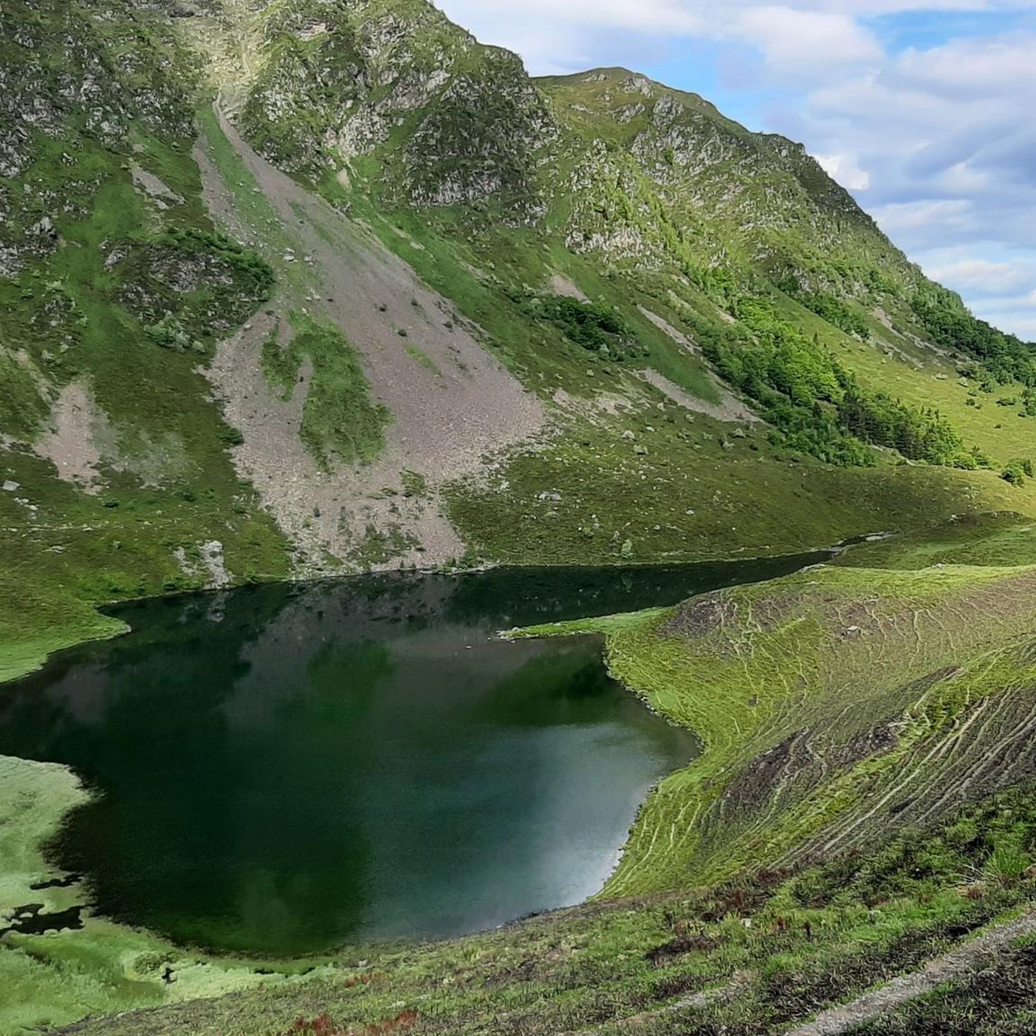
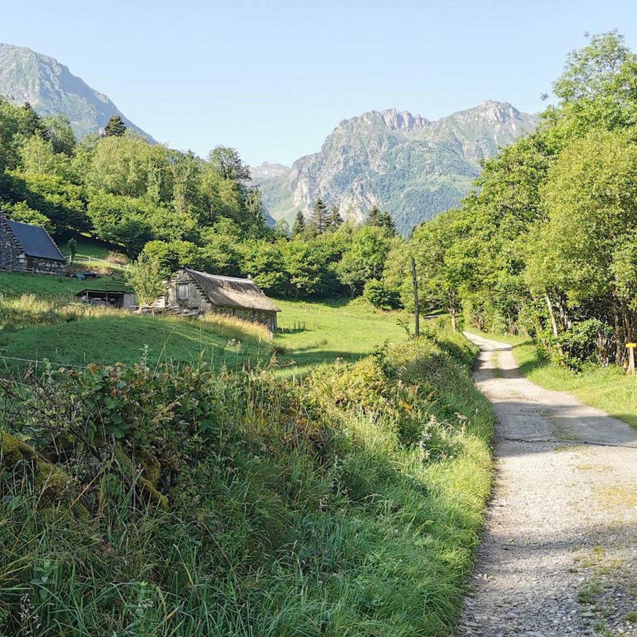
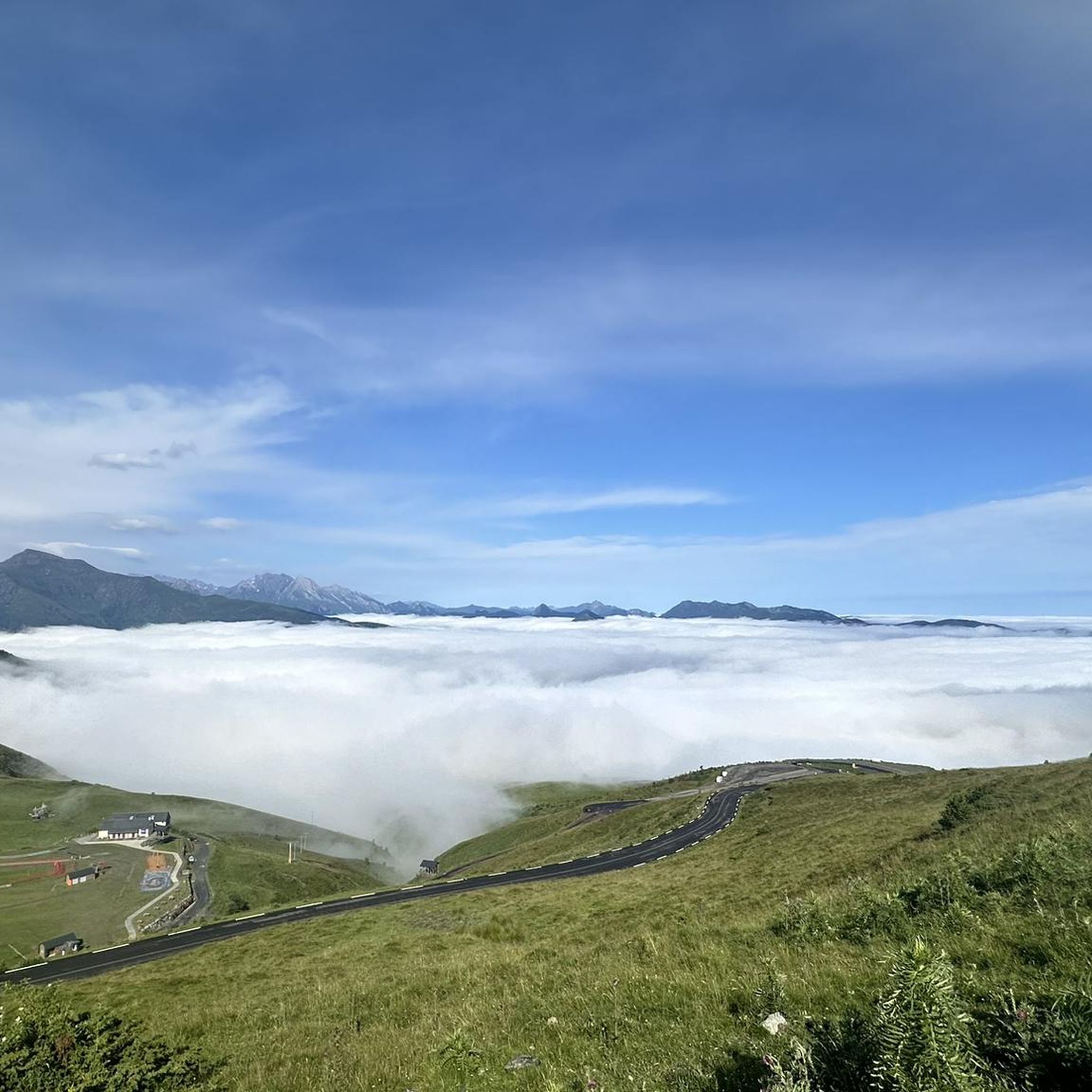
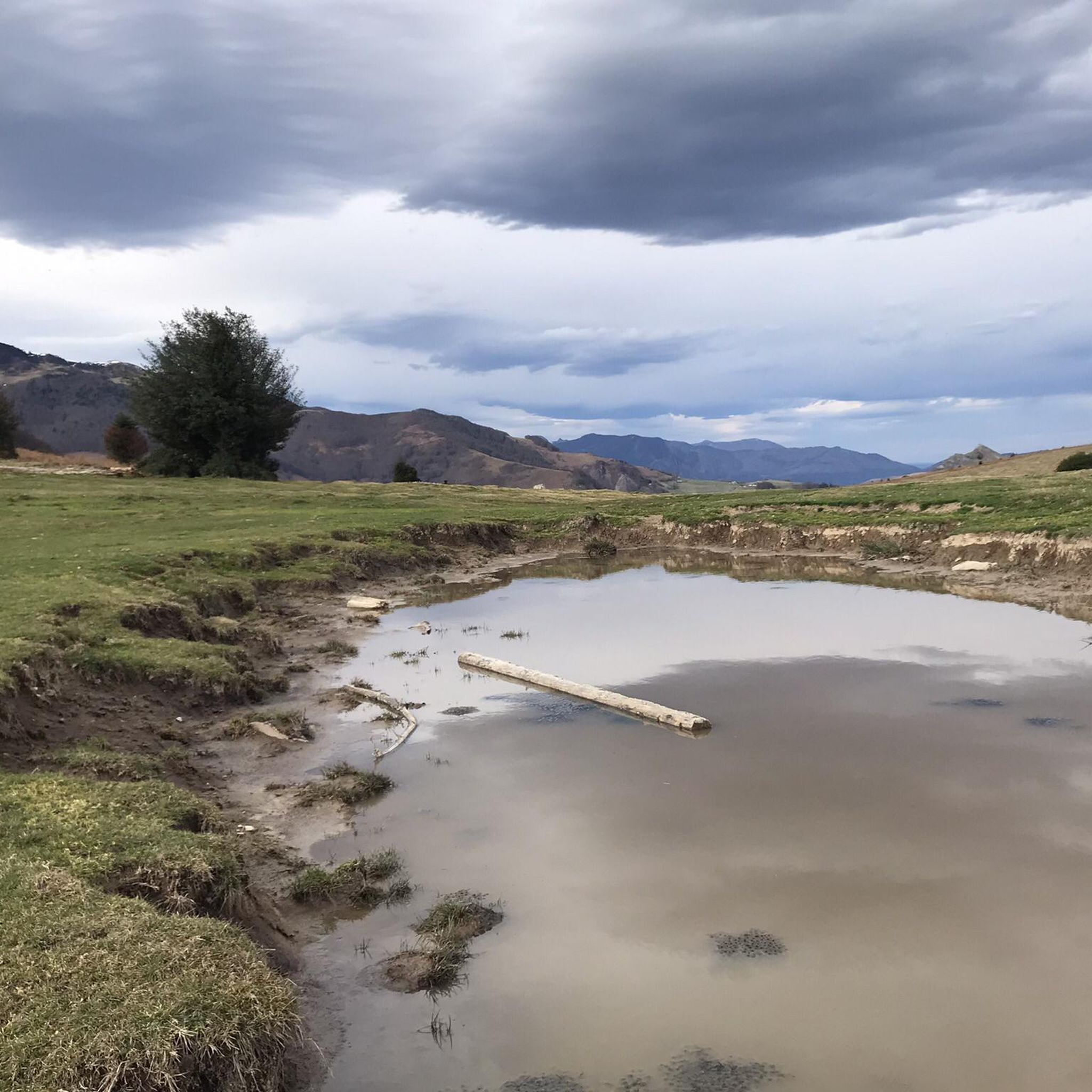



Tips from the Community

For your information, historically this was the arrival station for the cable car. It operated until the installation of the television and radio relay. After a storm, it's not uncommon for the relay to go into standby mode. TDF has a contract that runs from Monday to Friday. In case of a power outage, the weekend is reserved for reading or playing board games.
0
0

nice relaxing hike (down the mountain) not far from Lourdes
0
0
hike to do in dry weather, with a magnificent view of the Pic du Jer at the summit
0
0


The Jer peak peaks at 948 meters, overlooking the emblematic city of Lourdes. Also accessible by funicular, it offers a superb view of the city and its valley.
1
0

Magnificent view over the plain and the Gaves valley. On the other hand, it is not an old luxury hotel at the top, but the old cable car station. There is indeed a project to transform it into a shelter, but the funding is not forthcoming.
1
0

Magnificent viewpoint once at the top but DO NOT take the route that leaves from Parking Boissarie!! From the old cable car down to the river the hiking trail no longer exists. No choice but to go down but in the middle of brambles, nettles and a few slips. As the old hiking trail is no longer maintained, it has become dangerous. With the "good" surprise of coming face to face with hunters...
2
0
This is BY FAR the WORST route I have ever walked there. This so-called "walking path" is a 10 cm narrow dirt furrow that the cows use. What I have never had before is that a path is drawn that is qua non-existent. I was standing in front of a rocky cliff while descending and had two options 1. Call a helicopter 2. Somehow get down there without sustaining life-threatening injuries. I then slid almost 20 meters down the slope with my butt first. It should be mentioned in passing that the remaining “paths” are completely overgrown with nettles, small fir trees and other thorny plants. I cut myself EVERYTHING and can only hope I don't end up in the hospital with a tetanus infection. Please, please people, AVOID this route at ALL costs.
4
1
Frequently Asked Questions
What are some of the most popular mountain peaks to visit around Germs-sur-l'Oussouet?
Among the most popular peaks are Pibeste Peak, offering a panorama of the Pyrenees, and Hautacam, a challenging summit known as a mythical pass. Pic du Jer is also highly regarded for its views overlooking Lourdes and is accessible by funicular.
Are there any easy or family-friendly mountain peaks to hike in the area?
Yes, Pic du Jer is easily accessible by funicular, making it a great option for families. For a more relaxed hiking experience, Pic de la Clique is a modest summit (1,048 meters) with an easy 4-kilometer round trip hike, known as the 'Sentier d'Émilie', taking about an hour.
Which mountain peaks offer the best panoramic views?
Both Pic de la Clique and Montaigu Peak offer superb 360-degree panoramic views. From Pic de la Clique, you can see the Adour plain, Pau, Tarbes, Montaigu Peak, and the Gaves valley. Montaigu Peak, due to its higher elevation and position, provides magnificent views of the plains where Pau, Tarbes, and Lourdes are situated, as well as high Pyrenean peaks like Pic du Midi de Bigorre and Vignemale.
What are the more challenging mountain peaks for experienced hikers?
Montaigu Peak (2,339 meters) is considered a beautiful and challenging peak, with routes ranging from hard to difficult. These longer and more strenuous routes can take around 6 hours and 45 minutes to complete and require very good fitness, sure-footedness, sturdy shoes, and alpine experience. Hautacam is also known as a challenging summit.
What historical or cultural points of interest can be found on these peaks?
Pic de la Clique has archaeological significance, with a cave revealing Gallo-Roman pottery shards and amphora debris. Montaigu Peak is notable for its Iron Age silver mining sites, including the Palouma and Séras mines, dating from the 6th century BCE to the 1st century CE. The peak also lends its name to the historical nickname for the inhabitants of Germs-sur-l'Oussouet, 'la clique'.
Where can I park when hiking to Pic de la Clique?
For hiking to Pic de la Clique, you can park in front of the church in Germs-sur-l'Oussouet. The 'Sentier d'Émilie' trail begins directly behind the church.
What natural features can I expect to see on Montaigu Peak?
The slopes of Montaigu Peak are rich in rhododendrons, adding to its natural beauty. The Oussouet river originates on its northern flank, and there is also a lake and the Cabane d'Arrolets hut in the vicinity, providing additional points of interest along the trails.
What is the best time of year to hike the mountain peaks around Germs-sur-l'Oussouet?
While specific 'best times' aren't detailed for all peaks, for more challenging routes like those on Montaigu Peak, it is generally recommended to hike in the absence of snow, as some routes become significantly less difficult. This typically means late spring through early autumn.
What other outdoor activities are available near these mountain peaks?
Beyond hiking, the region offers a variety of outdoor activities. You can find numerous road cycling routes, such as the 'Climb to Col d'Aspin' or 'Lingous Pass' loops, detailed in the Road Cycling Routes around Germs-Sur-L'Oussouet guide. Gravel biking is also popular, with routes like 'View of Pic du Midi – Tourmalet Pass loop' available in the Gravel biking around Germs-Sur-L'Oussouet guide.
Are there specific hiking trails for mountain climbing near Germs-sur-l'Oussouet?
Yes, there are dedicated mountain hiking trails. For instance, you can explore routes like the 'Lac d'Ourrec loop' or the challenging 'Lac de Montaigu – Pic de Montaigu loop'. More options are available in the Mountain Hikes around Germs-Sur-L'Oussouet guide.
What can I expect from a hike to <a href="https://www.komoot.com/highlight/2981740" target="_blank" rel="noopener">Alian Peak</a>?
Alian Peak, at 1,089 meters, offers a nice panorama and a beautiful view of the valley. It's considered an intermediate hike. Hikers recommend bringing a cap and water, as the climb can be in full sun.
Is <a href="https://www.komoot.com/highlight/764243" target="_blank" rel="noopener">Béout</a> a good option for a scenic viewpoint?
Béout, culminating at 792 meters, offers a magnificent viewpoint with a beautiful panorama of the city of Lourdes. However, be aware that some specific routes, particularly those descending from Parking Boissarie, are no longer maintained and can be dangerous and overgrown. It's best to choose well-marked and maintained paths.
Most popular routes around Germs-Sur-L'Oussouet
Most popular attractions around Germs-Sur-L'Oussouet

Get inspired with the komoot mobile app


Explore more
See even more amazing summits around Germs-Sur-L'Oussouet with these guides:
