The best road cycling routes around Saint-Michel-D'Aurance
4.6
(106)
3,766
riders
88
rides
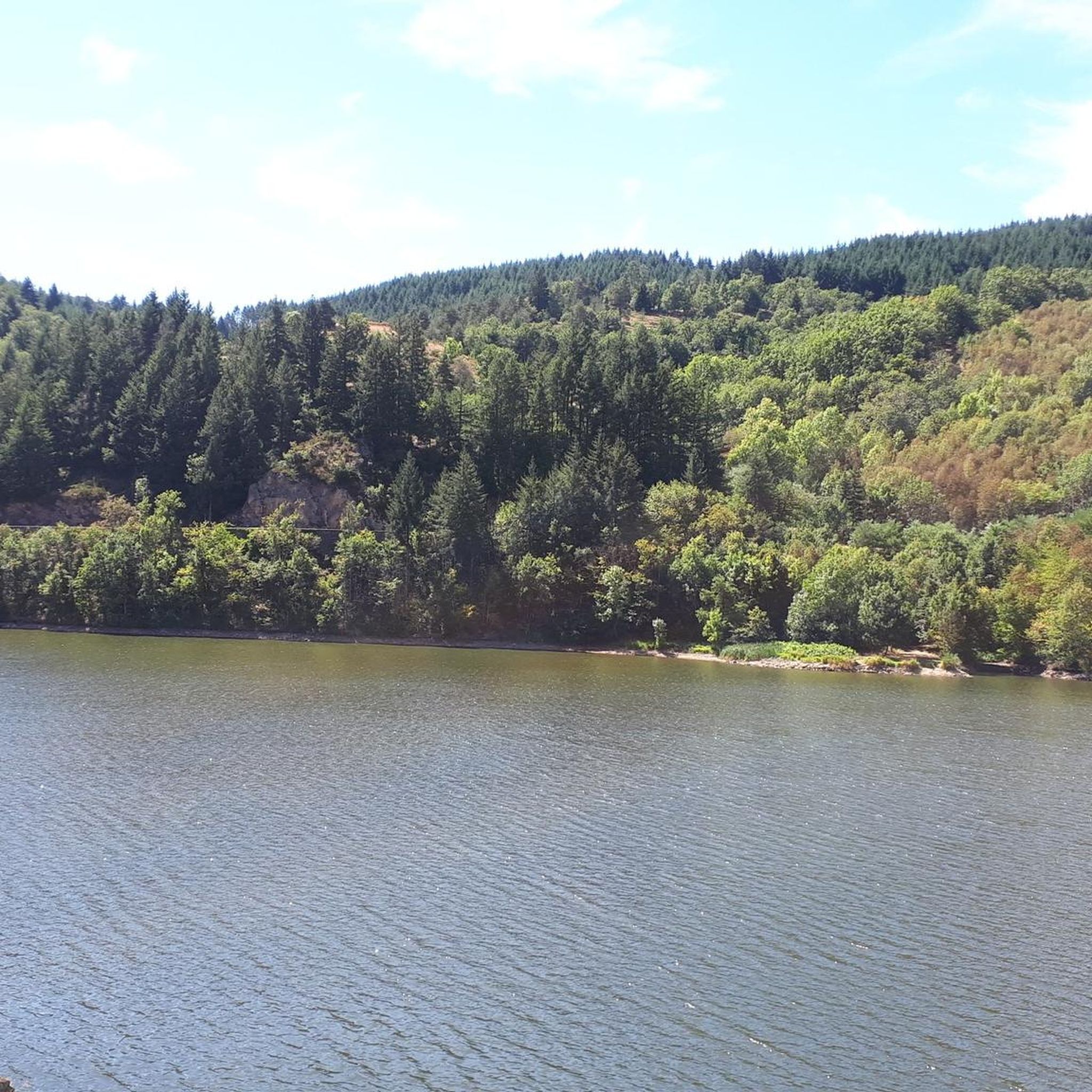
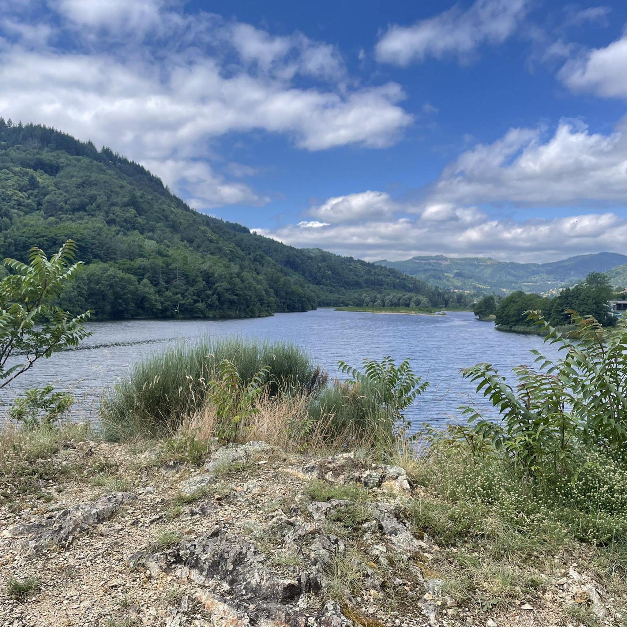
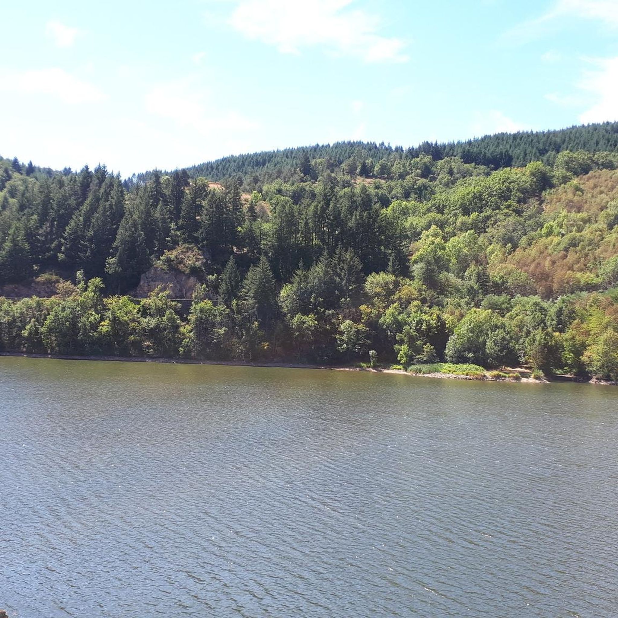
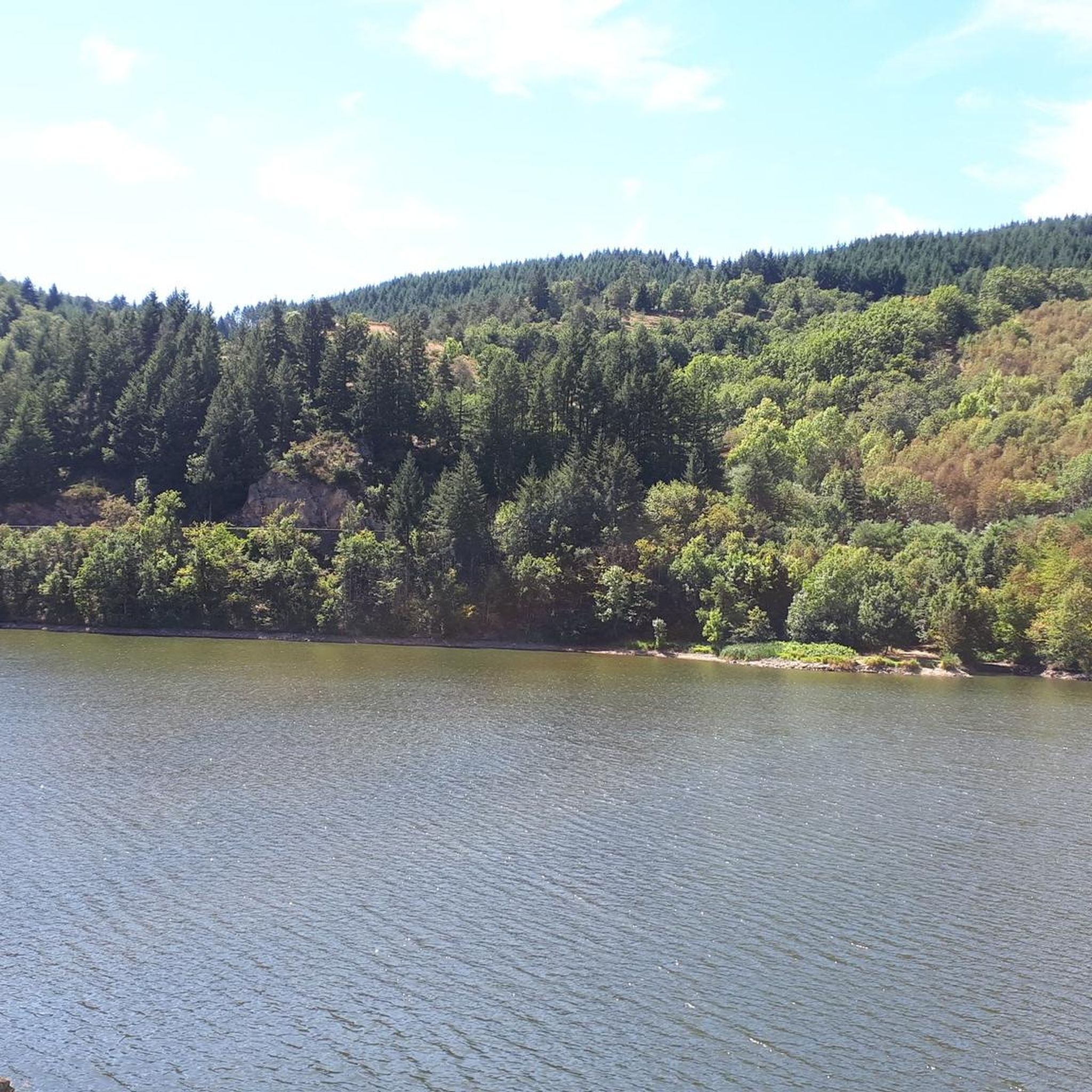
Road cycling routes around Saint-Michel-D'Aurance are situated within the Monts d'Ardèche Regional Natural Park, characterized by its green landscapes, ancient volcanoes, and mountains. The region features diverse topography, including the Eyrieux and Talaron Valleys, which offer varied terrain for cyclists. Routes traverse pine forests and chestnut groves, providing a mix of natural environments. The area's elevation changes and scenic features make it suitable for a range of road cycling experiences.
Best road cycling routes around Saint-Michel-D'Aurance
- The most popular road…
Last updated: July 1, 2026
5.0
(2)
117
riders
202km
11:11
4,250m
4,250m
Hard road ride. Very good fitness required. Mostly well-paved surfaces and easy to ride.
5.0
(2)
59
riders
188km
10:15
3,820m
3,820m
Hard road ride. Very good fitness required. Mostly well-paved surfaces and easy to ride.

Sign up for free
23
riders
134km
07:06
2,490m
2,490m
Hard road ride. Very good fitness required. Mostly well-paved surfaces and easy to ride.
5.0
(1)
26
riders
Hard road ride. Very good fitness required. Mostly well-paved surfaces and easy to ride.
5.0
(1)
7
riders
37.0km
02:13
900m
900m
Moderate road ride. Good fitness required. Mostly well-paved surfaces and easy to ride.
Get access to more routes and recommendations from other explorers.
Sign up for free
Already have an account?
Our route recommendations are based on thousands of hikes, rides, and runs completed by other people on komoot.
Start today with a free account
Your next adventure awaits.
Login or Signup

Tips from the Community

Board the Mastrou and discover our entire line, from the T. St Jean de Muzols station to Lamastre. The railway is the only way to admire the wild landscapes of the Doux Valley, a river it follows for 28 kilometers, crossing bridges, viaducts, and tunnels. From the Gorges du Doux to the Ardèche plateau, passing through orchards and chestnut groves, you won't miss a thing in the Ardèche verte! https://www.trainardeche.fr/
0
0
Located at an altitude of 1,330 meters, Lachamp-Raphaël is the highest village in the Ardèche. Dominated by the Montivernoux peak, the village offers exceptional panoramic views of the Alps and the Ardèche mountains. https://lachamp-raphael.fr/
0
0

A small station for repairing and charging bicycles - with shady seating - near a small cafe/restaurant about 50m
1
0

A must-see even if you don't take the train
0
0

Small street, no traffic
0
0
Anyone who wants to stop for a bite to eat should stop here. There are few alternatives. A Grand Café Creme and a generous sandwich for 8 euros.
1
1


The arrival of the Ardèche Train “Le Mastrou”
0
0
Frequently Asked Questions
How many road cycling routes are available in Saint-Michel-D'Aurance?
There are over 70 road cycling routes around Saint-Michel-D'Aurance, offering a wide range of options for different skill levels. You'll find everything from moderate rides to very challenging ascents through the Monts d'Ardèche Regional Natural Park.
What kind of terrain can I expect when road cycling in Saint-Michel-D'Aurance?
The terrain is diverse, characterized by the green landscapes of the Monts d'Ardèche Regional Natural Park, ancient volcanoes, and mountains. You'll cycle through the scenic Eyrieux and Talaron Valleys, with routes traversing pine forests and chestnut groves. Expect varied elevation changes, from gentle slopes to significant climbs, offering a mix of natural environments.
Are there road cycling routes suitable for beginners or families?
Yes, Saint-Michel-D'Aurance offers routes suitable for various abilities. While many routes involve climbs, there are 2 easy and 28 moderate routes available. The Dolce Via, a former railway line, provides sections that are generally more accessible, though some parts might be unpaved or have older asphalt. For a moderate option, consider the Collanges Dam and Lake – Col de Mézilhac (1,119 m) loop from Saint-Michel-d'Aurance.
What are some challenging road cycling options in the area?
For experienced cyclists seeking a challenge, there are 43 difficult routes. The region is known for its mountain passes and significant elevation gains. A particularly challenging option is the Buisson Pass – Col de Mézilhac (1,119 m) loop from Le Cheylard, which covers 187.9 km with over 3,800 meters of elevation gain. Another demanding route is the Col de Mézilhac (1,119 m) – Col des Fourches loop from Saint-Cierge-sous-le-Cheylard.
Can I find road cycling routes with panoramic views?
Absolutely. The Monts d'Ardèche Regional Natural Park is renowned for its superb landscapes and panoramic vistas. The "Croix du Pialon" is specifically noted for offering amazing panoramic views. Many routes, especially those ascending to mountain passes like Col de Mézilhac, provide rewarding views of the surrounding valleys and mountains.
What attractions can I see along the road cycling routes?
The routes often pass by interesting natural and man-made features. You can explore sections of the famous La Dolce Via, including the picturesque Dolce Via Section Through the Gorges of the Eyrieux. The Nonières Tunnel, an illuminated 320-meter tunnel, is also a unique feature along the Dolce Via.
Is the Dolce Via suitable for road cycling in this area?
Yes, the Dolce Via is a major draw for cyclists in the region. While it's a former railway line transformed into a cycle route, some sections might be unpaved or have older asphalt, making it more suitable for VTC or gravel bikes in places. However, many parts, especially through the Gorges of the Eyrieux, are picturesque and enjoyable for road cyclists, offering beautiful scenery and views.
Are there any circular road cycling routes around Saint-Michel-D'Aurance?
Yes, many of the routes are designed as loops, allowing you to start and end in the same location. Examples include the Buisson Pass – Col de Mézilhac (1,119 m) loop from Le Cheylard and the Collanges Dam and Lake – Col de Mézilhac (1,119 m) loop from Saint-Michel-d'Aurance. These circular routes are ideal for exploring the diverse landscapes without needing to retrace your path.
What is the best time of year for road cycling in Saint-Michel-D'Aurance?
The region is generally appealing for outdoor activities. Spring and autumn typically offer pleasant temperatures and vibrant scenery, making them ideal for road cycling. Summer can also be excellent, though it's wise to start earlier in the day to avoid the midday heat, especially on longer climbs. The varied landscapes, from valleys to pine forests, provide enjoyable conditions across different seasons.
How do other cyclists rate the routes in Saint-Michel-D'Aurance?
The road cycling routes in Saint-Michel-D'Aurance are highly rated by the komoot community, with an average score of 4.6 stars from over 60 reviews. More than 2,000 road cyclists have used komoot to explore the area, often praising the varied terrain, scenic beauty, and the challenge offered by the mountain passes.
Are there options for long-distance road cycling routes?
Yes, for those looking for extensive rides, there are several long-distance options. The longest route available is the Buisson Pass – Col de Mézilhac (1,119 m) loop from Le Cheylard, which spans 187.9 km. This route offers a full day of challenging cycling through the mountainous terrain of the Ardèche.
Where can I find amenities like bike repair or refreshments?
The Le Cheylard train station serves as a practical hub for cyclists. It offers amenities such as bicycle repair and charging facilities, along with shaded seating and nearby options for refreshments. It's a convenient stop or starting point for many routes in the area.
What are the main features of the Monts d'Ardèche Regional Natural Park for cyclists?
The park is characterized by its green and wild nature, ancient volcanoes, and mountains, providing a stunning backdrop for cycling. Cyclists can explore diverse topography, including the Eyrieux and Talaron Valleys, and traverse paths through pine forests and chestnut groves. The park offers a network of routes with varied elevation, catering to different cycling levels while showcasing the region's natural beauty.
Most popular routes around Saint-Michel-D'Aurance
Most popular attractions around Saint-Michel-D'Aurance

Get inspired with the komoot mobile app


Explore more
Browse the best Road cycling routes in other regions.
