The best walks and hikes around Rothendorf
4.5
(4554)
17,148
hikers
505
hikes
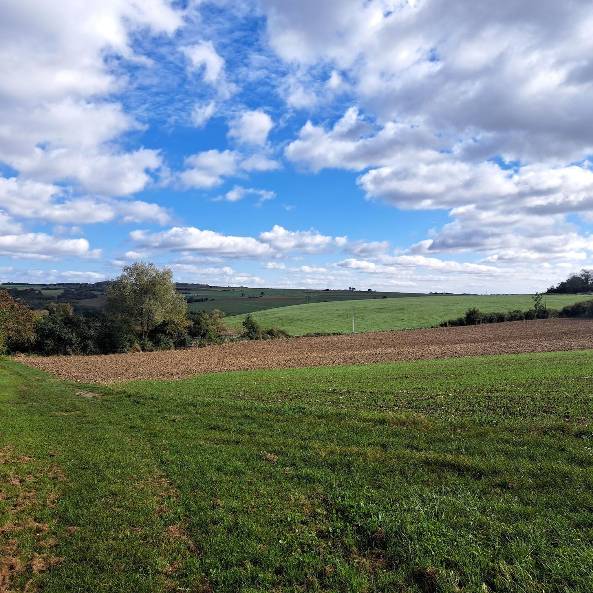
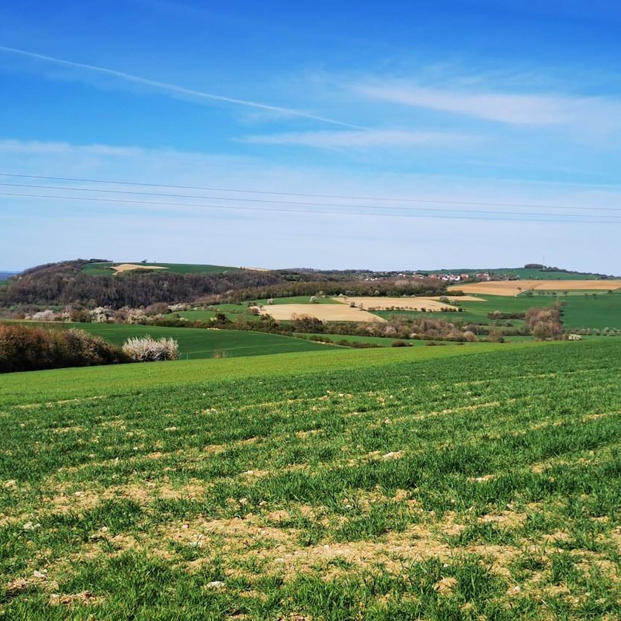
Hiking around Rothendorf features a landscape characterized by gentle rolling hills and open countryside, with routes often passing through charming villages and along historical border areas. The terrain is generally accessible, offering mild elevation changes suitable for leisurely walks. Many routes provide views of the surrounding agricultural land and local landmarks.
Best hiking trails around Rothendorf
- The most popular hiking route is View of the Border Window – Leidingen Border Street loop from Heining-lès-Bouzonville, a 3.9 miles (6.3 km)…
Last updated: July 6, 2026
4.5
(15)
49
hikers
Easy hike. Great for any fitness level. Easily-accessible paths. Suitable for all skill levels.
4.1
(9)
9
hikers
7.29km
01:57
80m
80m
Easy hike. Great for any fitness level. Easily-accessible paths. Suitable for all skill levels.

Sign up for free
3.8
(5)
8
hikers
5.97km
01:37
80m
80m
Easy hike. Great for any fitness level. Easily-accessible paths. Suitable for all skill levels.
4.9
(9)
6
hikers
5.71km
01:36
110m
110m
Easy hike. Great for any fitness level. Easily-accessible paths. Suitable for all skill levels.
5.0
(1)
2
hikers
Moderate hike. Good fitness required. Easily-accessible paths. Suitable for all skill levels.
Get access to more routes and recommendations from other explorers.
Sign up for free
Already have an account?
Our route recommendations are based on thousands of hikes, rides, and runs completed by other people on komoot.
Start today with a free account
Your next adventure awaits.
Login or Signup
Tips from the Community

Border View Trail. Dream Loops Saar-Hunsrück. This circular hiking trail leads along the German-French border with beautiful views.
1
0
The border view windows represent the boundlessness of the place - not only in terms of its relationship with its French neighbors, but also in terms of the magnificent panoramas that await guests when they look through the beautiful windows.
1
0

A very nice idea with the windows
1
0
Also worth seeing from the inside
0
0
A great church that was fortunately open
1
0
the fountain did not bubble and the water was not particularly clean
0
0
Unfortunately the church was closed.
1
0
Very beautifully designed border window
2
0
Frequently Asked Questions
How many hiking trails are there around Rothendorf?
There are over 500 hiking trails around Rothendorf, offering a wide variety of options for different preferences and skill levels. The komoot community has rated these routes with an average of 4.5 stars.
What is the typical terrain and difficulty level for hiking in Rothendorf?
Hiking around Rothendorf is characterized by gentle rolling hills and open countryside. The terrain is generally accessible, with mild elevation changes, making most routes suitable for leisurely walks. The majority of trails, over 300, are rated as easy, with nearly 200 moderate options and a few more challenging routes available.
Are there any circular hiking routes in Rothendorf?
Yes, Rothendorf offers many circular hiking routes. For example, the View of the Border Window – Leidingen Border Street loop from Heining-lès-Bouzonville is an easy 3.9-mile (6.3 km) loop exploring the border region. Another popular option is the Village Fountain (1886) – Oberdorff Village Fountain loop from Oberdorff, which is 4.5 miles (7.3 km) and highlights local history.
What kind of natural features or landmarks can I expect to see while hiking in Rothendorf?
While hiking around Rothendorf, you can discover various points of interest. Notable natural features include the Saar Riverbank Near Saarlouis and the Travertine Steps on the Idesbach Trail. You might also encounter historical sites like the Devil's Castle (Felsberg) or the Monument "For the Great Europeans" and Observation Tower (Berus).
Are the hiking trails in Rothendorf suitable for families with children?
Yes, many of the trails in Rothendorf are well-suited for families. The gentle terrain and mild elevation changes make them accessible for all ages. Routes often pass through charming villages and open countryside, providing an enjoyable experience for children.
Can I bring my dog on the hiking trails in Rothendorf?
Generally, dogs are welcome on hiking trails in Rothendorf. The open countryside and village paths provide ample space for walks with your canine companion. However, it's always recommended to keep dogs on a leash, especially when passing through agricultural areas or near livestock.
What do other hikers say about the trails in Rothendorf?
The hiking trails in Rothendorf are highly regarded by the komoot community, with an average score of 4.5 stars from over 4000 reviews. Hikers often praise the well-maintained paths, the peaceful atmosphere of the open countryside, and the charming village surroundings.
When is the best time of year to go hiking in Rothendorf?
Rothendorf offers pleasant hiking experiences throughout much of the year. Spring and autumn provide comfortable temperatures and beautiful scenery, with blooming flowers or vibrant fall foliage. Summer is also suitable, though it can be warmer, while winter hiking is possible on many of the accessible paths, especially on clear days.
Are there any places to eat or stay overnight near the hiking trails in Rothendorf?
While specific establishments are not detailed in the guide, the region's charming villages often feature local eateries and guesthouses. For example, the Wackenmühle on the Nied is listed as a restaurant highlight. Exploring the villages along your chosen route is a good way to find places for refreshments or accommodation.
Are there any longer or more challenging routes for experienced hikers in Rothendorf?
While Rothendorf is known for its generally easy and moderate trails, there are a few routes that offer a bit more challenge, with 11 trails rated as difficult. These routes might feature slightly steeper ascents or cover longer distances, providing a more strenuous experience for experienced hikers.
What are some unique places to explore near Rothendorf?
Beyond the trails, you can explore unique sites like the Celtic Village and Burial Mounds Rehlingen-Siersburg, offering a glimpse into ancient history. For a relaxing stop, consider the ASV Ihn-Leidingen Pond Recreation Area or the Ihner Weiher.
Are there options for parking near the trailheads in Rothendorf?
Yes, parking is generally available near the starting points of many trails, especially in or near the villages. Given the region's focus on accessibility, you can typically find convenient spots to park your car before embarking on your hike.
Is it possible to reach hiking trails in Rothendorf using public transport?
While specific public transport links to every trailhead are not detailed, the presence of charming villages suggests that some routes may be accessible via local bus services. It is advisable to check local public transport schedules for the specific village you plan to start your hike from.
Most popular routes around Rothendorf
Most popular attractions around Rothendorf

Get inspired with the komoot mobile app


Explore more
Browse the best Hikes in other regions.
