The best mountain hikes in Rogaland
4.7
(15)
86
hikers
10
hikes
Mountaineering in Rogaland offers diverse terrain, from flat agricultural plains to dramatic cliffs and deep fjords. The region is characterized by towering cliffs rising over 900 meters from the Lysefjorden and barren uplands. Notable features include Preikestolen, a massive cliff 604 meters above Lysefjord, and Kjerag, which rises 1084 meters and features the Kjeragbolten boulder. The Suldalsheiane area, part of the Setesdal Vesthei and Ryfylkeheiane mountain range, contains Rogaland's highest peak, Vassdalseggi, at 1658.2 meters.
Best mountaineering routes in Rogaland
- The most popular mountaineering route is View of Edlandsvatnet – Preikestolen (Pulpit Rock) loop from Vatne, a 5.2 miles (8.4 km) trail that takes 3 hours 23 minutes to complete. This difficult route offers panoramic views from the iconic Preikestolen.
- Another top favourite among local mountaineers is Kjeragbolten – Lysefjord Viewpoint loop from Venekvævtjørna, a difficult 12.1 miles (19.5 km) path. This route leads to the famous Kjeragbolten and provides extensive views of the Lysefjord.
- Local mountaineers also love the Ternevatnet loop from Flørli kraftverk, a 6.3 miles (10.1 km) trail leading through varied mountain terrain with significant elevation gain, often completed in about 4 hours 34 minutes.
- Mountaineering in Rogaland is defined by deep fjords, towering cliffs, and varied mountain terrain. The region offers routes suitable for different ability levels, from moderate paths to challenging ascents.
- The routes in Rogaland are highly rated by the komoot community with an average score of 4.7 stars from over 130 reviews. More than 700 mountaineers have used komoot to explore Rogaland's varied terrain.
Last updated: August 22, 2026
4.5
(4)
32
hikers
17.6km
06:00
620m
620m
Hard mountaineering route. Very good fitness required. Sure-footedness, sturdy shoes and alpine experience required.
5.0
(1)
9
hikers
4.45km
01:42
300m
300m
Easy mountaineering route. Great for any fitness level. Easily-accessible paths. Suitable for all skill levels.

Sign up for free
3
hikers
19.5km
07:29
750m
750m
Hard mountaineering route. Very good fitness required. Sure-footedness, sturdy shoes and alpine experience required.
7
hikers
5.36km
03:18
530m
530m
Hard mountaineering route. Good fitness required. Sure-footedness, sturdy shoes and alpine experience required.
4.0
(2)
6
hikers
4.17km
01:34
250m
250m
Hard mountaineering route. Great for any fitness level. Sure-footedness, sturdy shoes and alpine experience required.
5.0
(2)
3
hikers
3.52km
01:08
130m
130m
Easy mountaineering route. Great for any fitness level. Easily-accessible paths. Suitable for all skill levels.
3
hikers
10.1km
04:34
810m
810m
Moderate mountaineering route. Good fitness required. Mostly accessible paths. Sure-footedness required.
2
hikers
6.66km
02:13
180m
180m
Moderate mountaineering route. Good fitness required. Mostly accessible paths. Sure-footedness required.
5.0
(1)
2
hikers
11.0km
03:57
540m
550m
Moderate mountaineering route. Good fitness required. Mostly accessible paths. Sure-footedness required.
Our route recommendations are based on thousands of hikes, rides, and runs completed by other people on komoot.
Start today with a free account
Your next adventure awaits.
Login or Signup
Popular around Rogaland
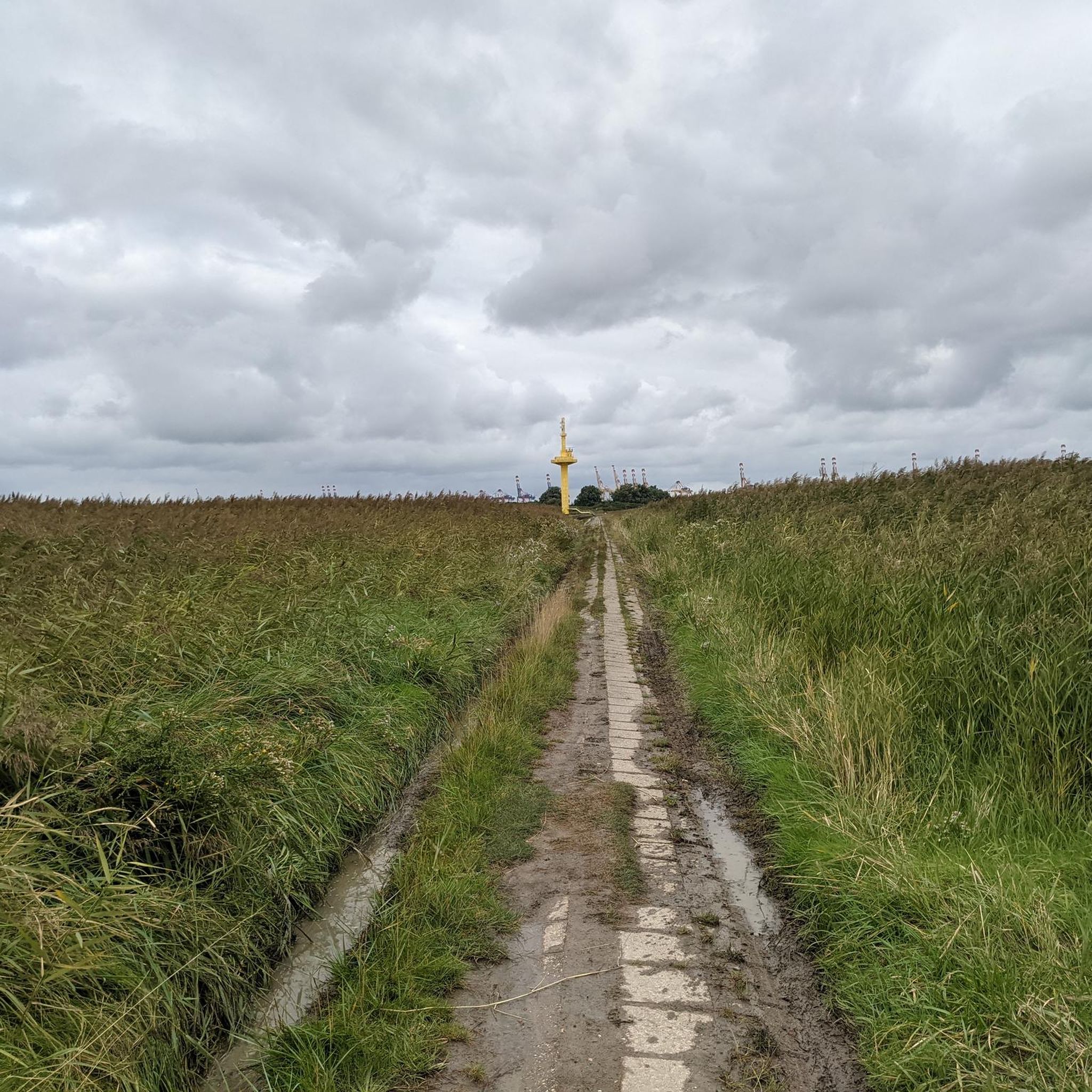
Mountain Hikes around Forsand
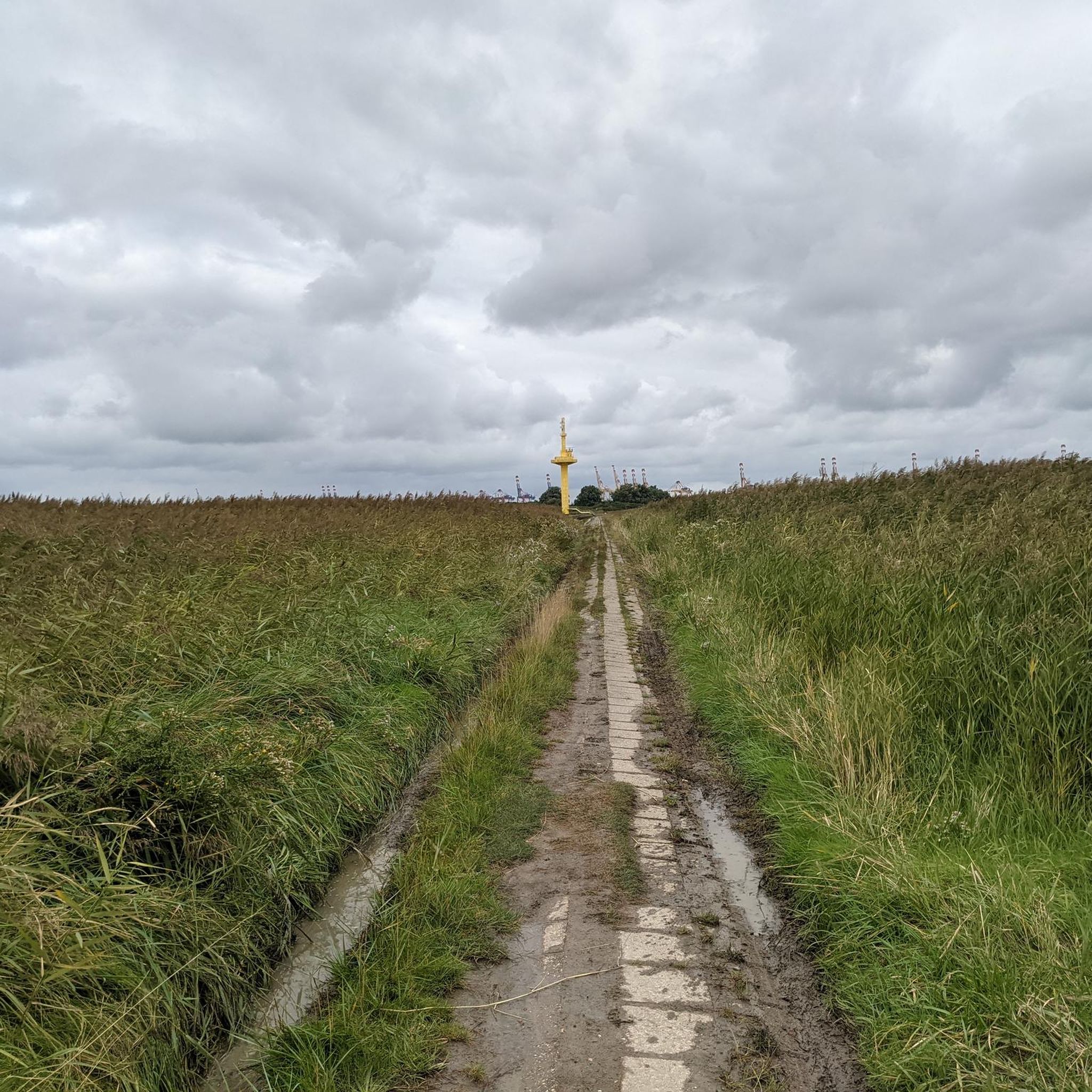
Mountain Hikes around Sandnes
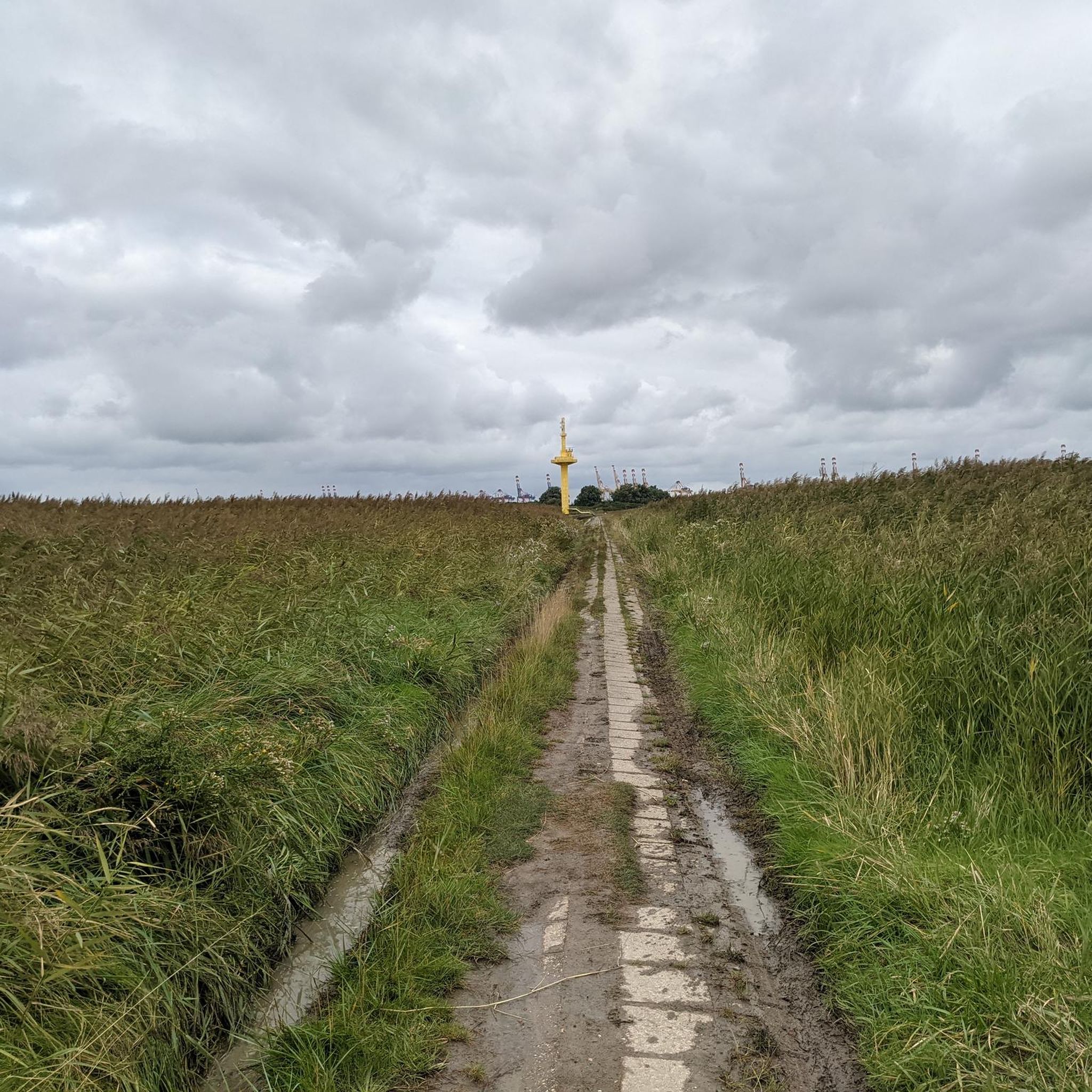
Mountain Hikes around Strand
Mountain Hikes around Gjesdal

Mountain Hikes in Frafjordheiane Landskapsvernområde
Mountain Hikes in Hesten Naturreservat
Mountain Hikes around Hjelmeland
SignaTUR Gullruta i Etnefjellene – Trekking Norway's Golden Route
The North Sea Coast Cycle Route — Norway
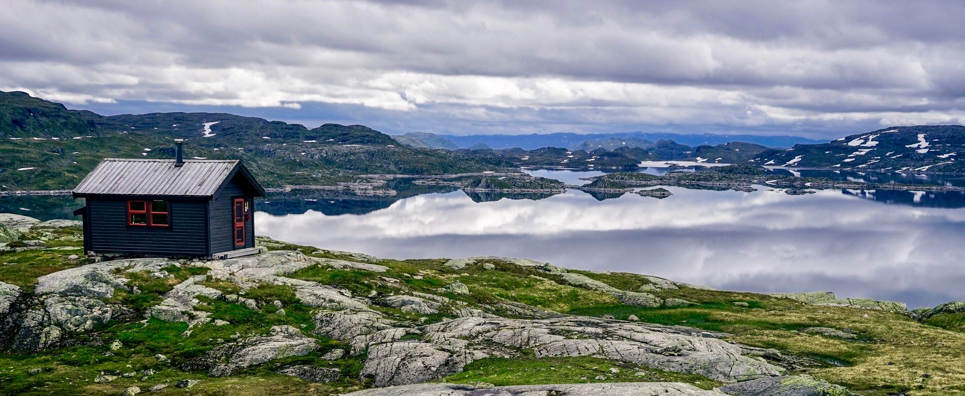
150 km in the Wilderness of Norway
Other adventures in Rogaland


Tips from the Community

Sign prohibits entry with dogs. The path runs across a meadow populated with animals.
0
0

At Preikestolen Basecamp, you'll find everything you might need before or after your hike: restrooms, a café, and shops right on site. In the shop, you can find souvenirs and typical tourist items, as well as hiking gear. If you don't have suitable shoes, you can even rent hiking boots. Right on the fjord, just below the Basecamp, there's also the opportunity to explore the surroundings from the water. You can rent stand-up paddleboards or kayaks and take a trip on the fjord.
0
0

From the summit of Mule, you have one of the most beautiful views of the fjord. The view stretches far into the distance, allowing you to see the fjord in all its depth, all the way to where it meets the sea. As an added bonus, there is even a bench where you can sit and enjoy the view for as long as you like.
0
0
This small wooden bridge allows you to cross the Dirdalsana River, where the most beautiful hikes in the area begin. Take the time to stop in the middle to admire the view on both sides. On the west side, you can see the mouth of the river, still wide, surrounded by green mountains. What a beautiful sight!
0
0


Frequently Asked Questions
How many mountaineering routes are available in Rogaland?
There are over 10 mountaineering routes documented in Rogaland, offering a variety of experiences across its diverse landscapes. These routes are highly rated by the komoot community, with an average score of 4.7 stars from over 130 reviews.
Are there any easy mountaineering routes suitable for beginners in Rogaland?
Yes, Rogaland offers several routes suitable for beginners. For example, the Eikelitjørna – Sokkanuten loop from Levik is an easy 4.7 km path. Another accessible option is the Gramstadtjørna Lake – Dalsnuten Summit loop from Gramstad, which is 3.5 km long and leads to the 323-meter-high Dalsnuten, offering great views.
What are some challenging mountaineering routes in Rogaland?
For those seeking a challenge, Rogaland has several difficult routes. The View of Edlandsvatnet – Tjødnane loop from Jøssang is a demanding 17.5 km route with significant elevation gain. Another difficult option is the Ramnstoknuten – Mulen loop from Dirdal, covering 5.3 km with steep ascents.
What is the best time of year for mountaineering in Rogaland?
The best season for mountaineering in Rogaland is typically from late spring to early autumn (May to September). While the coastal climate can change quickly, these months generally offer more stable weather conditions. Always be prepared for varying conditions, even in summer, as the mountains can experience rapid weather shifts.
Are there any circular mountaineering routes in Rogaland?
Many of Rogaland's mountaineering routes are designed as loops, allowing you to start and end at the same point. Examples include the popular View of Edlandsvatnet – Preikestolen (Pulpit Rock) loop from Vatne and the challenging Kjeragbolten – Lysefjord Viewpoint loop from Venekvævtjørna. The Stone Face Sculpture – View from Himakånå loop from Nedstrand kyrkje is another moderate circular option.
What interesting natural features or landmarks can I see along the mountaineering routes?
Rogaland's routes offer access to spectacular natural monuments. You can experience the iconic Preikestolen (Pulpit Rock), offering panoramic views of the Lysefjord. Another highlight is Kjeragbolten, a famous boulder wedged in a mountain crevasse. The Himakånå Cliff also provides stunning vistas.
Are there any huts or shelters available along the mountaineering trails in Rogaland?
Yes, for longer excursions or unexpected weather changes, there are several huts and shelters. Notable options include the Emergency Shelter at Refsvatnet, the Preikestolen Mountain Lodge, and the Kjerag Emergency Shelter. These can provide welcome respite during your mountaineering adventures.
What should I wear for mountaineering in Rogaland?
Given Rogaland's often unpredictable coastal climate, it's essential to dress in layers. Waterproof and windproof outer layers are highly recommended, even in summer. Sturdy hiking boots, moisture-wicking base layers, and extra warm clothing are crucial. Always pack a hat, gloves, and sun protection, as conditions can change rapidly.
Are there any less crowded mountaineering routes in Rogaland, away from the main tourist spots?
While Preikestolen and Kjerag are very popular, you can find quieter experiences. Consider routes like the Ternevatnet loop from Flørli kraftverk, which leads through varied mountain terrain. The Litlehornåsen loop from Storehornåsen is another moderate option that might offer a more serene experience.
What are the geological characteristics of the mountains in Rogaland?
Rogaland's mountains are characterized by dramatic geological formations, primarily granite and gneiss. The region features towering cliffs, deep fjords like Lysefjorden, and unique features such as the precariously wedged Kjeragbolten boulder. The varied terrain offers diverse climbing opportunities and stunning landscapes shaped by ancient glacial activity.
Are there any specific considerations for winter mountaineering in Rogaland?
Winter mountaineering in Rogaland can be challenging and requires specialized gear and experience. Conditions can be severe, with snow, ice, and strong winds. It's crucial to check weather forecasts, avalanche warnings, and trail conditions before heading out. Some areas, especially in the higher Suldalsheiane, may be inaccessible or require snowshoes/skis. Always prioritize safety and consider hiring a local guide if you're unfamiliar with winter conditions in the region.
Most popular routes in Rogaland
Most popular attractions in Rogaland

Get inspired with the komoot mobile app


Didn’t find what you were looking for?
Check out more Mountain Hikes & Routes throughout Rogaland below and find the perfect route in your destination.
Explore more
Browse the best Mountain Hikes & Routes in other regions.
