The best running trails around Saint-Barthélemy-Le-Meil
3.9
(9)
366
runners
73
runs
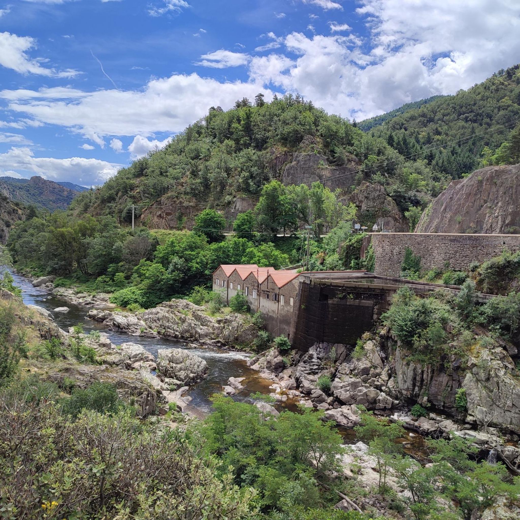
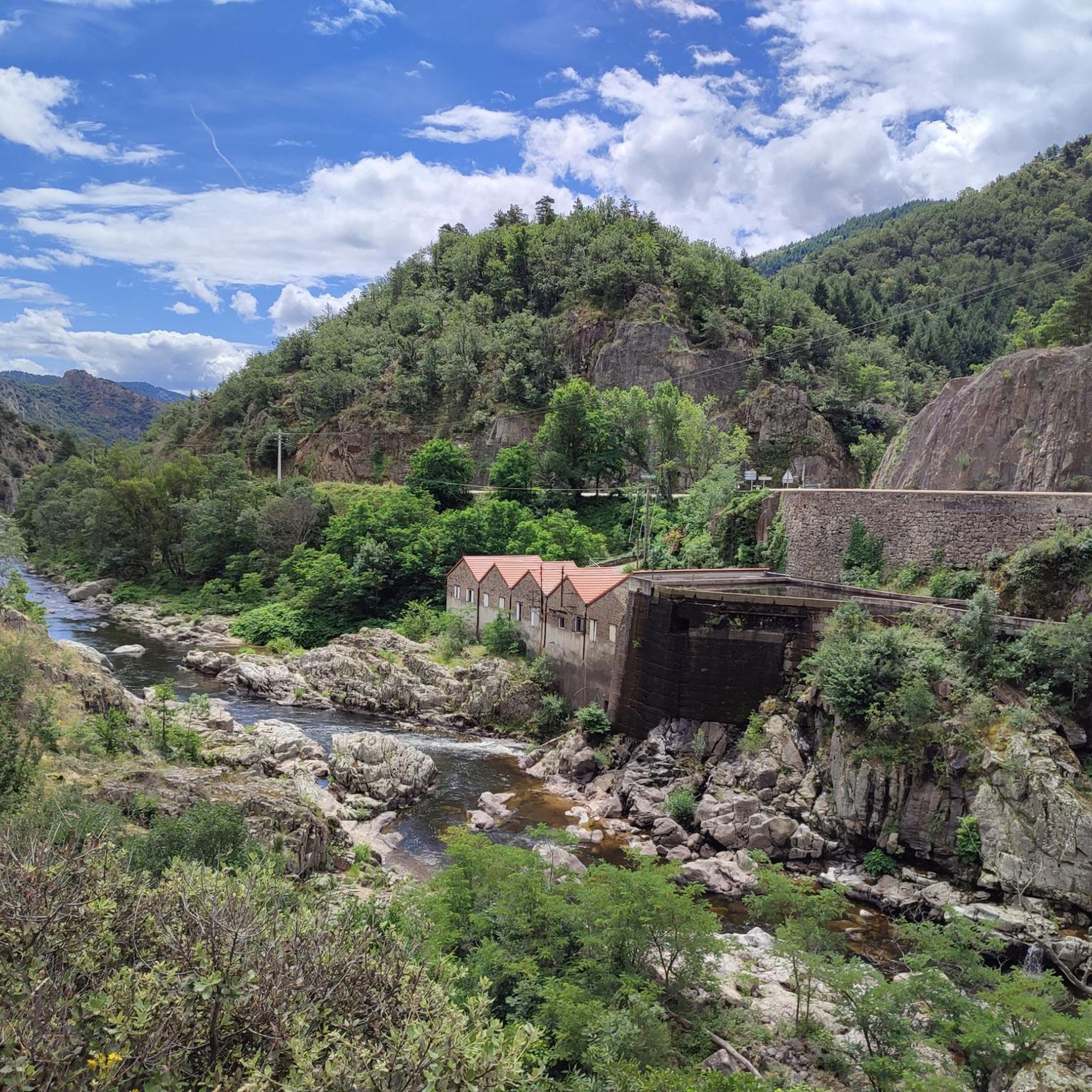
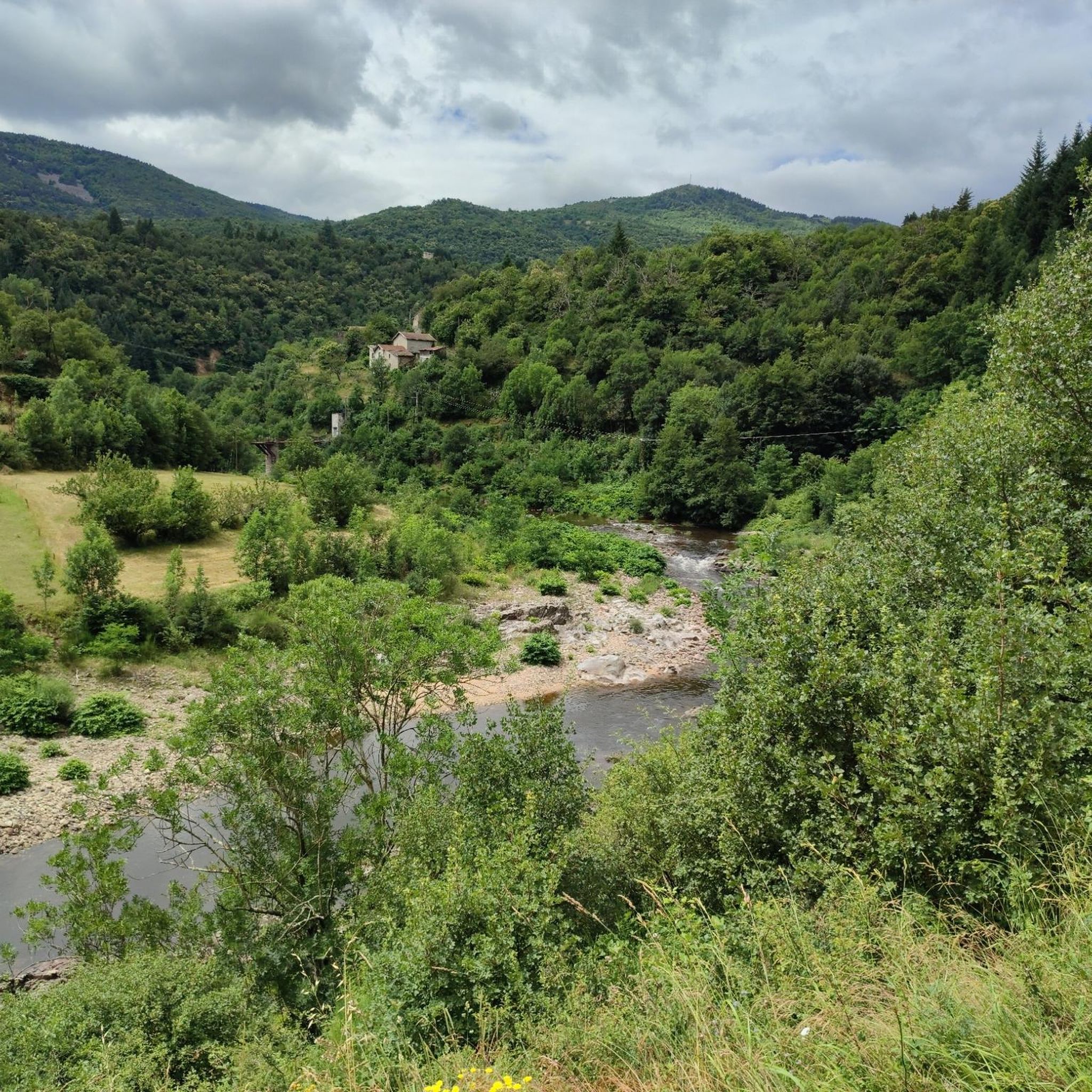
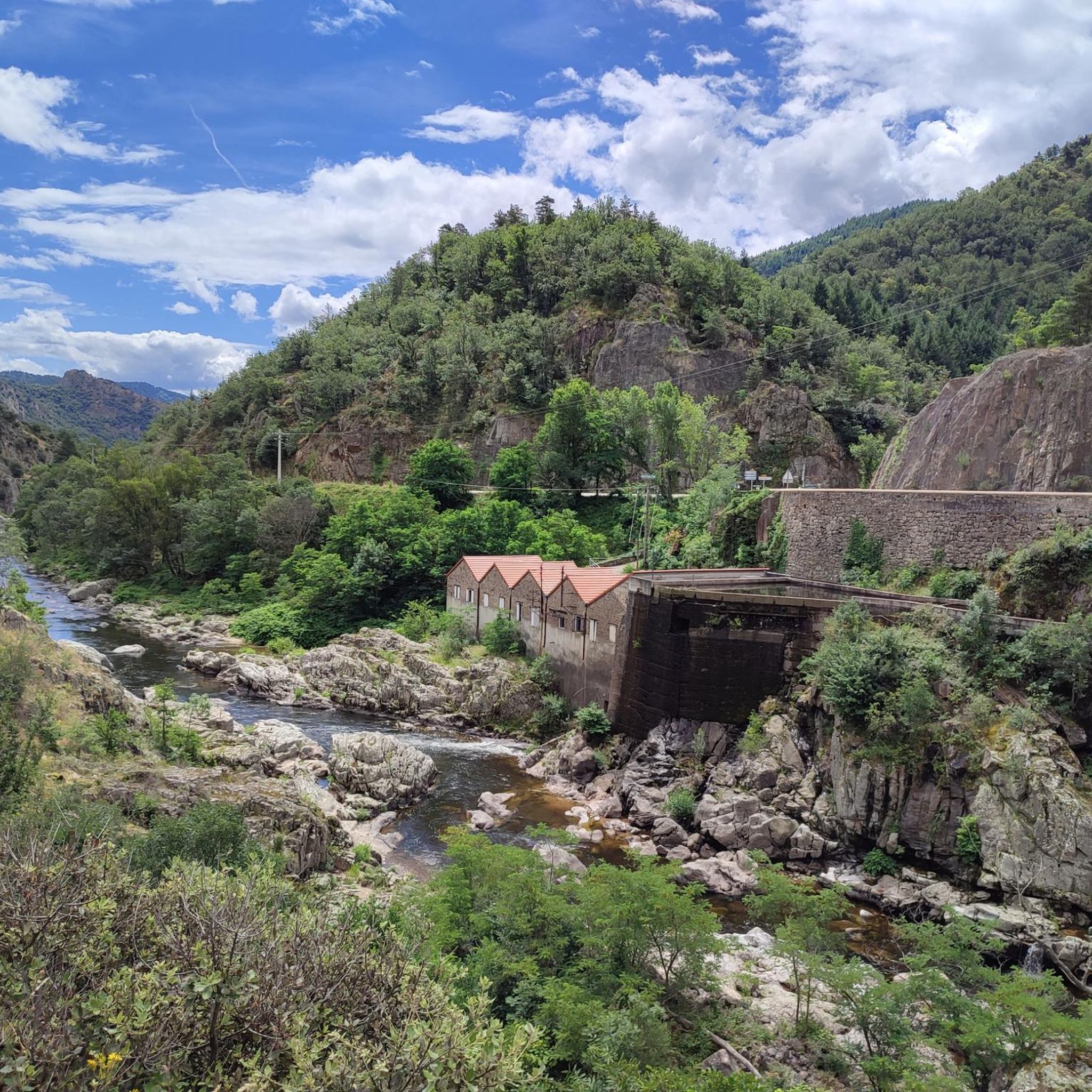
Jogging routes around Saint-Barthélemy-Le-Meil traverse the diverse landscapes of the Ardèche department in France. The region is characterized by the Vivarais mountains, offering varied terrain with altitudes ranging from 340 to 800 meters. Key features for running include the Dolce Via, a rehabilitated railway line providing relatively flat paths, and the scenic Eyrieux valley. Dense forests and streams contribute to the natural environment, providing a tranquil setting for outdoor exercise.
Best jogging routes around Saint-Barthélemy-Le-Meil
- The most popular jogging route…
Last updated: July 1, 2026
16
runners
Moderate run. Good fitness required. Mostly paved surfaces. Suitable for all skill levels.
10
runners
15.2km
01:54
380m
380m
Hard run. Very good fitness required. Mostly paved surfaces. Suitable for all skill levels.

Sign up for free
16
runners
14.9km
01:56
510m
500m
Hard run. Very good fitness required. Mostly paved surfaces. Suitable for all skill levels.
10
runners
10.8km
01:12
230m
230m
Moderate run. Good fitness required. Mostly paved surfaces. Suitable for all skill levels.
10
runners
13.2km
01:28
280m
280m
Moderate run. Good fitness required. Mostly paved surfaces. Suitable for all skill levels.
Get access to more routes and recommendations from other explorers.
Sign up for free
Already have an account?
Our route recommendations are based on thousands of hikes, rides, and runs completed by other people on komoot.
Start today with a free account
Your next adventure awaits.
Login or Signup
Tips from the Community

A small station for repairing and charging bicycles - with shady seating - near a small cafe/restaurant about 50m
1
0

A large, refreshing tunnel
0
0


Possibility of starting from the 3 stations in the region and thus completing one of the 3 sections of +_ 30km outward and possibly return depending on the time or desires. Accessible to all, be careful however it climbs all the time coming from the Rhône. Superb landscapes and very secure routes, accessible to all levels, gravel and vtc, quite a bit of gravel.
0
0

Collanges Lake is a 48-hectare artificial lake (which also serves as a water control dam for the Eyrieux Valley). Swimming is prohibited, but fishing is permitted (category 2). For swimming, you can visit the Eyrium aquatic center, with its 1,650 m² nestled in unspoiled nature, a large swimming pool, beaches, and games.
0
1

The tunnel lights up automatically, great atmosphere
1
0

La Dolce Via lives up to its name. Very nice bike path. Many benches and picnic areas.
1
0
Frequently Asked Questions
How many running routes are available around Saint-Barthélemy-Le-Meil?
There are over 60 dedicated running routes around Saint-Barthélemy-Le-Meil, catering to various fitness levels. These include 1 easy, 23 moderate, and 36 difficult trails.
What kind of terrain can I expect on jogging trails in Saint-Barthélemy-Le-Meil?
Jogging trails in Saint-Barthélemy-Le-Meil offer a diverse range of terrain, from relatively flat paths along the Dolce Via to more challenging ascents through the Vivarais mountains. The altitude varies from 340 to 800 meters, providing options for different preferences.
Are there any easy running routes for beginners in the area?
Yes, while many routes are moderate to difficult, there is at least one easy running route available. For a moderate option that offers scenic views without extreme difficulty, consider the Le Cheylard train station – Lac des Collanges loop from Le Cheylard, which is 8.3 km long.
What are some scenic viewpoints or natural features to look out for on the trails?
Many routes offer stunning views. You can enjoy panoramic vistas of the Eyrieux Valley, the Monts d'Ardèche, and even the Alps from higher elevations like the hamlet of Burianne. The Lac des Collanges and the dense forests also provide picturesque settings.
Are there any long-distance running options or challenging trails?
Absolutely. For a challenging long-distance run, the La Dolce Via – Château de la Chèze loop from Saint-Cierge-sous-le-Cheylard covers 20.3 km with significant elevation changes. Another difficult option is the La Dolce Via – Nonières Tunnel loop from Saint-Cierge-sous-le-Cheylard, which is 14.3 km and passes through the historic Nonières Tunnel.
What is the Dolce Via and how does it relate to running in Saint-Barthélemy-Le-Meil?
The Dolce Via is a 200-kilometer rehabilitated railway line that passes directly through Saint-Barthélemy-Le-Meil. It offers relatively flat and scenic routes, making it ideal for running. Many local trails, such as the La Dolce Via – Viewpoint on the Dolce Via loop from Le Cheylard, incorporate sections of this historic path.
What do other runners say about the trails in Saint-Barthélemy-Le-Meil?
The running routes in Saint-Barthélemy-Le-Meil are highly rated by the komoot community, with an average score of 3.7 stars from over 9 reviews. Runners often praise the varied mountain terrain, the historic Dolce Via, and the picturesque Eyrieux Valley.
Are there any historical landmarks or points of interest along the running routes?
Yes, several routes feature interesting landmarks. You can run past the Le Cheylard train station, through the Nonières Tunnel, or near the historic Rochebonne Castle. The region's agricultural heritage is also visible through cultivated terraces and stone walls along routes like the 'Circuit des terrasses'.
Can I find circular running routes in Saint-Barthélemy-Le-Meil?
Many of the running trails around Saint-Barthélemy-Le-Meil are designed as circular loops, allowing you to start and finish at the same point. Examples include the Le Cheylard train station – Lac des Collanges loop and the Viewpoint on the Dolce Via – La Dolce Via loop.
What is the best time of year for jogging in Saint-Barthélemy-Le-Meil?
The region benefits from a microclimate, making it pleasant for jogging for much of the year. Spring and autumn offer mild temperatures and vibrant scenery. Summer mornings and evenings are also ideal to avoid the midday heat, while the dense undergrowth provides shade. Winter can be beautiful, but check local conditions for snow or ice at higher altitudes.
Are there any specific natural areas or parks that the running routes pass through?
Yes, Saint-Barthélemy-Le-Meil is nestled within the Parc naturel régional des Monts d'Ardèche. This ensures well-maintained paths and a rich natural environment, characterized by forests, streams, and diverse biodiversity, perfect for an invigorating run.
Most popular routes around Saint-Barthélemy-Le-Meil
Most popular attractions around Saint-Barthélemy-Le-Meil

Get inspired with the komoot mobile app


Explore more
Browse the best Running Trails & Routes in other regions.
