The best mountain hikes in Grevenmacher Canton
4.7
(113)
258
hikers
14
hikes
Mountaineering in Grevenmacher Canton offers challenging experiences within Luxembourg's "Little Switzerland," characterized by unique sandstone formations and deep canyons. The region's topography features impressive rock walls, narrow gorges, and dense forests, providing varied terrain for exploration. While not high-alpine, the routes include steep ascents, descents, and rocky scrambles that demand steady footing. This landscape provides a distinctive setting for outdoor activities, focusing on rock features and forest trails.
Best mountaineering routes in Grevenmacher Canton
- The most popular mountaineering route is…
Last updated: September 29, 2026
4.6
(17)
41
hikers
13.7km
03:50
250m
250m
Moderate mountaineering route. Good fitness required. Easily-accessible paths. Suitable for all skill levels.
4.9
(8)
16
hikers
34.3km
09:39
650m
650m
Hard mountaineering route. Very good fitness required. Mostly accessible paths. Sure-footedness required.

4.7
(9)
23
hikers
Moderate mountaineering route. Good fitness required. Mostly accessible paths. Sure-footedness required.
4.7
(3)
13
hikers
19.8km
05:47
420m
420m
Hard mountaineering route. Very good fitness required. Mostly accessible paths. Sure-footedness required.
5.0
(4)
10
hikers
17.5km
04:49
290m
290m
Moderate mountaineering route. Good fitness required. Easily-accessible paths. Suitable for all skill levels.
4.0
(5)
10
hikers
20.8km
05:56
380m
380m
Hard mountaineering route. Very good fitness required. Mostly accessible paths. Sure-footedness required.
5.0
(3)
6
hikers
5.94km
01:42
80m
80m
Moderate mountaineering route. Great for any fitness level. Mostly accessible paths. Sure-footedness required.
4.8
(6)
8
hikers
18.9km
05:27
390m
390m
Hard mountaineering route. Very good fitness required. Mostly accessible paths. Sure-footedness required.
5.0
(1)
8
hikers
30.5km
08:31
540m
540m
Hard mountaineering route. Very good fitness required. Mostly accessible paths. Sure-footedness required.
5.0
(1)
5
hikers
23.6km
06:44
500m
500m
Hard mountaineering route. Very good fitness required. Mostly accessible paths. Sure-footedness required.
Get access to more routes and recommendations from other explorers.
Already have an account?
Our route recommendations are based on thousands of hikes, rides, and runs completed by other people on komoot.
Start today with a free account
Your next adventure awaits.
Popular around Grevenmacher Canton

Mountain Hikes in Ronnheck

Mountain Hikes in Biwerbësch
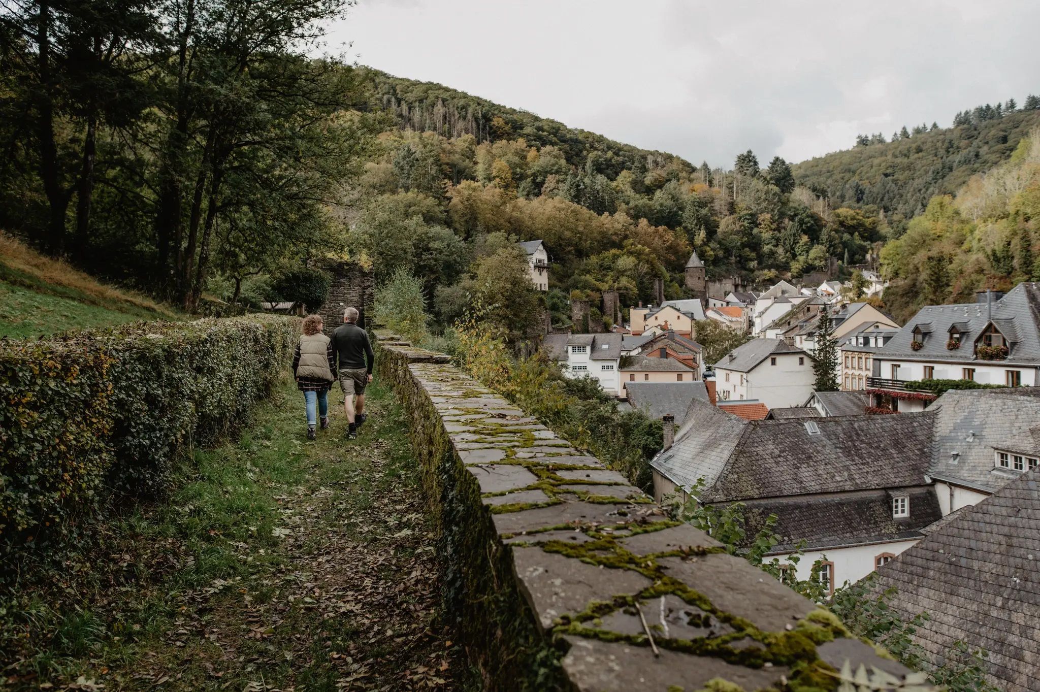
Enjoy the silence – autumn and winter hiking in Luxembourg
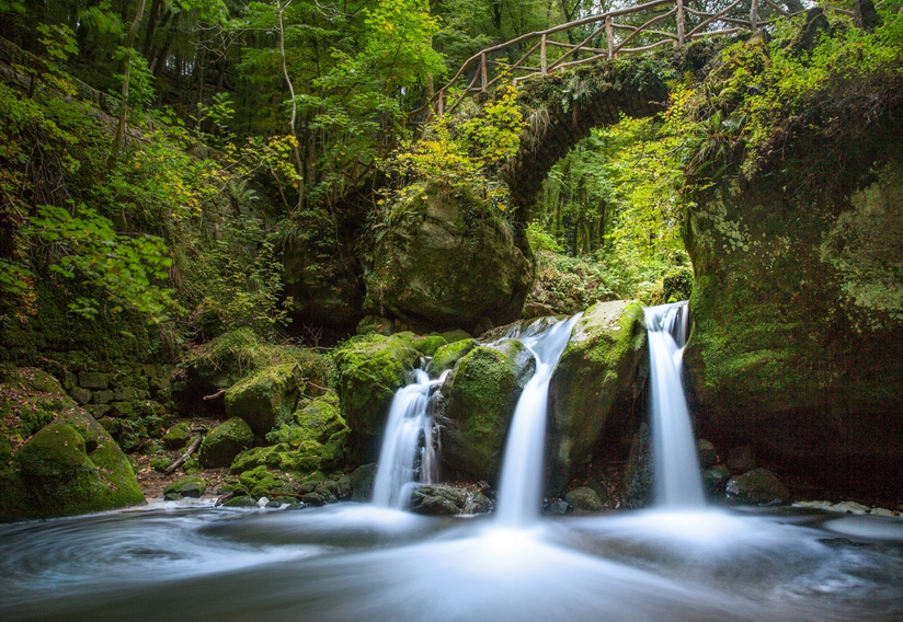
Mullerthal Trail - The most beautiful routes across Luxembourg's Little Switzerland
Hiking in Grevenmacher Canton
Cycling in Grevenmacher Canton
Road Cycling Routes in Grevenmacher Canton
MTB Trails in Grevenmacher Canton
Running Trails in Grevenmacher Canton

Gravel biking in Grevenmacher Canton


Tips from the Community

The amphitheater "Breechkaul" was established in 1979 in a rock hollowed out in the Middle Ages for the extraction of millstones. In summer, well-attended concerts of all kinds are held there. Known and loved far beyond the borders is the "Berdorfer Hubertusmesse" (Haupeschmass) on the first Sunday after November 2nd at 10:45 AM. (Regio Mullerthal)
4
0
The original wooden structure was washed away by heavy floods in June 2018. A new, flood-safe bridge of approximately 38 meters has now been installed.
4
0
On this part of the rock faces is the only climbing area in the sandstone landscape. Climbing is only permitted for members of recognized climbing associations.
6
0
The romantic gorge of the Ruetsbech will not be easily forgotten. Incredibly beautiful and also a bit mysterious. Enjoy it.
7
0
Under the overhang rock there is a bench. Ideal place to shelter here in case of rain and/or to eat/drink something.
5
0
This tourist center in Mullerthal is the right place for anyone who wants to know more about the hiking possibilities in this region and further in Luxembourg. It is located in a former mill, which was completely renovated. In 2009, the mill was reopened as a Tourist Center under the leadership of the "Syndicat d'Initiative du Tourisme de la commune de Waldbillig". Since then, the center has offered a wide range of information and various events. Several hikes start from this location. There is ample parking, toilets, an adventurous playground for children, and a brasserie.
6
0

Beautiful small stone towers that hikers leave there.
0
0

Beautiful view. Rough rock formations that hike is really worth it.
0
0
Frequently Asked Questions
What makes mountaineering in Grevenmacher Canton unique?
Grevenmacher Canton, often called Luxembourg's "Little Switzerland," is characterized by its distinctive sandstone formations, deep canyons, and impressive rock walls. While not high-alpine, the routes offer challenging experiences with steep ascents, descents, and rocky scrambles, providing a unique blend of adventure reminiscent of mountaineering.
Are there any easy mountaineering routes suitable for beginners?
Yes, there are routes suitable for beginners. For instance, the Predigtstuhl (Preacher's Chair) rock formation – Binzeltschlüff loop from Berdorf is a moderate 3.7-mile (5.9 km) path that navigates through distinctive rock formations and narrow passages, offering a great introduction to the region's terrain.
What kind of challenging routes can I expect in Grevenmacher Canton?
For those seeking a challenge, Grevenmacher Canton offers several difficult routes. The Tränenlay Tufa Cave – View from the Adlerhorst Cliff loop from Berdorf is a demanding 19.1-mile (30.8 km) trail that takes you through varied terrain, including a tufa cave and cliff views, often requiring about 8 hours and 42 minutes to complete. Other challenging options include routes with significant elevation changes and rocky scrambles.
Are there any circular mountaineering routes available?
Yes, many of the mountaineering routes in Grevenmacher Canton are designed as circular loops, allowing you to start and end at the same point. Examples include the Labyrinth Rock Formations – Huel Lee (Hohllay Cave) loop from Echternach and the Eulenburg Rock Formation – Goldfralay Rock Formations loop from Waldbillig.
Can I bring my dog on the mountaineering trails?
While specific regulations for dogs can vary by trail and protected area, many trails in Grevenmacher Canton are generally dog-friendly, especially if your dog is well-behaved and kept on a leash. However, some sections, particularly those with narrow passages, steep scrambles, or ladders, might be challenging for dogs. Always check local signage and ensure your dog is comfortable with rocky terrain.
Are there any family-friendly mountaineering options?
For families, routes that are shorter and less strenuous, but still offer the unique rock formations, are ideal. The Predigtstuhl (Preacher's Chair) rock formation – Binzeltschlüff loop from Berdorf is a moderate 3.7-mile (5.9 km) trail that could be suitable for active families, offering an immersive experience through natural stone labyrinths without excessive difficulty.
What natural features or landmarks can I explore along these routes?
The region is rich in natural wonders. You can explore impressive sandstone formations like the Michelslay Rock Formation, navigate through the narrow passages of the Wollefsschlucht (Wolf Gorge), or discover the unique rock formations of the Priedegtstull (The Pulpit). Some routes also pass by waterfalls, such as the Cascade Waterfall (Müllerthal), and deep gorges like Donverbach Gorge Forest.
What do other mountaineers enjoy most about the trails in Grevenmacher Canton?
The trails in Grevenmacher Canton are highly rated by the komoot community, with an average score of 4.7 stars from over 90 reviews. Reviewers often praise the unique sandstone formations, the adventurous rock scrambles, and the beautiful, varied landscapes that make the region feel like a 'Little Switzerland'.
Are there any routes that feature waterfalls?
Yes, some routes incorporate beautiful waterfalls. The Cascade Waterfall (Müllerthal) – Beautiful rock formations ⛰️⛰️ loop from Waldbillig is a moderate 10.9-mile (17.5 km) route that specifically highlights a waterfall, offering a refreshing natural spectacle amidst the rocky landscape. You can also find other waterfalls like the Kelsbaach Waterfall in the region.
What is the best time of year to go mountaineering in Grevenmacher Canton?
The best time for mountaineering in Grevenmacher Canton is typically during spring, summer, and autumn. Spring offers lush greenery and blooming flora, while autumn provides stunning fall colors. Summer is also popular, but it's advisable to start early to avoid the midday heat. Winter can be beautiful, but some rocky sections might become slippery or icy, requiring extra caution and appropriate gear.
Are there any routes that explore caves or narrow passages?
Absolutely! The region is famous for its unique geological features, including caves and very narrow rock passages. The Hexelee Cave – Drachelay Narrow Rock Passage loop from Medernach is a difficult 14.8-mile (23.8 km) route that specifically takes you through such formations. Additionally, the Kuelscheier rock group features a dark, narrow rock tunnel that offers an adventurous, exploratory experience.
How many mountaineering routes are available in Grevenmacher Canton?
There are over 10 distinct mountaineering routes available in Grevenmacher Canton, ranging from moderate to difficult. These routes allow you to explore the region's unique sandstone formations, deep rock gorges, and dense woodlands.
Most popular routes in Grevenmacher Canton
Most popular attractions in Grevenmacher Canton

Get inspired with the komoot mobile app


Didn’t find what you were looking for?
Check out more Mountain Hikes & Routes throughout Grevenmacher Canton below and find the perfect route in your destination.
Explore more
Browse the best Mountain Hikes & Routes in other regions.
