The best road cycling routes around Tromborn
4.5
(64)
1,652
riders
190
rides
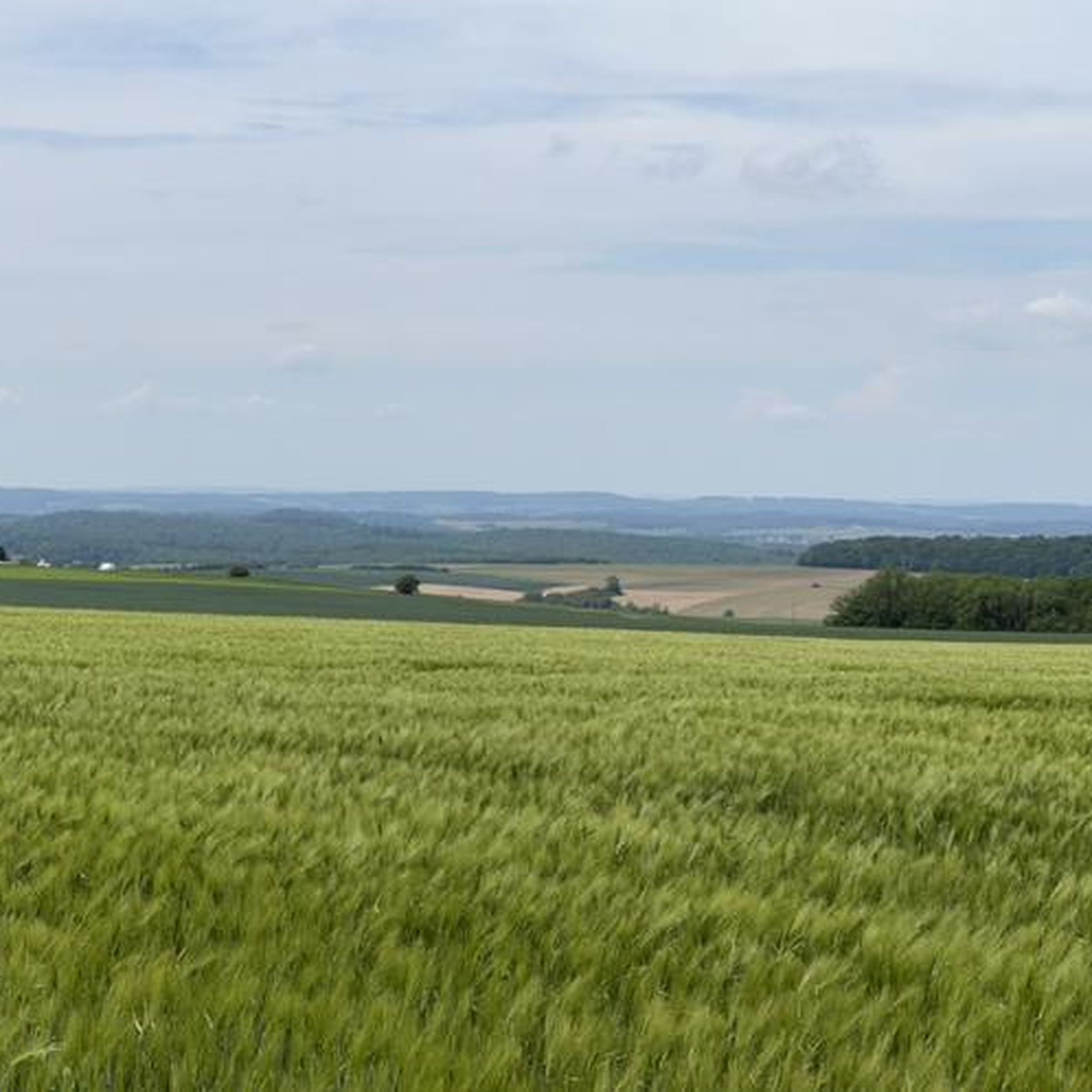
Road cycling routes around Tromborn traverse a landscape characterized by rolling hills, open valleys, and stretches of agricultural land. The region features varied terrain with moderate elevation changes, suitable for road cyclists seeking diverse routes. Roads often wind through forested areas and past small villages, offering a mix of open and sheltered sections. The highest points encountered on routes are typically under 200 meters, classifying them as hills rather than mountains.
Best road cycling routes around Tromborn
- The most popular…
Last updated: May 25, 2026
5.0
(4)
31
riders
55.9km
02:30
460m
460m
Moderate road ride. Good fitness required. Some segments of this route may be unpaved and difficult to ride.
5.0
(3)
13
riders
61.0km
02:33
330m
330m
Moderate road ride. Good fitness required. Mostly well-paved surfaces and easy to ride.

Sign up for free
5.0
(1)
11
riders
64.0km
03:21
780m
780m
Moderate road ride. Good fitness required. Some segments of this route may be unpaved and difficult to ride.
3.7
(3)
11
riders
64.5km
02:50
520m
520m
Moderate road ride. Good fitness required. Mostly well-paved surfaces and easy to ride.
7
riders
66.6km
03:03
620m
620m
Moderate road ride. Good fitness required. Mostly well-paved surfaces and easy to ride.
Get access to more routes and recommendations from other explorers.
Sign up for free
Already have an account?
Our route recommendations are based on thousands of hikes, rides, and runs completed by other people on komoot.
Start today with a free account
Your next adventure awaits.
Login or Signup
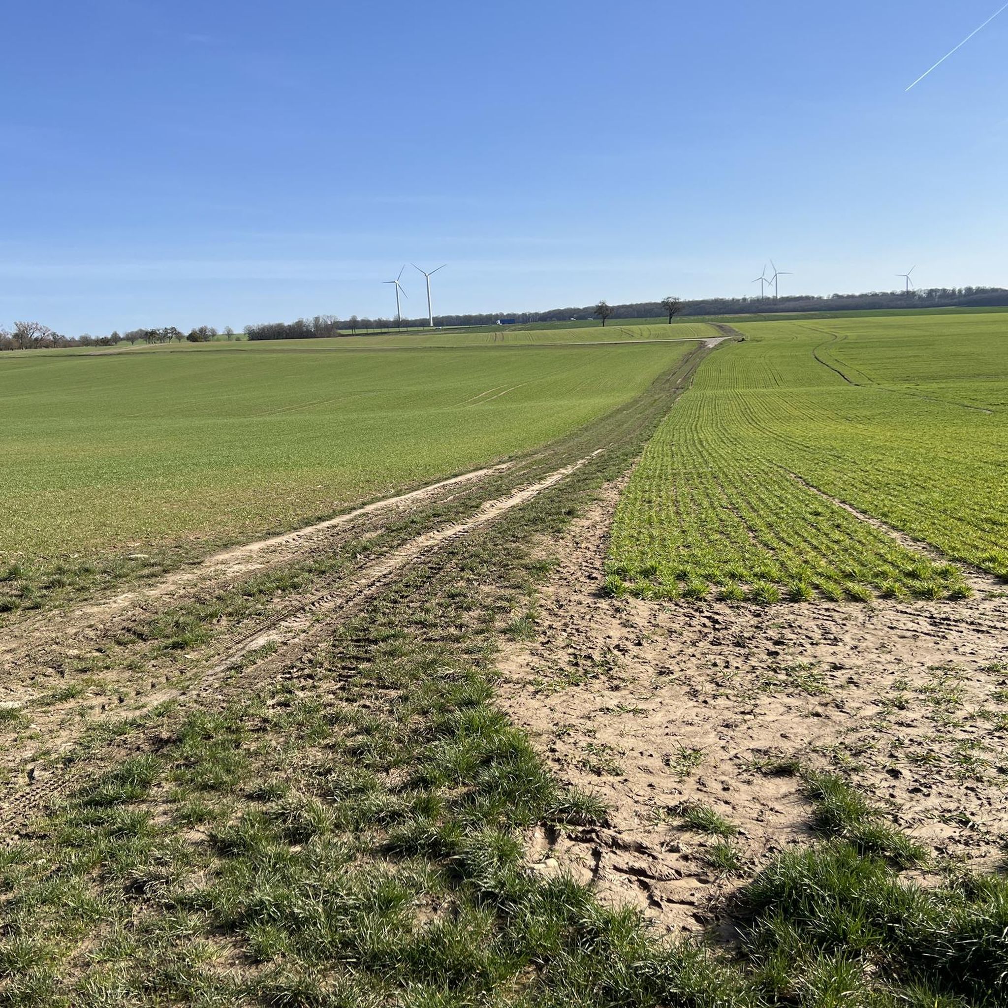
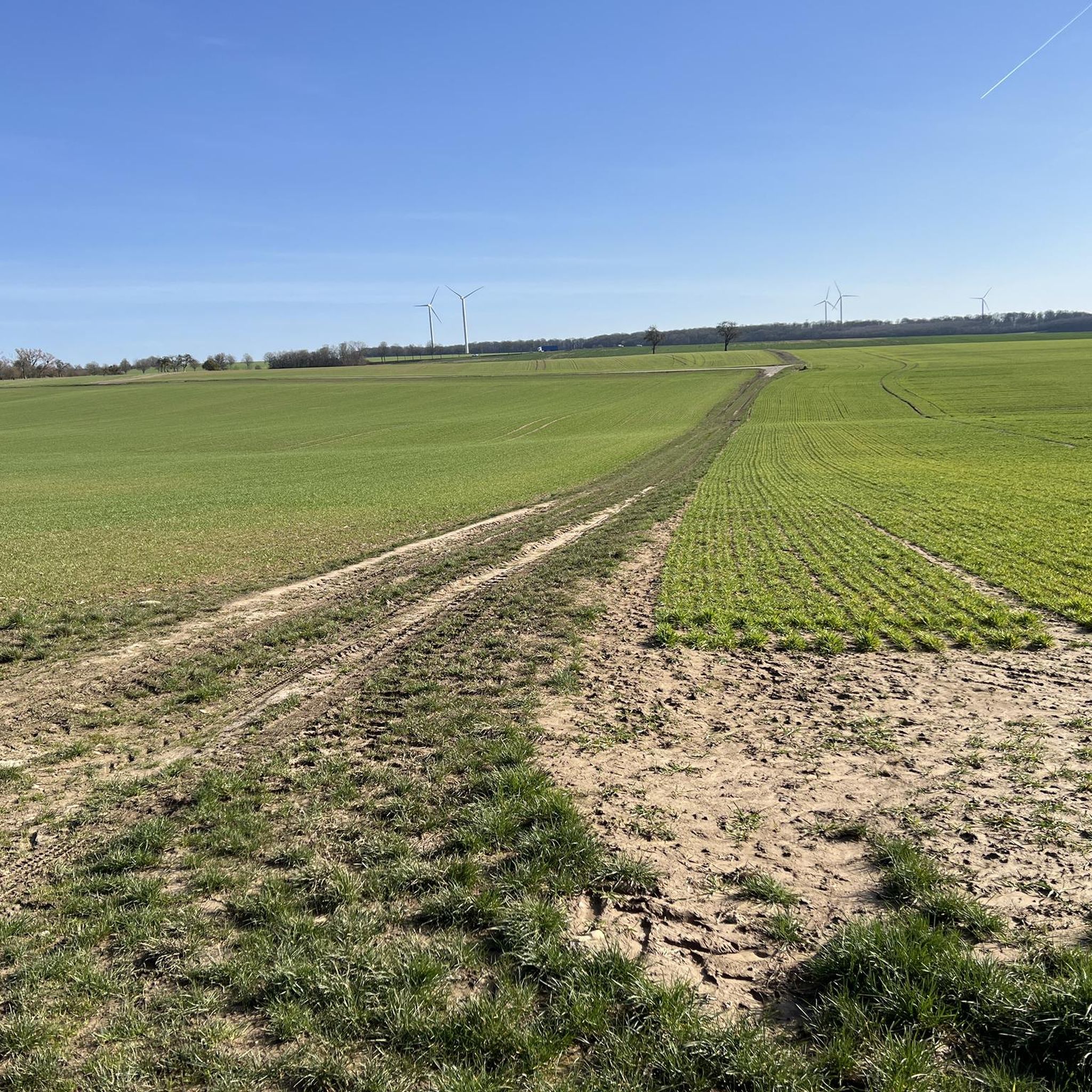
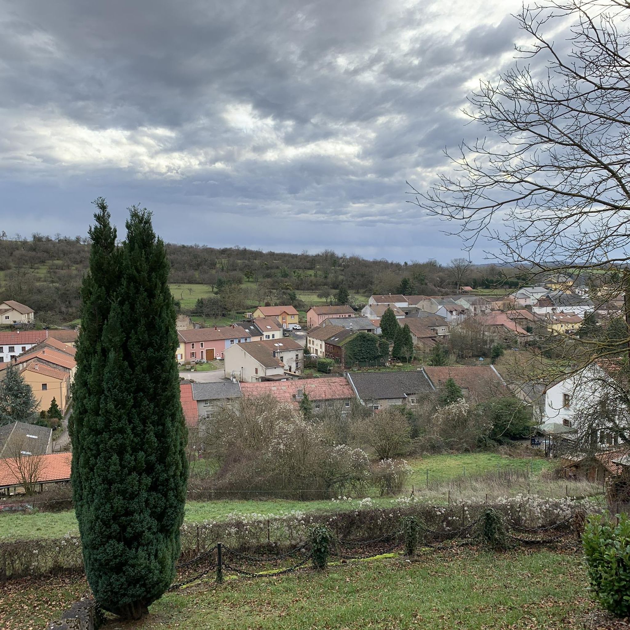
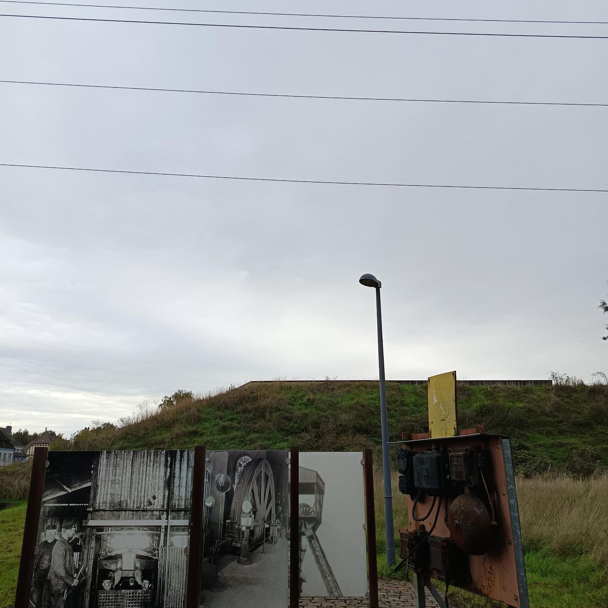
Tips from the Community

A detour is currently signposted here towards Ensdorf.
0
0

⛪ **Saint-Croix Abbey in Bouzonville – Monastic Tradition with a Rich History** The **Saint-Croix Abbey** in **Bouzonville** is one of the oldest monastic complexes in the region. Founded in the **11th century**, it was a spiritual center between the Moselle and Saar rivers for centuries. The Romanesque-Gothic architecture of the monastery church has been rebuilt and restored several times, but its origins remain. 📜 After its dissolution during the French Revolution, the monastery was partially destroyed but later returned to religious use. Today, it is inhabited by a **Benedictine community** that welcomes visitors. **Tip:** The simple, spiritual atmosphere of the complex invites you to pause for a moment. Ideal for a quiet stroll or a quick visit to the monastery shop – featuring handmade products made by the nuns.
0
0

Bring a small, foldable backpack! In spring, you'll find super-fresh dandelions straight from the fields from farmer Kunzler in Bisten. He also has delicious Palatinate asparagus and other delicious vegetables. In the very early months, there's homegrown lamb's lettuce from next door.
2
0

Very nice bike ride, lots of wind today, but also lots of fun.
1
0

During the renovation, cannons dating back to the Franco-Prussian War of 1870/71 were placed on the exterior of the German Gate. One of them was found in the mud during the construction of the Saaraltarm recreation area; the other was purchased. Both cannons were manufactured by Krupp. Source: Wikipedia
1
0

Great way to cool down on hot days. But unfortunately no drinking water.
0
0

The Karlsbrunn hunting lodge is a small castle in the Karlsbrunn district of Großrosseln. It is part of the SaarPfalz Baroque Route and is a listed building.
2
0

One building that testifies to Saarlouis as a fortress town is the German Gate. It forms the entrance to the city center and leads to the Great Market, the former parade ground. After the Battle of Waterloo, Saarlouis fell to the Prussians on December 1, 1815, who built casemates to the right and left of the German Gate (also on the sides of the French Gate, 450 meters away) from 1824 to 1829. These earth-covered vaults served as bullet-proof quarters for soldiers and horses during enemy attacks, but also as command posts. In peacetime, they were used as storage rooms for weapons and provisions. As traffic increased, the German Gate was demolished in 1886. In 1969, the casemate extensions to the right and left of the street were built as pedestrian passages. Today, the casemates east of Deutsche Straße house numerous restaurants. Opposite the German Gate was the provisions store, built between 1819 and 1822, which today serves as a warehouse for a department store. On the left outside of the gate, there are clear signs of the reconstruction of the building with the golden Prussian royal crown and the Prussian coat of arms, both of which are reminiscent of the Prussian period after 1815: From 1969 onwards, a historicizing ensemble with passages for pedestrians was built at the old location of the German Gate - without reference to the historical model. The buildings were decorated with cannons and coats of arms, thus conveying a certain historical character. The cannons date from the Franco-Prussian War of 1870/71, which once adorned the war memorial at today's administrative court. Source: https://www.kuladig.de/Objektansicht/KLD-354059
3
0
Frequently Asked Questions
How many road cycling routes are available around Tromborn?
There are over 170 road cycling routes around Tromborn, offering a wide variety of options for different skill levels and preferences.
What kind of terrain can I expect on road cycling routes in Tromborn?
The region features rolling hills, open valleys, and stretches of agricultural land. You'll encounter moderate elevation changes, with roads winding through forested areas and past small villages. The highest points are typically under 200 meters, making for manageable climbs.
Are there easy road cycling routes suitable for beginners in Tromborn?
Yes, Tromborn offers 23 easy road cycling routes. A great option for a relaxed ride is the Rost-Haus – Gisingen Little Free Library loop from Vœlfling-lès-Bouzonville, an 11.8-mile (19.0 km) trail with gentle gradients.
What are the options for moderate road cycling routes in Tromborn?
The majority of routes in Tromborn, 138 to be exact, are classified as moderate. These routes feature varied terrain with some climbs, passing through rural landscapes. An example is the Bisten - Boucheporn link – Enge Gasse loop from Vœlfling-lès-Bouzonville, a 38.5-mile (62.0 km) path.
Are there any challenging road cycling routes for experienced cyclists?
Yes, for more experienced cyclists seeking a challenge, there are 17 difficult routes available. These routes will offer more significant climbs and longer distances to test your endurance.
What is the best season for road cycling around Tromborn?
Given the rolling hills and open landscapes, spring and autumn are generally ideal for road cycling in Tromborn, offering pleasant temperatures and beautiful scenery. Summer can also be enjoyable, though some routes might be more exposed to the sun. Winters can bring challenging conditions, so check forecasts if planning a ride then.
Are there any scenic viewpoints or natural attractions along the road cycling routes?
Yes, the region offers natural beauty. You can find highlights such as the Travertine Steps on the Idesbach Trail or the Pastorsgrät Gorge. There are also several lakes, including Taffing Pond and the ASV Ihn-Leidingen Pond Recreation Area, which can be found near some routes.
Are the road cycling routes in Tromborn typically loop routes?
Many of the road cycling routes around Tromborn are designed as loops, allowing you to start and finish at the same point. For example, the War Memorial for the Fallen – Linslerhof loop from Vœlfling-lès-Bouzonville is a popular 29.7-mile (47.8 km) circular route.
What do other road cyclists say about the routes in Tromborn?
The road cycling routes in Tromborn are highly rated by the komoot community, with an average score of 4.5 stars from over 50 reviews. Cyclists often praise the varied terrain, quiet country roads, and scenic views through fields and wooded sections.
Are there any routes that pass by historical or cultural landmarks?
Yes, some routes will take you past local points of interest. For instance, the Notre-Dame de Rabas Chapel – Charlemagne Spring loop from Dalem is a moderate 63.9 km route that includes cultural landmarks.
Can I find cafes or places to stop for refreshments along the routes?
While specific cafes are not listed for every route, many routes pass through small villages where you may find local establishments. The Wackenmühle Riverside Inn and Waterfall is an example of a place that offers refreshments in a scenic setting.
What is the typical length and duration of road cycling routes in Tromborn?
Route lengths vary significantly, from shorter easy rides like the 11.8-mile (19.0 km) Rost-Haus – Gisingen Little Free Library loop taking about 1 hour, to longer moderate routes such as the 38.5-mile (62.0 km) Bisten - Boucheporn link – Enge Gasse loop, which can take over 2 hours.
Most popular attractions around Tromborn

Get inspired with the komoot mobile app


Explore more
Browse the best Road cycling routes in other regions.
