The best walks and hikes around Memersbronn
4.6
(325)
1,258
hikers
181
hikes
Hiking around Memersbronn offers routes through a landscape characterized by rolling terrain, open fields, and historical sites. The region features moderate elevation changes, providing varied walking experiences. Trails often pass through agricultural areas and offer views of the surrounding countryside.
Best hiking trails around Memersbronn
- The most popular hiking route is View of Sources aux Lièvres – Maginot Line loop from Boucheporn, a 9.6 miles (15.5 km) trail that takes 4 hours 16 minutes to complete, exploring historical fortifications…
Last updated: July 9, 2026
4.7
(6)
50
hikers
15.5km
04:16
260m
260m
Moderate hike. Good fitness required. Easily-accessible paths. Suitable for all skill levels.
4.7
(3)
17
hikers
12.1km
03:21
210m
210m
Moderate hike. Good fitness required. Easily-accessible paths. Suitable for all skill levels.

Sign up for free
7
hikers
7.76km
02:06
110m
110m
Moderate hike. Good fitness required. Easily-accessible paths. Suitable for all skill levels.
6
hikers
12.6km
03:26
180m
180m
Moderate hike. Good fitness required. Easily-accessible paths. Suitable for all skill levels.
3.0
(1)
7
hikers
17.3km
04:41
240m
240m
Moderate hike. Good fitness required. Easily-accessible paths. Suitable for all skill levels.
Get access to more routes and recommendations from other explorers.
Sign up for free
Already have an account?
Our route recommendations are based on thousands of hikes, rides, and runs completed by other people on komoot.
Start today with a free account
Your next adventure awaits.
Login or Signup
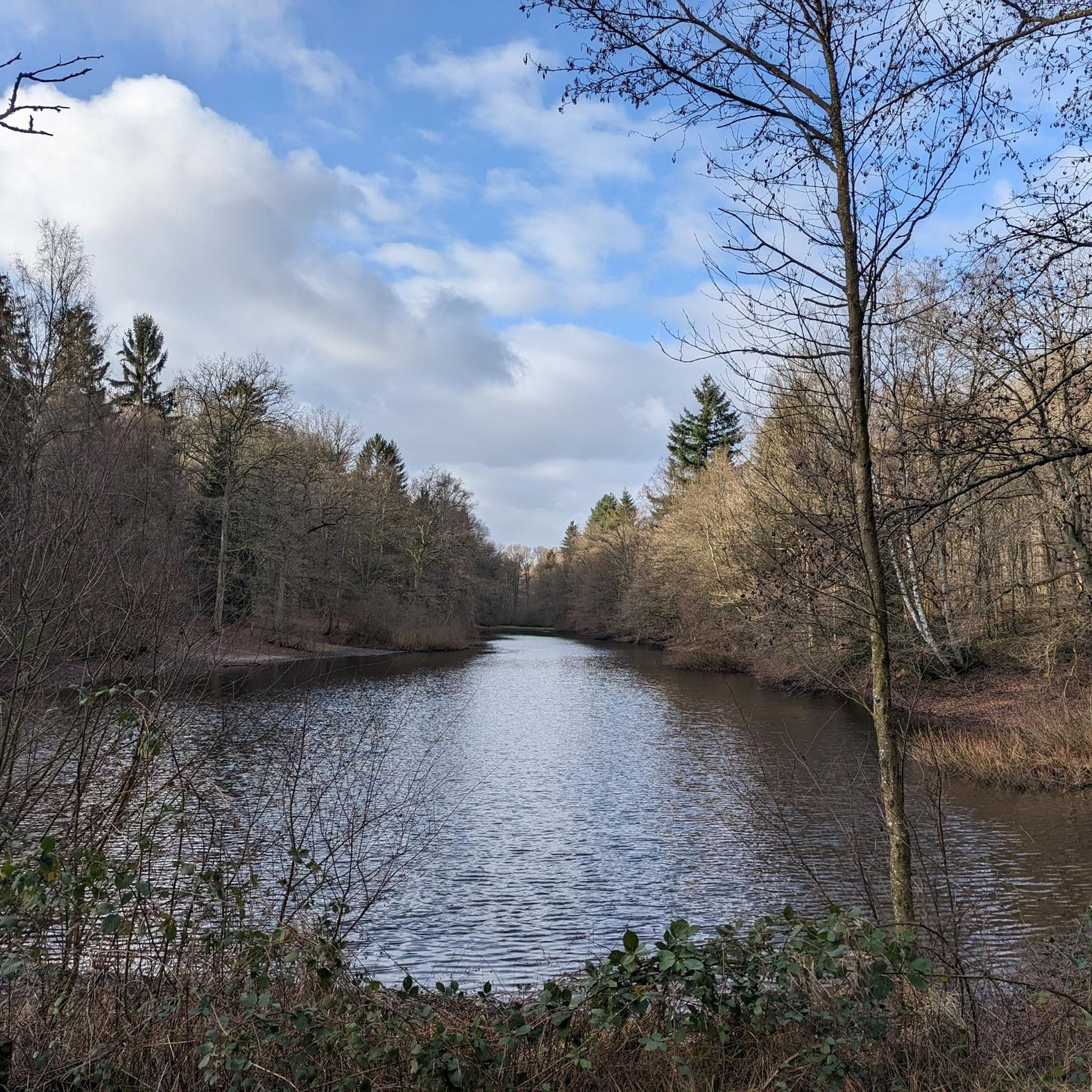
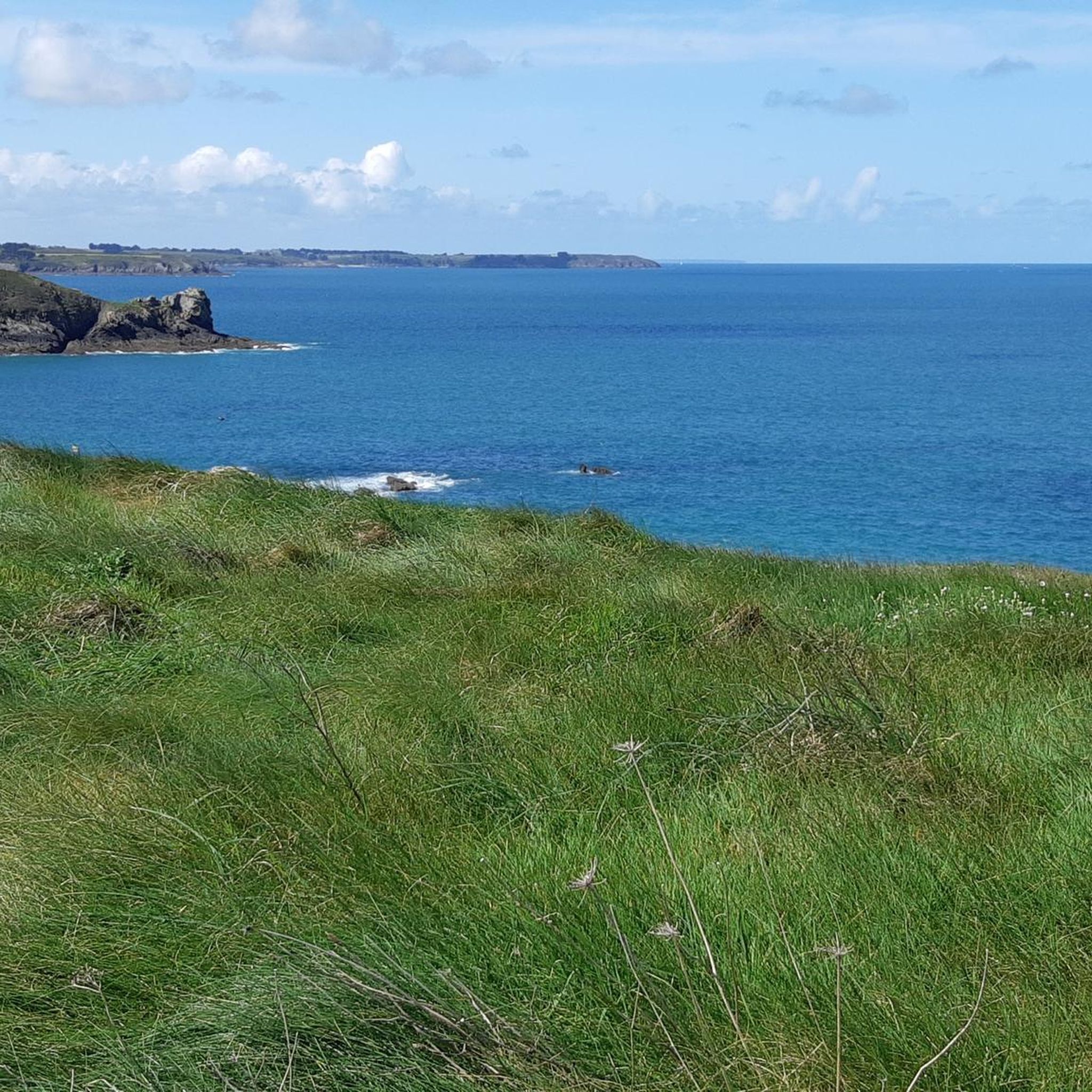
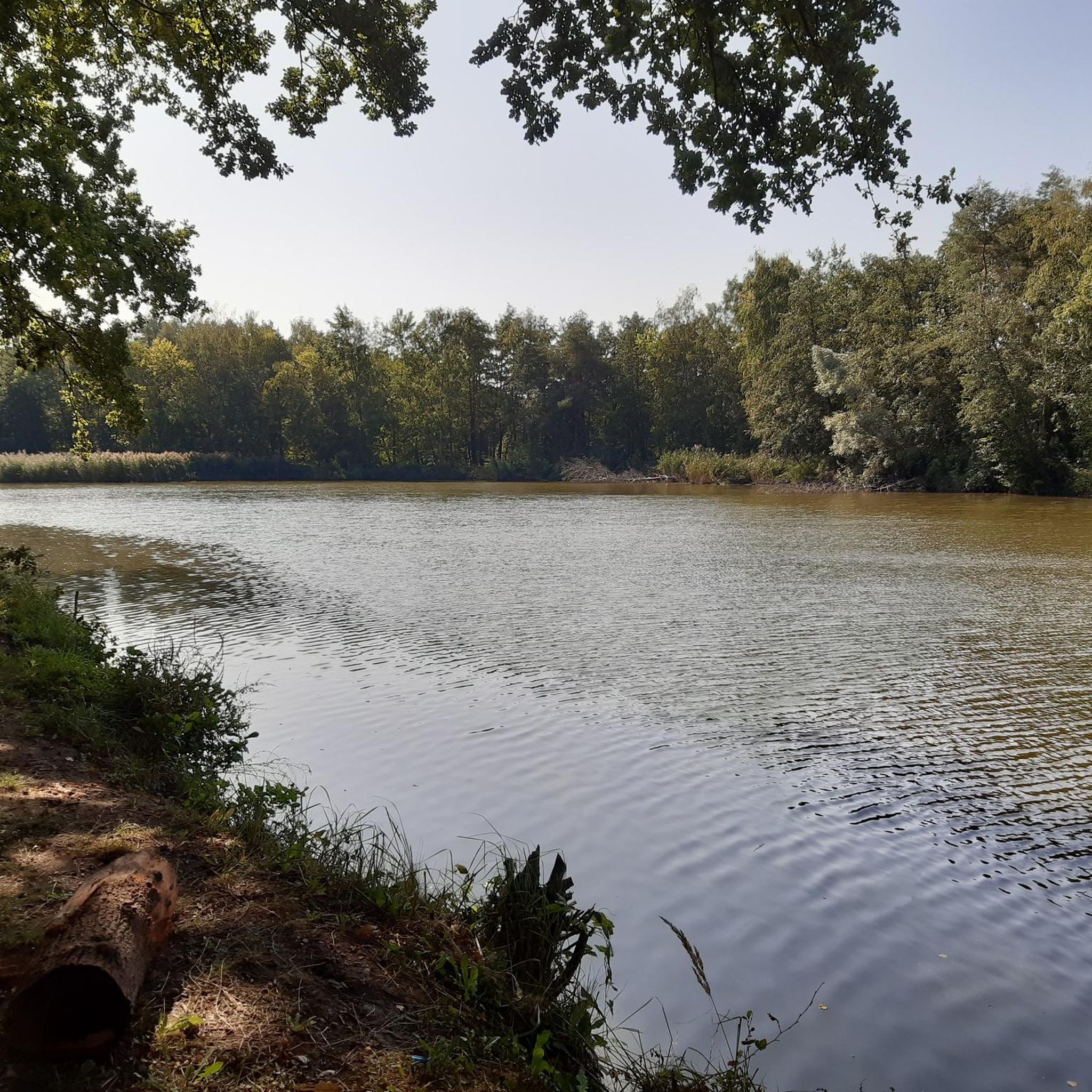
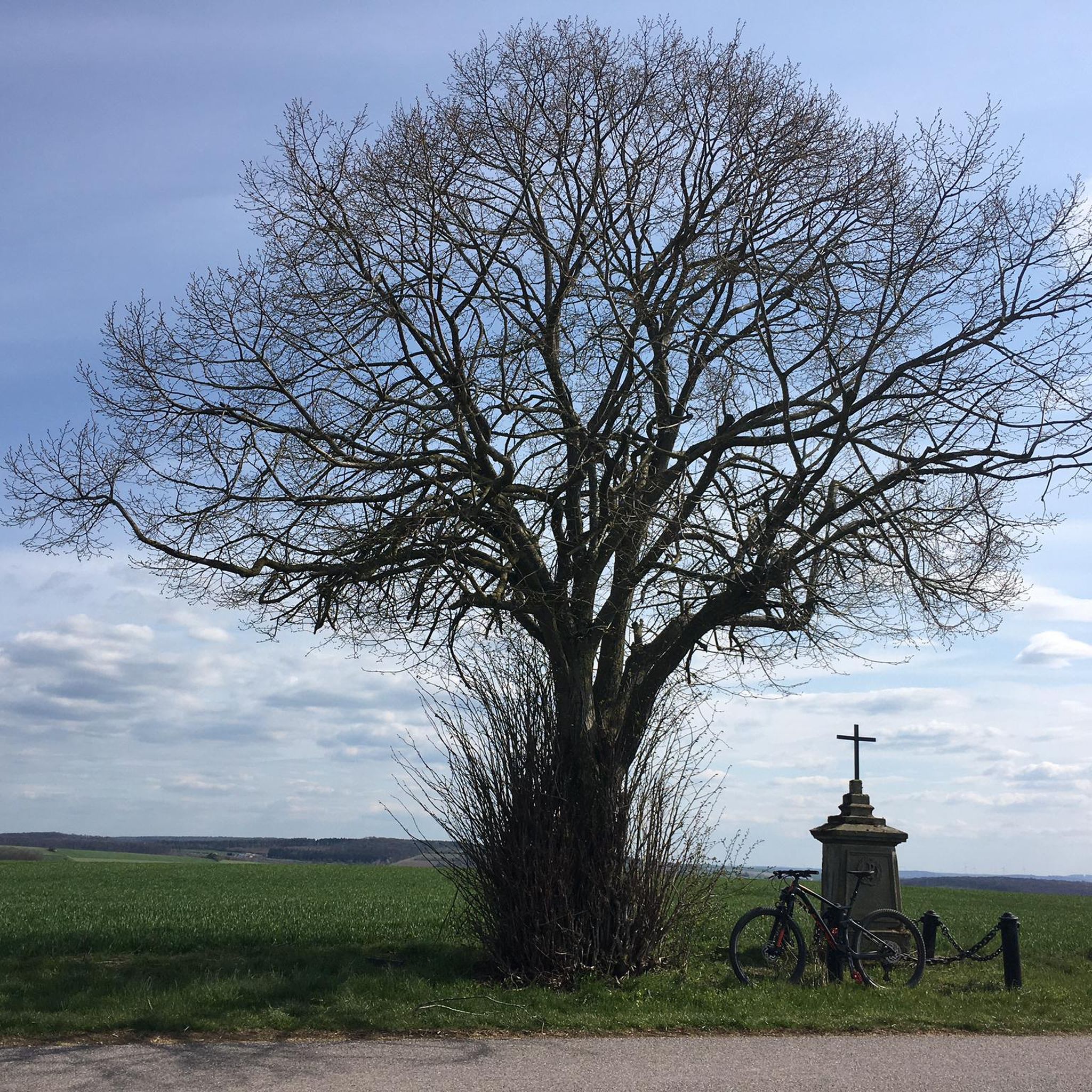
Tips from the Community

The Kerfent fort is a Maginot Line fortification located in the Faulquemont fortified sector in Moselle, not far from the former Zimming security barracks. Its name originates from a wood located north of National Route 3. Along with its neighbor, the Bambesch wood, it defended this important passage against a potential invasion. According to Marshal Pétain, this was "the heart of the Maginot Line." However, despite the fifteen blocks planned in the initial designs, this fortification was significantly reduced in size due to budget cuts: the artillery blocks, the separate entrance, and the defensive emplacements for a hypothetical anti-tank ditch were eliminated during construction, ultimately resulting in the building of a simple, small infantry fortification. The main construction work (concrete pouring) was completed in 1932.
0
0
The Einseling fortification is a single-block fortified structure of the Maginot Line located in the fortified sector of Faulquemont, between the communes of Bambiderstroff and Longeville-lès-Saint-Avold. Its name comes from the Finselingerberg hill on which it is built. When it was projected by the CORF in the 1930s, the army used old German maps where the Gothic script annotations were misinterpreted: the F in Finseling was transformed into an E.
1
0


The Maginot Line: The French Wall | ARTE https://youtu.be/Bvtxa08ysgc For those who would like to know more about the Maginot Line: de.wikipedia.org/wiki/Liste_der_Ouvrages_der_Maginot-Linie
1
0

An ideal viewpoint to admire the view of the Varsberg.
2
0

This work is part of the fortifications of the infamous Maginot line. It is made up of three combat blocks, one of which serves as the entrance. It is possible to visit the interior two Sundays a month. The opening dates are available on the book's website: https://www.lebambesch.com/visiter-le-bambesch/.
3
0

This section is on the way between the German border and Metz, about 40 km away.
0
0
Frequently Asked Questions
How many hiking trails are available around Memersbronn?
There are over 170 hiking routes around Memersbronn, offering a wide variety of experiences through rolling terrain, open fields, and historical sites.
What do other hikers enjoy most about the trails in Memersbronn?
The trails around Memersbronn are highly rated by the komoot community, with an average score of 4.6 stars from over 200 reviews. Hikers often appreciate the blend of open fields, historical Maginot Line structures, and gentle hills.
Are there easy hiking trails suitable for beginners in Memersbronn?
Yes, Memersbronn offers around 50 easy hiking routes. These trails typically feature minimal elevation changes and are perfect for a relaxed walk.
Are there any challenging hikes for experienced hikers in Memersbronn?
While most routes are moderate, there are a few challenging trails available for those seeking a more strenuous experience. These routes may involve longer distances or more significant elevation gains.
What kind of landscapes can I expect to see while hiking in Memersbronn?
Hiking around Memersbronn offers a landscape characterized by rolling terrain, open fields, and historical sites. You'll often pass through agricultural areas and enjoy views of the surrounding countryside, including structures from the Maginot Line.
Are there any circular hiking routes in Memersbronn?
Yes, many of the trails around Memersbronn are designed as circular routes, allowing you to start and end at the same point. For example, the View of the Countryside loop from Boucheporn is a popular moderate circular path.
What historical sites can I explore along the hiking trails?
The region is rich in history, particularly with structures from the Maginot Line. You can explore sites like the Maginot Line itself, or the Ouvrage de l'Einseling – Maginot Line Bunker 36 Castelberg. The Bambesch – Ouvrage de Bambesch loop from Zimming is a great option to discover historical fortifications.
Are there any specific attractions or points of interest near the hiking routes?
Beyond the historical sites, you can also find natural points of interest like the View of the Bisten. For cultural landmarks, consider visiting the Croix de Porcelette.
How long do hikes in Memersbronn typically take?
Hiking durations vary significantly. Easy routes might take around 1-2 hours, while moderate trails like the View of Sources aux Lièvres – Maginot Line loop from Boucheporn can take over 4 hours to complete.
Are the hiking trails in Memersbronn suitable for families?
Yes, many of the easier and moderate trails are suitable for families. The gentle hills and open fields provide a pleasant environment for walks with children. Always check the specific route's distance and elevation to ensure it matches your family's fitness level.
Can I bring my dog on the hiking trails in Memersbronn?
Generally, dogs are welcome on hiking trails in the region. However, it's always advisable to keep them on a leash, especially when passing through agricultural areas or near livestock, and to respect local regulations regarding pets.
Are there any hikes that pass by cafes or places to eat?
While specific routes with integrated cafes are not explicitly highlighted, many trails pass through or near villages like Boucheporn and Zimming, where you may find local establishments for refreshments. Planning your route with komoot allows you to identify such points of interest.
What is the best time of year to go hiking in Memersbronn?
The spring, summer, and autumn months generally offer the most pleasant conditions for hiking in Memersbronn, with mild temperatures and vibrant scenery. Autumn provides beautiful colors in the agricultural landscapes. Winter hiking is possible, but trails may be muddy or icy, so appropriate gear is recommended.
Most popular routes around Memersbronn
Most popular attractions around Memersbronn

Get inspired with the komoot mobile app


Explore more
Browse the best Hikes in other regions.
