The best walks and hikes around Niederwiese
4.6
(456)
2,002
hikers
225
hikes
Hiking around Niederwiese offers a diverse landscape characterized by gentle hills, dense woodlands, and open countryside. The region features a network of well-maintained trails that traverse varied terrain, including forested paths and scenic viewpoints. Elevation changes are generally moderate, making many routes accessible for different fitness levels.
Best hiking trails around Niederwiese
- The most popular hiking route is Miner Man – Picnic in the forest loop from Guerting, a 6.6 miles (10.6 km) trail that takes about 2 hours…
Last updated: July 5, 2026
4.8
(15)
40
hikers
10.6km
02:52
140m
140m
Moderate hike. Good fitness required. Easily-accessible paths. Suitable for all skill levels.
4.7
(3)
17
hikers
12.1km
03:21
210m
210m
Moderate hike. Good fitness required. Easily-accessible paths. Suitable for all skill levels.

Sign up for free
7
hikers
7.76km
02:06
110m
110m
Moderate hike. Good fitness required. Easily-accessible paths. Suitable for all skill levels.
3.0
(1)
6
hikers
8.96km
02:26
120m
120m
Moderate hike. Good fitness required. Easily-accessible paths. Suitable for all skill levels.
4.0
(1)
7
hikers
9.88km
02:38
110m
110m
Moderate hike. Good fitness required. Easily-accessible paths. Suitable for all skill levels.
Get access to more routes and recommendations from other explorers.
Sign up for free
Already have an account?
Our route recommendations are based on thousands of hikes, rides, and runs completed by other people on komoot.
Start today with a free account
Your next adventure awaits.
Login or Signup
Tips from the Community

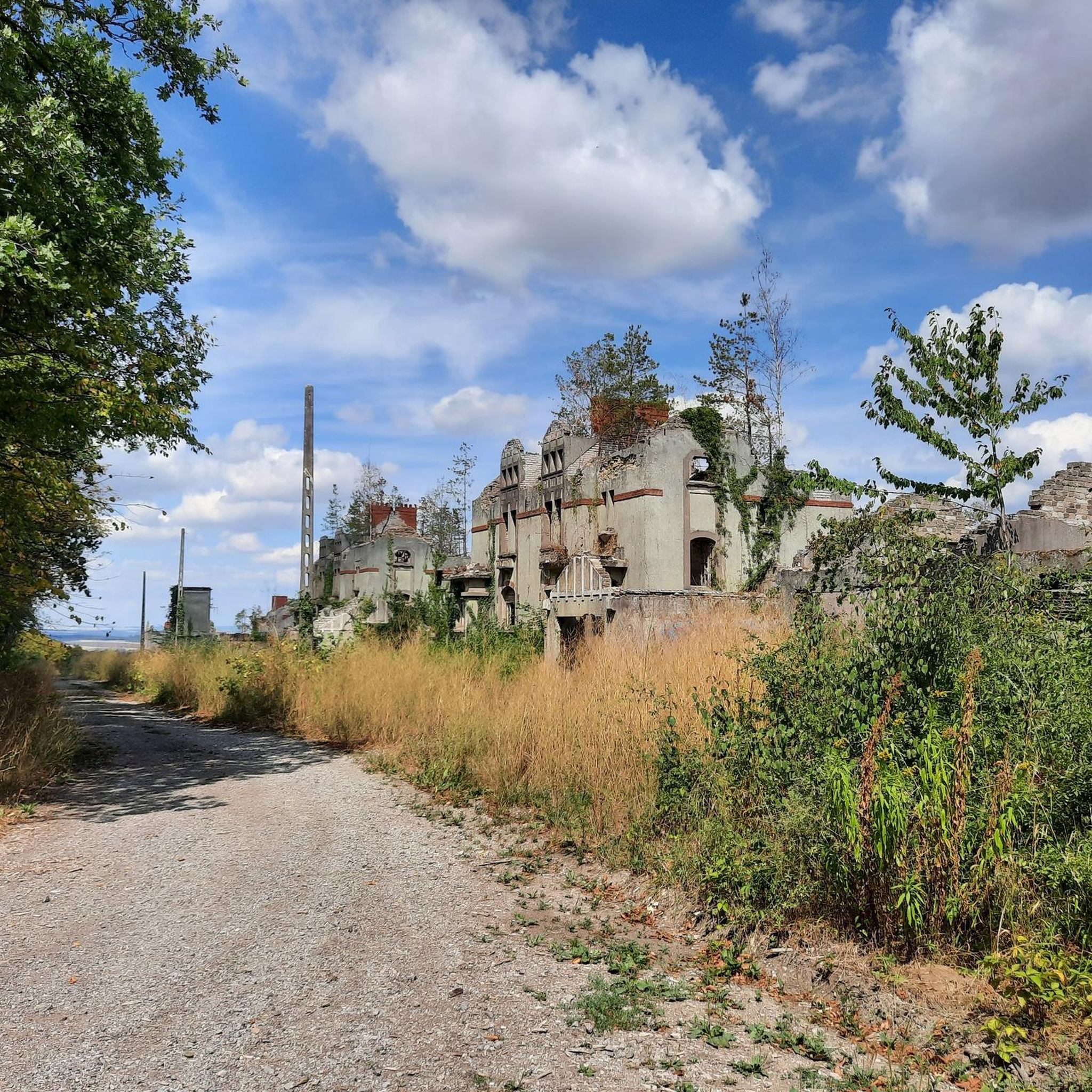
The Kerfent fort is a Maginot Line fortification located in the Faulquemont fortified sector in Moselle, not far from the former Zimming security barracks. Its name originates from a wood located north of National Route 3. Along with its neighbor, the Bambesch wood, it defended this important passage against a potential invasion. According to Marshal Pétain, this was "the heart of the Maginot Line." However, despite the fifteen blocks planned in the initial designs, this fortification was significantly reduced in size due to budget cuts: the artillery blocks, the separate entrance, and the defensive emplacements for a hypothetical anti-tank ditch were eliminated during construction, ultimately resulting in the building of a simple, small infantry fortification. The main construction work (concrete pouring) was completed in 1932.
0
0

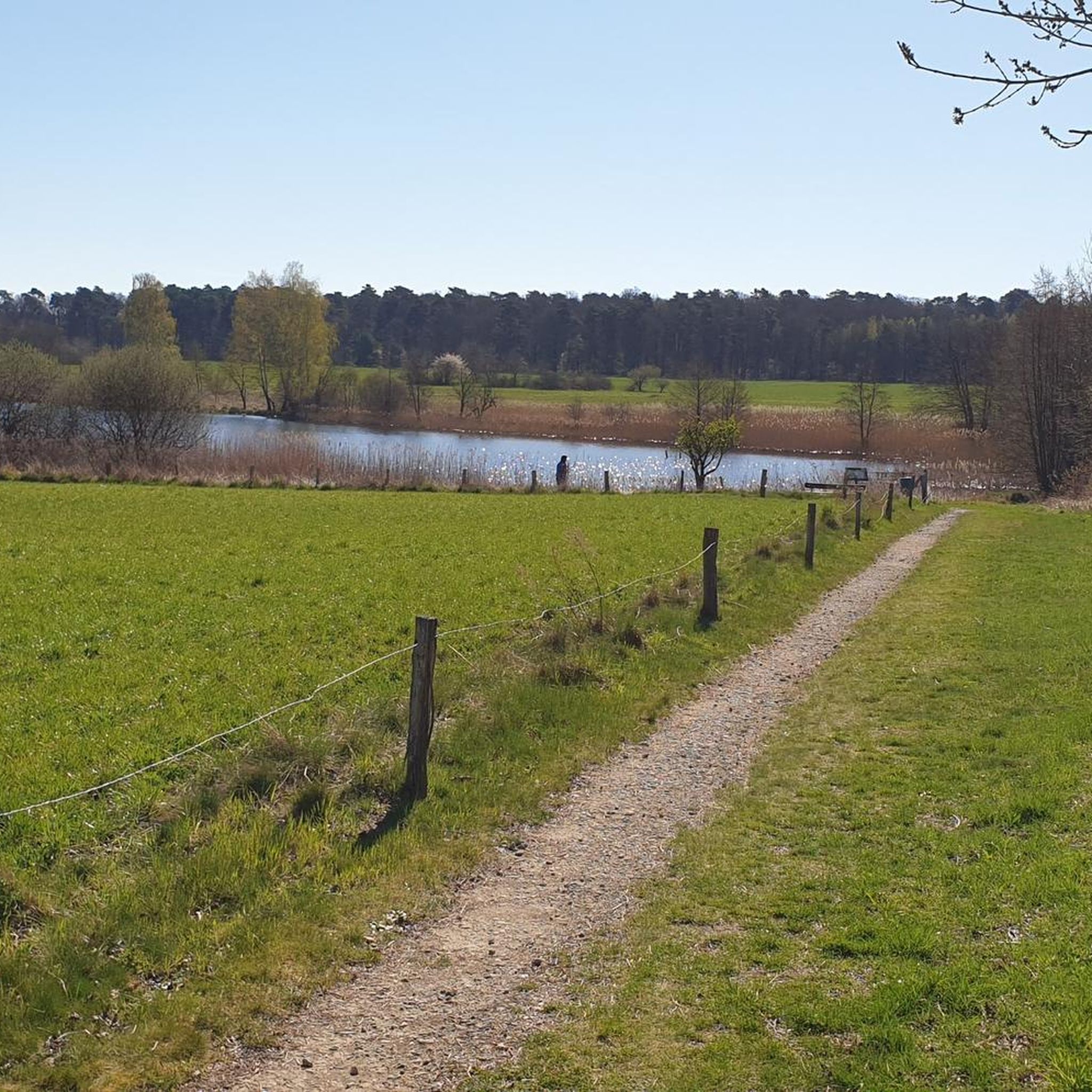
Very beautiful viewpoint and ideal for a break
1
0

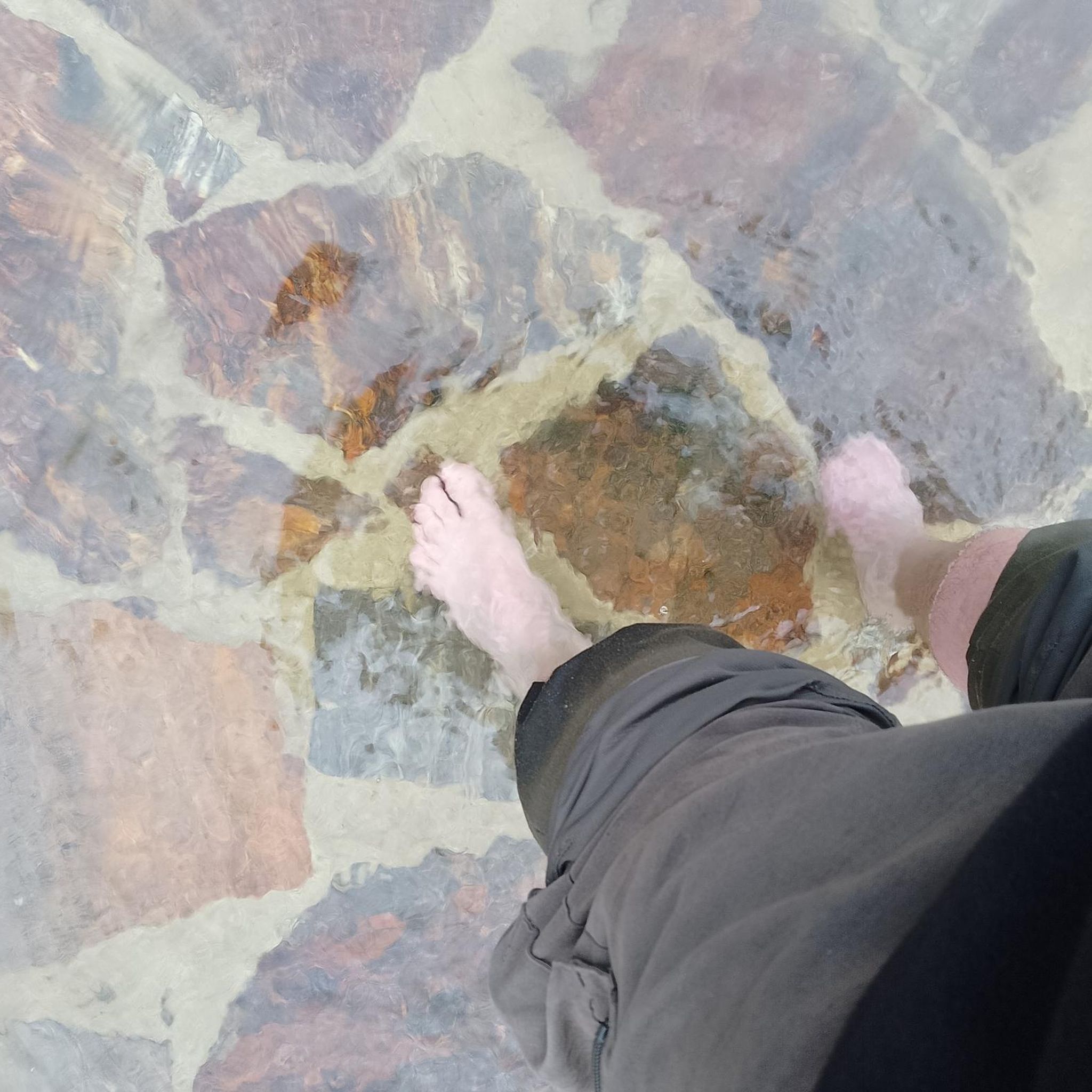
The route allows you to access the source of the Halberg by following the markings. A good spot to cool off.
0
0

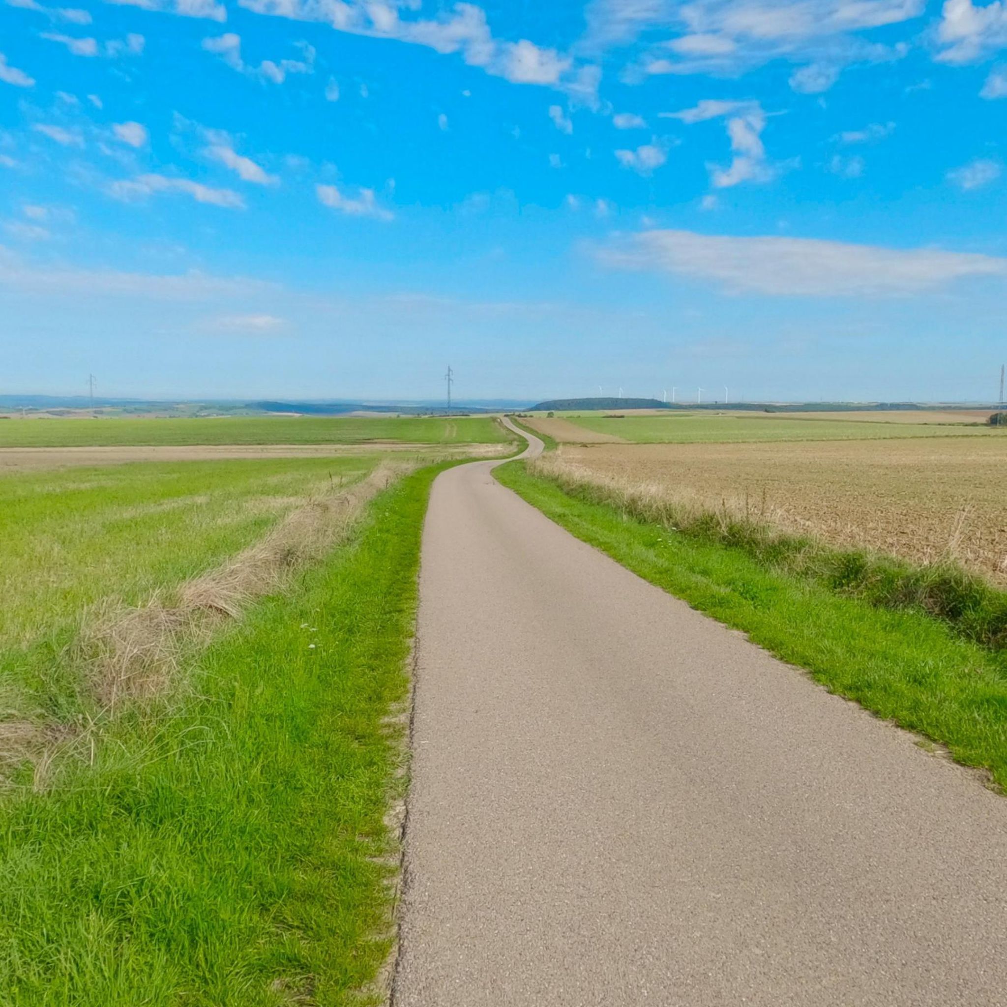
An ideal viewpoint to admire the view of the Varsberg.
2
0
This work is part of the fortifications of the infamous Maginot line. It is made up of three combat blocks, one of which serves as the entrance. It is possible to visit the interior two Sundays a month. The opening dates are available on the book's website: https://www.lebambesch.com/visiter-le-bambesch/.
3
0
Frequently Asked Questions
How many hiking trails are available around Niederwiese?
There are over 200 hiking routes around Niederwiese, offering a diverse range of experiences. This includes approximately 70 easy trails, 138 moderate routes, and a few more challenging options.
Are there family-friendly hiking options in Niederwiese?
Yes, Niederwiese offers many family-friendly hikes. The region's gentle hills and moderate elevation changes make many of the 70 easy routes suitable for families with children. These trails often lead through woodlands and open fields, providing a pleasant outdoor experience.
What kind of terrain can I expect on hikes around Niederwiese?
Hiking around Niederwiese is characterized by rolling hills, extensive forests, and open fields. You'll find a mix of well-maintained paths traversing varied terrain, from forested tracks to scenic viewpoints. Elevation changes are generally moderate, making the area accessible for various fitness levels.
Are there any circular hiking routes in Niederwiese?
Yes, many of the trails in Niederwiese are circular routes, perfect for day trips. For example, the View of the Countryside loop from Boucheporn is a popular moderate circular path offering expansive views, and the Bambesch – Ouvrage de Bambesch loop from Zimming combines woodlands with historical sites.
What do other hikers enjoy most about the trails in Niederwiese?
The hiking trails in Niederwiese are highly rated by the komoot community, with an average score of 4.6 stars from over 350 reviews. Hikers often praise the peaceful forested areas, the well-maintained paths, and the diverse scenery that includes both woodlands and open countryside.
Are dogs allowed on the hiking trails in Niederwiese?
Generally, dogs are welcome on most hiking trails in Niederwiese. It's always a good idea to keep your dog on a leash, especially in nature protection areas or when passing through agricultural land, and to respect local regulations.
Are there any scenic viewpoints or landmarks to see along the trails?
Yes, several trails offer scenic views, such as the View of the Countryside loop from Boucheporn. You can also explore historical sites like the Maginot Line or visit the Croix de Porcelette, which are accessible from various routes.
Where can I find parking near the hiking trailheads?
While specific parking details vary by trailhead, areas like Parc de la Bisten are known to offer parking facilities, providing convenient access to nearby trails. It's advisable to check the starting point of your chosen route for the most accurate parking information.
What is the best season for hiking in Niederwiese?
Niederwiese offers enjoyable hiking experiences throughout the year. Spring brings lush greenery and blooming wildflowers, while autumn showcases vibrant foliage. Summer is ideal for long days on the trails, and even winter can be beautiful for crisp walks, though conditions should be checked for ice or snow.
Are there any longer, more challenging hikes available?
Yes, for those seeking a greater challenge, Niederwiese also features some more difficult routes. An example is the Cassier la Houve – Picnic in the forest loop from Guerting, which is an 18.3 km (11.4 miles) trail with over 400 meters of elevation gain, taking approximately 5 hours 14 minutes to complete.
Can I access the hiking trails using public transport?
Information regarding direct public transport access to specific trailheads in Niederwiese is not extensively detailed. It is generally recommended to use personal transport to reach the starting points of most hiking routes in the region.
What should I pack for a day hike in Niederwiese?
For a day hike in Niederwiese, it's advisable to pack essentials such as water, snacks, appropriate footwear, and layers of clothing suitable for varying weather conditions. A map or GPS device is also recommended, along with sun protection and a basic first-aid kit.
Most popular routes around Niederwiese
Most popular attractions around Niederwiese

Get inspired with the komoot mobile app


Explore more
Browse the best Hikes in other regions.
