The best running trails around Villers-Stoncourt
4.7
(22)
1,063
runners
127
runs
Jogging around Villers-Stoncourt offers diverse landscapes within the Rhin-Meuse basin, characterized by a mix of natural features. The region features a network of stream valleys formed by waterways like the Elvon, Hemilly, and Malroy, alongside extensive agricultural fields in the Pays des Nieds. Runners can explore varied altitudes, ranging from 224 to 328 meters, providing gentle ascents and descents. Dense woodlands, such as the Forêt de Remilly, offer shaded trails, while the broader Lorraine Regional Natural Park provides a wealth…
Last updated: July 5, 2026
7
runners
7.90km
00:51
60m
60m
Moderate run. Good fitness required. Mostly paved surfaces. Suitable for all skill levels.
4
runners
14.3km
01:32
110m
110m
Moderate run. Good fitness required. Mostly paved surfaces. Suitable for all skill levels.

Sign up for free
5
runners
11.3km
01:11
100m
100m
Moderate run. Good fitness required. Mostly paved surfaces. Suitable for all skill levels.
3
runners
12.1km
01:19
190m
190m
Moderate run. Good fitness required. Mostly paved surfaces. Suitable for all skill levels.
3
runners
10.9km
01:11
160m
160m
Moderate run. Good fitness required. Mostly paved surfaces. Suitable for all skill levels.
Get access to more routes and recommendations from other explorers.
Sign up for free
Already have an account?
Our route recommendations are based on thousands of hikes, rides, and runs completed by other people on komoot.
Start today with a free account
Your next adventure awaits.
Login or Signup
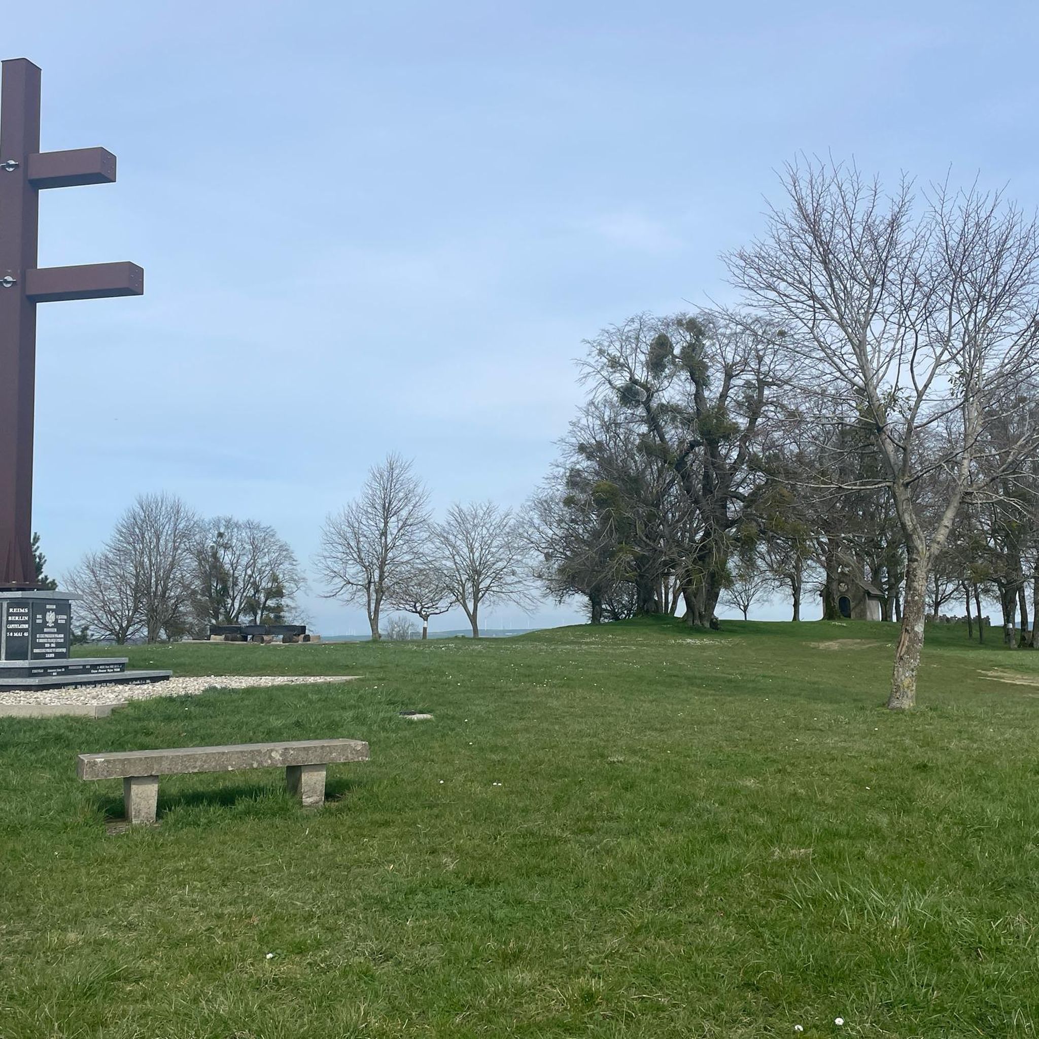
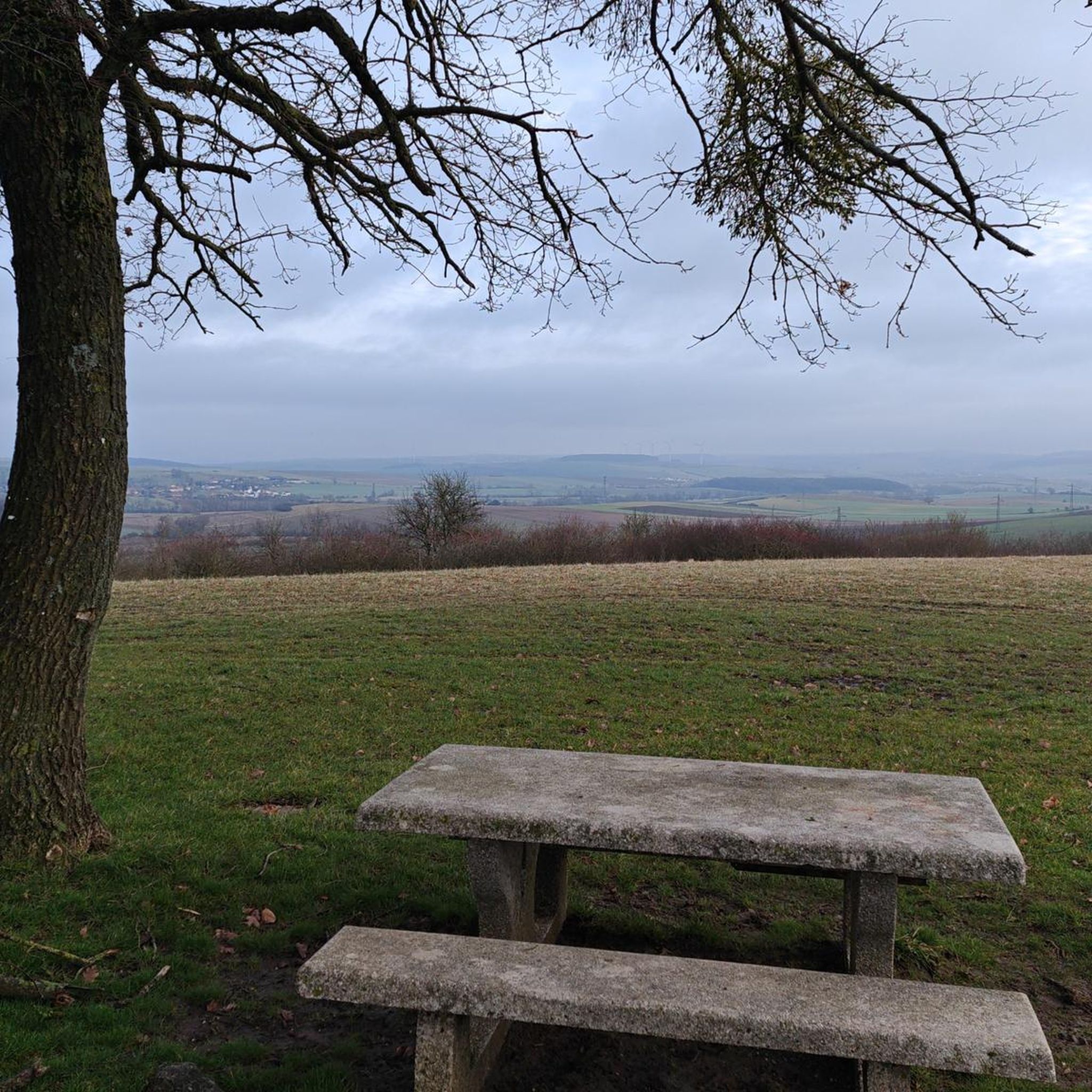
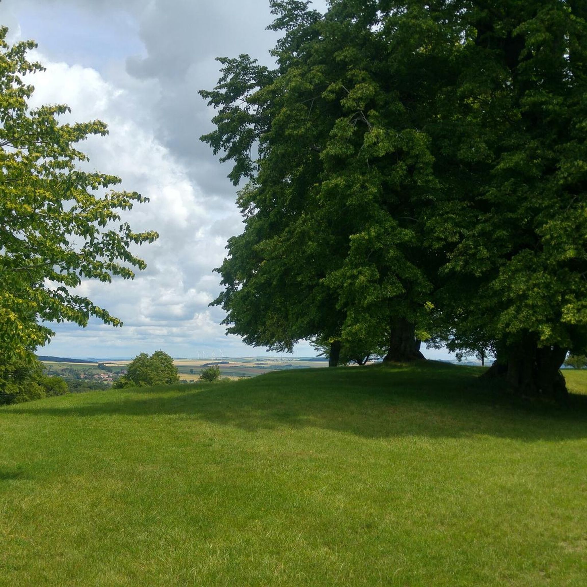

Tips from the Community

Frequently Asked Questions
What kind of terrain can I expect on running routes around Villers-Stoncourt?
The region offers a diverse mix of natural features. You'll find routes through dense woodlands like the Forêt de Remilly, tranquil stream valleys formed by waterways such as the Elvon, Hemilly, and Malroy, and open agricultural fields within the Pays des Nieds. The terrain includes varied altitudes, ranging from 224 to 328 meters, providing gentle ascents and descents suitable for all levels of runners.
Are there many running routes available in Villers-Stoncourt?
Yes, komoot features over 130 running routes around Villers-Stoncourt. This extensive network ensures a wide variety of options for runners of all abilities, from easy paths to more challenging trails.
What are the difficulty levels of the running trails in this area?
The running routes around Villers-Stoncourt cater to various fitness levels. You'll find approximately 10 easy routes, nearly 100 moderate routes, and about 24 difficult trails, ensuring there's a suitable option whether you're a beginner or an experienced runner.
Can I find circular running routes in Villers-Stoncourt?
Absolutely! Many of the running routes in the area are circular. For example, you can enjoy the Running loop from Maizeroy, which is a popular 7.9 km trail, or the longer Bois de Féy loop from Rémilly, covering 14.3 km through shaded forest trails.
Are there any historical landmarks or points of interest along the running trails?
Yes, you can combine your run with some sightseeing. Notable attractions include the historic Pange Castle, which is a focal point for several popular loop trails. You might also encounter the Mont Saint-Pierre viewpoint or the Domangeville Bridge Monument on certain routes.
What do other runners think about the trails in Villers-Stoncourt?
The running routes in Villers-Stoncourt are highly regarded by the komoot community, with an average score of 4.8 stars from over 15 reviews. More than 1000 runners have explored the varied terrain, often praising the diverse landscapes and well-maintained paths.
Are there any shaded routes, especially for warmer days?
Yes, the region boasts dense woodlands that provide excellent shaded trails. The Forêt de Remilly, near Aoury, is a significant natural highlight offering tranquil, shaded environments. Additionally, routes like the Bois de Féy loop from Rémilly lead directly through shaded forest areas.
Can I find running routes that are suitable for families?
While specific 'family-friendly' designations aren't always explicit, the presence of numerous easy and moderate routes, combined with gentle ascents and descents, makes many trails suitable for families. Look for shorter, less challenging loops, especially those that pass by points of interest like Pange Castle, to keep younger runners engaged.
Are there any long-distance running options or routes for endurance training?
For endurance training, you can find longer routes such as the Bois de Féy loop from Rémilly, which is 14.3 km. The extensive network within the Lorraine Regional Natural Park, with nearly 500 kilometers of marked paths, also provides ample opportunities to combine routes for longer runs.
What is the typical elevation gain on running routes in Villers-Stoncourt?
The region features varied altitudes between 224 and 328 meters. Most moderate routes, like the Running loop from Lemud (11.3 km), typically have around 100 meters of elevation gain, offering a good balance of challenge without overly steep climbs.
Are there any running routes that offer scenic views?
Many routes provide scenic views, particularly those that traverse the open agricultural fields of the Pays des Nieds or ascend to higher points. The Mont Saint-Pierre loop from Servigny-lès-Raville, for instance, offers views around the Mont Saint-Pierre viewpoint.
Can I find routes that combine forest running with open landscapes?
Yes, the landscape around Villers-Stoncourt is characterized by a blend of wooded areas and open fields, ensuring a constantly changing and engaging running experience. Many routes will take you through both dense forests and expansive agricultural lands, offering a varied backdrop for your run.
Most popular routes around Villers-Stoncourt
Most popular attractions around Villers-Stoncourt

Get inspired with the komoot mobile app


Explore more
Browse the best Running Trails & Routes in other regions.
