The best road cycling routes around Alteglofsheim
4.5
(263)
4,581
riders
265
rides
Road cycling routes around Alteglofsheim are set in a picturesque landscape characterized by rolling hills, forests, and fields, situated near the Naab River. The region offers a well-developed cycling infrastructure with mostly paved surfaces suitable for road bikes. This varied terrain provides options ranging from gentle rides through agricultural land to more challenging routes with moderate elevation changes. Its location on the edge of the Bavarian Forest contributes to diverse natural features along the routes.
Best road cycling routes around…
Last updated: August 20, 2026
4.8
(4)
211
riders
Moderate road ride. Good fitness required. Mostly well-paved surfaces and easy to ride.
4.8
(6)
44
riders
38.1km
01:29
70m
70m
Easy road ride. Great for any fitness level. Mostly well-paved surfaces and easy to ride.

Sign up for free
5.0
(6)
24
riders
44.8km
01:57
310m
310m
Moderate road ride. Good fitness required. Mostly well-paved surfaces and easy to ride.
5.0
(1)
23
riders
50.0km
01:58
180m
180m
Easy road ride. Great for any fitness level. Mostly well-paved surfaces and easy to ride.
19
riders
44.3km
01:58
380m
380m
Moderate road ride. Good fitness required. Mostly well-paved surfaces and easy to ride.
Get access to more routes and recommendations from other explorers.
Sign up for free
Already have an account?
Our route recommendations are based on thousands of hikes, rides, and runs completed by other people on komoot.
Start today with a free account
Your next adventure awaits.
Login or Signup

Tips from the Community

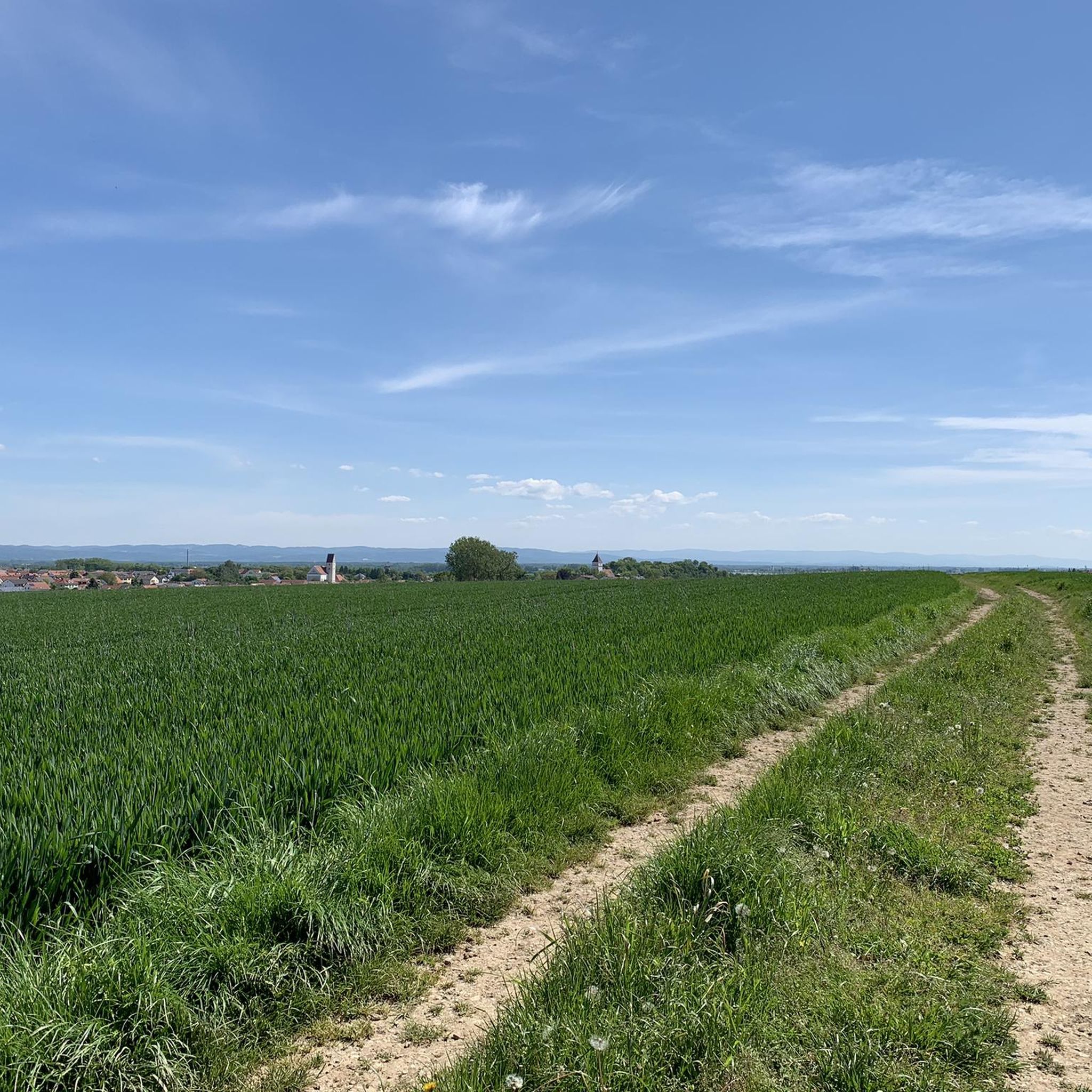
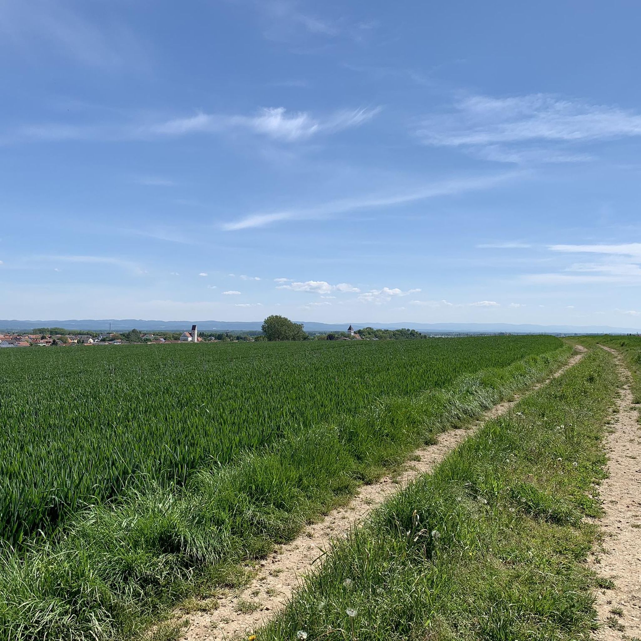
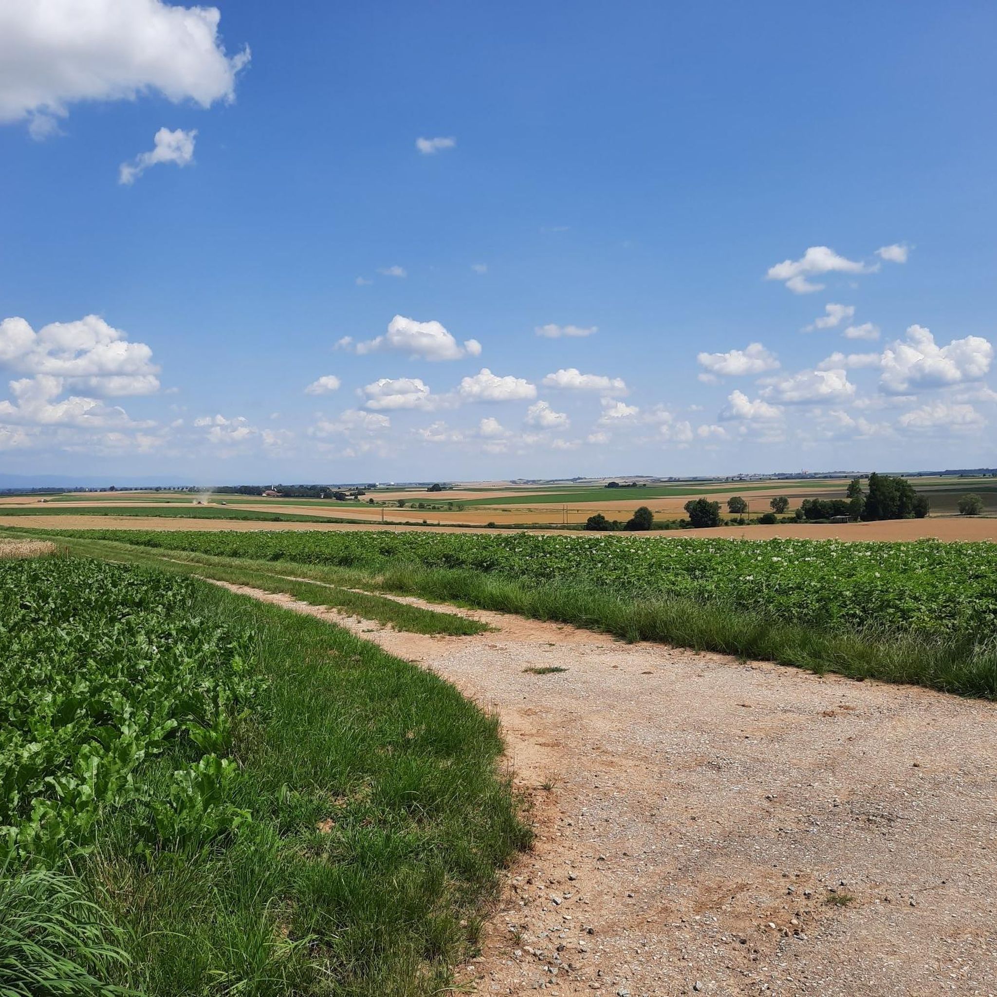
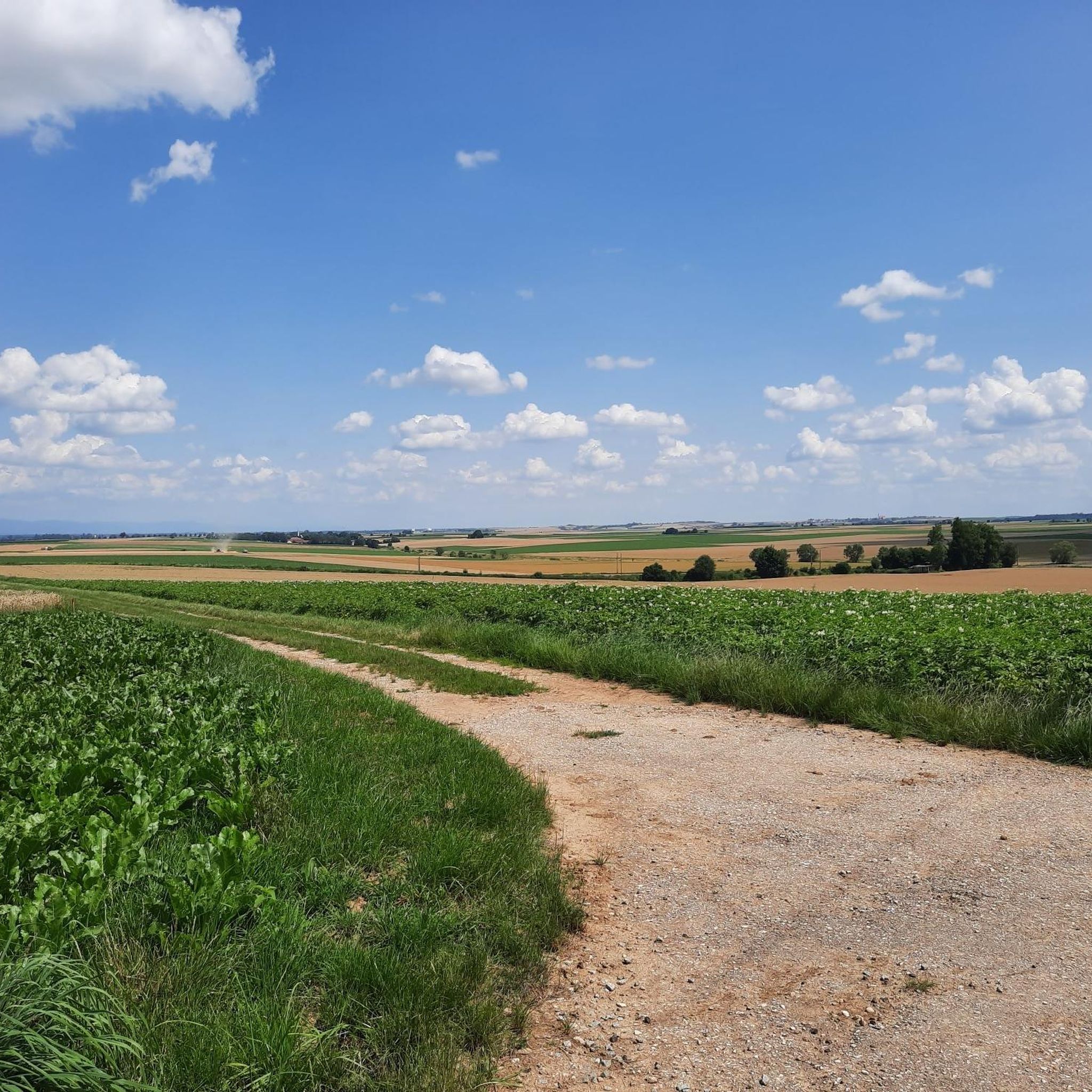
Great quiet route with views
0
0

Attention: The road is closed and not accessible by road bike. The asphalt surface is being replaced. 06.07.25
0
0

Ideally located for a break.
0
0

Here, under the large trees, you can enjoy a pleasant stay even in the blazing sun. The menu is local and varied, the portions are generous, and the food is delicious!
0
0

Good food, friendly and quick service, moderate prices in the beer garden with a view of the Danube. Surprisingly good for a restaurant like this, fully recommended.
0
0

Köfering Castle The first moated castle on the Pfatter was probably built in the 12th century. The Köfering family was first mentioned in the middle of the 12th century. Around 1300, the castle was owned by Eckprecht von Haidau, who gave it to the Bishopric of Regensburg in 1307 in order to receive it as a fief from the bishop. Other owners of the castle were Otto Zenger, Albrecht von Abensberg, Heinrich Nothaft von Mangolding and Scheuer. In 1427, Dietrich von Stauf took over the castle in Köfering by exchange. On December 26, 1491, the Köfering fortress was besieged and destroyed by the Bavarian Duke Albrecht IV with 1,000 soldiers during the Löwler League uprising, in which the castle owner Hieronymus von Stauf took part. The Counts of Lerchenfeld have owned the moated castle since 1569. The castle was damaged in the Thirty Years' War and rebuilt in its current form from 1680 to 1720. Renovation began in 1980/81. The moated castle is an irregular, baroque, three-storey three-wing complex with mansard hipped roofs, an entrance projection with portal, ground floor arcades and a staircase with a mansard hipped roof. The White Hall with inlaid parquet and the chapel are worth seeing. The castle complex consists of a central projection, to which only a north wing is connected. To the west there is another wing with protruding corner projections, and to the south the one-storey former stable building is attached. A three-arched stone bridge leads over the walled moat, which is still preserved, and is the only access to the castle. Source: Excerpts from www.wikipedia.de
3
0

Well-preserved moated castle in the countryside
2
0
At the top of the hill you can see a beautiful tree skyline
0
0
Frequently Asked Questions
How many road cycling routes are available around Alteglofsheim?
There are over 280 road cycling routes around Alteglofsheim, offering a wide variety of options for different preferences and skill levels.
What kind of terrain can I expect on road cycling routes in Alteglofsheim?
The terrain around Alteglofsheim is characterized by a picturesque blend of rolling hills, forests, and fields, with many routes following the scenic Naab River. Most surfaces are paved, making them ideal for road cycling, though some routes might include moderate elevation changes.
Are there road cycling routes suitable for beginners or those looking for an easy ride?
Yes, Alteglofsheim offers 73 easy road cycling routes. An example is the Weeping Willow in Taimering loop from Köfering, which is 38.1 km long with minimal elevation gain, leading through fields and past small villages.
Are there challenging road cycling routes with significant elevation in Alteglofsheim?
Yes, for experienced cyclists, there are 46 difficult routes. The View of the Danube – View of Walhalla loop from Hagelstadt is a challenging 148.5 km path featuring significant elevation gain and panoramic views of the Danube and Walhalla.
What natural features can I see along the road cycling routes?
Many routes offer views of the Naab River and pass by several small lakes such as Guggenberger Lake, Sarchinger Weiher, and Neutraublinger Lake. You might also encounter natural monuments like St. Wolfgang's oak.
Are there any historical landmarks or points of interest accessible by road bike?
Yes, the region is rich in history. You can cycle past historic buildings like Alteglofsheim Castle, which now houses the Bavarian Music Academy, or the parish church of St. John the Baptist. Other points of interest include the Celtic Square Enclosure and the Haus Castle and Ancient Oak Tree.
What do other road cyclists enjoy the most about road cycling in Alteglofsheim?
The road cycling routes around Alteglofsheim are highly rated by the komoot community, with an average score of 4.6 stars from over 190 reviews. Cyclists often praise the varied scenery, well-maintained paved surfaces, and the mix of gentle and challenging routes available.
Are there any circular road cycling routes in the area?
Yes, many routes around Alteglofsheim are designed as loops. For example, the Walhalla Memorial – View of Walhalla loop from Köfering offers a moderate 71.9 km ride, and the St. Stephen's Church Gailsbach loop from Köfering is a 43.8 km moderate route.
What is the best time of year for road cycling in Alteglofsheim?
The warmer months, from spring through early autumn, are generally the best time for road cycling in Alteglofsheim. During this period, the weather is most favorable for enjoying the picturesque landscapes and well-developed cycling infrastructure.
Can I find routes that pass by viewpoints or scenic spots?
Absolutely. The region's rolling hills and proximity to the Danube offer several scenic viewpoints. Routes like the View of the Danube – View of Walhalla loop from Hagelstadt are specifically known for their panoramic vistas.
Are there any road cycling routes that connect to other popular cycling paths?
Yes, the region around Alteglofsheim includes sections of the Naabtal cycle path, allowing for longer rides and connections to a broader network of cycling routes.
Most popular routes around Alteglofsheim
Most popular attractions around Alteglofsheim

Get inspired with the komoot mobile app


Explore more
Browse the best Road cycling routes in other regions.
