The best walks and hikes around La Tagnière
4.6
(463)
1,552
hikers
11
hikes
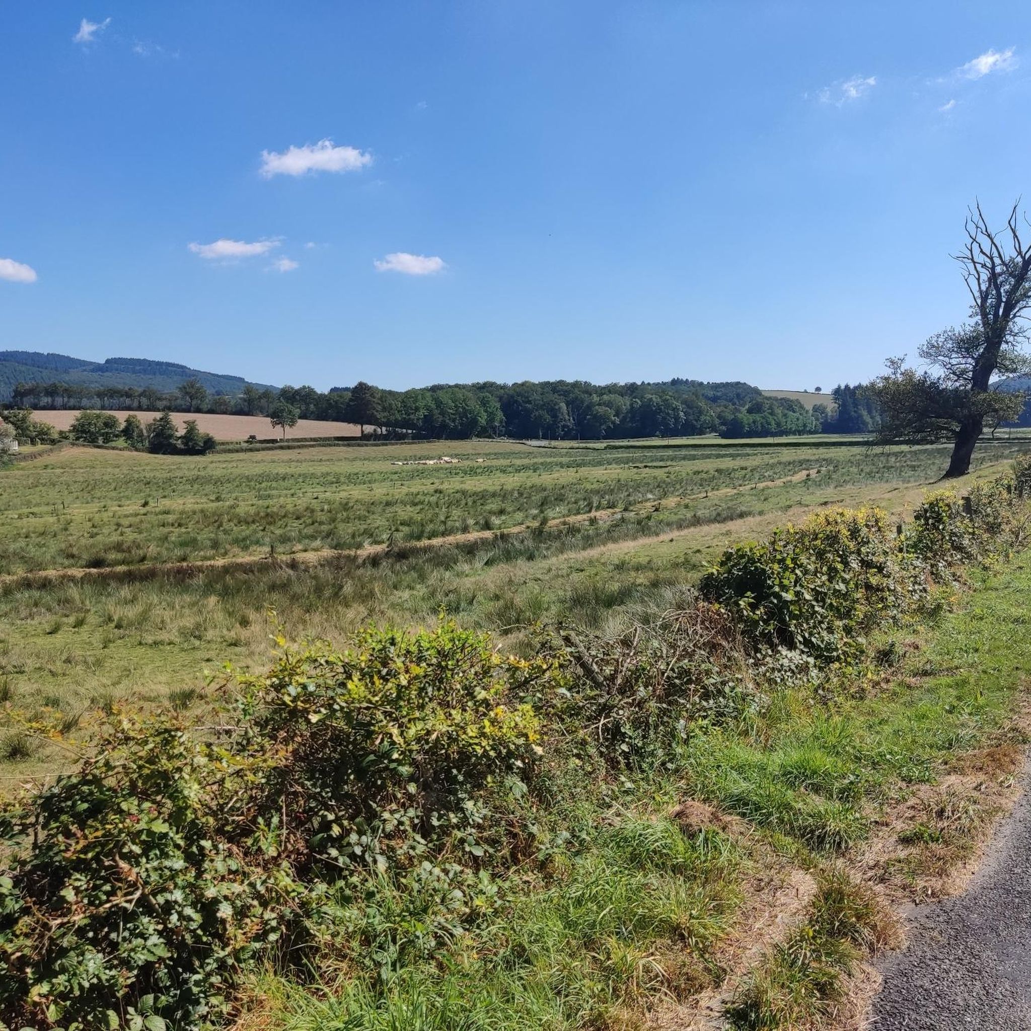
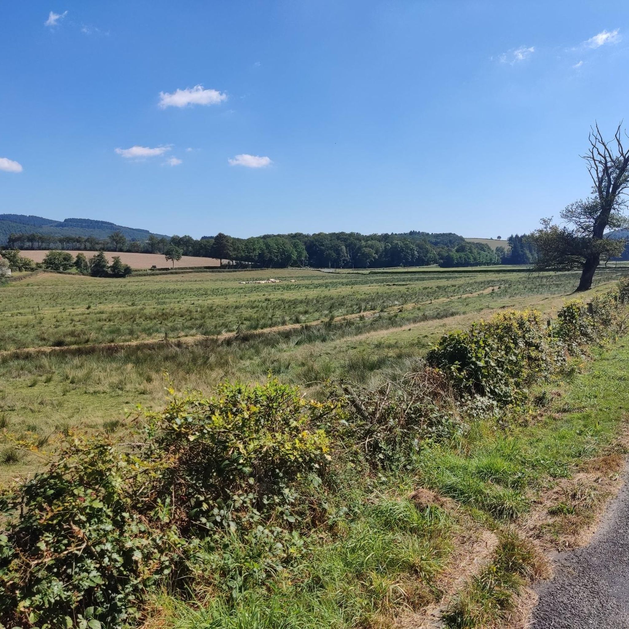
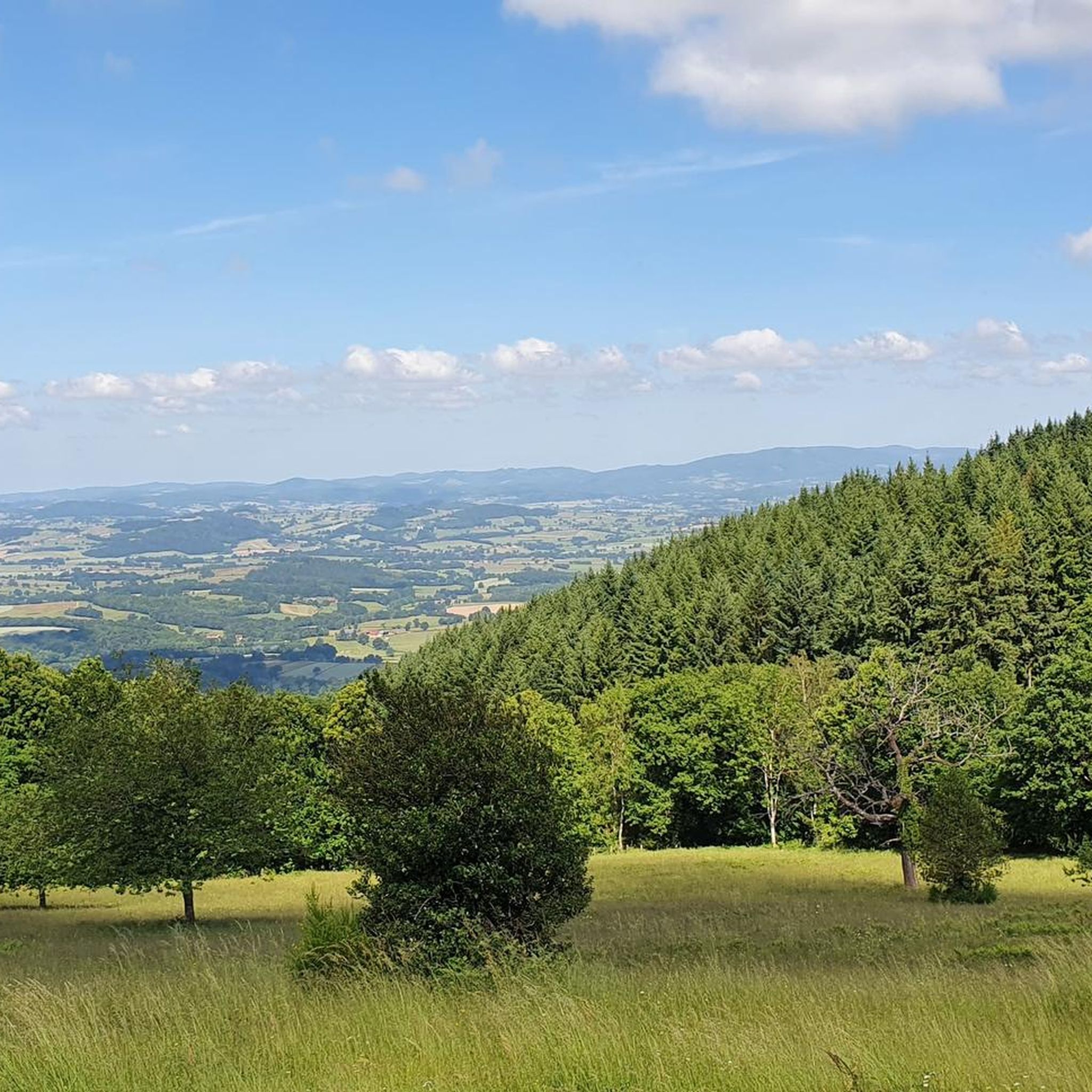
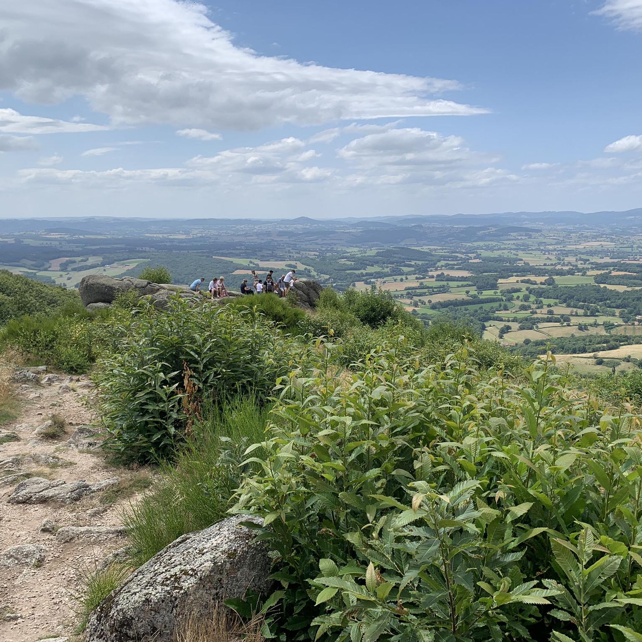
Hiking around La Tagnière offers diverse landscapes within the Bourgogne-Franche-Comté region of France, often referred to as the "Balcony of the Morvan." The terrain features a mix of rolling vineyards, open farmland, and rugged hills with pine stands and valleys. Notable natural features include the granite chaos of Les Rochers d'Uchon and panoramic views of the Arroux valley.
Best hiking trails around La Tagnière
- The most popular hiking route is Les Rochers d'Uchon – Wells loop from La Tagnière,…
Last updated: July 6, 2026
4.9
(8)
29
hikers
13.6km
04:01
380m
380m
Moderate hike. Good fitness required. Easily-accessible paths. Suitable for all skill levels.
4.4
(31)
75
hikers
5.57km
01:35
130m
130m
Easy hike. Great for any fitness level. Easily-accessible paths. Suitable for all skill levels.

Sign up for free
4.1
(8)
24
hikers
Moderate hike. Good fitness required. Easily-accessible paths. Suitable for all skill levels.
7
hikers
4.48km
01:14
80m
80m
Easy hike. Great for any fitness level. Easily-accessible paths. Suitable for all skill levels.
5.0
(1)
5
hikers
11.0km
03:01
170m
170m
Moderate hike. Good fitness required. Easily-accessible paths. Suitable for all skill levels.
Get access to more routes and recommendations from other explorers.
Sign up for free
Already have an account?
Our route recommendations are based on thousands of hikes, rides, and runs completed by other people on komoot.
Start today with a free account
Your next adventure awaits.
Login or Signup

Tips from the Community

Nice climb, tough from Mesvres
0
0


Small pass at an altitude of 676m with a clear summit, offering a beautiful view of the countryside and the surrounding area.
0
0

Col with decent gradient. 676m.
1
0


Beautiful views and challenging walks with significant ascent and descent. Beautiful stone parties. Good walking shoes required!!
0
0
Beautiful, enchanting place. You can take extensive walks here and enjoy beautiful views. It is not called the Balcony of the Morvan for nothing. Sturdy walking shoes because steep climbs will be yours. Success guaranteed, even in wet and/or foggy weather.
1
0
Frequently Asked Questions
What types of hiking trails can I find around La Tagnière?
La Tagnière, often called the "Balcony of the Morvan," offers a diverse range of hiking trails. You'll find paths through rolling vineyards, open farmland, and rugged hills with pine stands and valleys. The terrain includes both gentle strolls and more challenging hikes, with options for easy, moderate, and difficult routes.
Are there any easy hiking trails suitable for beginners or families?
Yes, La Tagnière has several easy trails. For instance, the Les Rochers d'Uchon – Signal d'Uchon loop from Uchon is an easy 4.5 km route that takes about 1 hour 14 minutes to complete, leading through the distinctive granite formations of Les Rochers d'Uchon. This area is generally suitable for families looking for a less strenuous walk.
What natural features or landmarks can I see while hiking in La Tagnière?
Hikers in La Tagnière can explore several notable natural features. The most prominent are Les Rochers d'Uchon, a unique area of granite chaos with formations like "Mammoth" and "Devil's Claw." You can also discover The Falling Rock, which offers impressive views of the Arroux valley. Other highlights include Signal d'Uchon and various viewpoints like View of the Morvan from the Balcony of the Morvan.
Are there any circular hiking routes in the area?
Yes, many of the trails around La Tagnière are designed as circular loops, allowing you to start and end at the same point. Examples include the popular Les Rochers d'Uchon – Wells loop from La Tagnière, a moderate 13.6 km route, and the Château de Champignolle loop from La Tagnière, which is 11 km long.
What do other hikers say about the trails in La Tagnière?
The hiking routes in La Tagnière are highly regarded by the komoot community, holding an average rating of 4.6 stars from over 400 reviews. Hikers frequently praise the varied terrain, the stunning granite rock formations, and the panoramic views of the Arroux valley and the Morvan landscape.
Can I find trails that include historical sites or castles?
Absolutely. Hiking in La Tagnière often integrates historical elements. For example, the Château de Champignolle loop from La Tagnière leads past the Château de Champignolle. The region also features other seigneurial castles like Trélague and Bussière, and the village of La Tagnière itself has a medieval character with a fortified borough and a 12th-century Romanesque church, which can be explored during your hikes.
What is the longest hiking trail available in La Tagnière?
One of the longer routes is the Les Rochers d'Uchon – Wells loop from La Tagnière, which spans 13.6 km. This moderate trail takes approximately 4 hours to complete and guides you through the distinctive granite formations and varied landscapes of the area.
Are there any trails that offer views of the Arroux valley?
Yes, many trails in the La Tagnière area provide admirable views of the Arroux valley. The region is known for its scenic vistas, and routes like The Falling Rock – Wells loop from La Tagnière specifically highlight natural features that overlook the valley, offering picturesque backdrops for your hike.
How many hiking routes are there in total around La Tagnière?
There are 10 distinct hiking routes available around La Tagnière, catering to various preferences and fitness levels. These include 3 easy, 6 moderate, and 1 difficult trail.
What kind of terrain should I expect on the trails?
The terrain around La Tagnière is quite varied. You can expect a mix of rolling vineyards, open farmland, pine stands, and rugged hills. Many trails feature granite rock formations, particularly around Les Rochers d'Uchon, and offer views across valleys. Paths can range from well-trodden earth to rocky sections.
Are there any trails that pass by water features like ponds or lakes?
Yes, some trails or nearby areas feature water bodies. For instance, you might encounter Vauvillard Pond or Priory Ponds, which add to the scenic diversity of the landscape. While not all routes directly hug the water, these features are part of the broader natural appeal of the region.
Is La Tagnière part of any larger hiking networks?
Yes, La Tagnière is situated within the Morvan massif and is part of longer cycling and hiking routes, such as the GTMC (Grande Traversée du Morvan). This offers opportunities for extended adventures beyond the local loops.
Most popular routes around La Tagnière
Most popular attractions around La Tagnière

Get inspired with the komoot mobile app


Explore more
Browse the best Hikes in other regions.
