The best walks and hikes around Saint-Julien-Labrousse
4.5
(232)
1,428
hikers
135
hikes
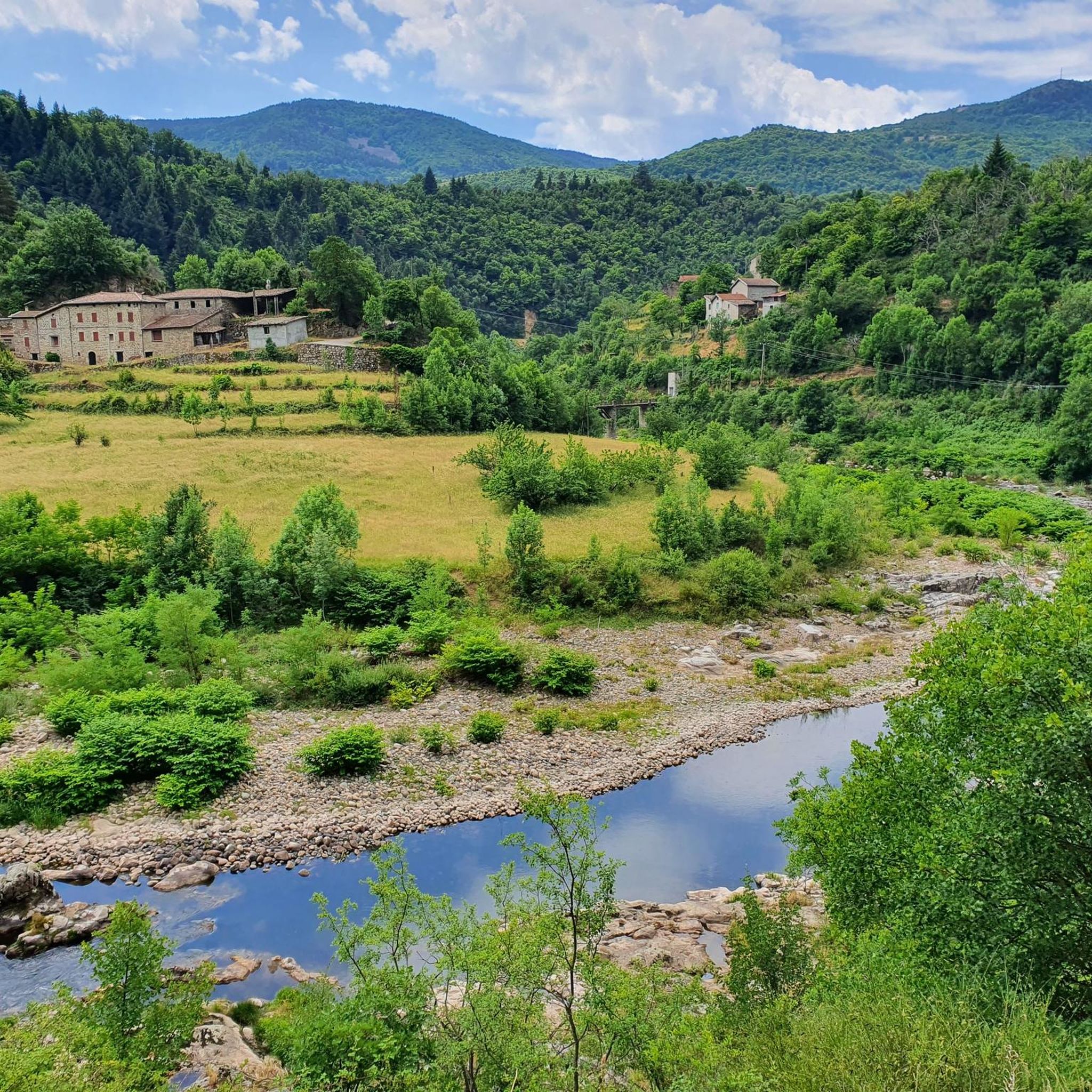
Hiking around Saint-Julien-Labrousse is situated within the Monts d'Ardèche Regional Natural Park, offering diverse landscapes. The region is characterized by the Eyrieux Valley, a network of forests, and terraced slopes. Hikers can find panoramic views over the valley and the Cévennes mountain range. The area features rivers like the Eyrieux and Orsanne, contributing to varied terrain with altitudes ranging from 315 to 899 meters.
Best hiking trails around Saint-Julien-Labrousse
- The most popular hiking route is The Chervil Bridge – Water…
Last updated: June 25, 2026
3.8
(4)
19
hikers
8.64km
02:48
380m
380m
Moderate hike. Good fitness required. Easily-accessible paths. Suitable for all skill levels.
5.0
(1)
12
hikers
5.62km
01:38
150m
150m
Easy hike. Great for any fitness level. Easily-accessible paths. Suitable for all skill levels.

Sign up for free
5.0
(1)
12
hikers
8.23km
02:07
40m
40m
Moderate hike. Good fitness required. Easily-accessible paths. Suitable for all skill levels.
5
hikers
17.1km
05:19
640m
640m
Hard hike. Very good fitness required. Easily-accessible paths. Suitable for all skill levels.
5.0
(1)
10
hikers
Moderate hike. Good fitness required. Easily-accessible paths. Suitable for all skill levels.
Get access to more routes and recommendations from other explorers.
Sign up for free
Already have an account?
Our route recommendations are based on thousands of hikes, rides, and runs completed by other people on komoot.
Start today with a free account
Your next adventure awaits.
Login or Signup

Tips from the Community


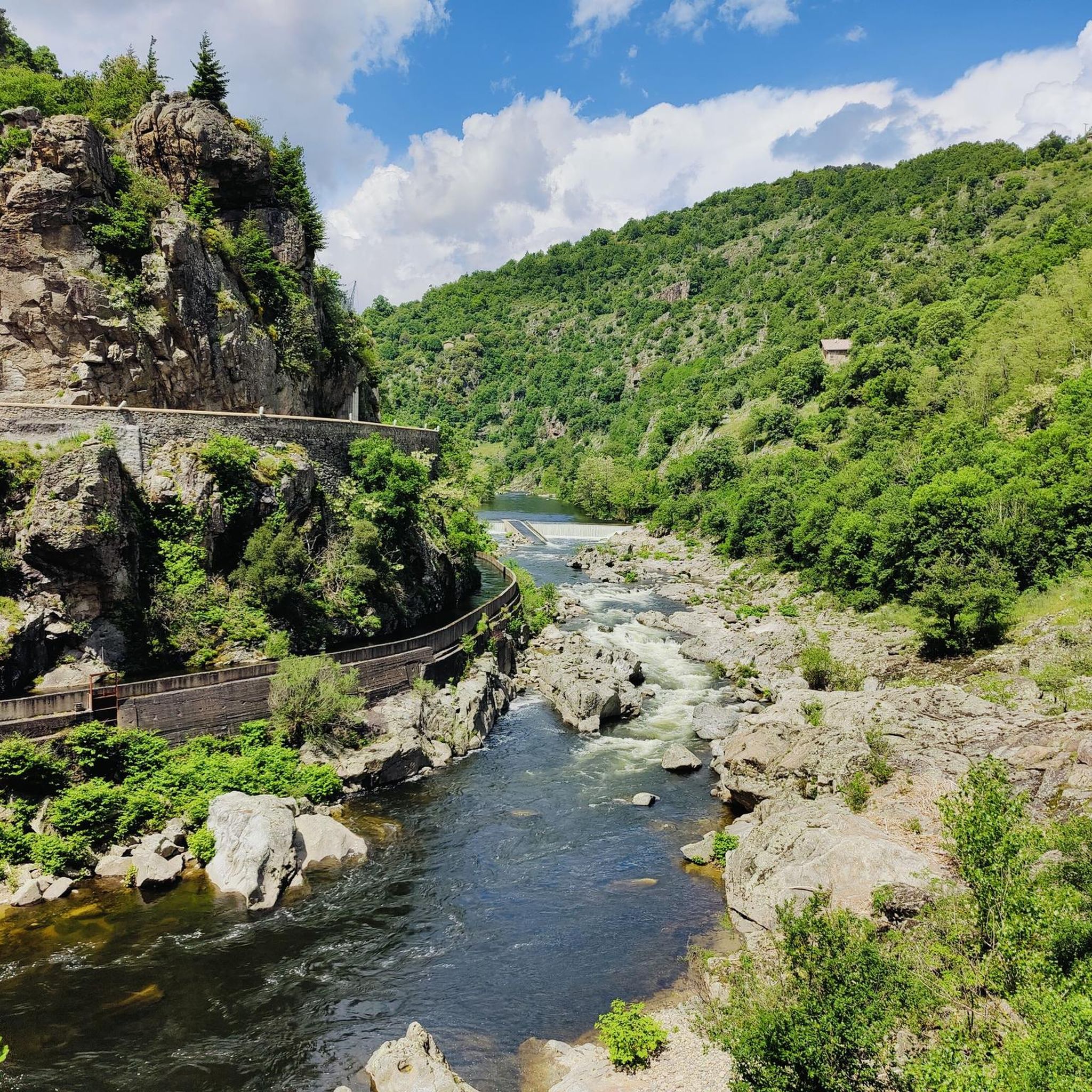
The Chervil Bridge, located in Ardèche, is an elegant structure spanning the Eyrieux River between Saint-Sauveur-de-Montagut and Les Ollières-sur-Eyrieux. Built at the beginning of the 20th century, it is distinguished by its unique reinforced concrete arch, a testament to the first major technical advances of the time. Nestled in a remarkable natural setting, this bridge offers a picturesque view of the valley and is an iconic landmark for walkers along the Dolce Via.
0
0

A small station for repairing and charging bicycles - with shady seating - near a small cafe/restaurant about 50m
1
0


Rest area for both your own consumption and the drinks and snacks offered.
0
0

stony path
2
2

Located in the heart of the Monts d'Ardèche Regional Park, Chalencon is a medieval granite village. A stroll through this Little Town of Character opens the way to picturesque streets with buildings with mullioned windows. It is also an opportunity to appreciate the splendid panorama from Place du Valla over the Eyrieux valley and the Monts de l'Ardèche.
3
0
Frequently Asked Questions
How many hiking trails are available in Saint-Julien-Labrousse?
Saint-Julien-Labrousse offers a wide selection of hiking opportunities, with over 120 trails available. These routes cater to various skill levels, from easy strolls to more demanding treks.
What kind of terrain can I expect on hikes around Saint-Julien-Labrousse?
The terrain in Saint-Julien-Labrousse is quite varied, featuring a mosaic of forests, old paths, and terraced slopes known as 'faïsses' or 'chalets,' often planted with chestnut trees. You'll also find routes along river valleys, particularly the Eyrieux and Orsanne, providing a dynamic hiking experience.
Are there easy hiking options suitable for beginners or casual walkers?
Yes, there are 23 easy hiking routes in Saint-Julien-Labrousse. For example, a shorter version of The Code Bar loop from Belsentes is an easy 5.6 km path, perfect for a relaxed walk through forested sections.
Are there more challenging hikes for experienced trekkers?
Yes, for those seeking a greater challenge, there are 27 difficult routes in the area. These trails often involve more significant elevation changes and longer distances, providing an extended exploration of the diverse landscape within the Monts d'Ardèche Regional Natural Park.
What natural features or viewpoints can I expect to see while hiking?
Hikers are consistently rewarded with extensive vistas over the Eyrieux Valley, the Cévennes mountain range, and even distant views of the Alps, Vercors, Mont Gerbier de Jonc, and Mont Mézenc. The region is also defined by rivers like the Eyrieux and Orsanne, offering picturesque routes and numerous panoramas from vantage points such as Pic Lafont.
Are there any historical or cultural landmarks to explore along the trails?
Many hikes follow old trails and roads, traversing a landscape rich in history. You might encounter ancient hamlets and picturesque villages like Chalencon, Désaignes, and Boucieu-le-Roi, recognized as 'Villages and Cités de Caractère.' Additionally, the La Dolce Via, a popular route utilizing former railway lines, features the Nonières Tunnel, the longest illuminated cycling tunnel on the route.
Are there any circular hiking routes in the area?
Yes, many routes in Saint-Julien-Labrousse are circular. An example is The Chervil Bridge – Water power loop from Pont de Chervil, a moderate 8.6 km trail featuring varied terrain and views of the Eyrieux river.
Can I bring my dog on the hiking trails in Saint-Julien-Labrousse?
Generally, dogs are welcome on many hiking trails in the Monts d'Ardèche Regional Natural Park, but it's always advisable to keep them on a leash, especially in areas with livestock or protected wildlife. Check specific trail regulations if you plan to visit a nature reserve.
Are there family-friendly hiking trails suitable for children?
Yes, the region offers various trails suitable for families. The La Dolce Via, a former railway line, provides accessible and scenic paths that are generally flat and safe for children. Shorter, easy loops are also available, such as the 5.6 km Code Bar loop from Belsentes.
What are the best times of year to go hiking in Saint-Julien-Labrousse?
The spring and autumn months are generally ideal for hiking in Saint-Julien-Labrousse, offering pleasant temperatures and vibrant natural colors. Summer can also be enjoyable, especially in the mornings or late afternoons, though some trails might be warmer. Winter hiking is possible, but some higher elevation paths might require appropriate gear.
Is parking available near the trailheads in Saint-Julien-Labrousse?
Yes, parking is typically available near popular trailheads and in the villages throughout the Saint-Julien-Labrousse area. Many routes, especially those starting from villages or specific points like Pont de Chervil, will have designated parking areas.
What do other hikers enjoy the most about hiking in Saint-Julien-Labrousse?
The area is highly rated by the komoot community, with an average score of 4.4 stars from over 210 reviews. Reviewers often praise the diverse landscapes, the stunning panoramic views over the Eyrieux Valley and distant mountains, and the well-maintained trails that lead through forests and charming old villages.
Most popular routes around Saint-Julien-Labrousse
Most popular attractions around Saint-Julien-Labrousse

Get inspired with the komoot mobile app


Explore more
Browse the best Hikes in other regions.
