The best cycling routes around Arbérats-Sillègue
4.4
(74)
519
riders
120
rides
Touring cycling routes around Arbérats-Sillègue traverse a landscape characterized by rolling hills, river valleys, and historic paths. The region, situated in the Basque Country, offers a mix of agricultural land and forested sections, with occasional views of distant mountains. Routes often follow quiet country roads and dedicated cycle paths, providing a varied terrain for cyclists.
Best touring cycling routes around Arbérats-Sillègue
- The most popular touring cycling route is Way of St. James Loop from Saint-Palais, a 19.5 miles (31.3…
Last updated: May 22, 2026
12
riders
31.3km
02:03
450m
450m
Hard bike ride. Very good fitness required. Mostly paved surfaces. Suitable for all skill levels.
3.7
(3)
21
riders
139km
08:32
1,270m
1,270m
Hard bike ride. Very good fitness required. Mostly paved surfaces. Suitable for all skill levels.

Sign up for free
28
riders
68.1km
04:32
1,070m
1,070m
Hard bike ride. Very good fitness required. Mostly paved surfaces. Suitable for all skill levels.
12
riders
38.3km
03:25
840m
840m
Hard bike ride. Very good fitness required. Mostly paved surfaces. Suitable for all skill levels.
12
riders
73.5km
04:33
750m
750m
Hard bike ride. Very good fitness required. Mostly paved surfaces. Suitable for all skill levels.
Get access to more routes and recommendations from other explorers.
Sign up for free
Already have an account?
Our route recommendations are based on thousands of hikes, rides, and runs completed by other people on komoot.
Start today with a free account
Your next adventure awaits.
Login or Signup
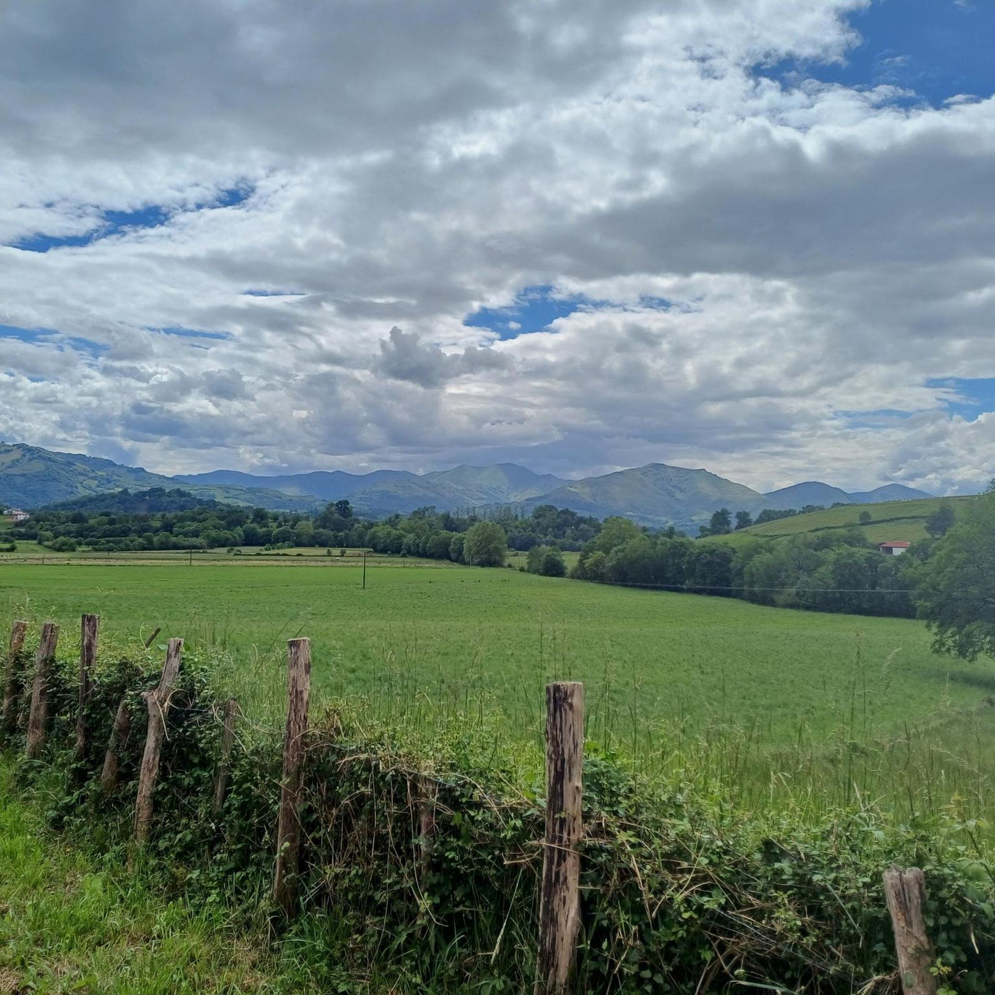
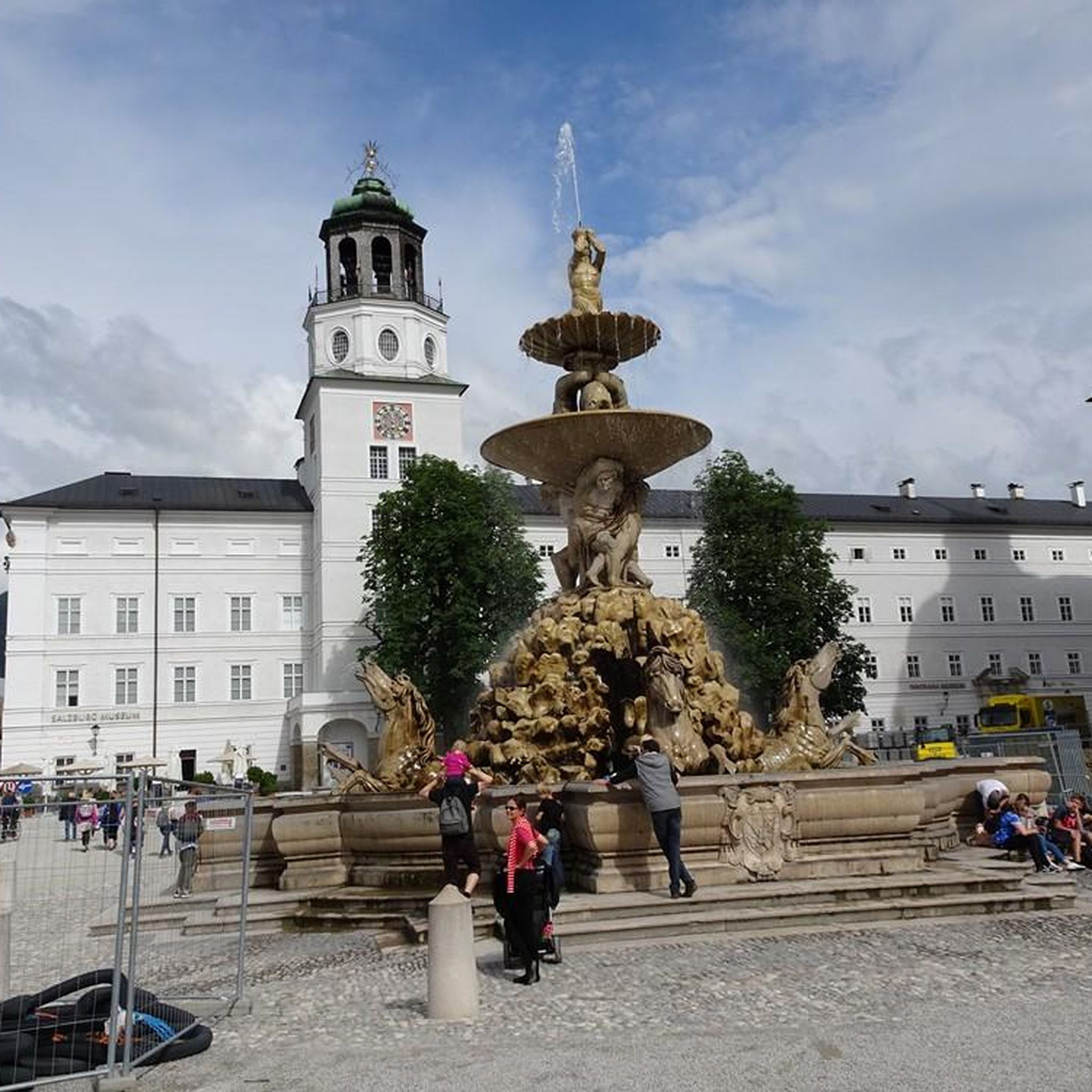

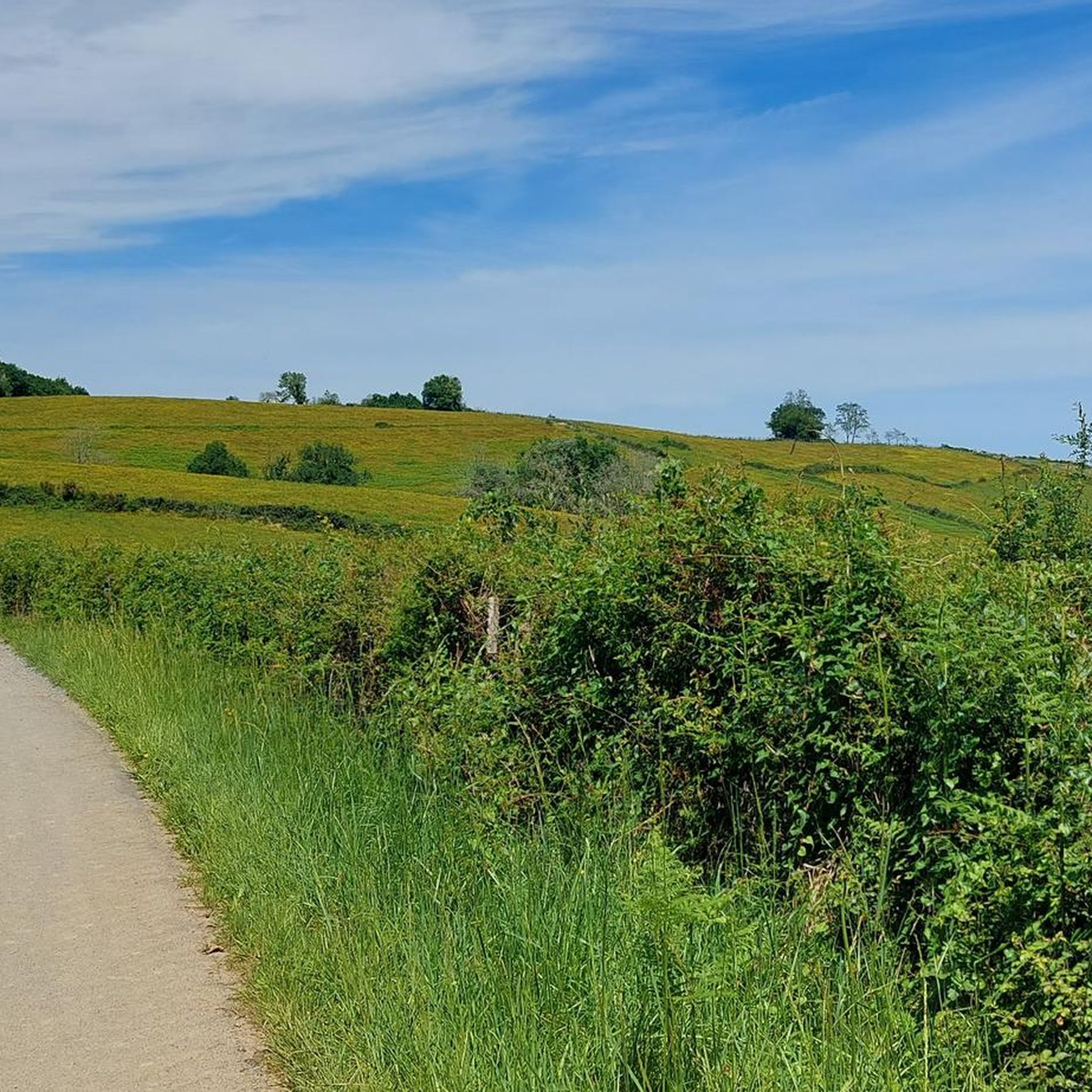
Tips from the Community

## The tunnel The tunnel, located between the Puyoô and Salies-de-Béarn stations, is one of the significant structures on line n° 662.000 connecting Puyoô to Mauléon. It is a single-track tunnel 848.5 m long and 5.00 m wide between the abutments. The height under the crown is 6.00 m. It is a multi-radius arch. The structure is generally oriented North-South, with a curve of R400 m for the first 250 meters on the North side, then a straight section to the South end. The longitudinal profile has a constant gradient of 0.01 m/m from the North. A central aqueduct equips the structure along its entire route. The maximum cover is 49 m. The tunnel is built in the Campanian flysch (Upper Cretaceous). The construction of the tunnel (1879-1883) was carried out from two headings via shafts approximately 35 m deep, located at PM219 and PM632. The shafts were retained as ventilation shafts. The masonry thicknesses (limestone rubble set in lime mortar) vary from 0.50 m to 1.20 m. The length of the tunnel, initially projected at 400 m, was increased to 787 m following the decision to lower the profile (from 20‰ to 16‰). During construction, ground instabilities encountered during the excavation of access trenches led to a further extension of the structure, which finally reached a length of 848.5 m. Numerous ground instabilities (landslides) caused significant delays in the progress of the work. The tunnel was electrified in 1930 and the overhead line equipment was removed in 1971.
0
0

Also easy to cycle here
0
0


Magical place, one of my favorite French villages
2
0

Ultreia! The pilgrim must go through here. Very atmospheric old town and this gate by the river behind which the church portal welcomes the pilgrim is old and venerable.
2
0

A great old fortress to explore with fabulous views towards the mountains
2
0

A really beautiful cycle path on an old railway line. It is completely asphalted and is therefore a wonderful ride and there are one or two bridge highlights to admire along the way.
2
0

The starting point of the Camino Frances. Many pilgrims start from here and are so excited that they can't really enjoy the beautiful town.
6
0
Frequently Asked Questions
How many touring cycling routes are available in Arbérats-Sillègue?
There are over 100 touring cycling routes around Arbérats-Sillègue, offering a wide range of options for various skill levels and preferences. These routes traverse rolling hills, river valleys, and historic paths across the Basque Country.
Are there easy touring cycling routes suitable for beginners in Arbérats-Sillègue?
Yes, Arbérats-Sillègue offers 11 easy touring cycling routes. These are generally shorter with less elevation gain, perfect for those new to touring cycling or looking for a relaxed ride through the scenic agricultural lands and quiet country roads.
What kind of terrain can I expect on touring cycling routes in Arbérats-Sillègue?
The terrain around Arbérats-Sillègue is characterized by rolling hills, picturesque river valleys, and historic paths. You'll often find yourself on quiet country roads and dedicated cycle paths, with occasional forested sections and views of distant mountains. The region offers a varied landscape, from agricultural fields to more challenging ascents.
Are there any long-distance touring cycling routes in the area?
Yes, for experienced touring cyclists seeking a longer challenge, routes like the Tunnel – wonderful, quiet bike path loop from Domezain-Berraute cover an extensive 139.6 km (86.8 miles) with significant elevation gain, offering a unique cycling experience through varied scenery including a tunnel section.
What are some notable landmarks or attractions I can see along the touring cycling routes?
Many routes pass by interesting historical and natural sights. You might encounter structures like The Bridge of the Legend, the Gibraltar Stele, or the serene Chapelle de Soyarza. Other highlights include the Pont de la Légende and Monréal Tower in Sauveterre-de-Béarn, and the historic Viellenave bridge and mill.
Are there any circular touring cycling routes in Arbérats-Sillègue?
Yes, many touring cycling routes in the region are designed as loops. For example, the Way of St. James Loop from Saint-Palais is a popular 31.3 km (19.5 miles) circular route that follows a section of the historic pilgrimage path. Another option is the Bridge over the Saison River – Ostabat-Asme loop from Saint-Palais, which leads through river valleys and past rural villages.
What is the best season for touring cycling in Arbérats-Sillègue?
The region is generally pleasant for touring cycling from spring through autumn. Spring brings lush greenery and comfortable temperatures, while autumn offers beautiful foliage. Summers are typically warm, making early mornings or late afternoons ideal for rides. Winters can be cooler and wetter, but some routes may still be accessible depending on conditions.
What do other touring cyclists enjoy most about cycling in Arbérats-Sillègue?
The touring cycling routes in Arbérats-Sillègue are highly rated by the komoot community, with an average score of 4.4 stars from over 60 reviews. Cyclists often praise the quiet country roads, the scenic river crossings, and the varied terrain that offers both challenging climbs and gentle stretches through picturesque villages.
Are there any touring routes with good viewpoints in Arbérats-Sillègue?
Absolutely. The region's rolling hills naturally offer many scenic vistas. A notable route for panoramic views is the Saint-Palais – View of the Basque Country loop from Amendeuix-Oneix, which provides expansive outlooks over the beautiful Basque landscape.
Are there any challenging touring cycling routes for advanced riders?
Yes, Arbérats-Sillègue has 48 difficult touring cycling routes. These often feature significant elevation gains and longer distances. An example is the Hilly landscape – Porte Saint-Jacques loop from Béhasque-Lapiste, which covers 75.9 km (47.2 miles) and includes substantial climbing through a hilly landscape.
Is public transport available to access touring cycling trailheads in Arbérats-Sillègue?
While specific public transport options directly to every trailhead may vary, the region is part of the Basque Country, which has a network of local buses. It's advisable to check local transport schedules for services connecting to towns like Saint-Palais or Domezain-Berraute, which serve as starting points for several routes. Some services may accommodate bicycles, but this should be confirmed in advance.
Are there cafes or pubs along the touring cycling routes in Arbérats-Sillègue?
Many touring cycling routes pass through or near rural villages and small towns where you can find local cafes, bakeries, and traditional Basque pubs (known as 'tabernas'). These establishments offer opportunities to refuel and experience local hospitality. Planning your route with komoot allows you to identify points of interest, including eateries, along your chosen path.
Most popular attractions around Arbérats-Sillègue

Get inspired with the komoot mobile app


Explore more
Browse the best Cycling routes in other regions.
