The best walks and hikes around Saint-Christol
4.5
(157)
970
hikers
90
hikes
Hiking around Saint-Christol offers diverse natural landscapes in the Vaucluse department of the Provence-Alpes-Côte d'Azur region. The terrain features expansive lavender fields, views of Mont Ventoux and Montagne de Lure, and trails through the Montagne de Vaucluse. Hikers can also explore areas near the distinctive ochre cliffs of Rustrel, providing varied geological formations.
Best hiking trails around Saint-Christol
- The most popular hiking route is Château de la Chèze – Pine forest loop from Le Cheylard, a 3.6 miles (5.7…
Last updated: May 18, 2026
4.4
(14)
42
hikers
5.73km
01:51
250m
250m
Easy hike. Great for any fitness level. Easily-accessible paths. Suitable for all skill levels.
4.0
(5)
25
hikers
15.9km
04:58
500m
500m
Hard hike. Good fitness required. Sure-footedness, sturdy shoes and alpine experience required.

Sign up for free
3.7
(3)
16
hikers
4.93km
01:23
100m
100m
Easy hike. Great for any fitness level. Easily-accessible paths. Suitable for all skill levels.
5.0
(1)
12
hikers
8.23km
02:07
40m
40m
Moderate hike. Good fitness required. Easily-accessible paths. Suitable for all skill levels.
5.0
(1)
5
hikers
10.00km
03:05
340m
340m
Moderate hike. Good fitness required. Easily-accessible paths. Suitable for all skill levels.
Get access to more routes and recommendations from other explorers.
Sign up for free
Already have an account?
Our route recommendations are based on thousands of hikes, rides, and runs completed by other people on komoot.
Start today with a free account
Your next adventure awaits.
Login or Signup

Tips from the Community


A small station for repairing and charging bicycles - with shady seating - near a small cafe/restaurant about 50m
1
0


This hike is well known in Saint Christol, I underestimated the time it would take me to do the 12km circuit, so I created a variant that suited my pace better. I really took it all in. 😉
0
0
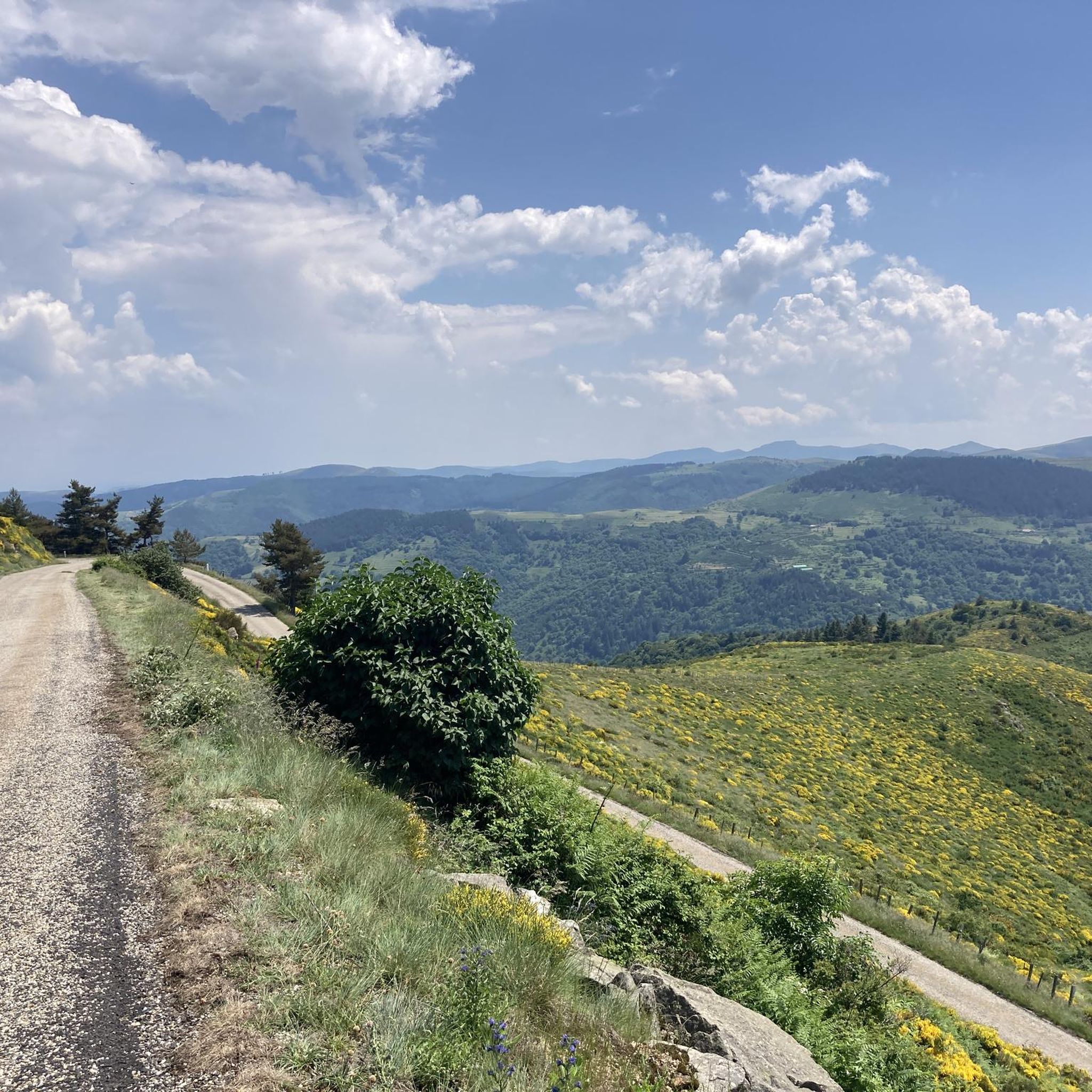
Possibility of starting from the 3 stations in the region and thus completing one of the 3 sections of +_ 30km outward and possibly return depending on the time or desires. Accessible to all, be careful however it climbs all the time coming from the Rhône. Superb landscapes and very secure routes, accessible to all levels, gravel and vtc, quite a bit of gravel.
0
0

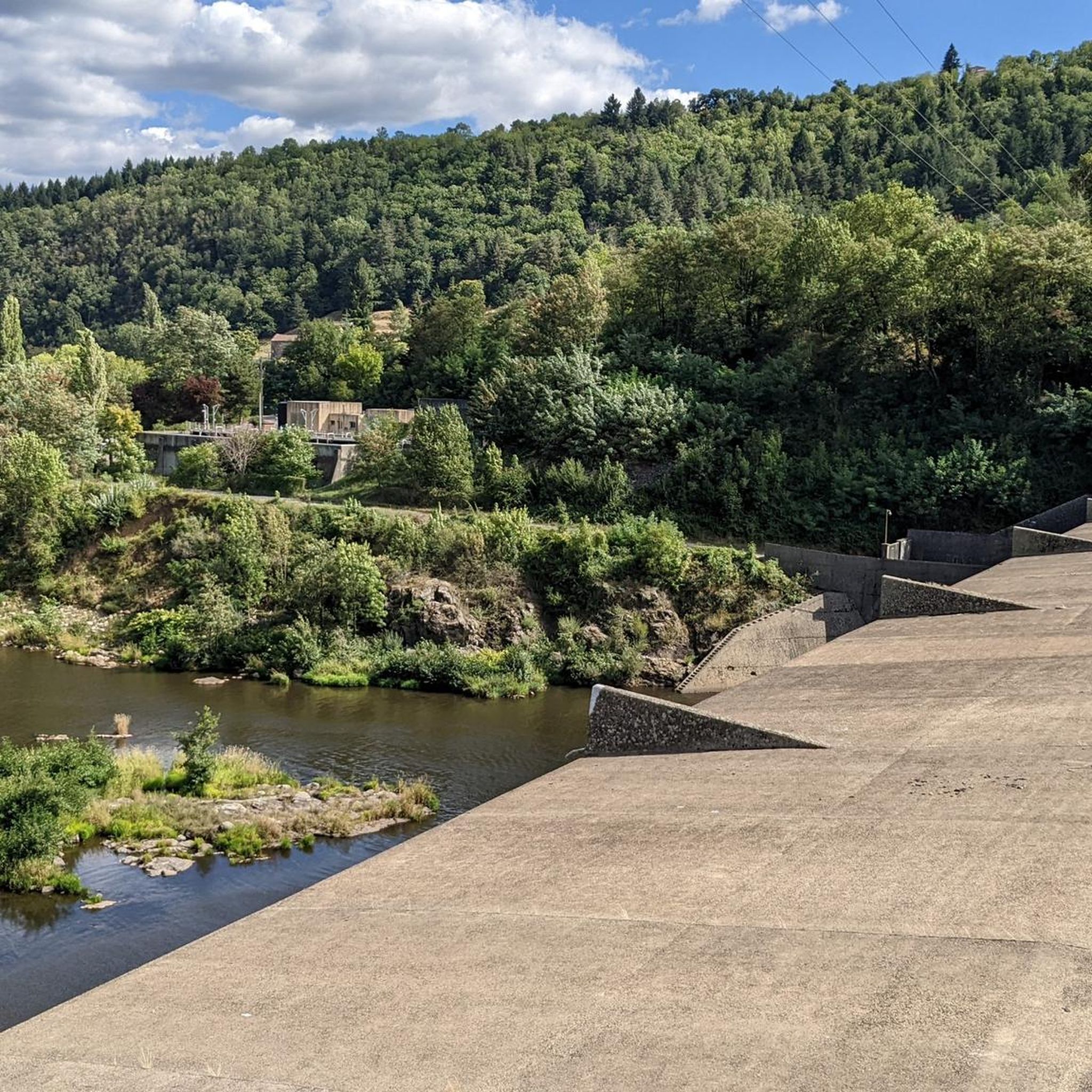
Collanges Lake is a 48-hectare artificial lake (which also serves as a water control dam for the Eyrieux Valley). Swimming is prohibited, but fishing is permitted (category 2). For swimming, you can visit the Eyrium aquatic center, with its 1,650 m² nestled in unspoiled nature, a large swimming pool, beaches, and games.
0
1

The ruins of Rochebonne castle, in the upper Eyrieux valley, are perched on a granite promontory dominating the left bank of the Eyrieux, 850 meters above sea level.
4
0
Frequently Asked Questions
How many hiking trails are available around Saint-Christol?
There are over 90 hiking routes in the Saint-Christol area. These include a variety of options, with 16 easy trails, 56 moderate routes, and 19 challenging hikes for more experienced adventurers.
When is the best time to visit Saint-Christol for hiking, especially to see the lavender fields?
The best time to visit Saint-Christol for hiking, particularly to experience the iconic lavender fields, is typically from late June to mid-July when the lavender is in full bloom. The region also offers beautiful hiking opportunities in spring and autumn with pleasant temperatures and vibrant colors.
Are there family-friendly hiking options in Saint-Christol?
Yes, Saint-Christol offers several easy hiking routes suitable for families. For example, the Château de la Chèze – Pine forest loop from Le Cheylard is an easy 3.6-mile (5.7 km) trail that winds through a tranquil pine forest, perfect for a family outing.
What natural features or landmarks can I see while hiking near Saint-Christol?
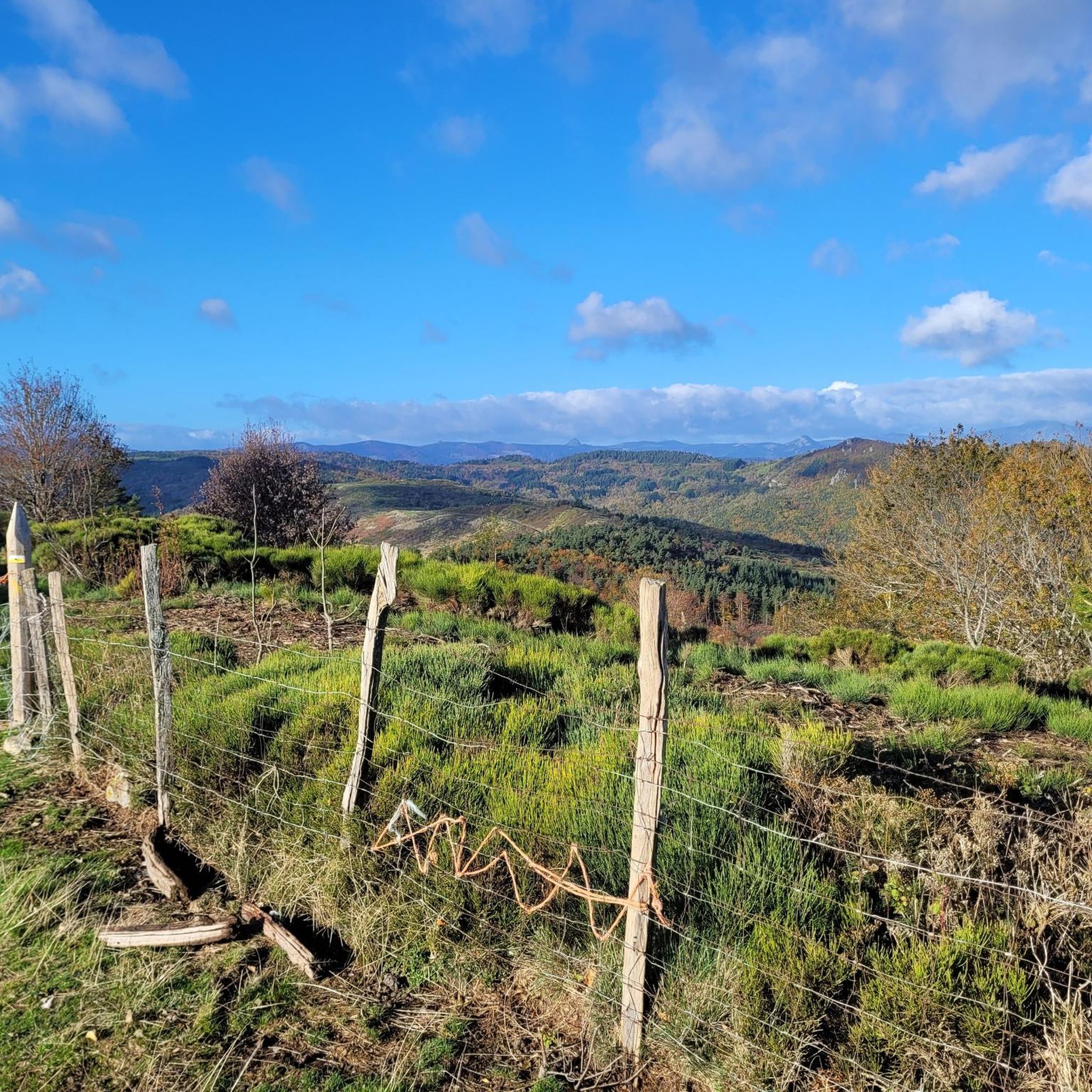
Hiking around Saint-Christol offers diverse natural beauty. You can expect to see expansive lavender plateaus, panoramic views of Mont Ventoux and Montagne de Lure, and trails through the Montagne de Vaucluse. Nearby, you can also explore the distinctive ochre cliffs of Rustrel, often referred to as the 'Colorado Provençal'. Highlights include Lac des Collanges and the Rochebonne Castle.
Can I bring my dog on the hiking trails around Saint-Christol?
Many trails in the Saint-Christol region are dog-friendly, but it's always advisable to keep your dog on a leash, especially in agricultural areas, near livestock, or in nature reserves. Please ensure you clean up after your pet to preserve the natural environment for everyone.
Are there challenging hikes for experienced hikers in the area?
Absolutely. For experienced hikers seeking a challenge, Saint-Christol offers 19 difficult routes. An example is the Viewpoint on the Dolce Via – Rochebonne Castle loop from Le Cheylard, a demanding 9.9-mile (15.9 km) path that provides extensive panoramic views and passes by Rochebonne Castle.
What kind of terrain and elevation can I expect on hikes in Saint-Christol?
The terrain around Saint-Christol is quite varied. You'll find gentle paths through lavender plateaus, undulating trails in pine forests, and more rugged ascents and descents in the Montagne de Vaucluse. Elevations can range from relatively flat sections to climbs of over 500 meters on more difficult routes, offering diverse experiences for all fitness levels.
What do other hikers say about the trails in Saint-Christol?
The hiking routes in Saint-Christol are highly regarded by the komoot community, with an average rating of 4.5 stars from over 150 reviews. Hikers often praise the stunning views of Mont Ventoux, the beauty of the lavender fields, and the variety of trails suitable for different abilities.
Are there many circular hiking routes available in Saint-Christol?
Yes, many of the trails around Saint-Christol are designed as circular routes, allowing you to start and end at the same point. This includes popular options like the View over Le Cheylard – Château de la Chèze loop from Le Cheylard, which offers varied terrain and scenic views.
Is parking available at trailheads, or can I use public transport to access hikes?
While specific parking information for every trailhead isn't always available, many popular hiking areas around Saint-Christol offer designated parking. Public transport options might be limited for direct trailhead access, so checking local bus schedules or considering carpooling is recommended for some routes.
Are there any specific attractions or points of interest along the Dolce Via trail near Saint-Christol?
Yes, the Dolce Via is a notable route in the region. Along sections of it, you can find points of interest such as the Dolce Via Section Through the Gorges of the Eyrieux. The trail itself is a converted railway line, offering a relatively flat and scenic path suitable for hiking and cycling.
Most popular routes around Saint-Christol
Most popular attractions around Saint-Christol

Get inspired with the komoot mobile app


Explore more
Browse the best Hikes in other regions.
