The best walks and hikes around Laval-Pradel
4.4
(430)
2,254
hikers
197
hikes
Hiking around Laval-Pradel offers diverse landscapes within the Gard department of France. The area is situated in the Cévennes region, characterized by varied terrain, including shady forests and unspoiled nature. Notable features include Mont Ricateau, a distinctive mountain with a pointed cone shape, and historical hamlets like Le Pradel and Mas-Dieu. The region provides a blend of natural beauty and historical sites for outdoor exploration.
Best hiking trails around Laval-Pradel
- The most popular hiking route is The Two Streams –…
Last updated: May 12, 2026
19
hikers
12.1km
03:25
270m
270m
Moderate hike. Good fitness required. Easily-accessible paths. Suitable for all skill levels.
5
hikers
8.33km
02:37
330m
330m
Moderate hike. Good fitness required. Easily-accessible paths. Suitable for all skill levels.

Sign up for free
5.0
(1)
10
hikers
7.94km
02:18
210m
210m
Moderate hike. Good fitness required. Easily-accessible paths. Suitable for all skill levels.
5
hikers
Moderate hike. Good fitness required. Easily-accessible paths. Suitable for all skill levels.
4.7
(3)
5
hikers
Moderate hike. Good fitness required. Easily-accessible paths. Suitable for all skill levels.
Get access to more routes and recommendations from other explorers.
Sign up for free
Already have an account?
Our route recommendations are based on thousands of hikes, rides, and runs completed by other people on komoot.
Start today with a free account
Your next adventure awaits.
Login or Signup
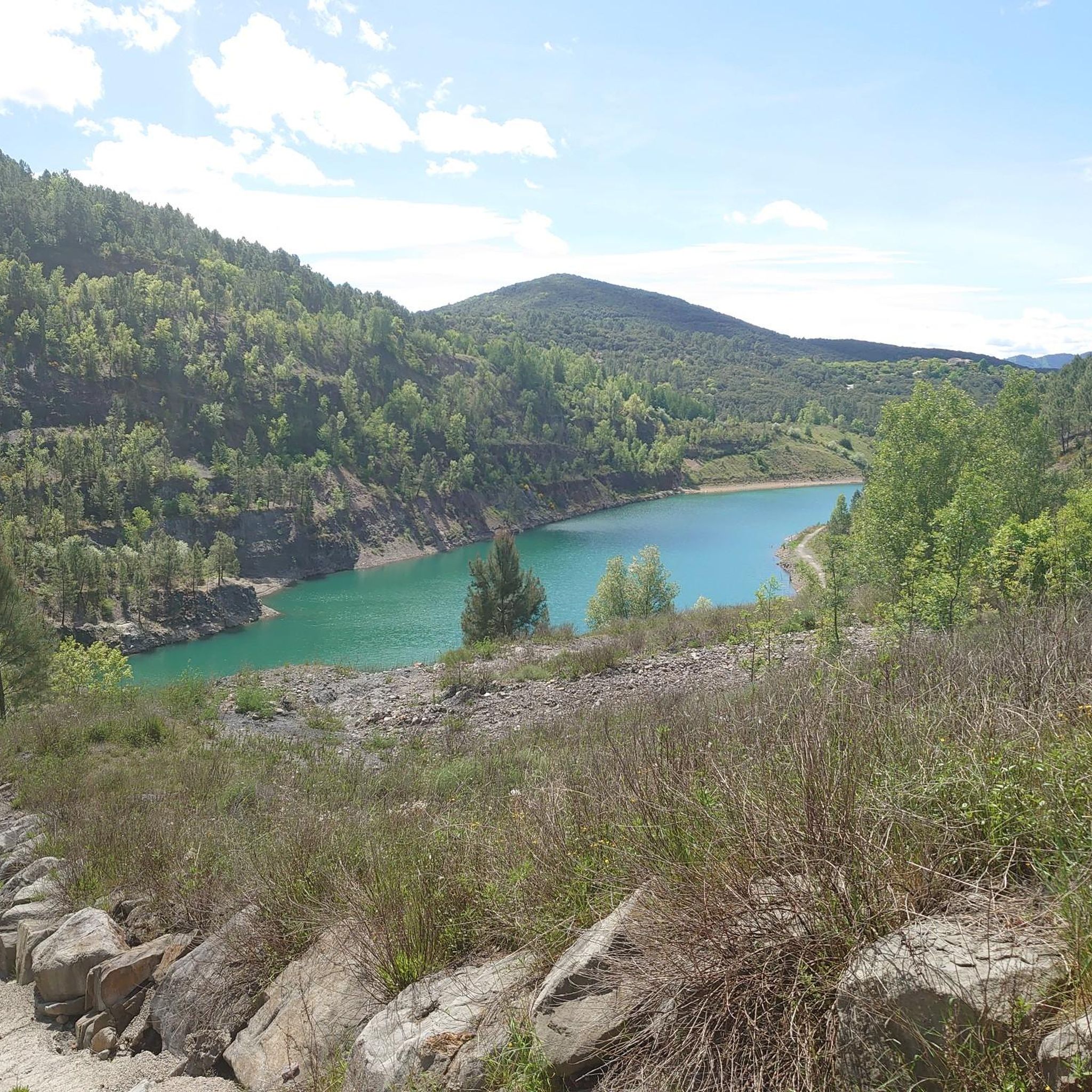
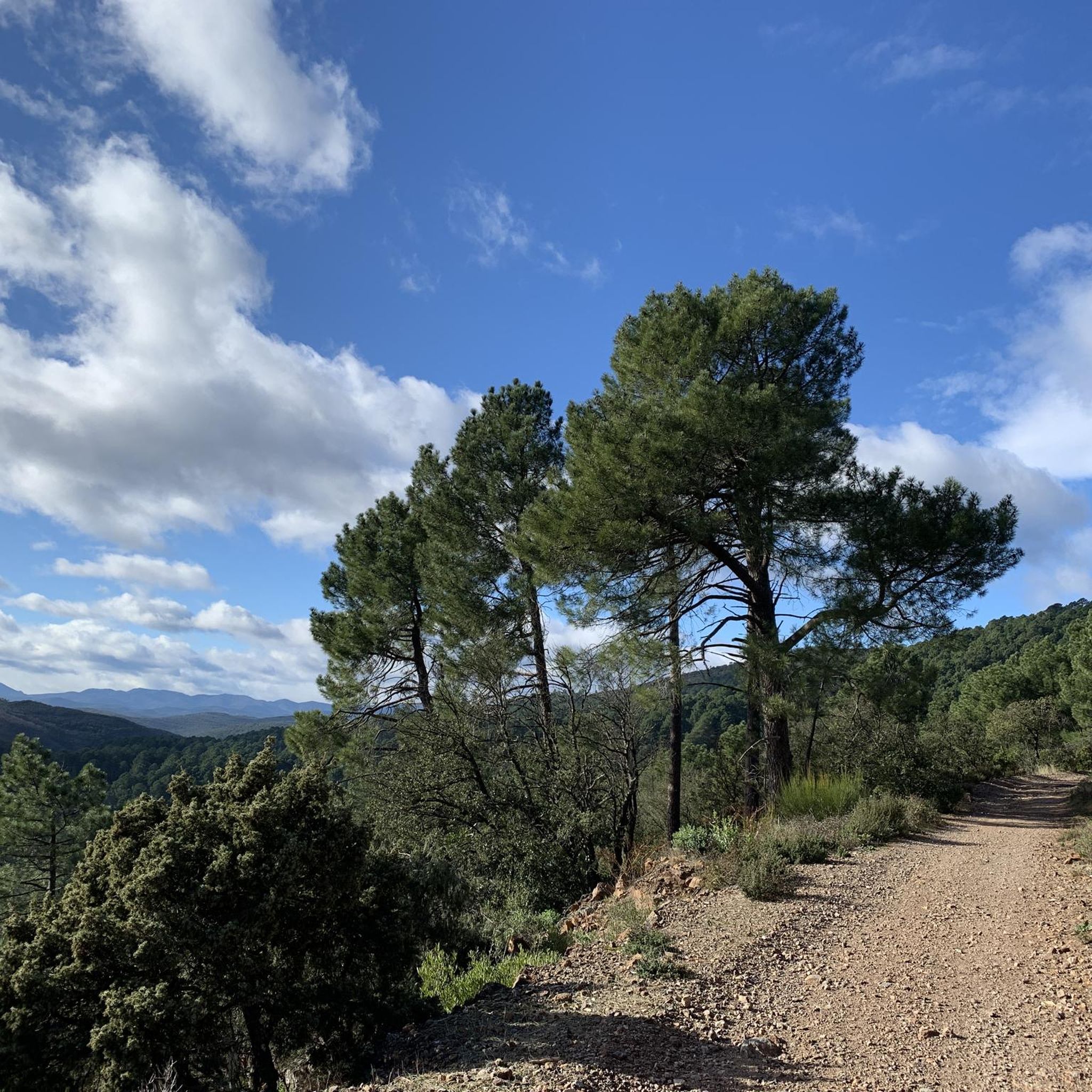
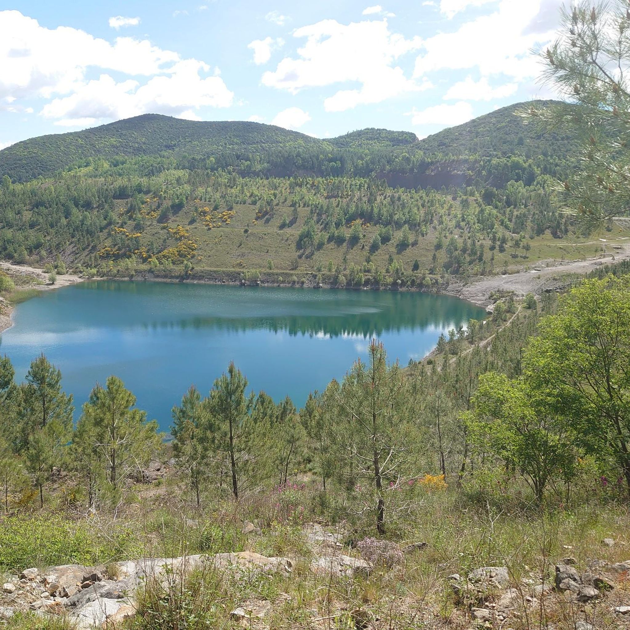

Tips from the Community

With picnic table and some playground equipment. Not well maintained
1
0
April 2026: The name of the junction has been changed from 'Granier' to 'Fournier'
1
0
This path is not on the Komoot map, but is apparently an alternative to avoid the overgrown path on the map.
1
0
This path is not the correct path, although it is indicated on the map. It is becoming increasingly difficult to traverse and overgrown with thorns.
1
0
Although this path meticulously follows the Komoot map, it is no longer correct. This is also indicated by the marking of a yellow cross. The path is no longer maintained, is completely overgrown with thorny bushes, or there are tree trunks on the way. An alternative path has been built, which is not shown on the map. I suspect, however, that both paths will merge again a little later.
1
0
This path is not indicated on the Komoot map. But it is apparently the right path. We did follow the map, but the indicated path became increasingly unclear and more overgrown with thorny bushes. I think this path rejoins the indicated route path further on.
1
0
April 2026: the route sign is completely destroyed and has not been repaired again
1
0

Accessible on foot or by various trails, for example from the Puits Ricard car park, the St Andéol de Trouillas chapel and its adjoining cemetery, the former parish of the diocese of Uzès, were ruined by coal mining works.
0
0
Frequently Asked Questions
How many hiking trails are available around Laval-Pradel?
There are nearly 200 hiking routes around Laval-Pradel, offering a wide range of options for all skill levels. These include 93 easy, 102 moderate, and 4 difficult trails.
What types of landscapes can I expect to see while hiking in Laval-Pradel?
Hiking in Laval-Pradel offers diverse landscapes within the Cévennes region. You can expect varied terrain, including shady forests, unspoiled nature, and views of distinctive features like Mont Ricateau. The area also features historical hamlets such as Le Pradel and Mas-Dieu.
Are there any circular hiking routes in Laval-Pradel?
Yes, many routes in the area are circular. For example, the Soule Cross loop from Laval-Pradel is a moderate 10.3 km path, and Pradel's tank loop from Le Mas-Dieu is a 7.6 km moderate trail.
What do other hikers enjoy most about the trails in Laval-Pradel?
The trails in Laval-Pradel are highly rated by the komoot community, with an average score of 4.4 stars from over 400 reviews. Hikers often praise the varied terrain, the blend of natural beauty with historical elements, and the opportunities for serene exploration within the Cévennes.
Are there any historical landmarks or attractions to see along the hiking trails?
Yes, the region is rich in history. You can explore sites like the Ruins of the Château de Sauvages or visit L'Ermitage, an 11th-century chapel offering panoramic views. The Montalet Castle, one of the largest in the Cévennes, is also undergoing restoration and hosts an annual medieval festival.
Can I find easy hiking trails suitable for families in Laval-Pradel?
Absolutely. Laval-Pradel offers 93 easy trails, many of which are suitable for families. An example is The Two Streams – Ammonite loop from Les Gayettes, an easy 7 km route that takes less than 2 hours to complete.
Are there any trails that offer good viewpoints in the area?
Many trails in the Cévennes region around Laval-Pradel offer exceptional panoramas. For instance, L'Ermitage provides a 360-degree view of Alès and the Cévennes. You can also find a specific View of Mount Ricateau, a distinctive mountain with a unique conical shape.
What is the best time of year to go hiking in Laval-Pradel?
The Cévennes region, including Laval-Pradel, is generally pleasant for hiking from spring through autumn. These seasons offer comfortable temperatures and vibrant natural scenery. While winter hiking is possible, some trails might be more challenging due to weather conditions.
Is there a long-distance hiking trail that passes through Laval-Pradel?
Yes, the renowned GR700 hiking trail, also known as the Chemin de Regordane, passes through the village of Le Laval. This historic long-distance route connects St Puy-en-Velay to St Gilles, offering a significant hiking experience for dedicated trekkers.
Are there any facilities or amenities near the hiking routes?
While specific amenities vary by trail, the area includes hamlets like Le Pradel and Mas-Dieu which have historical significance. For general facilities, you might find options like Mas Nouvel. For broader information on local services, you can consult the local tourism office website: laval-tourisme.com.
What kind of terrain should I expect on a moderate hike in Laval-Pradel?
Moderate hikes in Laval-Pradel, such as The Two Streams – Ammonite loop from Saint-Julien-les-Rosiers, typically involve varied terrain. This can include ascents and descents through shady forests, open areas with views, and paths that traverse the natural features of the Cévennes landscape. They are generally well-maintained but may have uneven sections.
Most popular routes around Laval-Pradel
Most popular attractions around Laval-Pradel

Get inspired with the komoot mobile app


Explore more
Browse the best Hikes in other regions.
