The best walks and hikes around Zalana
4.4
(61)
272
hikers
23
hikes
Hiking around Zalana offers a variety of trails through the region's diverse landscape. The area features rolling hills and valleys, often characterized by dense Mediterranean vegetation and historical elements like old bridges. Waterfalls are also a notable natural feature in the vicinity, providing scenic points along some routes. The terrain varies from gentle paths to more challenging ascents, catering to different hiking preferences.
Best hiking trails around Zalana
- The most popular hiking route is Pianellu and its wonderful gite loop…
Last updated: July 12, 2026
4.0
(1)
15
hikers
12.7km
04:49
680m
680m
Moderate hike. Good fitness required. Mostly accessible paths. Sure-footedness required.
4.0
(3)
8
hikers
8.98km
03:13
420m
430m
Moderate hike. Good fitness required. Mostly accessible paths. Sure-footedness required.

Sign up for free
4.6
(5)
6
hikers
7.13km
02:50
530m
530m
Moderate hike. Good fitness required. Easily-accessible paths. Suitable for all skill levels.
4.0
(3)
10
hikers
8.99km
03:12
440m
430m
Moderate hike. Good fitness required. Mostly accessible paths. Sure-footedness required.
5.0
(4)
6
hikers
4.66km
01:25
160m
160m
Easy hike. Great for any fitness level. Easily-accessible paths. Suitable for all skill levels.
Get access to more routes and recommendations from other explorers.
Sign up for free
Already have an account?
Our route recommendations are based on thousands of hikes, rides, and runs completed by other people on komoot.
Start today with a free account
Your next adventure awaits.
Login or Signup

Tips from the Community

former Franciscan monastery, center of Corsican resistance in the 18th century, with the magnificently renovated monastery church. The jazz and other concerts there are beautiful
0
0

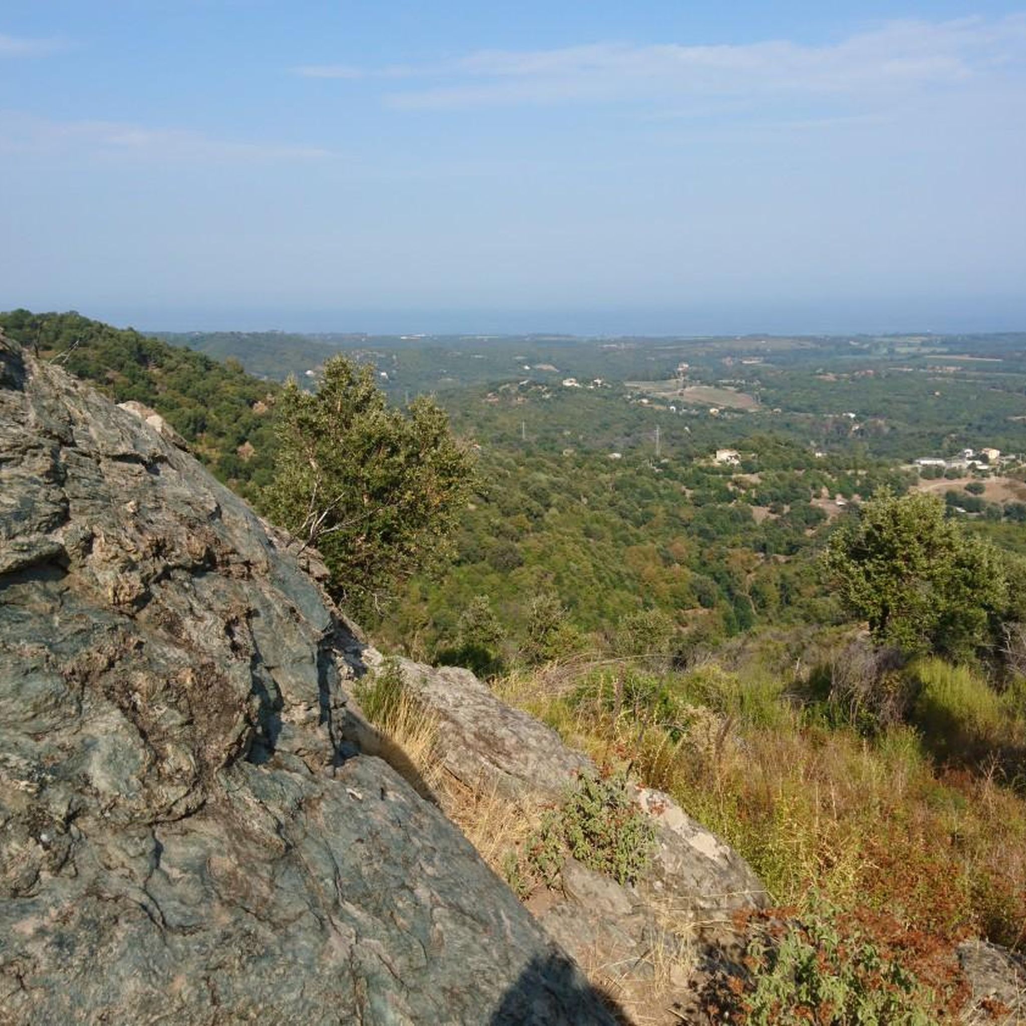
Located at 820 meters above sea level, Pianello is made up of a total of four hamlets. In the heart of the Bravone valley, the village benefits from a remarkable natural environment. Notably its centuries-old chestnut grove at the entrance to the village or the Bravone waterfall.
0
0

Nice hike - there is just the passage below Perelli which is not well marked and not pleasant (path not well maintained).
0
0

Pianellu is a wonderful village with very welcoming inhabitants. Particularly, I recommend this gîte, the cooking is amazing and tue view is stunning overlooking the sea from the mountains…
0
0
Pianellu is a typical village in the mountains offering as well from the place de l’église in front of the gîte a wonderful view on the sea. The cook at the refuge/gîte prépare amazing dinner, I highly recommend a stop there !
1
0

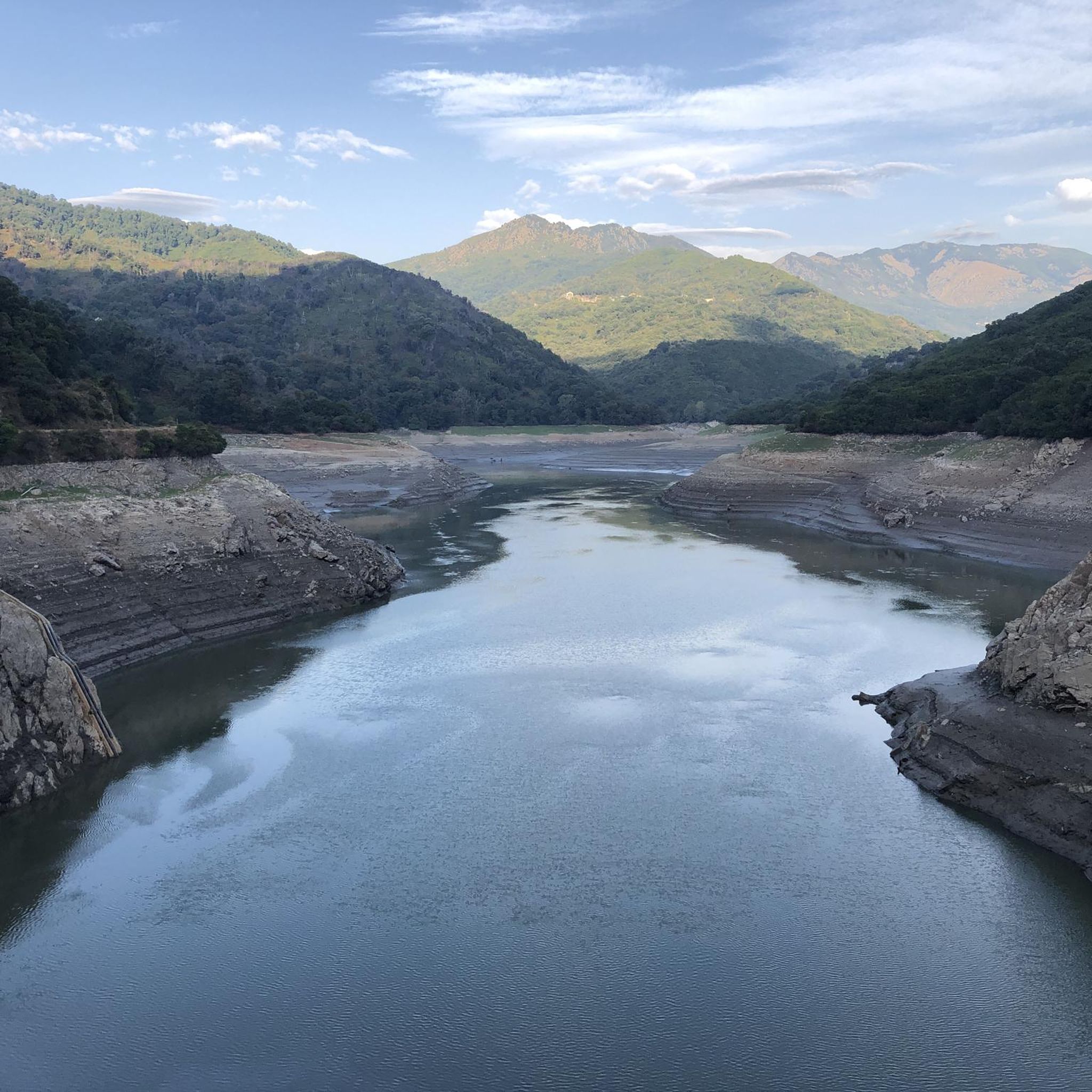
The bridge over the Busso was the turning point of our bike ride around the reservoir into the Valle d'Alesani. Coming from Chiatra we drove clockwise on the narrow, small road (D17) to Novale and then crossed to Ortale. The return trip down we let the wheels roll happily on valley on the clear wide road. It is highly recommended to drive the route so, because the poor condition of the small road is to enjoy the hilltop rather than downhill.
0
0
Beautiful old bridge over the torrent.
1
0

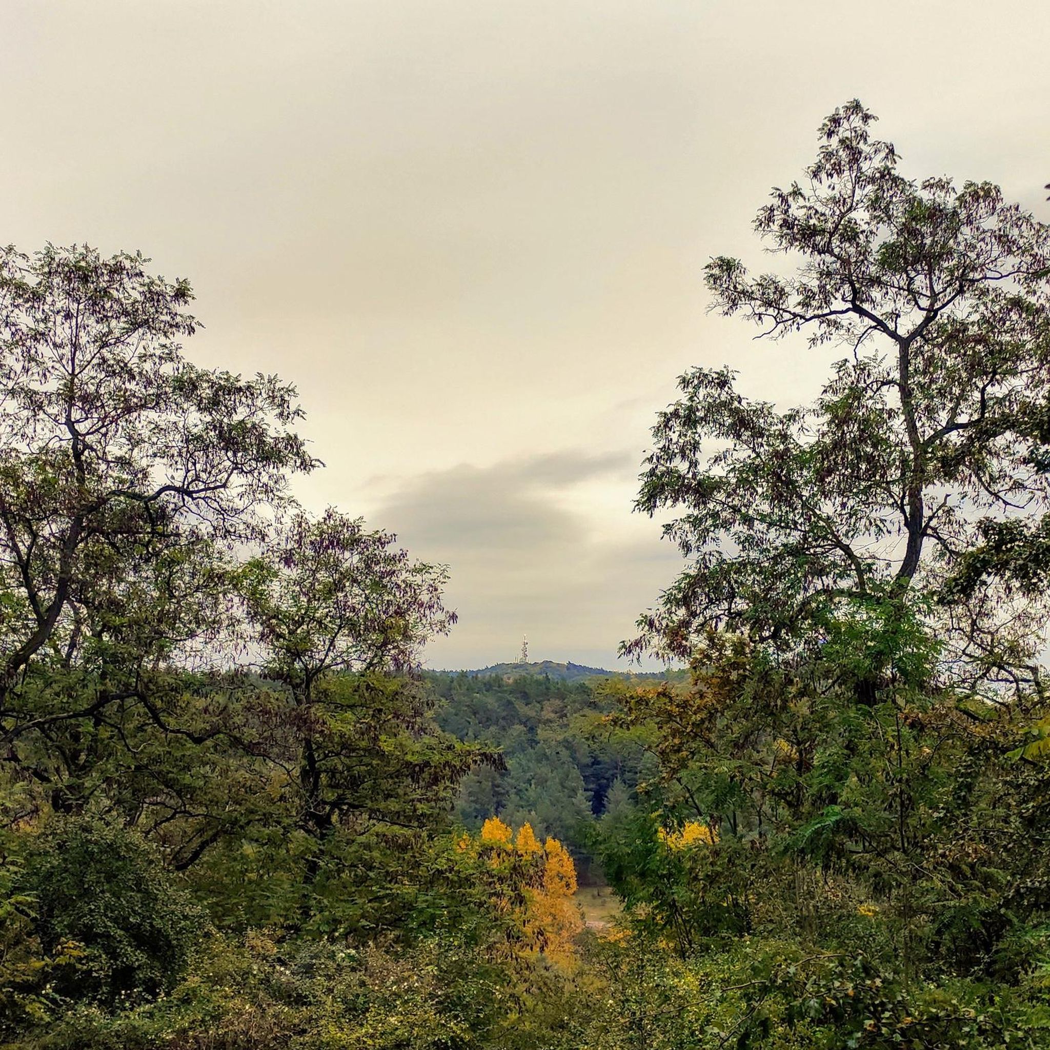
Here you can decide if you want to completely hike the eight, or you are satisfied with a zero. In any case, ideal for a rest, you have in almost all directions beautiful views and the clearing in the scrubland offers good seating.
3
0
Frequently Asked Questions
What is the general difficulty of hiking trails around Zalana?
Hiking around Zalana offers a range of difficulties. You'll find approximately 4 easy trails, 14 moderate trails, and 5 difficult trails, catering to various fitness levels. The terrain often includes rolling hills and valleys.
What kind of terrain and landscapes can I expect on hikes in Zalana?
Hikes in Zalana typically feature rolling hills and valleys, often characterized by dense Mediterranean vegetation. You might also encounter historical elements like old bridges and scenic waterfalls along some routes. The terrain varies from gentle paths to more challenging ascents.
Are there any family-friendly hiking options in Zalana?
Yes, there are several easy trails suitable for families. An example is the View of Pianello – Pianellu and its wonderful gite loop from Pianello, which is 3.2 miles (5.1 km) long and generally takes about 1 hour 37 minutes to complete.
Can I bring my dog on hiking trails in Zalana?
While specific regulations can vary, generally, dogs are welcome on many trails in the region. It's always recommended to keep your dog on a leash to protect local wildlife and ensure a pleasant experience for all hikers. Please check for any local signage regarding dog policies on specific routes.
Are there any circular hiking trails around Zalana?
Yes, many routes in Zalana are designed as loops. For instance, the Figure-eight knot loop from Tox is a moderate 4.4 miles (7.1 km) path that navigates through varied terrain. Another option is the Genoese bridge Ponte d'Alisu loop from Matra, an easy 2.2 miles (3.6 km) trail.
What are some interesting landmarks or attractions to see near Zalana while hiking?
The area around Zalana offers several points of interest. You can explore mountain passes like San Gavinu Pass or Perelli Pass. There's also the Alesani Dam and the historic Chapel of Madonna di Cervione.
Are there any viewpoints on the hiking trails in Zalana?
Yes, you can find scenic viewpoints in the vicinity. For example, the High-altitude route between Bustanico and Sermano offers expansive views of the surrounding landscape.
What do other hikers enjoy most about hiking in Zalana?
The area is highly rated by the komoot community, with an average score of 4.4 stars from over 50 reviews. Hikers often praise the diverse terrain, from rolling hills to scenic valleys, and the presence of natural features like waterfalls and historical elements such as old bridges.
Are there any hikes that feature waterfalls around Zalana?
The region's intro mentions that waterfalls are a notable natural feature in the vicinity, providing scenic points along some routes. While specific named waterfall trails are not detailed in the provided routes, the general landscape suggests you may encounter them.
What is the best time of year to go hiking in Zalana?
While specific seasonal details are not provided, regions with Mediterranean vegetation like Zalana often offer pleasant hiking conditions in spring and autumn, when temperatures are milder. Summer can be warm, and winter might bring cooler, potentially wetter weather.
How many hiking trails are available in the Zalana area?
There are over 20 hiking trails available around Zalana, offering a good variety of options for different skill levels and preferences.
Are there any long-distance hiking options or multi-day trails near Zalana?
While the provided data focuses on day hikes, the presence of mountain passes like Col Sant'Antone and a High-altitude route between Bustanico and Sermano suggests connections to longer networks. For multi-day planning, it's advisable to consult detailed regional maps.
Where can I find parking for hiking trails in Zalana?
Specific parking information for individual trailheads is not detailed in the guide. However, for routes starting from villages like Pianello or Matra, you can typically find local parking facilities. It's always best to check local signage upon arrival.
Most popular attractions around Zalana

Get inspired with the komoot mobile app


Explore more
Browse the best Hikes in other regions.
