The best walks and hikes around Montsalès
4.3
(222)
948
hikers
81
hikes
Hiking around Montsalès offers diverse trails through a landscape characterized by limestone plateaus, river valleys, and dense woodlands. The region features a mix of open fields, historic sites, and rural paths. These physical features provide varied terrain for hikers of all levels. Montsalès is situated in an area known for its natural beauty and tranquil surroundings.
Best hiking trails around Montsalès
- The most popular hiking route is Foissac Dolmens Trail, an easy 3.3 miles (5.4 km) trail that takes…
Last updated: July 2, 2026
4.2
(11)
42
hikers
5.38km
01:26
50m
50m
Easy hike. Great for any fitness level. Easily-accessible paths. Suitable for all skill levels.
4.0
(16)
45
hikers
18.8km
05:21
420m
420m
Hard hike. Very good fitness required. Easily-accessible paths. Suitable for all skill levels.

Sign up for free
4.0
(2)
12
hikers
11.9km
03:31
330m
340m
Moderate hike. Good fitness required. Easily-accessible paths. Suitable for all skill levels.
4.5
(2)
4
hikers
10.7km
03:00
200m
200m
Moderate hike. Good fitness required. Mostly accessible paths. Sure-footedness required.
5.0
(2)
4
hikers
9.31km
02:33
150m
150m
Moderate hike. Good fitness required. Easily-accessible paths. Suitable for all skill levels.
Get access to more routes and recommendations from other explorers.
Sign up for free
Already have an account?
Our route recommendations are based on thousands of hikes, rides, and runs completed by other people on komoot.
Start today with a free account
Your next adventure awaits.
Login or Signup
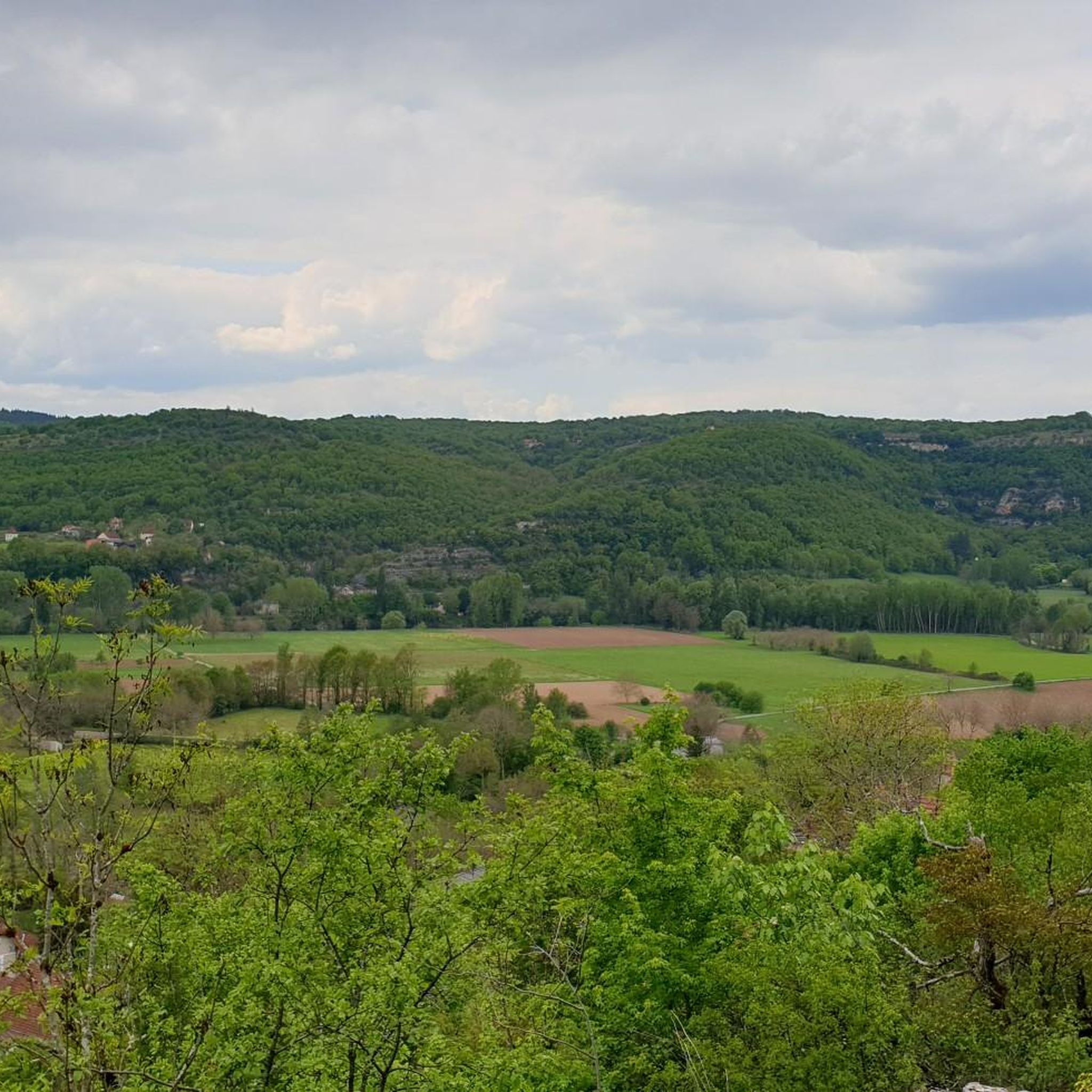
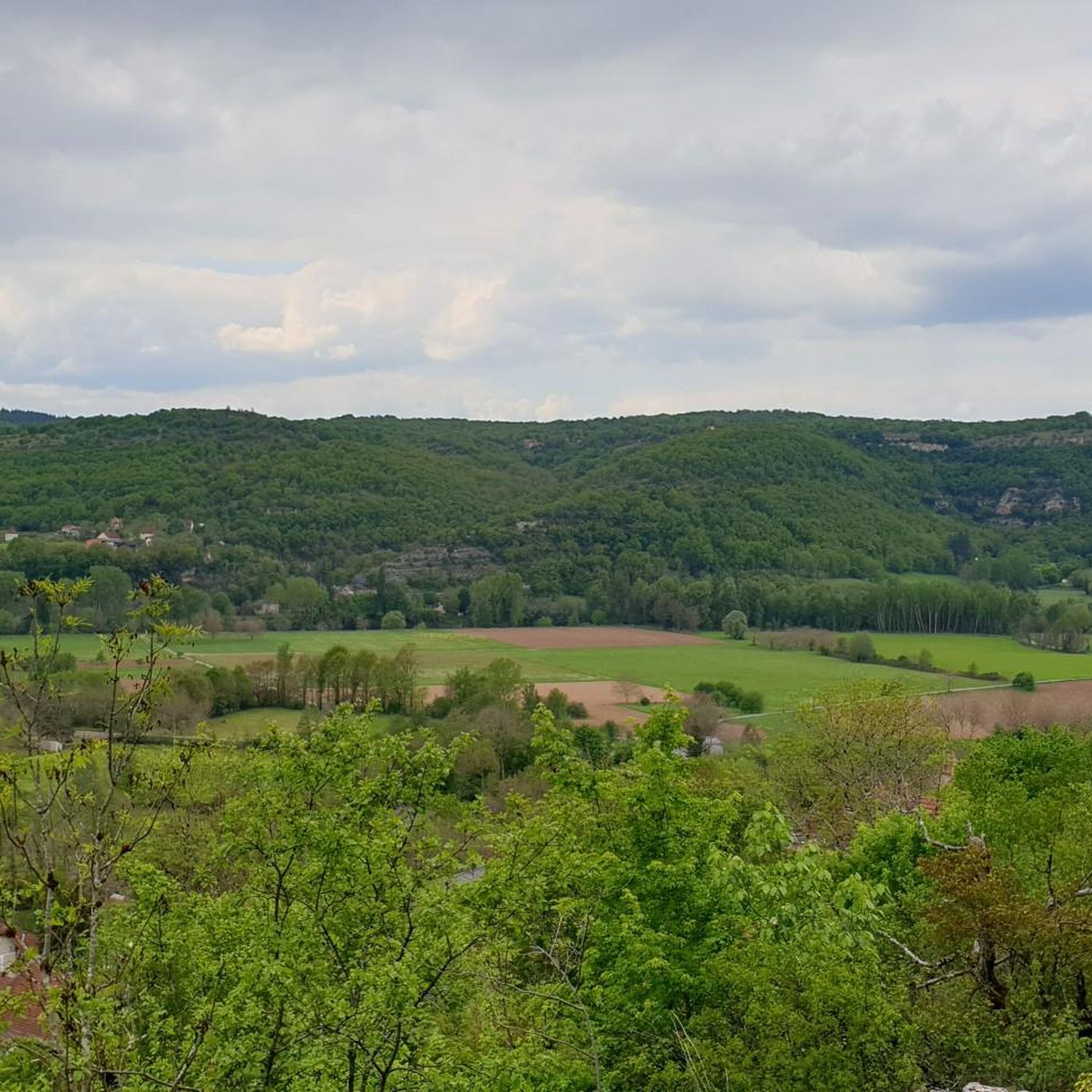
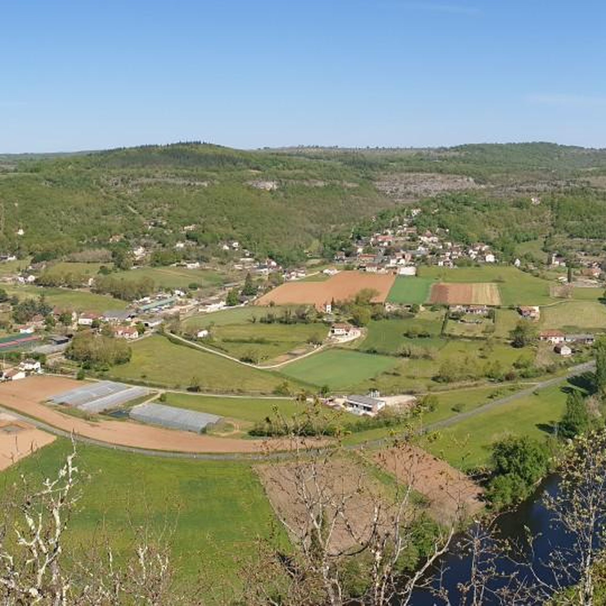


Tips from the Community

It's a dolmen x) No, seriously, if I can give you some advice about this place, if you go there during the day, take water, there isn't much shade in this area :')
0
0

Not really recommended. The narrow forest paths with cobblestones seem endless.
0
0

Nice little place with lots of places to stop for a break.
0
0


Traces of Stone Age people are often found in the numerous grottos and caves near Vajarc. The dolmens near Béduer also testify that the area was already inhabited in the Neolithic period.
1
0

Beautiful sites, Lot and Célé valleys, must-sees by bike
1
0
Very often I forget to walk, I often do it living nearby
1
0

Very nice easy hike with beautiful viewpoints
1
0
Frequently Asked Questions
How many hiking trails are available around Montsalès?
Montsalès offers a wide selection of over 80 hiking routes. These trails cater to various skill levels, from easy strolls to more challenging excursions through the region's diverse landscapes.
Are there easy or family-friendly hiking options in Montsalès?
Yes, Montsalès has plenty of easy and family-friendly trails. There are 34 easy routes, perfect for a relaxed outing. A great option is the Foissac Dolmens Trail, an easy 3.3-mile (5.4 km) path featuring ancient megalithic structures.
What kind of landscapes can I expect to see while hiking in Montsalès?
The region around Montsalès is characterized by diverse landscapes, including limestone plateaus, scenic river valleys, and dense woodlands. You'll encounter a mix of open fields, historic sites, and tranquil rural paths, offering varied terrain and beautiful views.
Are there any challenging hikes for experienced trekkers?
Absolutely. For those seeking a more strenuous adventure, Montsalès offers 7 difficult routes. One such challenging option is the Cajarc town centre – Cajarc loop from Montbrun, which spans 11.7 miles (18.8 km) with significant elevation changes.
What do other hikers enjoy most about the trails in Montsalès?
The hiking routes in Montsalès are highly rated by the komoot community, with an average score of 4.4 stars from over 190 reviews. Hikers often praise the varied terrain, the tranquil surroundings, and the well-maintained paths that lead through historic sites and natural beauty.
Are there circular hiking routes available in Montsalès?
Yes, many routes in Montsalès are circular, allowing you to start and end at the same point. For example, the Heron Barn – Lavoir de Balaguier-d'Olt loop from Balaguier-d'Olt is a moderate 7.4-mile (11.9 km) loop offering views of the Olt valley and rural landscapes.
What are some interesting landmarks or attractions to see along the trails?
Montsalès is rich in historical and natural landmarks. You can explore ancient sites like the Dolmen de Martignes or the Dolmen du Cloup de Rhines. Natural highlights include the impressive Gouffre du Lantouy and the scenic Saut de la Mounine viewpoint.
Are there any picturesque villages or towns to visit near the hiking routes?
Several charming settlements are close to the hiking trails. Consider visiting the medieval town center of Villeneuve-d'Aveyron, the historic village of Larroque-Toirac, or the picturesque Cajarc, all offering unique insights into the region's heritage.
What is the best time of year to go hiking in Montsalès?
The region's climate generally makes spring and autumn ideal for hiking, with pleasant temperatures and vibrant natural colors. Summer can also be enjoyable, especially for early morning or late afternoon hikes to avoid the midday heat. Winter hiking is possible, though some paths might be muddy or require appropriate gear.
Can I find routes that lead through dense woodlands?
Yes, Montsalès is known for its dense woodlands, and many trails weave through them. The Hiking loop from Saujac, for instance, is a 6.6-mile (10.6 km) trail that takes you through both woodlands and open fields, offering a varied forest experience.
Are there any routes that offer good viewpoints?
Many trails in Montsalès provide excellent viewpoints, especially those traversing the limestone plateaus and river valleys. The Saut de la Mounine is a notable viewpoint that offers panoramic vistas of the surrounding landscape.
What kind of terrain should I expect on the trails?
The terrain around Montsalès is varied, ranging from gentle paths through open fields to more rugged sections in dense woodlands and along river valleys. You'll encounter limestone plateaus, which can sometimes be rocky, and rural paths that are generally well-maintained.
Most popular routes around Montsalès
Most popular attractions around Montsalès

Get inspired with the komoot mobile app


Explore more
Browse the best Hikes in other regions.
