The best running trails around Malarce-Sur-La-Thines
4.5
(121)
1,196
runners
157
runs
Jogging around Malarce-Sur-La-Thines offers diverse landscapes and extensive trail networks within the Ardèche department of France. The region features varied topography, with elevations ranging from 172 meters at the Chassezac riverbank to 1,062 meters north of Thines. Prominent natural features include the Chassezac Gorges, which provide panoramic views and varied terrain, and the Bois de Païolive, known for its unique geological formations. The area's well-maintained paths cater to different difficulty levels, allowing runners to explore its rich flora and fauna.
…Last updated: July 8, 2026
5.0
(6)
9
runners
6.28km
00:43
190m
180m
Moderate run. Good fitness required. Mostly paved surfaces. Suitable for all skill levels.
10
runners
8.97km
01:08
250m
250m
Moderate run. Good fitness required. Mostly paved surfaces. Suitable for all skill levels.

Sign up for free
5
runners
11.3km
01:29
380m
380m
Hard run. Very good fitness required. Mostly paved surfaces. Suitable for all skill levels.
7
runners
12.6km
01:53
700m
700m
Hard run. Very good fitness required. Mostly paved surfaces. Suitable for all skill levels.
4
runners
10.7km
01:19
230m
230m
Moderate run. Good fitness required. Mostly accessible paths. Some sure footedness required.
Get access to more routes and recommendations from other explorers.
Sign up for free
Already have an account?
Our route recommendations are based on thousands of hikes, rides, and runs completed by other people on komoot.
Start today with a free account
Your next adventure awaits.
Login or Signup
Tips from the Community

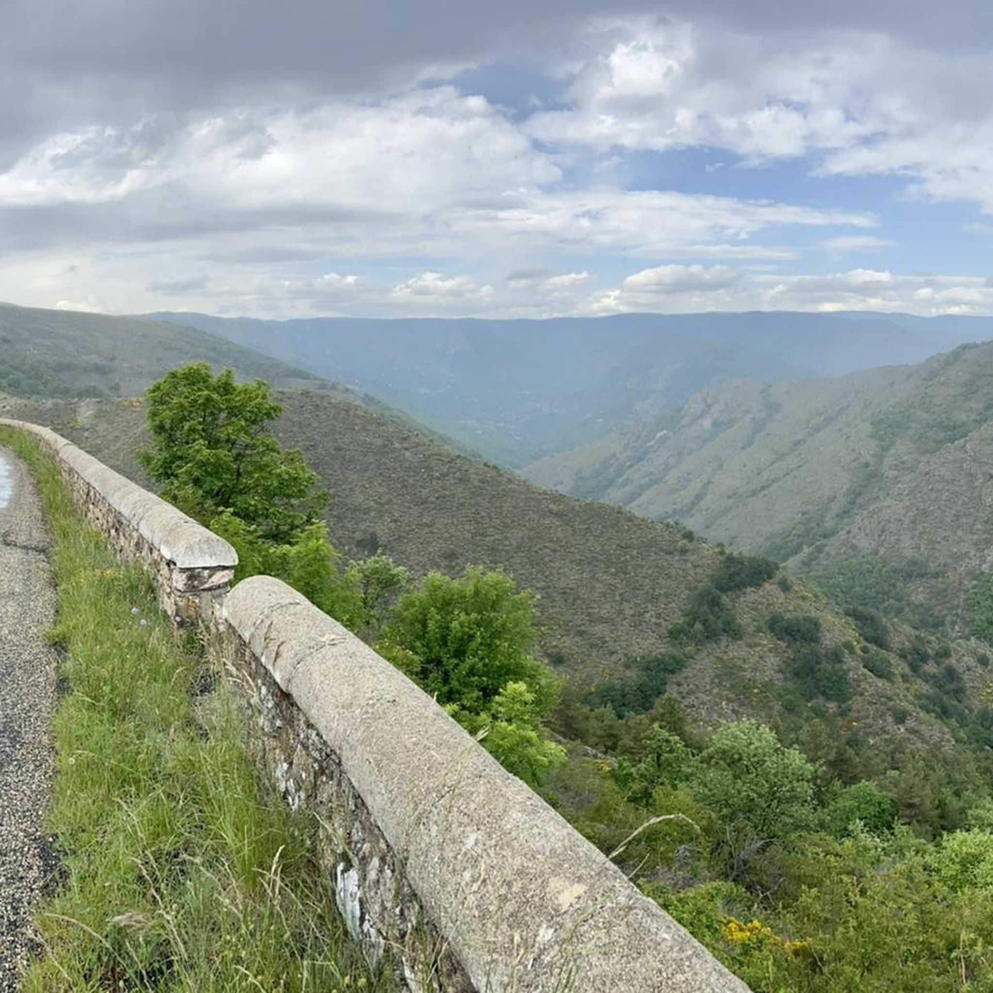
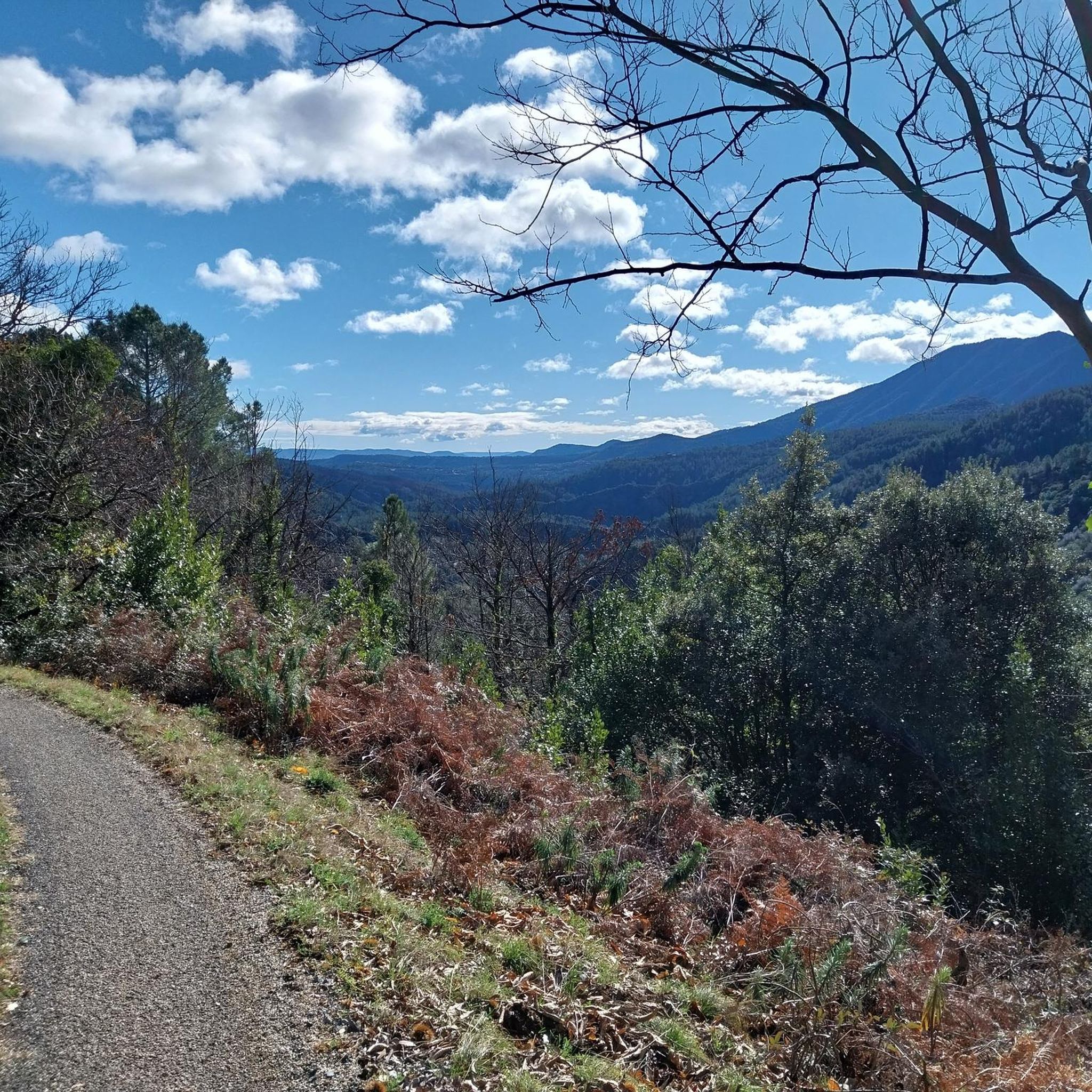
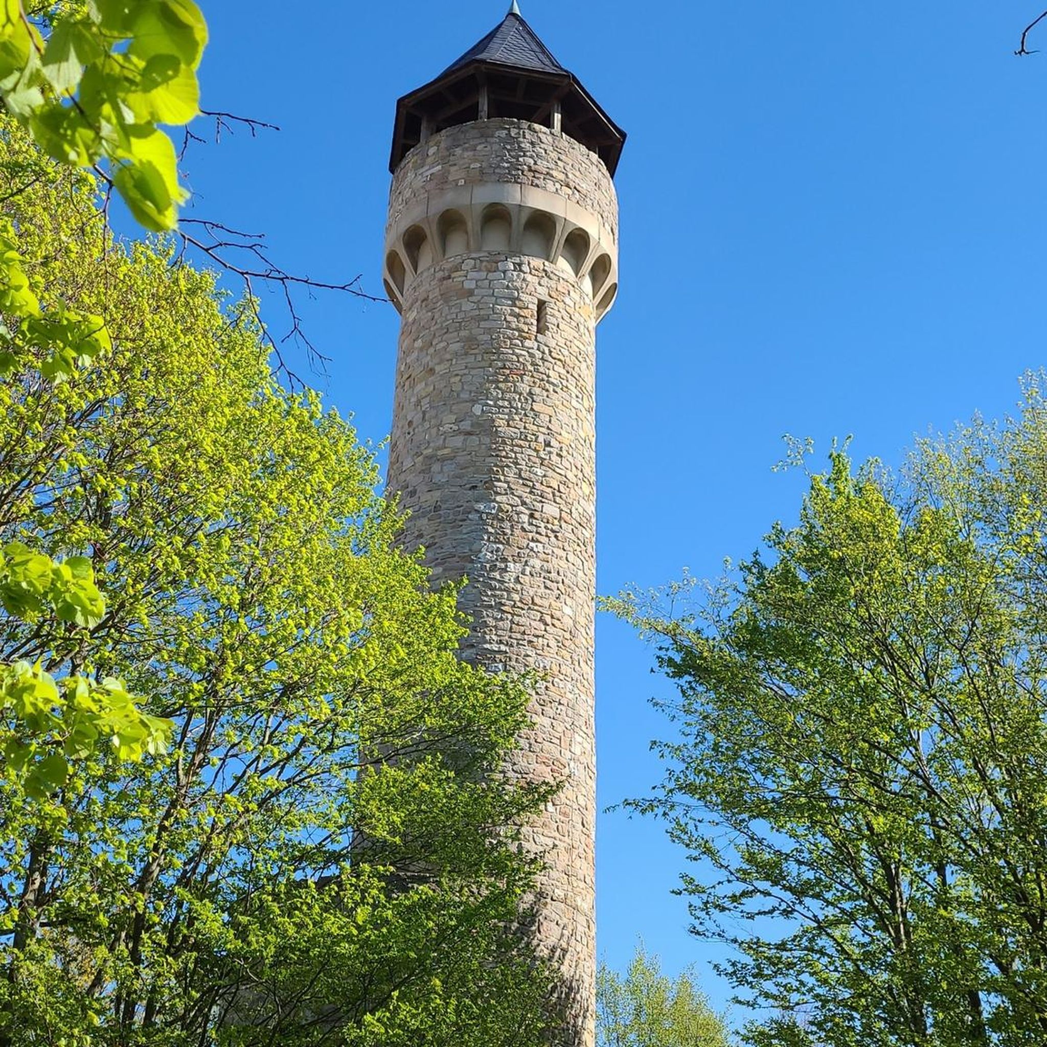
We don't know what the purpose was, but the view is great
1
0


Beautiful summit with a wonderful view
4
0
Beautiful summit with great views
5
0

The Chassezac, a winding river that crosses the Cévennes and the Ardèche, offers an exceptional natural setting for outdoor enthusiasts. Its spectacular gorges, surrounded by limestone cliffs and green forests, create a perfect setting for outdoor activities such as canoeing, hiking or climbing. The crystal-clear waters of the Chassezac invite you to swim or take a refreshing break in the heart of wild nature.
1
0

A great pass to climb!! Well shaded throughout its 15 km climb.. not too much traffic for the moment!!!
0
0

Another small and pittoresque crossing of Chassezac. With a nice climb and beatifull hairpins!
0
0

A magnificent view after a good hour of walking. On a clear day, you can see Mont Ventoux from this summit, which culminates timidly at 909 metres.
2
0
Frequently Asked Questions
How many running routes are available in Malarce-Sur-La-Thines?
Malarce-Sur-La-Thines offers a wide selection of running routes, with over 130 trails available. These range from easy paths to more challenging runs, catering to various fitness levels.
What is the best time of year to go running in Malarce-Sur-La-Thines?
The region benefits from a Mediterranean climate, making it suitable for running for much of the year. Spring and autumn generally offer the most pleasant temperatures for outdoor activities. While summer can be warm, the varied topography provides both shaded and sunny spots, and routes along the Chassezac River can offer a refreshing experience.
What do other runners say about the trails in Malarce-Sur-La-Thines?
The running routes in Malarce-Sur-La-Thines are highly rated by the komoot community, with an average score of 4.5 stars from over 100 reviews. More than 1000 runners have used komoot to explore the area's varied terrain, often praising the diverse landscapes and well-maintained paths.
Are there routes suitable for beginners or those looking for an easy jog?
Yes, Malarce-Sur-La-Thines has several easy running routes. There are 7 easy trails available, perfect for beginners or those seeking a relaxed jog. These routes allow you to enjoy the scenery without significant challenges.
What kind of terrain can I expect on the running trails?
You can expect a diverse range of terrain. The region features varied topography, from the riverbanks of the Chassezac to elevations over 1,000 meters. Trails can take you through the magnificent Chassezac Gorges, offering panoramic views, or through the unique geological formations of the nearby Bois de Païolive. Some areas, like the Labyrinth of Rocks of the Cévennes, present a rocky and partly alpine environment.
Are there any circular running routes in the area?
Yes, many of the running routes in Malarce-Sur-La-Thines are circular. For example, the challenging route The Alauzas – Serre de Barre Summit loop from Gravières offers a substantial circular experience, while Chassezac Crossing – Chassezac River loop from Malarce-sur-la-Thines provides a moderate loop with river views.
What natural attractions can I see while jogging?
While jogging, you can encounter several natural attractions. The Chassezac Gorges are a prominent feature, offering breathtaking panoramas. You might also pass by the unique rock formations of the Labyrinth of Rocks of the Cévennes or enjoy views of Lac de Villefort. The nearby Bois de Païolive is also a site of natural beauty with ancient forests.
Are there any historical or cultural points of interest along the routes?
Yes, the commune is composed of 70 hamlets, and running through areas like Thines allows you to appreciate historic sites. You can discover the Romanesque Church of Notre Dame de Thines and the Monument to the Resistance, adding a unique cultural dimension to your run.
Where can I find parking near the running trails?
Parking availability varies by trailhead. Many routes, particularly those starting from villages like Gravières or Malarce-sur-la-Thines, will have designated parking areas. It's advisable to check specific route details on komoot for parking information related to your chosen trail.
Is public transport available to access the running routes?
While Malarce-Sur-La-Thines is a rural area, some local bus services might connect to larger towns. However, direct public transport access to all trailheads may be limited. For flexibility, driving to the starting points of the routes is often the most convenient option.
Are there any challenging running routes for experienced runners?
Absolutely. For experienced runners seeking a challenge, Malarce-Sur-La-Thines offers 54 difficult routes. An example is the Serre de Barre Summit – The Alauzas loop from Gravières, which features significant elevation gain and requires good fitness and sure-footedness, akin to alpine experiences.
Can I find routes with scenic viewpoints?
Yes, the region is known for its grandiose landscapes and offers numerous routes with stunning viewpoints. The Chassezac Gorges, in particular, provide magnificent panoramas. Many trails ascend to higher elevations, such as the route towards Serre de Barre Summit, offering expansive views of the surrounding Ardèche department.
Most popular routes around Malarce-Sur-La-Thines
Most popular attractions around Malarce-Sur-La-Thines

Get inspired with the komoot mobile app


Explore more
Browse the best Running Trails & Routes in other regions.
