The best walks and hikes around Saint-Étienne-De-Boulogne
4.6
(802)
3,806
hikers
157
hikes
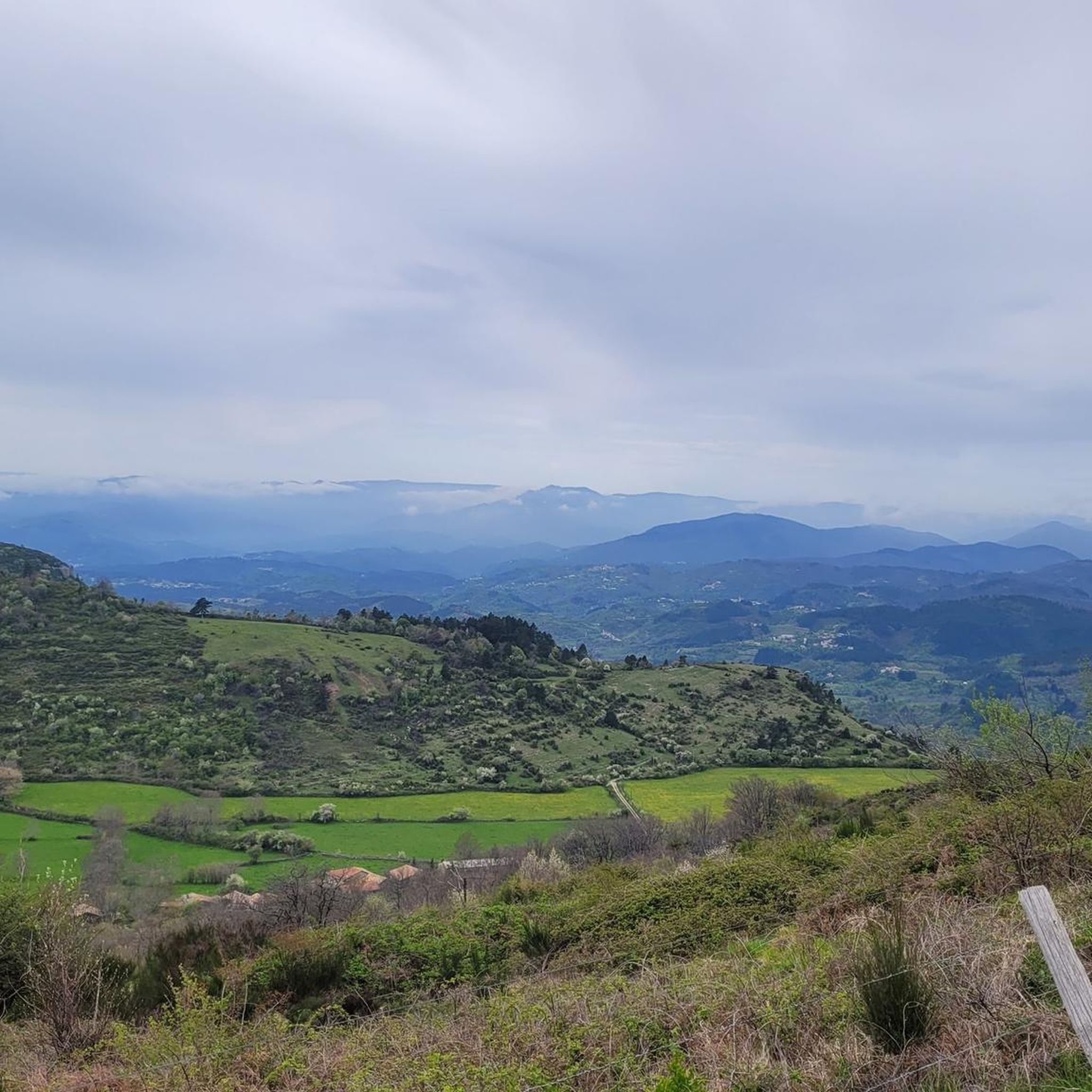
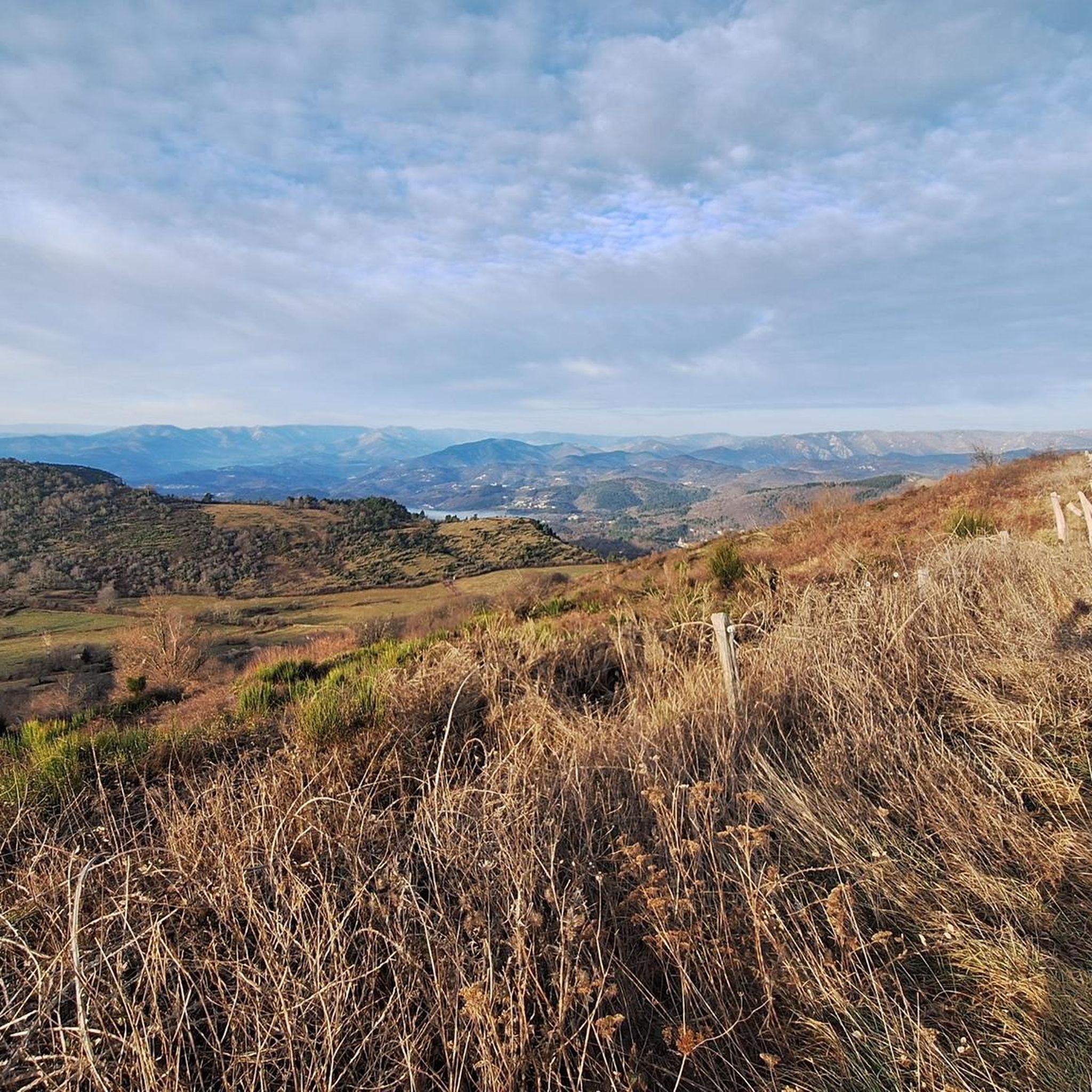
Hiking trails around Saint-Étienne-De-Boulogne offer diverse landscapes within the Ardèche region, featuring varied terrain from wooded valleys to exposed ridges. The area provides expansive vistas of the Monts d'Ardèche, the Tanargue, and Mont Lozère. Geological diversity is a prominent feature, with ravines and cliffs also present.
Best hiking trails in Saint-Étienne-De-Boulogne
- The most popular hiking route is View of the Monts d'Ardèche – Northeast panorama loop from Le Feschet, a 3.5 miles (5.6 km) trail that takes 1 hour…
Last updated: June 29, 2026
4.3
(4)
46
hikers
5.58km
01:34
120m
120m
Easy hike. Great for any fitness level. Easily-accessible paths. Suitable for all skill levels.
4.6
(7)
45
hikers
13.9km
04:21
530m
530m
Moderate hike. Good fitness required. Easily-accessible paths. Suitable for all skill levels.

Sign up for free
4.8
(12)
30
hikers
7.76km
02:17
220m
220m
Moderate hike. Good fitness required. Easily-accessible paths. Suitable for all skill levels.
5.0
(4)
23
hikers
13.6km
03:56
340m
340m
Moderate hike. Good fitness required. Easily-accessible paths. Suitable for all skill levels.
5.0
(7)
17
hikers
7.67km
02:45
350m
350m
Moderate hike. Good fitness required. Mostly accessible paths. Sure-footedness required.
Get access to more routes and recommendations from other explorers.
Sign up for free
Already have an account?
Our route recommendations are based on thousands of hikes, rides, and runs completed by other people on komoot.
Start today with a free account
Your next adventure awaits.
Login or Signup

Tips from the Community

attention crossing of private property (larch alley)
0
0

Pretty well preserved ruins. On a not too busy road. Ideal for cycling ;)
0
0

Very nice easy hike, mostly in the forest and shaded.
1
0

Ruin of the Chateau de Boulogne
0
1
Frequently Asked Questions
How many hiking trails are available around Saint-Étienne-De-Boulogne?
There are over 150 hiking trails around Saint-Étienne-De-Boulogne, offering a wide range of options for all fitness levels. This includes approximately 60 easy routes, 87 moderate trails, and a few more challenging treks.
What kind of terrain can I expect on hikes in Saint-Étienne-De-Boulogne?
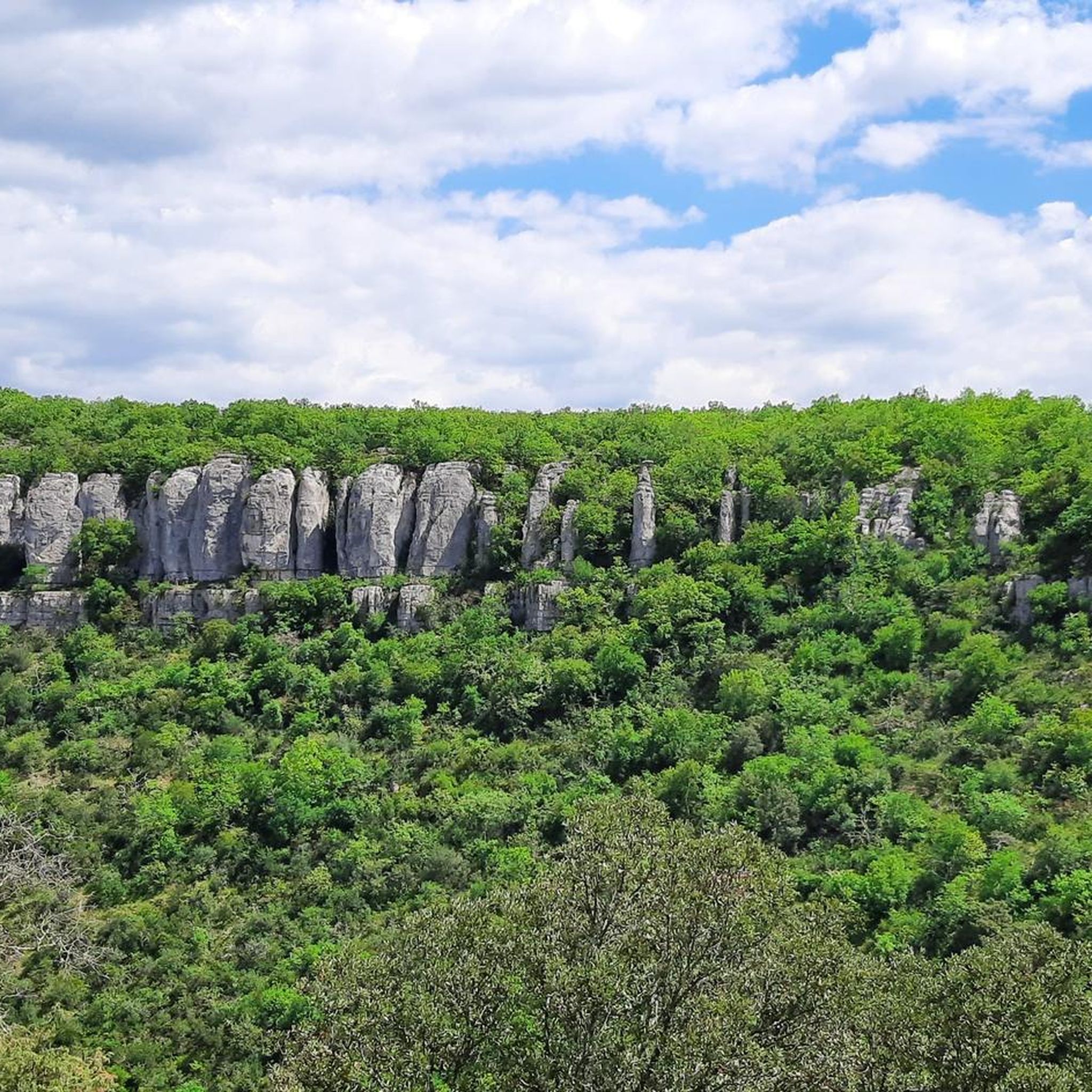
The hiking paths in Saint-Étienne-De-Boulogne traverse diverse landscapes. You'll find refreshing, wooded valleys, traditional chestnut groves, and exposed, barren ridges. The region is also known for its geological diversity, featuring impressive ravines and cliffs, such as those in the Louyre ravine.
Are there easy hiking options suitable for beginners or families?
Yes, Saint-Étienne-De-Boulogne offers numerous easy hiking options perfect for beginners or families. An example is the View of the Monts d'Ardèche – Northeast panorama loop from Le Feschet, an easy 5.6 km route that provides panoramic views without significant elevation gain.
Are there any challenging hikes for experienced hikers?
While the majority of trails are easy to moderate, there are 8 more challenging routes available for experienced hikers seeking a greater test. For those looking for longer adventures, a satellite loop of the GRP des Hautes Cévennes connects Ajoux to Saint-Étienne-De-Boulogne over two days, passing through notable points like the Col de l'Escrinet and Col de Sarrasset.
What are the best trails for panoramic views in the area?
For exceptional panoramic views, consider the Roche de Gourdon loop from Saint-Étienne-de-Boulogne. This 13.9 km trail leads to the summital platform of the Roche de Gourdon, offering 360-degree vistas of the Monts d'Ardèche, the Tanargue, Mont Lozère, and the Aubenas basin. On clear days, you might even spot the distant Alps.
Are there any historical sites or landmarks I can visit while hiking?
Yes, several trails incorporate historical sites. The Boulogne Castle – View of the Ardèche loop from Saint-Michel-de-Boulogne, for instance, includes the ruins of Boulogne Castle, an 11th-century monument. Other nearby attractions include Jastres Oppidum and La Roche Castle.
Can I find trails that highlight the region's unique geology?
Absolutely. The Ardèche region is known for its geological diversity. There are dedicated geological discovery trails, such as 'The Geological Trail of St-Etienne de Boulogne', which is approximately 11.5 km long. These trails feature interpretive panels explaining the contrasting rock formations and even pass remnants of a short-lived tramway line from the early 20th century.
Are there any notable natural features to look out for on the trails?
Beyond the panoramic views, you'll encounter diverse natural features. The Col de l'Escrinet is a significant natural landmark with a discovery trail, 'de l'Hirondelle au Sanglier', highlighting local flora and fauna. The ravine of Louyre features impressive cliffs, and many trails wind through refreshing wooded valleys and traditional chestnut groves.
Are there many circular hiking routes available?
Yes, Saint-Étienne-De-Boulogne offers a good selection of circular hiking routes. Many popular trails, such as the View of the Monts d'Ardèche – Northeast panorama loop from Le Feschet and the Roche de Gourdon loop from Saint-Étienne-de-Boulogne, are designed as loops, allowing you to start and finish at the same point.
What do other hikers enjoy the most about hiking in Saint-Étienne-De-Boulogne?
The area is highly rated by the komoot community, with an average score of 4.6 stars from over 700 reviews. Hikers frequently praise the diverse landscapes, from wooded valleys to exposed ridges, and the expansive panoramic views of the Monts d'Ardèche. The well-marked inter-communal hiking network is also a highlight for many.
Are there any mountain passes nearby that can be explored?
Yes, the region around Saint-Étienne-De-Boulogne features several mountain passes. Notable ones include Col du Benas (795 m), Col de Fontenelle (718 m), and the Escrinet Pass. These passes often offer stunning views and serve as starting points or waypoints for various hikes.
Is the signage on the hiking trails clear and reliable?
Yes, Saint-Étienne-De-Boulogne benefits from a well-established inter-communal hiking network. The trails are clearly marked with white and yellow blazes and feature standardized departmental signage, making navigation straightforward for hikers.
Most popular routes around Saint-Étienne-De-Boulogne
Most popular attractions around Saint-Étienne-De-Boulogne

Get inspired with the komoot mobile app


Explore more
Browse the best Hikes in other regions.
