The best walks and hikes around Saint-Laurent-Sous-Coiron
4.6
(780)
3,741
hikers
182
hikes
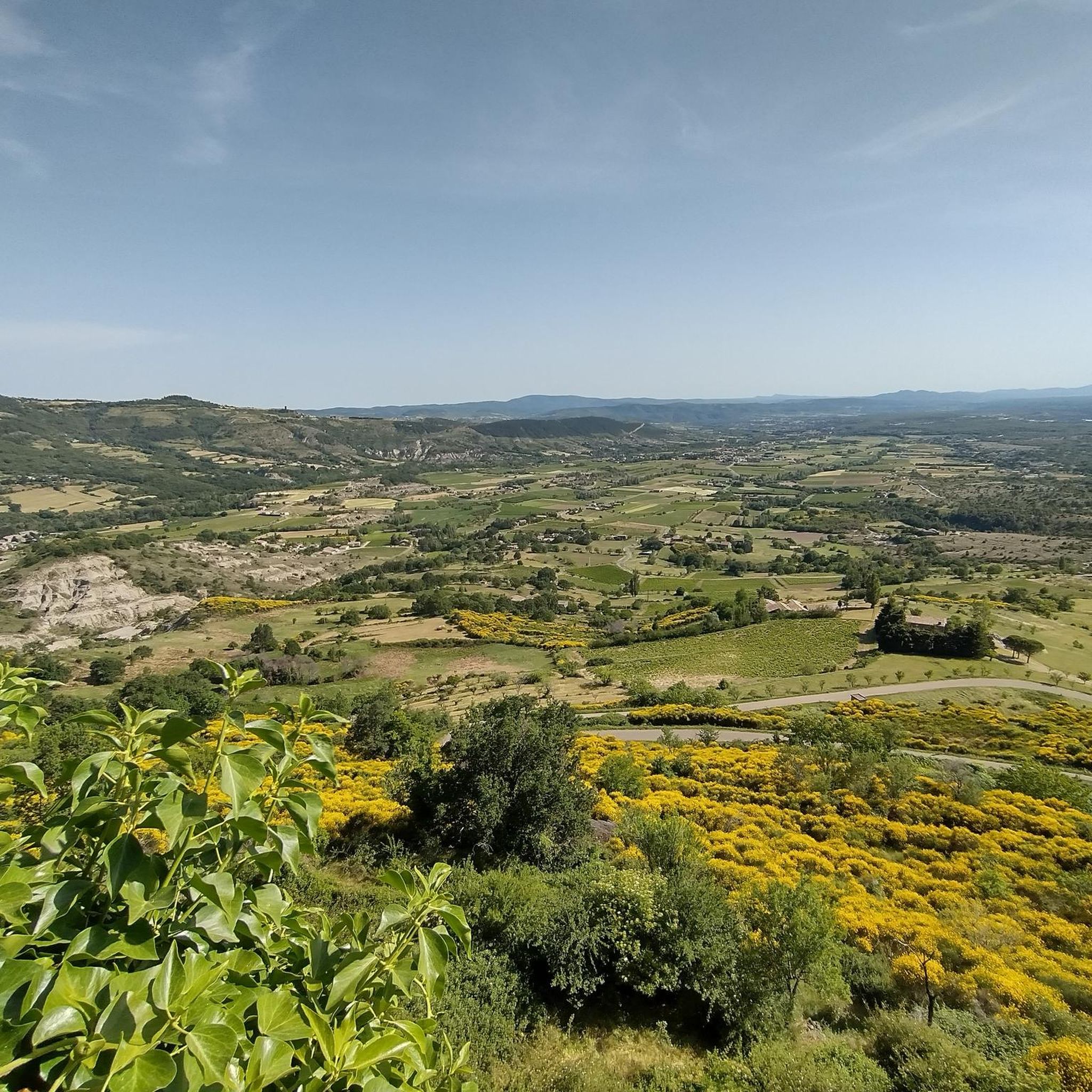
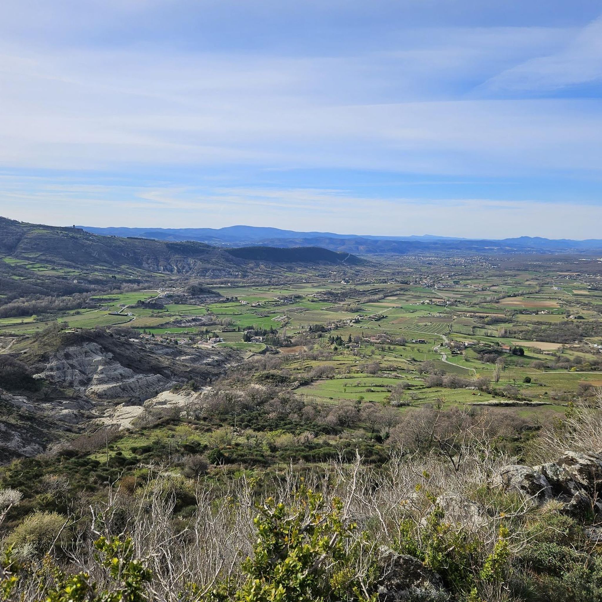
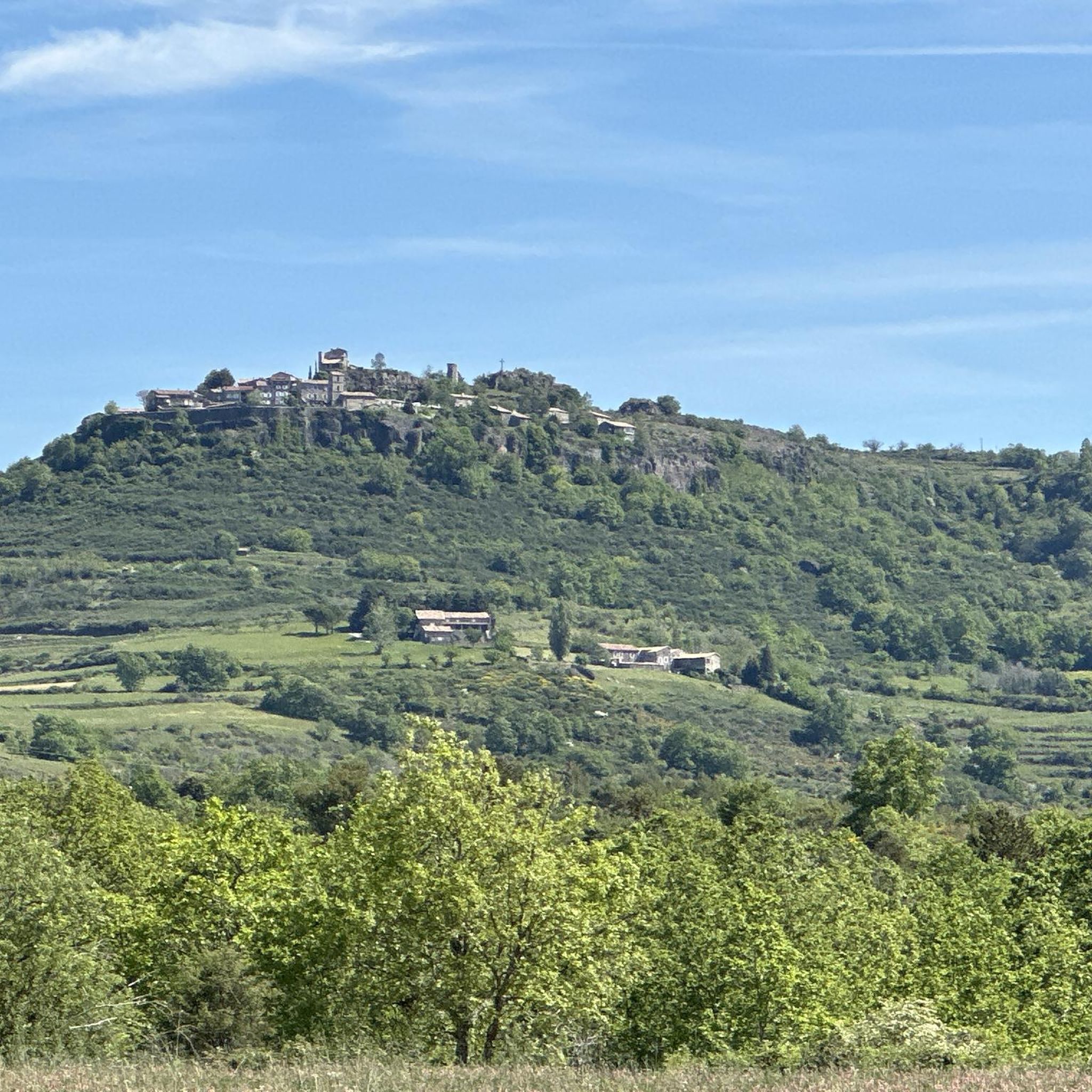
Hiking around Saint-Laurent-Sous-Coiron offers diverse landscapes shaped by volcanic origins, featuring basaltic cliffs and structures. The region is situated on the Coiron plateau, providing expansive panoramic views over the Ardèche mountains and plains. Hikers can explore varied environments, including valleys, gorges, and areas with streams, alongside chestnut groves and cherry orchards. This geological heritage creates a unique topography for outdoor exploration.
Best hiking trails around Saint-Laurent-Sous-Coiron
- The most popular hiking route is Above the Canyon – View of the Louyre…
Last updated: June 30, 2026
4.2
(17)
73
hikers
Moderate hike. Good fitness required. Easily-accessible paths. Suitable for all skill levels.
4.3
(4)
46
hikers
5.58km
01:34
120m
120m
Easy hike. Great for any fitness level. Easily-accessible paths. Suitable for all skill levels.

Sign up for free
5.0
(2)
26
hikers
9.59km
02:43
210m
210m
Moderate hike. Good fitness required. Easily-accessible paths. Suitable for all skill levels.
4.7
(3)
22
hikers
11.1km
03:07
230m
230m
Moderate hike. Good fitness required. Easily-accessible paths. Suitable for all skill levels.
5.0
(7)
17
hikers
7.67km
02:45
350m
350m
Moderate hike. Good fitness required. Mostly accessible paths. Sure-footedness required.
Get access to more routes and recommendations from other explorers.
Sign up for free
Already have an account?
Our route recommendations are based on thousands of hikes, rides, and runs completed by other people on komoot.
Start today with a free account
Your next adventure awaits.
Login or Signup

Tips from the Community

The path was lost for me when I was about to cross back, found again thanks to a cairn (thanks) then lost again a little further up. The GPS is struggling. Quite a few brambles to get out of the canyon on the Lussas side.
0
0

sometimes difficult to follow the route but very pleasant to walk in the (dry) river bed
0
0

No difficulty or difference in altitude, very nice!
1
0

Nice hike taking the path that runs along the canyon above. Nice view
1
1
Warning ⚠️: lost path going down into the gorges after Sevenier. GPS in the cabbages, path eaten by vegetation, landslide,.... ??? We had to turn back
3
1

Road at the edge of the cliff. Remarkable view.
0
0
The start is in the wrong place (currently private land). It is better to continue for 100 meters on the Route de Villeneuve and park the car on the right in the residential area. here the route streets.
0
0
You are not in the canyon as suggested by the fist foto. You have a panoramic view on the canyon from above
3
2
Frequently Asked Questions
How many hiking trails are available around Saint-Laurent-Sous-Coiron?
There are over 180 hiking routes available around Saint-Laurent-Sous-Coiron, catering to various skill levels. This includes 71 easy routes, 101 moderate routes, and 10 more challenging trails, ensuring options for every hiker.
What kind of landscapes can I expect to see while hiking in Saint-Laurent-Sous-Coiron?
Hiking in Saint-Laurent-Sous-Coiron offers a diverse range of landscapes shaped by its volcanic origins. You'll encounter basaltic cliffs and structures, deep valleys like the Louyre, gorges, and streams. The trails also lead through chestnut groves and cherry orchards, especially scenic in autumn and spring, all set against a backdrop of panoramic views over the Ardèche mountains and plains from the Coiron plateau.
Are there any easy, family-friendly hikes in the area?
Yes, Saint-Laurent-Sous-Coiron offers several easy routes suitable for families. An excellent option is the View of the Monts d'Ardèche – Northeast panorama loop from Chamoux, an easy 5.6 km path that provides beautiful panoramic vistas. Another easy choice is the View of Séveniers loop from Saint-Laurent-sous-Coiron, which is 3.7 km long.
What are some notable natural attractions or viewpoints along the trails?
The region is rich in natural beauty and viewpoints. You can find stunning vistas such as the View of the Louyre Canyon and the View of the Issamoulenc Valley. Many trails also feature ridge roads offering expansive 180-degree views over the Ardèche mountains and plains, including features like the Cham du Cros and Montagne Sainte-Marguerite.
Are there any historical or cultural landmarks to explore while hiking?
Absolutely. Hiking routes often pass through or near picturesque medieval villages like Mirabel, known for its tower and basalt cliffs, and Alba-la-Romaine. You can also visit historical sites such as La Roche Castle, which is part of the La Roche Castle – Mirabel Village loop from Darbres trail.
What is the best time of year to go hiking in Saint-Laurent-Sous-Coiron?
The Coiron plateau is particularly scenic in spring when cherry orchards blossom, and in autumn when chestnut groves display vibrant colors. The diverse environments, from bare hills to wooded valley bottoms, offer pleasant hiking conditions across different seasons, though spring and autumn provide exceptional visual appeal.
Are there any circular hiking routes available?
Yes, many trails in Saint-Laurent-Sous-Coiron are circular, allowing you to start and end at the same point. For example, the popular Above the Canyon – View of the Louyre Canyon loop from Saint-Laurent-sous-Coiron is a moderate 10.6 km loop. Another option is the View of the Monts d'Ardèche loop from Vesseaux, a 9.6 km loop through varied terrain.
What do other hikers say about the trails in Saint-Laurent-Sous-Coiron?
The routes in Saint-Laurent-Sous-Coiron are highly rated by the komoot community, with an average score of 4.6 stars from over 700 reviews. Hikers often praise the region's varied terrain, the stunning panoramic views, and the unique volcanic landscapes.
Are there any educational trails or paths to learn about the region?
Yes, the Coiron plateau features trails like 'the learning path' which include educational panels. These panels offer insights into the history, geology, and local life of the area, providing an enriching experience alongside your hike.
Is Saint-Laurent-Sous-Coiron a good base for exploring the wider Ardèche region?
Absolutely. Saint-Laurent-Sous-Coiron serves as an excellent gateway to broader natural wonders of the Ardèche. It's close to the Gorges de l'Ardèche National Nature Reserve, known for its Mediterranean vegetation and the natural arch of Pont d'Arc. Other nearby attractions include the Cascade du Ray-Pic and various caves, making it a strategic starting point for regional exploration.
What is the typical duration for a moderate hike in this area?
Moderate hikes in Saint-Laurent-Sous-Coiron typically range from 2.5 to 3.5 hours. For instance, the Above the Canyon – View of the Louyre Canyon loop from Saint-Laurent-sous-Coiron, a 10.6 km moderate trail, usually takes about 3 hours to complete.
Most popular routes around Saint-Laurent-Sous-Coiron
Most popular attractions around Saint-Laurent-Sous-Coiron

Get inspired with the komoot mobile app


Explore more
Browse the best Hikes in other regions.
