The best road cycling routes around Mézilhac
4.6
(53)
1,364
riders
45
rides
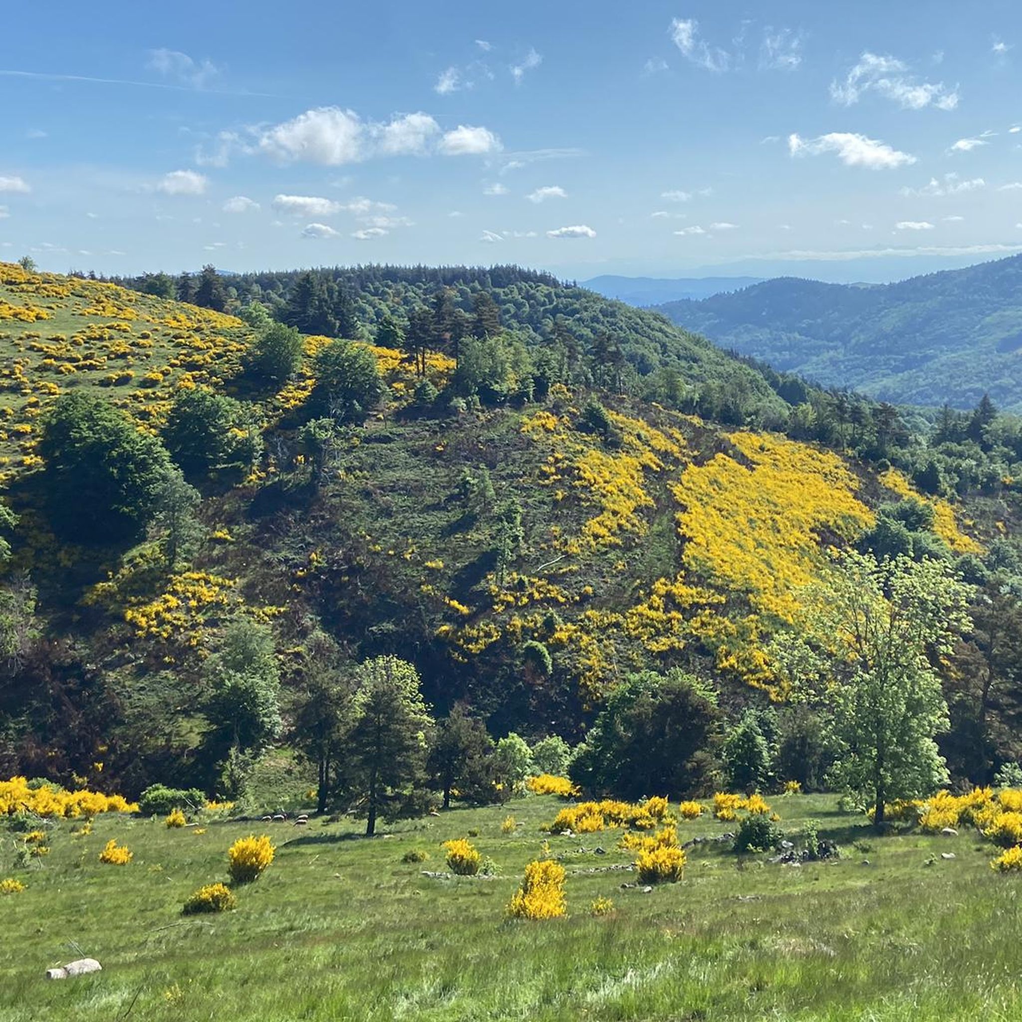
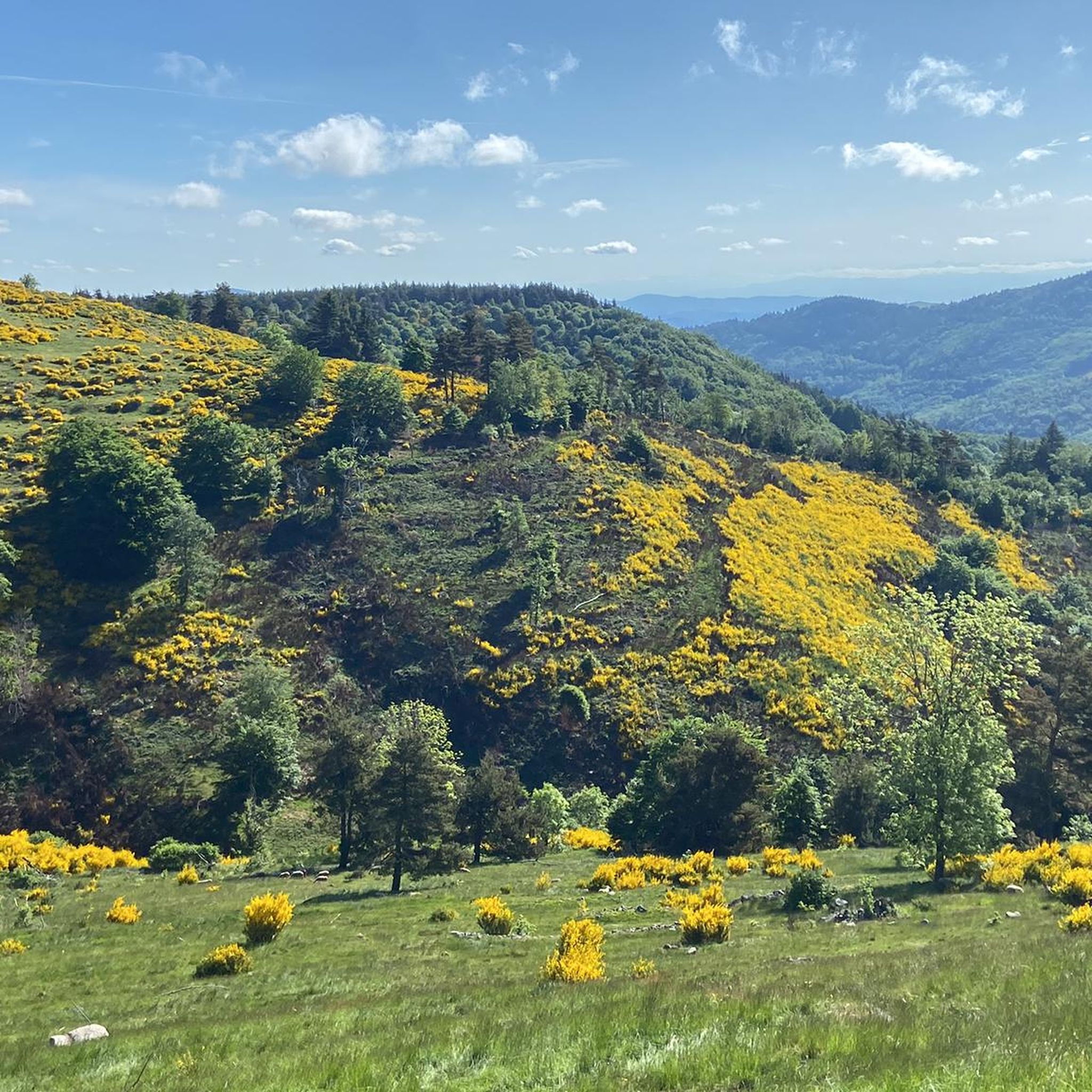
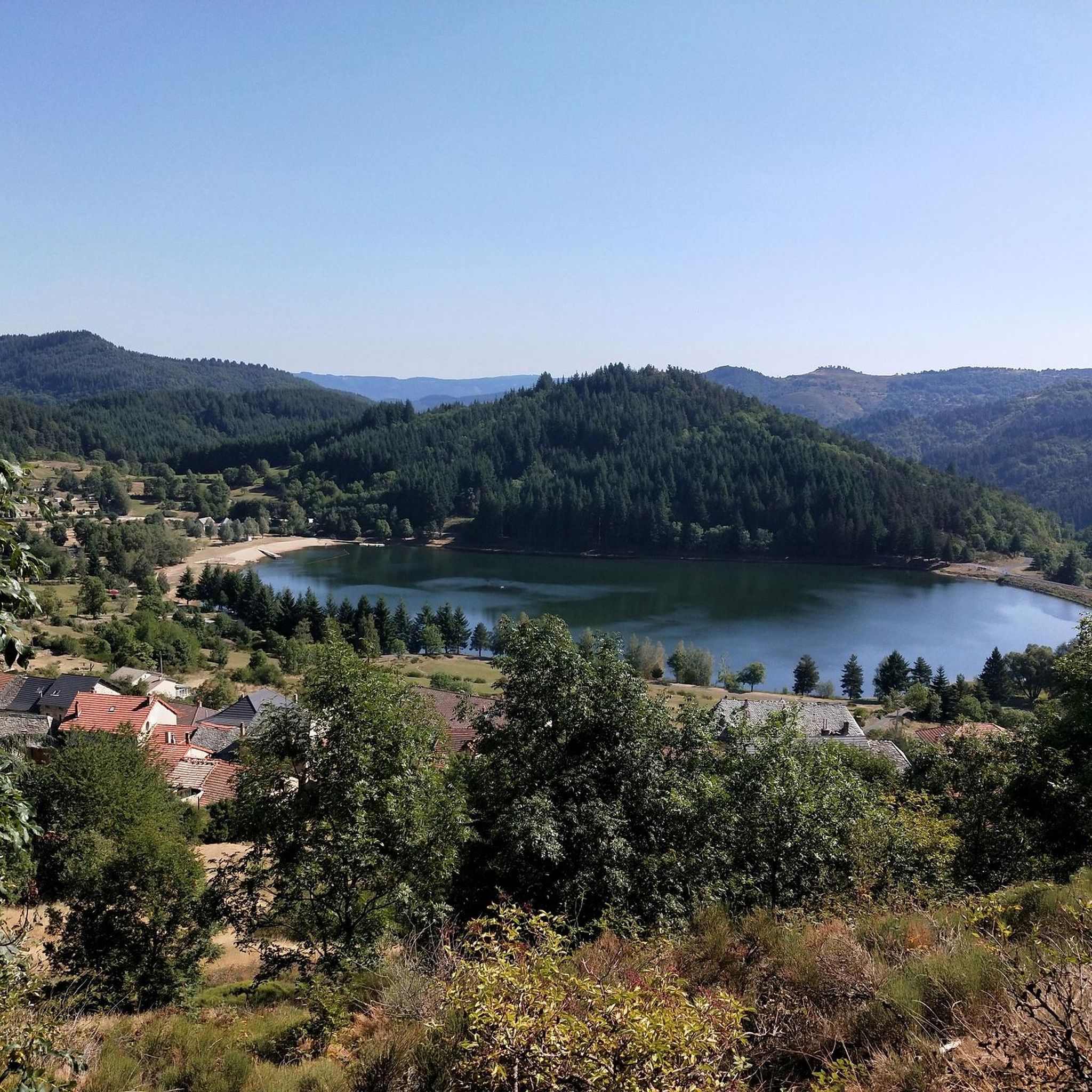
Road cycling routes around Mézilhac traverse a region characterized by its volcanic origins and diverse terrain within the Ardèche. The area features winding roads, varying elevations, and significant landmarks such as Mont Gerbier de Jonc and the Col de Mézilhac. Cyclists encounter a landscape of mountains, valleys, and basalt formations, offering a range of challenges. The network of roads provides opportunities to explore the natural heritage of the Monts d'Ardèche Regional Natural Park.
Best road cycling routes around Mézilhac
- The…
Last updated: July 1, 2026
83
riders
58.8km
03:15
1,240m
1,240m
Hard road ride. Very good fitness required. Mostly well-paved surfaces and easy to ride.
5.0
(2)
71
riders
73.0km
04:05
1,630m
1,630m
Hard road ride. Very good fitness required. Some segments of this route may be unpaved and difficult to ride.

Sign up for free
4.7
(3)
131
riders
51.3km
02:48
900m
900m
Hard road ride. Very good fitness required. Mostly well-paved surfaces and easy to ride.
55
riders
67.9km
03:33
1,230m
1,230m
Hard road ride. Very good fitness required. Mostly well-paved surfaces and easy to ride.
5.0
(1)
24
riders
54.9km
02:50
900m
900m
Moderate road ride. Good fitness required. Some segments of this route may be unpaved and difficult to ride.
Get access to more routes and recommendations from other explorers.
Sign up for free
Already have an account?
Our route recommendations are based on thousands of hikes, rides, and runs completed by other people on komoot.
Start today with a free account
Your next adventure awaits.
Login or Signup

Tips from the Community

Located at an altitude of 1,330 meters, Lachamp-Raphaël is the highest village in the Ardèche. Dominated by the Montivernoux peak, the village offers exceptional panoramic views of the Alps and the Ardèche mountains. https://lachamp-raphael.fr/
0
0
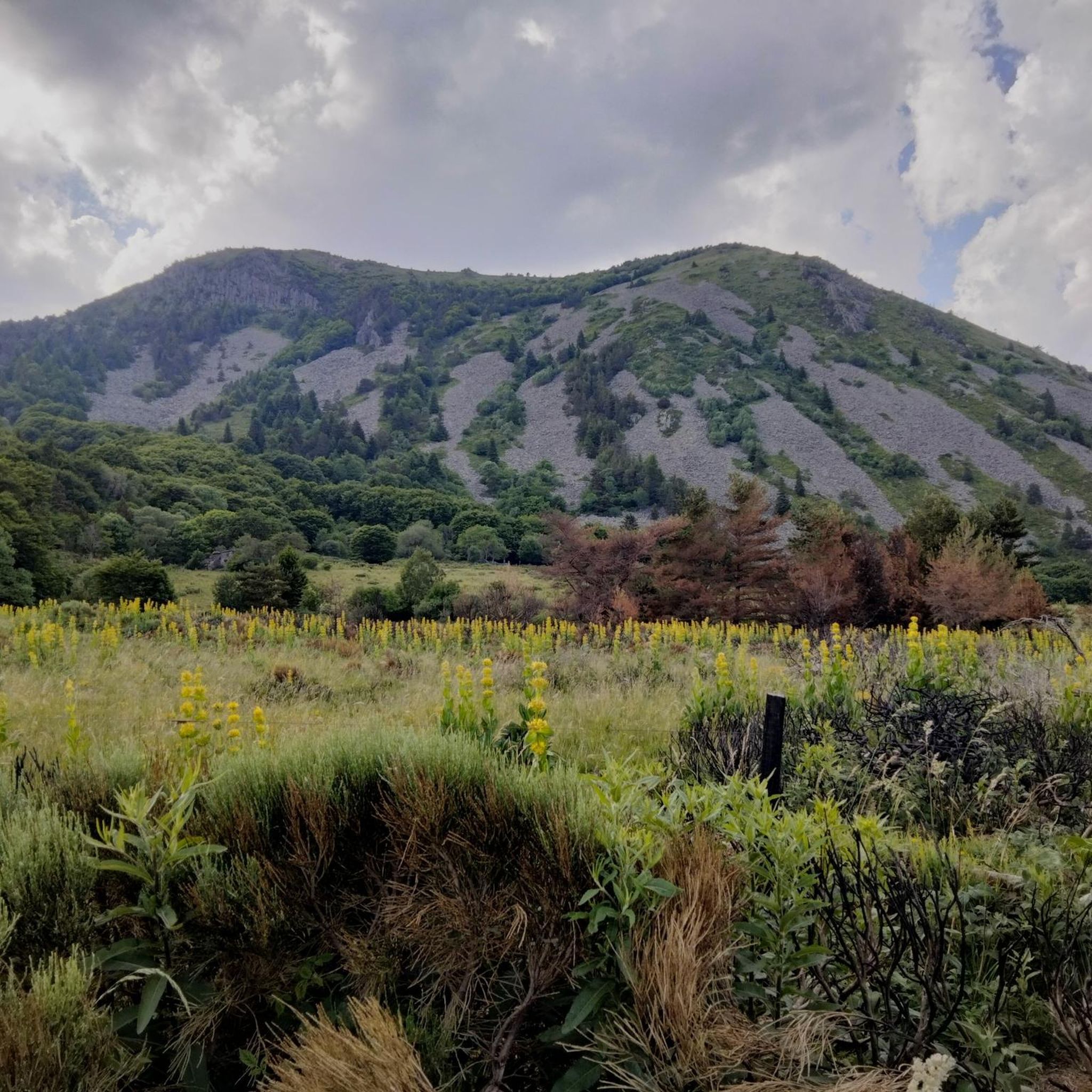
Eight million years old, Mont Gerbier-de-Jonc owes its conical shape to a viscous, cold lava that was unable to flow away. It is at its foot that the Loire River originates, in three places respectively designated as the geographical, authentic, and true sources. What if the Loire, in addition to its long journey to the Atlantic, also flowed into the Mediterranean? This is the intriguing hypothesis formulated by Gilles Clément after climbing the mountain following a period of drought, during which he nevertheless perceived a regular seepage in the rock. He imagines that Mont Gerbier-de-Jonc functions, in part, as a "water tower": a water trap based on the condensation of water vapor from clouds in desert regions. The collected water would flow at the foot of Mont Gerbier, towards the Atlantic Ocean and the Mediterranean Sea. https://www.lepartagedeseaux.fr/le-parcours-artistique/les-oeuvres-in-situ/la-tour-a-eau/
0
0

Small street, no traffic
0
0
Anyone who wants to stop for a bite to eat should stop here. There are few alternatives. A Grand Café Creme and a generous sandwich for 8 euros.
1
1
The Montivernoux peak is located in the Massif Central. It rises to an altitude of 1,441 meters in the Vivarais Mountains. It lies between the communes of Lachamp-Raphaël and Mézilhac. https://lachamp-raphael.fr/histoire-et-patrimoine/suc-de-montivernoux/
0
0
In the eastern foothills of the Massif Central, in a harsh climate, at an altitude of 1,380 meters, this former 17th-century farmhouse, built like a fortress in the heart of a windswept plateau, is now a must-see attraction located 3 kilometers from Mont Gerbier-de-Jonc. You'll admire its typical architecture, its 900 m² of phonolite slate roof (local volcanic slabs), its upside-down ship-shaped framework, and its impressive volumes (50 meters long and 10 meters wide). https://www.bourlatier.fr/FR/home.html
1
0

Cafe de la Place has good coffee and just down the main street on the left is a good Boulangerie.
0
0
Frequently Asked Questions
How many road cycling routes are available around Mézilhac?
There are over 50 road cycling routes around Mézilhac, offering a diverse range of experiences. These routes are highly rated by the komoot community, with an average score of 4.7 stars.
What kind of terrain can I expect on road cycling routes near Mézilhac?
The terrain around Mézilhac is characterized by its unique volcanic origins, featuring winding mountain roads, varying elevations, and deep valleys. You'll encounter challenging ascents, basalt formations, and scenic stretches through chestnut groves, particularly vibrant in autumn.
Are there challenging climbs for experienced road cyclists in the Mézilhac area?
Yes, Mézilhac is renowned for its challenging climbs. Notable ascents include the Montivernoux Climb, a 15 km ascent with an average gradient of 5-6%, and the iconic Col de Mézilhac (1,119 m). Many routes incorporate these significant elevation gains, such as the difficult Col de Mézilhac (1,119 m) – Col du Gerbier de Jonc loop from Lachamp-Raphaël.
What natural landmarks or viewpoints can I see along the road cycling routes?
Road cycling routes around Mézilhac offer access to stunning natural landmarks. You can cycle past the striking extinct volcanic cone of Mont Gerbier de Jonc, the official source of the Loire River, and enjoy panoramic views from Suc de Sara. The Ray-Pic Waterfall, with its 60-meter cascade over basalt columns, is another spectacular natural volcanic site worth visiting.
When is the best time of year for road cycling in Mézilhac?
The Ardèche region, including Mézilhac, is generally excellent for cycling from spring through autumn. Spring offers lush greenery, while autumn provides vibrant chestnut groves and pleasant temperatures. Summer can be warm, especially on climbs, but the higher elevations offer cooler air. Always check local weather conditions before heading out.
Are there any circular road cycling routes available?
Yes, many road cycling routes around Mézilhac are designed as loops, allowing you to start and finish in the same location. An example is the Col du Gerbier de Jonc – Col de Mézilhac (1,119 m) loop from Lachamp-Raphaël, which offers a challenging circular path through the volcanic landscape.
Are there any easier or moderate road cycling options for less experienced riders?
While Mézilhac is known for its challenging climbs, the broader Ardèche region offers a network of roads with varying difficulty. You can find moderate routes that traverse valleys like the Volane, Besorgues, and Bourges, providing scenic rides with less strenuous gradients. For very gentle, car-free options, the region also has 'greenways' like the Via Ardèche and La Dolce Via, though these might be more suited for hybrid or electric bikes.
What are the options for parking when road cycling in Mézilhac?
Parking is generally available in the villages and towns that serve as starting points for routes, such as Lachamp-Raphaël or Laviolle. It's advisable to check specific parking availability for your chosen starting location, especially during peak seasons.
Can I find accommodation or places to eat that are cyclist-friendly in Mézilhac?
Mézilhac and the surrounding villages in the Ardèche are accustomed to cyclists, especially given the region's popularity for events like the Ardéchoise. You can typically find local guesthouses, hotels, and restaurants that cater to visitors, offering hearty meals and comfortable stays. It's recommended to book accommodation in advance, particularly during cycling season.
What makes road cycling in Mézilhac unique compared to other regions?
Road cycling in Mézilhac is unique due to its setting within the Monts d'Ardèche Regional Natural Park, a UNESCO Global Geopark. The region's dramatic volcanic origins create a distinctive landscape of peaks, basalt formations, and deep valleys. This geological heritage, combined with winding, low-traffic roads and significant climbs, offers a truly immersive and challenging cycling experience unlike many other areas.
Are there any very long-distance road cycling routes starting from Mézilhac?
Yes, for those seeking longer distances, routes can be combined or extended. An example of a very long and challenging route is the Col de Mézilhac (1,119 m) – Col du Gerbier de Jonc loop from Marcols-les-Eaux, which covers nearly 150 km and features significant elevation gain, making it suitable for advanced cyclists.
Most popular attractions around Mézilhac

Get inspired with the komoot mobile app


Explore more
Browse the best Road cycling routes in other regions.
