The best road cycling routes around Mayres
4.6
(53)
1,603
riders
50
rides
Road cycling routes around Mayres are set within the Haute Cévenne ardéchoise, characterized by a deep valley at 600 meters altitude and the Col de la Chavade, marking a significant Atlantic/Mediterranean watershed. This unique geography results in a striking transition of vegetation, from Mediterranean flora to the more Nordic plant life of the Ardèche plateau. The area features towering rock formations like the Rocher d'Abraham and Rocher de Chaumiène, and is part of the young volcanoes of the Regional Natural…
Last updated: June 29, 2026
4.6
(15)
428
riders
98.5km
05:40
2,300m
2,300m
Hard road ride. Very good fitness required. Mostly well-paved surfaces and easy to ride.
4.8
(4)
183
riders
72.4km
03:27
1,010m
1,010m
Hard road ride. Very good fitness required. Mostly well-paved surfaces and easy to ride.

Sign up for free
5.0
(6)
88
riders
93.0km
04:53
1,580m
1,580m
Hard road ride. Very good fitness required. Mostly well-paved surfaces and easy to ride.
5.0
(1)
89
riders
81.9km
04:28
1,730m
1,730m
Hard road ride. Very good fitness required. Mostly well-paved surfaces and easy to ride.
5.0
(3)
73
riders
77.5km
04:08
1,520m
1,520m
Hard road ride. Very good fitness required. Mostly well-paved surfaces and easy to ride.
Get access to more routes and recommendations from other explorers.
Sign up for free
Already have an account?
Our route recommendations are based on thousands of hikes, rides, and runs completed by other people on komoot.
Start today with a free account
Your next adventure awaits.
Login or Signup
Tips from the Community

Etymology: comes from Mas d’Adam, the name of the old estate that was located on the site of the current village, which was ceded by the lord of Géorant to the bishop of Viviers to allow him to found the abbey of Mazan. It all begins with the foundation of the Cistercian abbey in the heart of the village. This takes place between 1119 and 1122. At the beginning of the 12th century, canons came to settle on the site of Mas d’Adam (a toponym that would evolve into MAZAN), and were joined by monks from the abbey of Bonnevaux. These religious men built a huge abbey, of which only the remains exist today, which experienced a period of apogee that lasted until the Hundred Years' War. It gave birth to four other abbeys which are Bonneval, Sénanque, Sylvanès and le Thoronet as well as establishments for nuns. After this prosperous period, misfortunes followed one another at the abbey of Mazan: it was plundered by the great companies of the Hundred Years' War, then attacked by the Huguenots in the modern period. Before this last looting, the monks, according to legend, would have melted a golden bell with all their treasures, which they would have buried somewhere, facing and opposite the bull's-eye window, within earshot of the rooster's crow. montagnedardeche.com/patrimoine-culturel/village-de-mazan-labbaye-2387
0
0

superb pass from Largentière
0
0


Making great speed!
1
0

Anyone who wants to stop for a bite to eat should stop here. There are few alternatives. A Grand Café Creme and a generous sandwich for 8 euros.
1
1

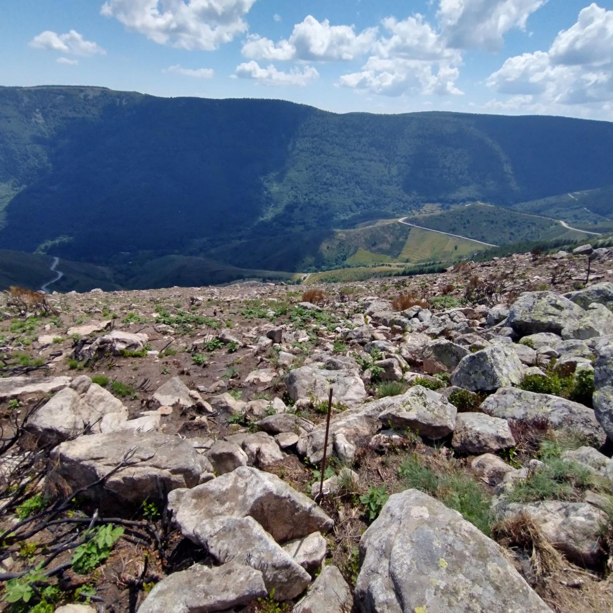
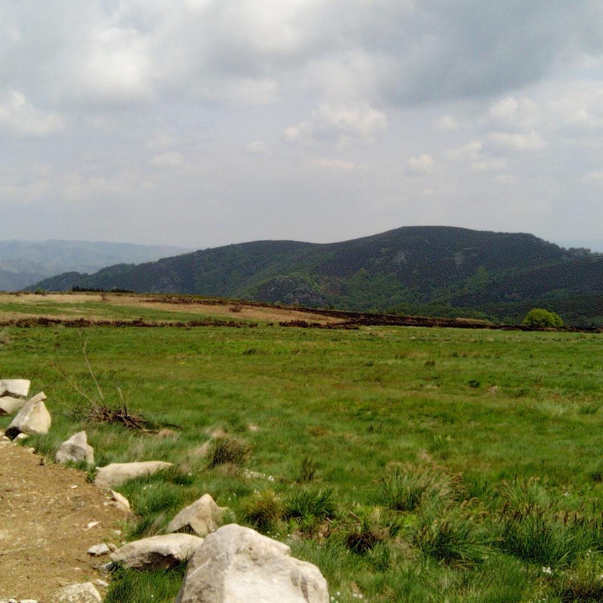
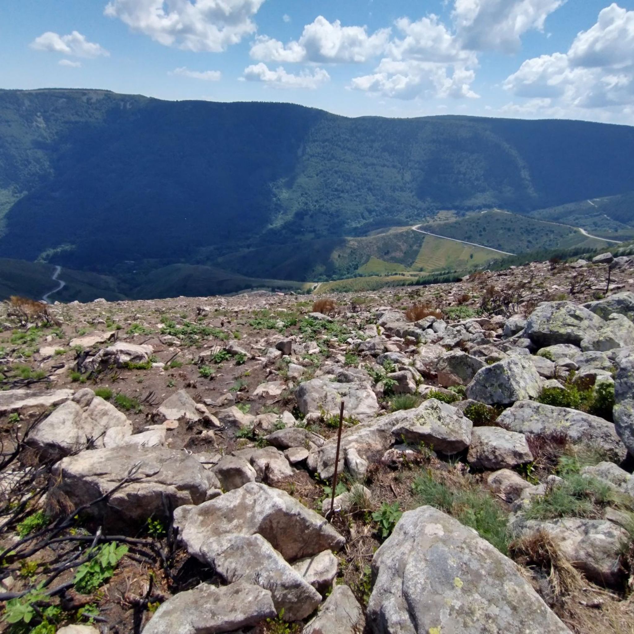
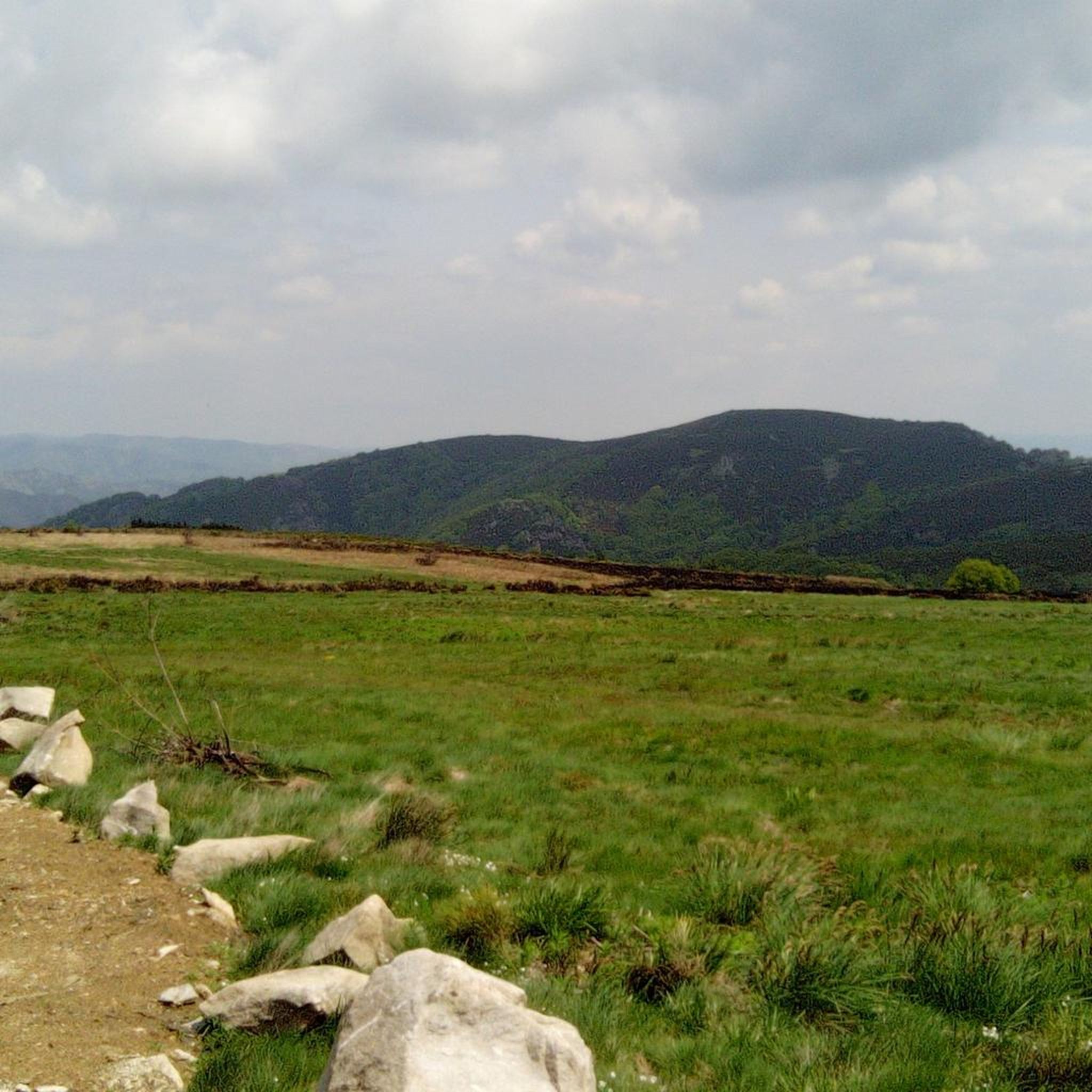
As you cycle past La Souche, be sure to enjoy the stunning views across the valley as you navigate the winding roads. The route offers breathtaking views of the lush, wooded slopes and the serene Ardèche countryside below. The open landscape and fresh mountain air make this peaceful stretch a great place to pause and admire the scenery before continuing on your way.
0
0
Frequently Asked Questions
What kind of terrain can I expect on road cycling routes around Mayres?
Road cycling around Mayres is characterized by diverse and challenging terrain. You'll encounter deep valleys, significant elevation gains, and numerous mountain passes. While most surfaces are well-paved, some segments might be unpaved and more demanding. The region's unique geography, including its position at the Atlantic/Mediterranean watershed, offers a striking transition of vegetation and geological features from the young volcanoes of the Monts d'Ardèche.
Are there road cycling routes suitable for different fitness levels in Mayres?
Yes, Mayres offers a range of road cycling routes catering to various fitness levels. While many routes involve significant climbing and are rated difficult, there are also moderate and easy options available. Overall, there are 49 road cycling routes, with 2 easy, 24 moderate, and 23 difficult routes, ensuring a suitable challenge for most cyclists.
What are some notable landmarks or natural features I might see while cycling near Mayres?
The Mayres region is rich in natural beauty and geological interest. You can expect to see towering rock formations like the Rocher d'Abraham and the Tour des Poignets. The area is also part of the young volcanoes of the Regional Natural Park of Monts d'Ardèche. The nearby Ardèche River, originating just 10 kilometers away, carves through the landscape, offering picturesque views. You might also encounter the Watershed at Col de la Chavade, marking a significant geographical divide.
Are there any specific viewpoints along the road cycling routes in Mayres?
Many routes in Mayres offer panoramic views, especially from the numerous mountain passes. For instance, the Col de La Croix de Millet – Col de Meyrand Viewpoint loop from Col de la Chavade is known for its panoramic vistas from mountain passes. Another route, View of the Ardèche Valley – Col du Pendu (1435 m) loop from Col de la Chavade, specifically highlights views of the Ardèche Valley.
What do other cyclists say about road cycling in Mayres?
The road cycling routes in Mayres are highly regarded by the komoot community, with an average rating of 4.6 stars from over 40 reviews. Cyclists often praise the challenging ascents, the diverse landscapes, and the stunning views from the mountain passes. Over 1500 road cyclists have used komoot to explore the varied terrain of Mayres.
Are there any family-friendly road cycling options around Mayres?
While many routes in Mayres are challenging, there are a few easier options available. The guide lists 2 easy road cycling routes, which might be more suitable for families or those looking for a less strenuous ride. These routes still allow you to experience the region's beauty without the intense elevation gains of the more difficult passes.
What is the best time of year to go road cycling in Mayres?
Mayres is an excellent destination for outdoor activities. While specific seasonal recommendations for cycling aren't provided, the mention of natural bathing spots for 'cooling off after an active day' suggests that warmer months are popular. The diverse vegetation, from Mediterranean flora to Nordic plant life, indicates that spring and autumn could offer pleasant temperatures and beautiful scenery for cycling.
Can I find places to eat or stay near the cycling routes in Mayres?
Mayres is described as a village and a hub for outdoor activities, suggesting local amenities. While specific cafes, pubs, or accommodations directly on the routes are not detailed, the village itself and surrounding areas would likely offer options for refreshments and lodging after your ride.
Are there any specific natural monuments or geological formations to look out for?
Yes, Mayres is located in the heart of the young volcanoes of the Regional Natural Park of Monts d'Ardèche, offering a unique geological backdrop. You can also find impressive basalt formations like the Rue des Géants Basalt Columns and the Queen's Ladder. The Pont du Diable (Thueyts), a natural bridge, is another notable natural monument in the vicinity.
Where can I park my car when starting a road cycling route in Mayres?
While specific parking locations for each route are not detailed, Mayres is a village and a common starting point for many routes. It is reasonable to expect parking facilities within the village or at designated starting points for popular routes, such as Col de la Chavade or Thueyts, which are mentioned as starting locations for several tours.
What is the longest road cycling route available around Mayres?
One of the longest road cycling routes around Mayres is the Col de La Croix de Millet – Col de Meyrand Viewpoint loop from Col de la Chavade, which covers approximately 98.5 kilometers (61.2 miles) and involves significant elevation gain.
Are there any routes that feature a view of the Tanargue massif?
Yes, the View of the Tanargue massif – Meyras Village loop from Thueyts is a moderate 52.5 km (32.6 miles) route that specifically offers views of the Tanargue massif, providing a scenic experience through the Ardèche landscape.
Most popular attractions around Mayres

Get inspired with the komoot mobile app


Explore more
Browse the best Road cycling routes in other regions.
