The best walks and hikes around Labastide-Sur-Bésorgues
4.4
(1211)
5,831
hikers
13
hikes
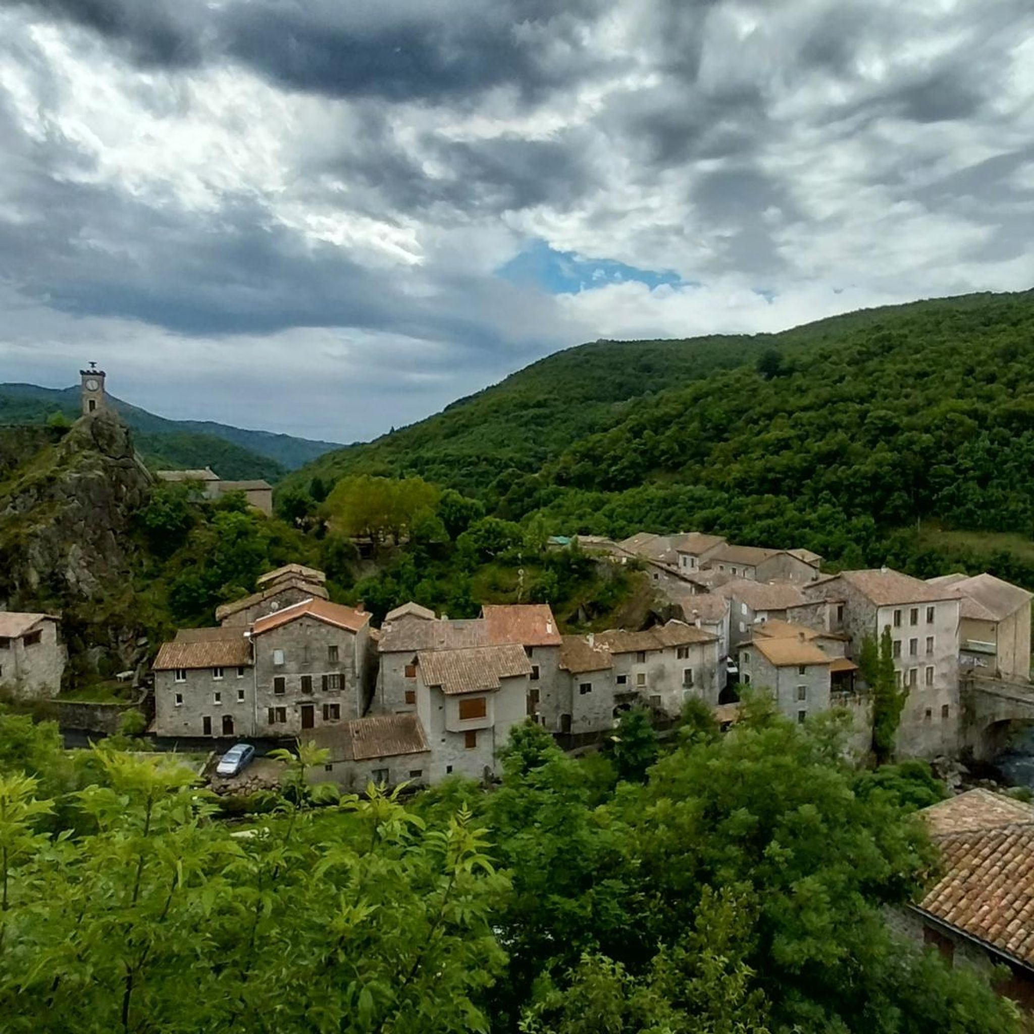
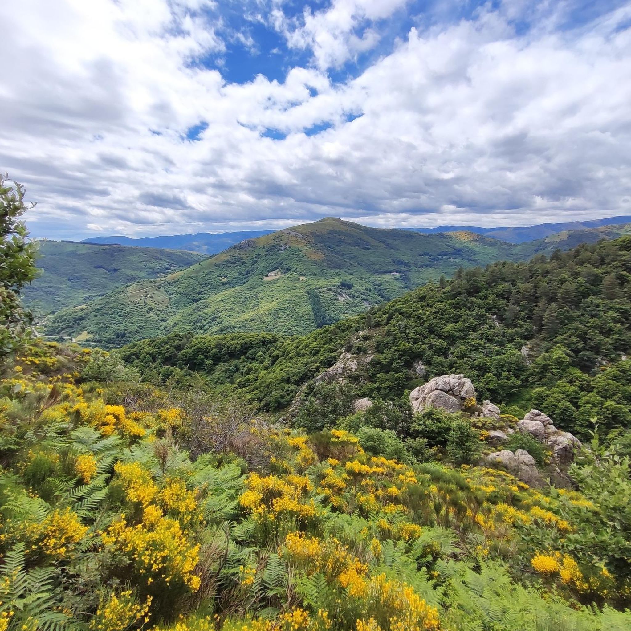
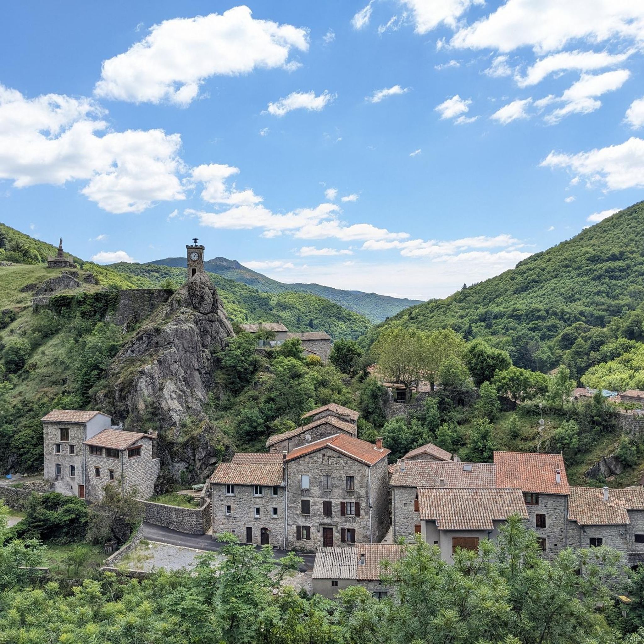
Hiking around Labastide-Sur-Bésorgues explores a landscape shaped by volcanic origins within the Monts d'Ardèche Regional Nature Park. The terrain features basaltic rock formations, deep valleys, and dramatic ridges carved by the Bésorgues river. This area offers a diverse network of trails through varied natural features, including waterfalls and panoramic viewpoints.
Best hiking trails around Labastide-Sur-Bésorgues
- The most popular hiking route is Cascade La Pissarelle – loop in the Parc naturel régional des Monts d'Ardèche, a 8.2 miles (13.2 km)…
Last updated: May 12, 2026
4.5
(28)
79
hikers
Moderate hike. Good fitness required. Easily-accessible paths. Suitable for all skill levels.
4.4
(26)
71
hikers
12.3km
04:19
670m
670m
Moderate hike. Good fitness required. Easily-accessible paths. Suitable for all skill levels.

Sign up for free
3.8
(10)
29
hikers
8.15km
02:28
260m
260m
Moderate hike. Good fitness required. Easily-accessible paths. Suitable for all skill levels.
5.0
(6)
19
hikers
Hard hike. Very good fitness required. Mostly accessible paths. Sure-footedness required.
4.5
(2)
5
hikers
9.73km
02:59
350m
350m
Moderate hike. Good fitness required. Easily-accessible paths. Suitable for all skill levels.
Get access to more routes and recommendations from other explorers.
Sign up for free
Already have an account?
Our route recommendations are based on thousands of hikes, rides, and runs completed by other people on komoot.
Start today with a free account
Your next adventure awaits.
Login or Signup
Tips from the Community

A 2014 municipal decree prohibits access due to falling rocks. We had to turn back. A big disappointment.
1
0

Small street, no traffic
0
0

The 1412 m high Rocher de Cheylard is a striking rock of volcanic origin with a wide and exceptional 360° panorama. It is visible from far away and completely easy to climb. Translated with DeepL.com (free version)
0
0

superb rock that we discover on the other side going from the col de moucheyre towards the granges de sausses
0
0

This is a pretty little waterfall with a great pool for swimming and cooling off.
3
0

Col de Moucheyres from La Bastide-sur-Bésorgues: 4.4Km at 4.5% average
1
0
Frequently Asked Questions
Are there any hikes that feature waterfalls in Labastide-Sur-Bésorgues?
Yes, the region is known for its impressive waterfalls. A popular option is the Cascade La Pissarelle – loop in the Parc naturel régional des Monts d'Ardèche, a moderate 13.2 km trail that leads directly to the stunning Cascade La Pissarelle. You can also find the impressive Ray-Pic Waterfall nearby, which is a significant natural monument.
Which trails offer the best panoramic views of the Bésorgues valley?
For breathtaking panoramic views, consider the Rocher de Faux Fay – Awesome view loop from Labastide-sur-Bésorgues. This moderate 12.3 km route provides extensive vistas across the Bésorgues valley and beyond. Other viewpoints like the Cime de Rouyon and Rocher du Cheylard also offer splendid 360-degree views.
Are there family-friendly hiking options in Labastide-Sur-Bésorgues?
While many trails are moderate, there are options suitable for families. The region offers a variety of routes, including easier strolls. For a moderate family adventure, the Donkey Farm – La Pissarelle loop from Labastide-sur-Bésorgues is an 8.2 km trail that takes about 2 hours 28 minutes, offering varied terrain. The Volcan d'Aizac also provides an easier 6.28 km hike to explore volcanic landscapes without extreme exertion.
Where can I explore the volcanic landscapes of the region?
Labastide-Sur-Bésorgues is rich in volcanic history. The "Aizac Volcano," or "Coupe du Volcan d'Aizac," is a prime spot for exploring these unique landscapes and offers panoramic views. The Bésorgues river itself has been shaped by ancient basaltic flows, and you can observe magnificent basaltic rock formations throughout the area, including geological curiosities like the ancient lava lake of Ranc Ranier.
What are the options for more challenging hikes in the area?
For experienced hikers seeking a challenge, the region offers several difficult routes. The Moucheyres Pass – Col de Moucheyres (858 m) loop from Labastide-sur-Bésorgues is a difficult 16.7 km route with significant elevation gain. The Rocher du Cheylard also presents a magnificent and difficult 16.66 km hike in Vivarais Cévenol, offering extensive views.
Are dogs allowed on the hiking trails in Labastide-Sur-Bésorgues?
Generally, dogs are welcome on trails in the Monts d'Ardèche Regional Nature Park, but it's always recommended to keep them on a leash, especially in protected areas, near livestock, or during nesting seasons. Please respect local signage and regulations.
What natural landmarks can I discover while hiking in the region?
Beyond the stunning waterfalls, you can discover several unique natural landmarks. The Pont du Diable (Thueyts) is a remarkable bridge, and the Mount Gerbier de Jonc is a prominent summit. You can also find the intriguing Queen's Ladder and the unique Rue des Géants Basalt Columns, showcasing the region's volcanic geology.
When is the best time of year to go hiking in Labastide-Sur-Bésorgues?
The best time for hiking in Labastide-Sur-Bésorgues is typically from spring to autumn (April to October). During these months, the weather is generally pleasant, and the trails are clear. Summer can be warm, so early morning or late afternoon hikes are advisable. Winter hiking is possible but may require appropriate gear due to snow or ice at higher elevations.
What do other hikers say about the trails in Labastide-Sur-Bésorgues?
The hiking routes in Labastide-Sur-Bésorgues are highly rated by the komoot community, with an average score of 4.4 stars from over 1200 reviews. Hikers often praise the diverse terrain, the dramatic volcanic landscapes, the stunning waterfalls, and the extensive panoramic views across the Bésorgues valley.
Are there any circular hiking routes available?
Yes, many of the trails in Labastide-Sur-Bésorgues are designed as circular routes, allowing you to start and end at the same point. Examples include the Cascade La Pissarelle loop and the Donkey Farm loop from Labastide-sur-Bésorgues, which is a moderate 9.7 km trail.
What other outdoor activities can I do in Labastide-Sur-Bésorgues besides hiking?
Beyond hiking, Labastide-Sur-Bésorgues offers a range of outdoor activities. The Bésorgues Canyon is a major highlight for adventure seekers, perfect for canyoning with toboggans, jumps, and even a zip line. The region also supports cyclotourism, mountain biking, parapente, and snowshoeing during winter, making it a versatile destination for active travelers.
How many hiking trails are there in Labastide-Sur-Bésorgues?
There are over 10 hiking routes available in Labastide-Sur-Bésorgues, catering to various skill levels. These include easy strolls, moderate day hikes, and more challenging multi-hour treks through the diverse volcanic and river-carved landscapes.
Most popular routes around Labastide-Sur-Bésorgues
Most popular attractions around Labastide-Sur-Bésorgues

Get inspired with the komoot mobile app


Explore more
Browse the best Hikes in other regions.
