The best walks and hikes around Genestelle
4.4
(816)
3,801
hikers
197
hikes
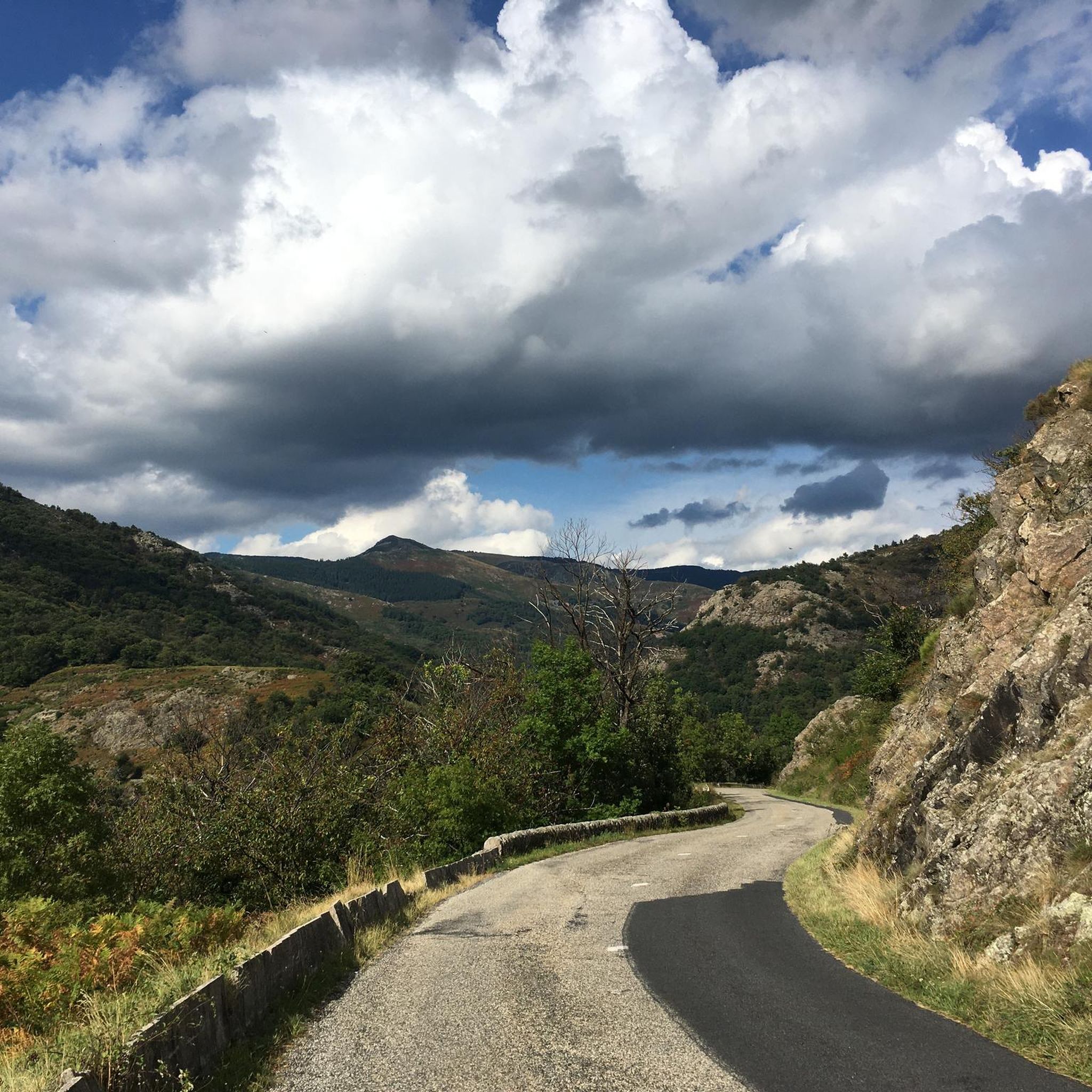
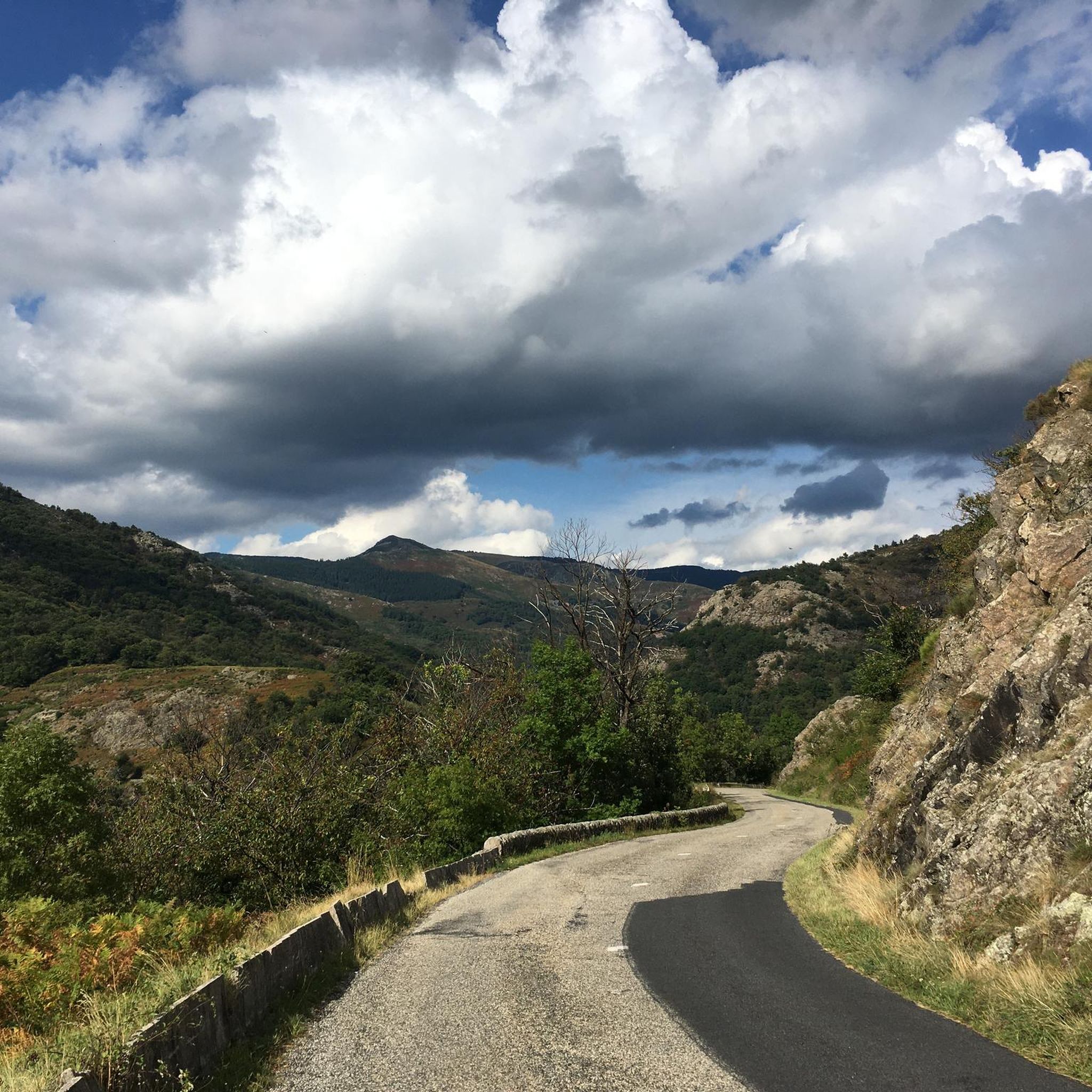
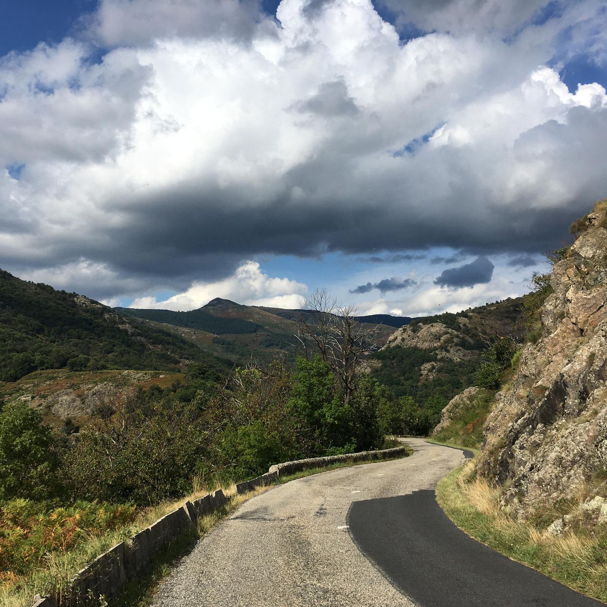
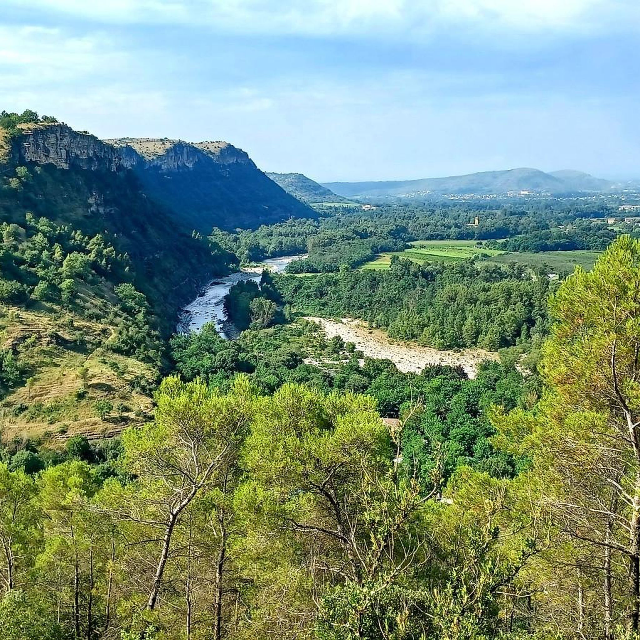
Hiking around Genestelle offers diverse terrain within the Ardèche region, characterized by a significant altitude range from 350 meters to 1300 meters. The area features volcanic landscapes, including the Château de Craux situated on a volcano crater, providing views over the Hautes Cévennes Ardéchoises. Genestelle is part of the Monts d'Ardèche Regional Natural Park, which encompasses ancient chestnut groves, forests, pastures, and verdant valleys. An extensive network of trails crisscrosses the region, providing varied hiking opportunities.
Best hiking trails around…
Last updated: August 31, 2026
4.6
(56)
258
hikers
7.97km
02:27
280m
280m
Hike a moderate 5.0-mile loop through the Parc naturel régional des Monts d'Ardèche, exploring the historic Château de Craux and volcanic la
4.7
(9)
39
hikers
7.90km
02:36
370m
370m
Moderate hike. Good fitness required. Easily-accessible paths. Suitable for all skill levels.

Sign up for free
5.0
(7)
29
hikers
13.2km
04:24
630m
630m
Moderate hike. Good fitness required. Easily-accessible paths. Suitable for all skill levels.
4.6
(7)
21
hikers
5.50km
01:32
110m
100m
Easy hike. Great for any fitness level. Easily-accessible paths. Suitable for all skill levels.
9
hikers
6.87km
02:01
200m
200m
Moderate hike. Good fitness required. Easily-accessible paths. Suitable for all skill levels.
Get access to more routes and recommendations from other explorers.
Sign up for free
Already have an account?
Our route recommendations are based on thousands of hikes, rides, and runs completed by other people on komoot.
Start today with a free account
Your next adventure awaits.
Login or Signup

Tips from the Community

The castle is located on the basalt field of the old volcano of Craux and dominates the valleys of Volane and Sandron. The castle was built in the 11th century as a hunting lodge. It was occupied for the last time in 1944 before being bought by the municipality in 1994 and restored.
6
0


Home of Jean Ferrat - the mountain
0
0

Nicely located old château. However, relatively little received. In the low season, the store was also closed for snacks and cheese.
4
0
Frequently Asked Questions
What kind of hiking difficulty can I expect in Genestelle?
Genestelle offers a wide range of hiking difficulties, from easy strolls to more challenging treks. The area features a significant altitude range, from 350 meters to 1300 meters, providing varied gradients. You'll find over 50 easy routes, more than 100 moderate routes, and around 17 difficult routes, ensuring options for all fitness levels.
What natural features and landmarks can I discover while hiking in Genestelle?
The region is rich in natural beauty and historical sites. You can explore volcanic landscapes, including the unique Castles of Craux, which are situated on a volcano crater offering magnificent views. Other notable features include the dramatic Ray-Pic Waterfall, the serene La Volane River, and various viewpoints like the View of the Volane Valley. The Monts d'Ardèche Regional Natural Park also features ancient chestnut groves, dry stone terraces, and diverse forests.
Are there family-friendly hiking options in Genestelle?
Yes, Genestelle offers numerous family-friendly hiking options. Many of the 57 easy routes are suitable for families, providing gentle gradients and pleasant scenery through chestnut groves and verdant valleys. A good example is the Jean Ferrat's house loop from Vallées-d'Antraigues-Asperjoc, which is an easy 5.6 km trail.
Can I bring my dog on hikes in Genestelle?
Generally, dogs are welcome on trails in the Genestelle area, especially within the Monts d'Ardèche Regional Natural Park. However, it's always recommended to keep your dog on a leash, especially in areas with livestock or wildlife, and to check for any specific local signage or regulations that might apply to certain routes or protected areas.
Are there many circular hiking routes available in Genestelle?
Yes, many of the hiking routes in Genestelle are circular, allowing you to start and end at the same point without needing to retrace your steps. Examples include the popular Antraïgues Loop via Craux and the Pont loop from Saint-Andéol-de-Vals. These loops are ideal for exploring the diverse landscapes efficiently.
What is the best time of year to go hiking in Genestelle?
The best time to hike in Genestelle is typically from spring to autumn (April to October). During these months, the weather is generally pleasant, and the landscapes are vibrant. Spring brings blooming wildflowers, while autumn offers beautiful foliage in the chestnut groves. Summer is also popular, but it can be warm, so early morning or late afternoon hikes are recommended.
Where can I find detailed maps or guides for hiking trails in Genestelle?
For detailed trail information, you can consult local Tourist Offices in the Ardèche region, which often provide topo-guides. Additionally, the GEOTREK website for the Monts d'Ardèche Regional Natural Park lists over 50 walking, equestrian, and mountain biking routes. Komoot also offers detailed maps and navigation for all 182 routes in the area.
Are there any routes that offer views of the region's volcanic features?
Absolutely. The region is known for its volcanic heritage. The Antraïgues Loop via Craux is an excellent choice, as it takes you past the Château de Craux, uniquely situated on a volcano crater, providing magnificent views over the Hautes Cévennes Ardéchoises and the region's younger volcanic areas.
What do other hikers enjoy most about hiking in Genestelle?
The hiking experience in Genestelle is highly rated by the komoot community, with an average score of 4.5 stars from over 600 reviews. Hikers often praise the diverse terrain, from ancient chestnut groves to volcanic landscapes, and the extensive, well-maintained trail network that offers options for all abilities. The natural beauty and tranquility of the Monts d'Ardèche Regional Natural Park are frequently highlighted.
Are there any long-distance trails that pass through or near Genestelle?
Yes, the broader Ardèche region is crisscrossed by an extensive network of long-distance trails. This includes over 600 km of 'Grandes Randonnées' (GR) and 750 km of 'Sentiers de Pays' (GR de Pays). Genestelle itself lies on one of the historic pilgrimage routes to Compostelle, offering a glimpse into these longer journeys.
Is public transport available to reach hiking trailheads in Genestelle?
While Genestelle is a rural area, public transport options might be limited directly to all trailheads. It's advisable to check local bus schedules for connections to the main villages. Many hikers prefer to drive to trailheads, and parking is generally available in or near villages like Genestelle and Antraïgues-sur-Volane. Always plan your transport in advance.
What kind of terrain can I expect within the Monts d'Ardèche Regional Natural Park?
Within the Monts d'Ardèche Regional Natural Park, you can expect a rich tapestry of landscapes. The terrain varies from ancient chestnut groves and dry stone terraces to dense forests, open pastures, and verdant valleys carved by rivers. The diverse relief, with forests reaching altitudes between 300 and 1000 meters, ensures a varied and engaging hiking experience.
Most popular routes around Genestelle
Most popular attractions around Genestelle

Get inspired with the komoot mobile app


Explore more
Browse the best Hikes in other regions.
