The best walks and hikes around Montusclat
4.5
(340)
2,296
hikers
157
hikes
Hiking around Montusclat offers access to the distinctive landscapes of the Velay region within Auvergne-Rhône-Alpes. The area is characterized by elevated plateaus known as "Les Hautes-Terres," which provide expansive views of surrounding massifs and unique conical peaks called "sucs." Montusclat's terrain is shaped by ancient volcanic activity, including trachybasalte flows, and features river systems like the Gagne and its tributaries, carving varied landscapes from rolling hills to gorges. Trails traverse diverse ecosystems, including meadows, coniferous and beech forests, and open…
Last updated: June 29, 2026
4.3
(9)
71
hikers
17.5km
05:10
520m
520m
Hard hike. Very good fitness required. Easily-accessible paths. Suitable for all skill levels.
5.0
(3)
36
hikers
7.26km
02:08
210m
210m
Moderate hike. Good fitness required. Easily-accessible paths. Suitable for all skill levels.

Sign up for free
5.0
(1)
20
hikers
7.47km
02:10
200m
200m
Moderate hike. Good fitness required. Easily-accessible paths. Suitable for all skill levels.
3.7
(3)
8
hikers
11.2km
03:10
250m
250m
Moderate hike. Good fitness required. Easily-accessible paths. Suitable for all skill levels.
4.7
(6)
30
hikers
15.5km
04:46
560m
560m
Moderate hike. Good fitness required. Easily-accessible paths. Suitable for all skill levels.
Get access to more routes and recommendations from other explorers.
Sign up for free
Already have an account?
Our route recommendations are based on thousands of hikes, rides, and runs completed by other people on komoot.
Start today with a free account
Your next adventure awaits.
Login or Signup
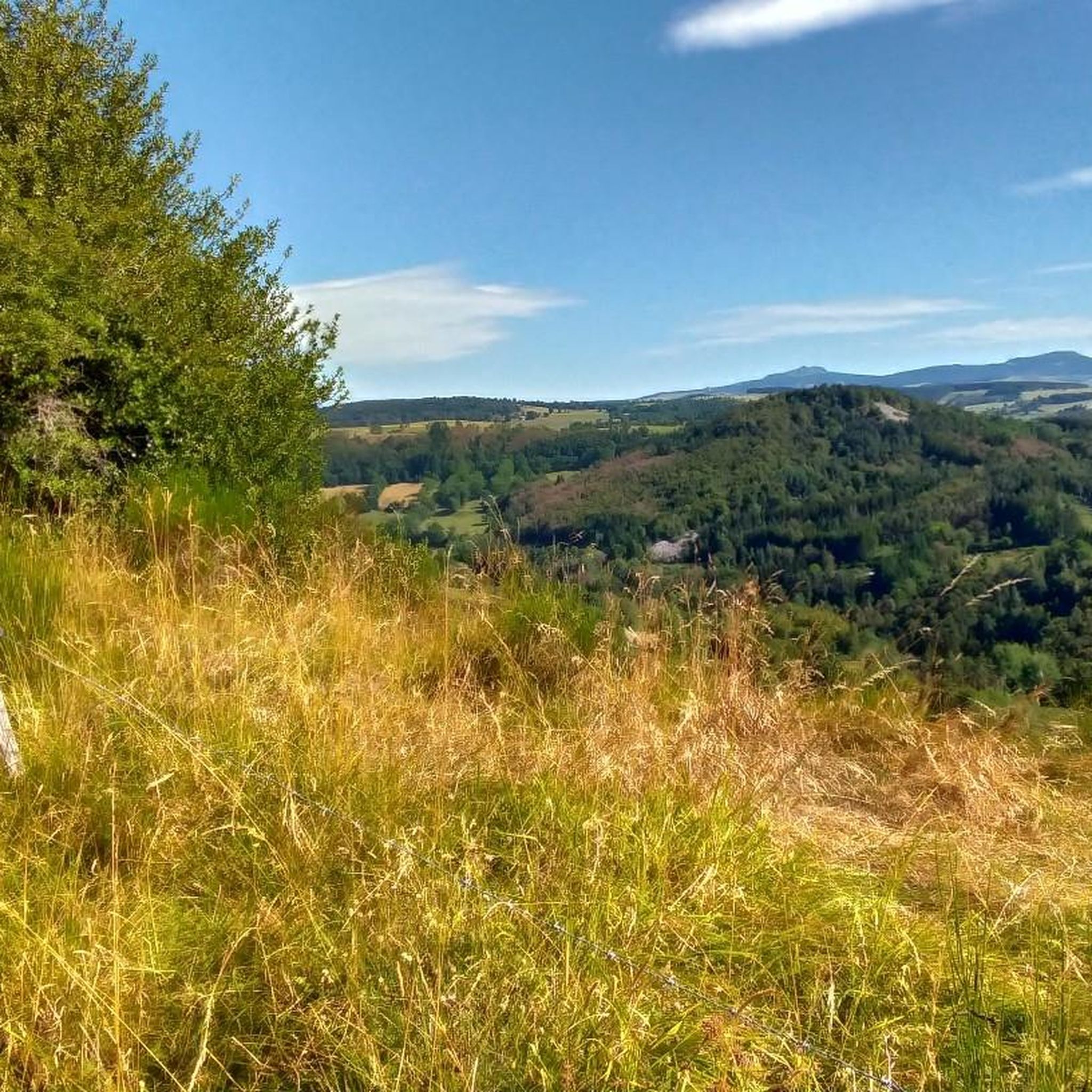
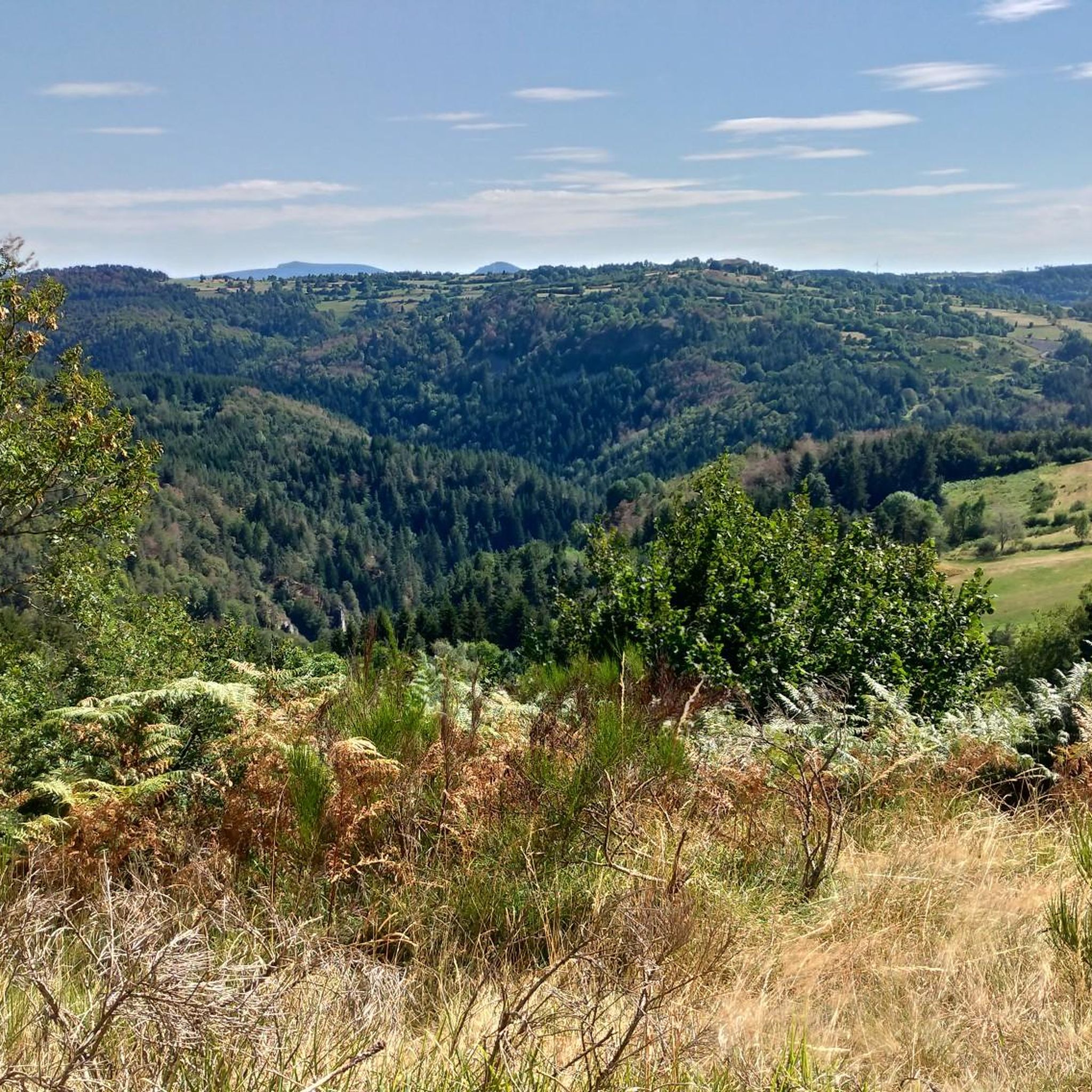
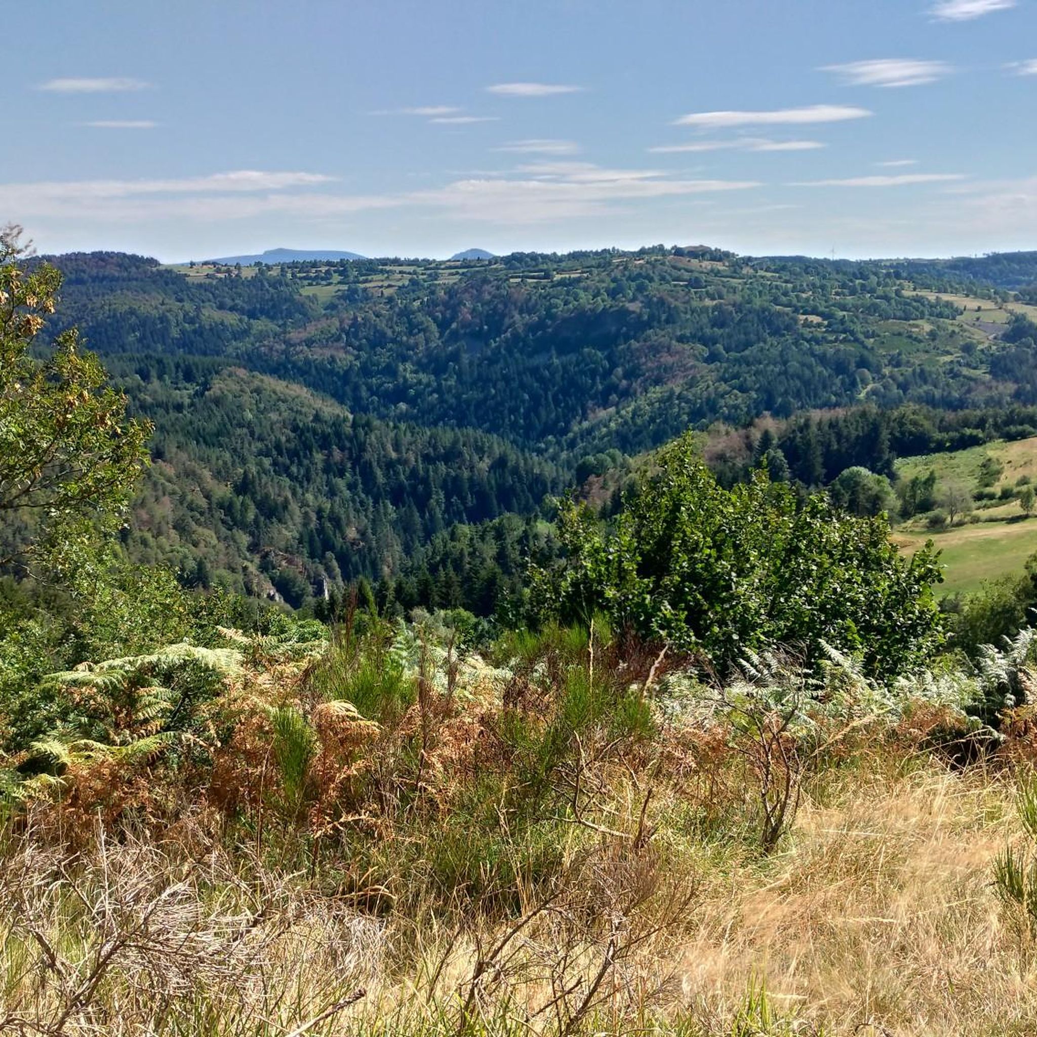
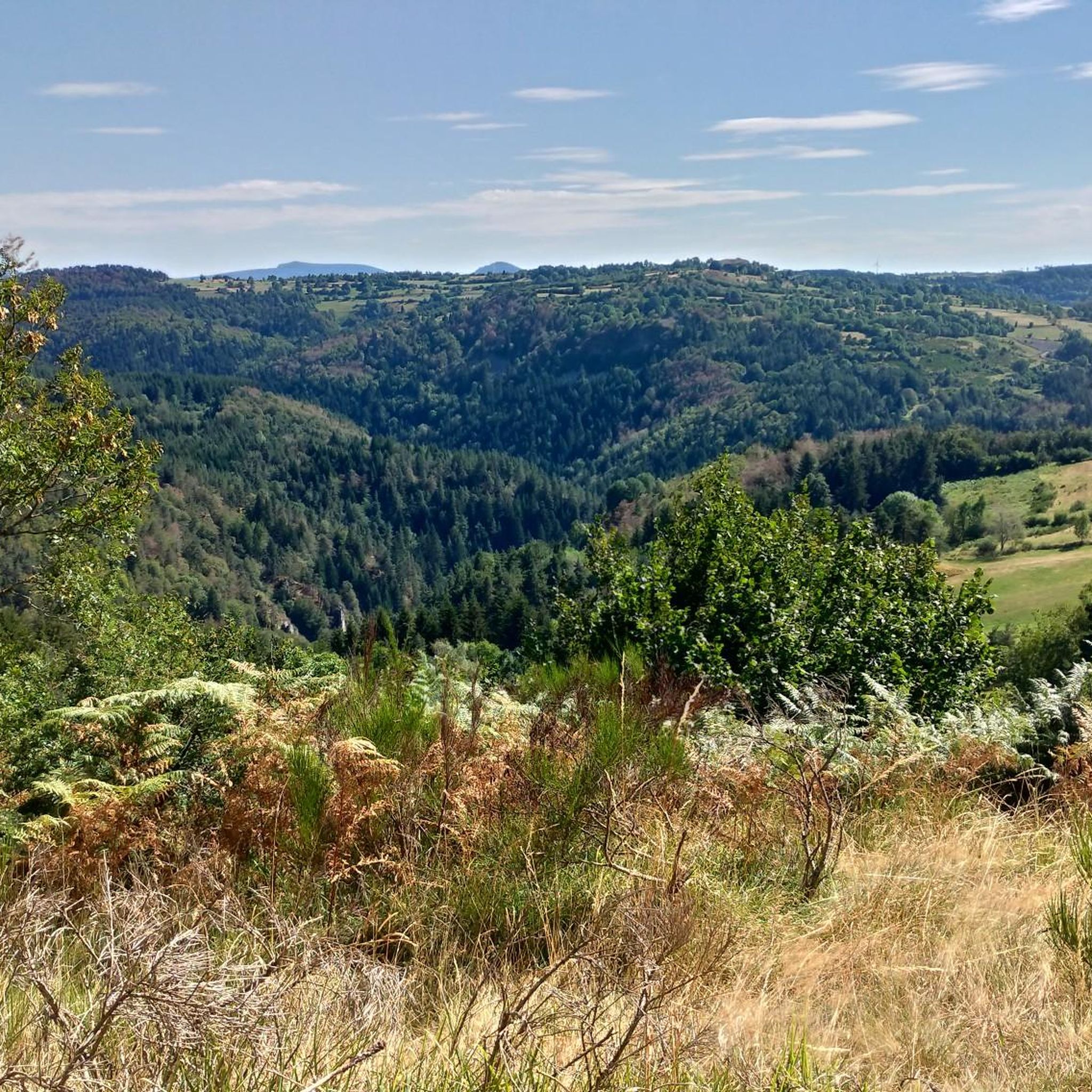

Tips from the Community

Some very muddy sections! Otherwise, a very pleasant route.
0
0


The Suc de Chapteuil is an enormous organ rock which represents an ancient volcanic chimney. The 360 degree view is sublime. We'll be amazed!
0
0
The Suc de Chapteuil is an enormous organ rock which represents an ancient volcanic chimney. Organs have always been used in construction, notably for the castle of the lords of Chapteuil, the remains of which can be seen.
0
0
The town of Saint-Julien-Chapteuil is nestled in the heart of the Meygal massif. The town retains traces of its medieval past and you can appreciate its beautiful church and the ruins of the Château de Chapteuil. It is a town which has its own identity, offering all services and which has many shops.
0
0

Magnificent view and possibility of picnicking at the top.
0
0

The highest point of Via Gennensis (1276 m). From here you have a fantastic view of the respective valley locations.
0
0

It is a place near the summit of Testavoyre, which can serve as a rest area in summer, as a refuge in winter.
0
0
Frequently Asked Questions
How many hiking trails are available around Montusclat?
There are over 160 hiking trails around Montusclat, offering a wide range of experiences from easy strolls to more challenging excursions. The komoot community has explored these routes over 2000 times, providing an average rating of 4.5 stars.
What kind of terrain can I expect on hikes around Montusclat?
Hikes around Montusclat traverse a diverse landscape shaped by ancient volcanic activity. You'll encounter elevated plateaus known as "Les Hautes-Terres" offering expansive views, unique conical peaks called "sucs," and river valleys carved by the Gagne and its tributaries. Trails wind through varied ecosystems, including meadows, coniferous and beech forests, and open grasslands.
Are there easy hiking trails suitable for beginners or families in Montusclat?
Yes, Montusclat offers over 50 easy hiking trails. These routes are generally shorter with less elevation gain, making them ideal for families or those seeking a relaxed outdoor experience. Many explore charming hamlets and offer gentle paths through forests and open areas.
Can I find challenging hikes in the Montusclat area?
Absolutely. For experienced hikers, there are 7 difficult routes available. One notable challenging option is The Testavoyre – Monedeyres loop from Montusclat, which covers 10.9 miles (17.5 km) with significant elevation changes and offers views across the Meygal massif.
What natural features or landmarks can I see while hiking around Montusclat?
The region is rich in natural and historical points of interest. You can explore volcanic formations like the Queyrières volcano and the Suc de Chapteuil. Other highlights include the Lac de Saint-Front, the impressive Basalt organ of Queyrières, and the scenic Cascade de la Beaume. Many routes also lead to panoramic viewpoints, such as the View from the cross.
Are there any circular hiking routes around Montusclat?
Yes, many of the trails around Montusclat are circular, allowing you to start and end at the same point. Examples include Blue Lake – Champclause Church loop from Champclause and View of Boussoulet loop from La Calla, which offer varied scenery without retracing your steps.
What is the best time of year to go hiking in Montusclat?
The Auvergne region, including Montusclat, is generally pleasant for hiking from spring through autumn. Spring brings blooming wildflowers, while summer offers warm weather for exploring. Autumn provides stunning foliage. Winter hiking is possible but requires appropriate gear for potentially snowy or icy conditions, especially on higher elevations.
Are the hiking trails around Montusclat dog-friendly?
Most trails in the Montusclat area are generally dog-friendly, but it's always recommended to keep your dog on a leash, especially in areas with livestock or protected wildlife. Ensure you carry enough water for both yourself and your pet, and be mindful of local regulations or signage.
What do other hikers enjoy most about hiking in Montusclat?
The area is highly rated by the komoot community, with an average score of 4.5 stars from over 300 reviews. Hikers often praise the diverse landscapes, from volcanic terrain and elevated plateaus to serene river valleys. The extensive network of well-maintained trails and the panoramic views of the Massif du Mézenc are frequently highlighted as favorite aspects.
How long do hikes around Montusclat typically take?
Hike durations vary significantly depending on the trail's length and difficulty. Easy trails might take an hour or two, while moderate routes like View of Boussoulet loop from La Calla can take around 2 hours. More challenging routes, such as The Testavoyre – Monedeyres loop from Montusclat, can require over 5 hours to complete.
Is there parking available at the trailheads in Montusclat?
While specific parking information for every trailhead isn't always available, many villages and popular starting points in the Montusclat region, such as Montusclat itself or nearby hamlets, typically offer designated parking areas for hikers. It's advisable to check the route details on komoot for specific parking recommendations before you go.
What should I bring for a hike in Montusclat?
For hiking in Montusclat, it's recommended to bring appropriate footwear, layers of clothing suitable for changing weather conditions, water, snacks, and a map or GPS device. Sun protection, a first-aid kit, and a fully charged phone are also advisable. For longer or more challenging routes, consider trekking poles.
Most popular attractions around Montusclat

Get inspired with the komoot mobile app


Explore more
Browse the best Hikes in other regions.
