The best walks and hikes around Saint-Louis-Et-Parahou
4.5
(726)
3,907
hikers
117
hikes
Hiking around Saint-Louis-Et-Parahou, a commune in the Aude department of southern France, offers diverse terrain for outdoor enthusiasts. The region is characterized by varying elevations, from 519m to 1007m, and features prominent natural landmarks such as the Pech de Bugarach, the highest point of the Corbières Massif. Hikers can explore the scenic Gorges de l'Aude and the extensive Forêt des Fanges, known for its preserved landscapes. The area also provides access to historical Cathar castles, including Chateau de Puilaurens, Chateau…
Last updated: July 4, 2026
4.9
(32)
246
hikers
12.7km
05:15
750m
750m
Hard hike. Very good fitness required. Sure-footedness, sturdy shoes and alpine experience required.
4.1
(28)
86
hikers
6.06km
01:54
130m
130m
Moderate hike. Great for any fitness level. Mostly accessible paths. Sure-footedness required.

Sign up for free
5.0
(1)
19
hikers
7.29km
02:14
240m
240m
Hard hike. Good fitness required. Sure-footedness, sturdy shoes and alpine experience required.
5.0
(3)
27
hikers
15.3km
05:59
800m
800m
Hard hike. Very good fitness required. Sure-footedness, sturdy shoes and alpine experience required.
3.0
(1)
9
hikers
16.4km
05:46
800m
800m
Hard hike. Very good fitness required. Sure-footedness, sturdy shoes and alpine experience required.
Get access to more routes and recommendations from other explorers.
Sign up for free
Already have an account?
Our route recommendations are based on thousands of hikes, rides, and runs completed by other people on komoot.
Start today with a free account
Your next adventure awaits.
Login or Signup
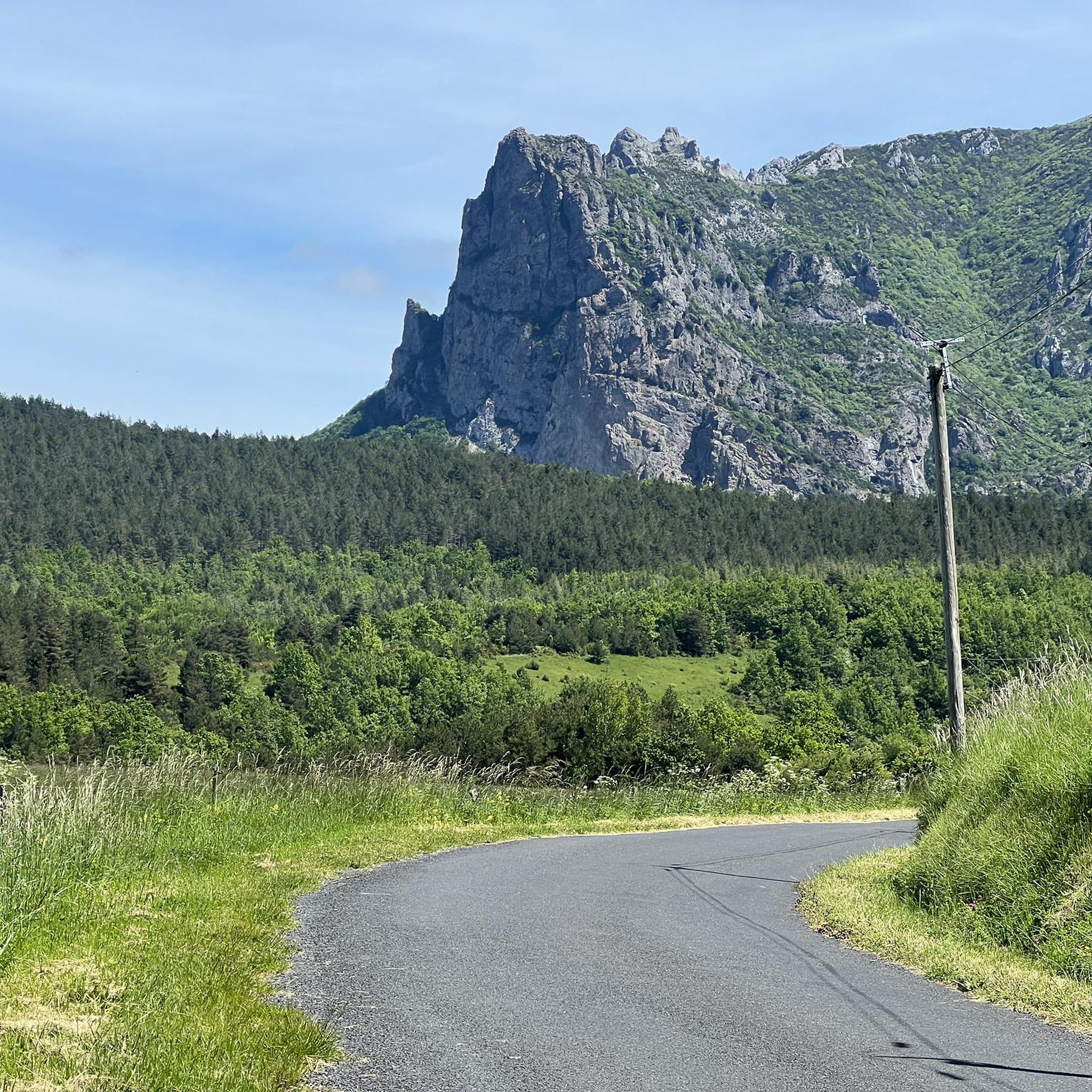
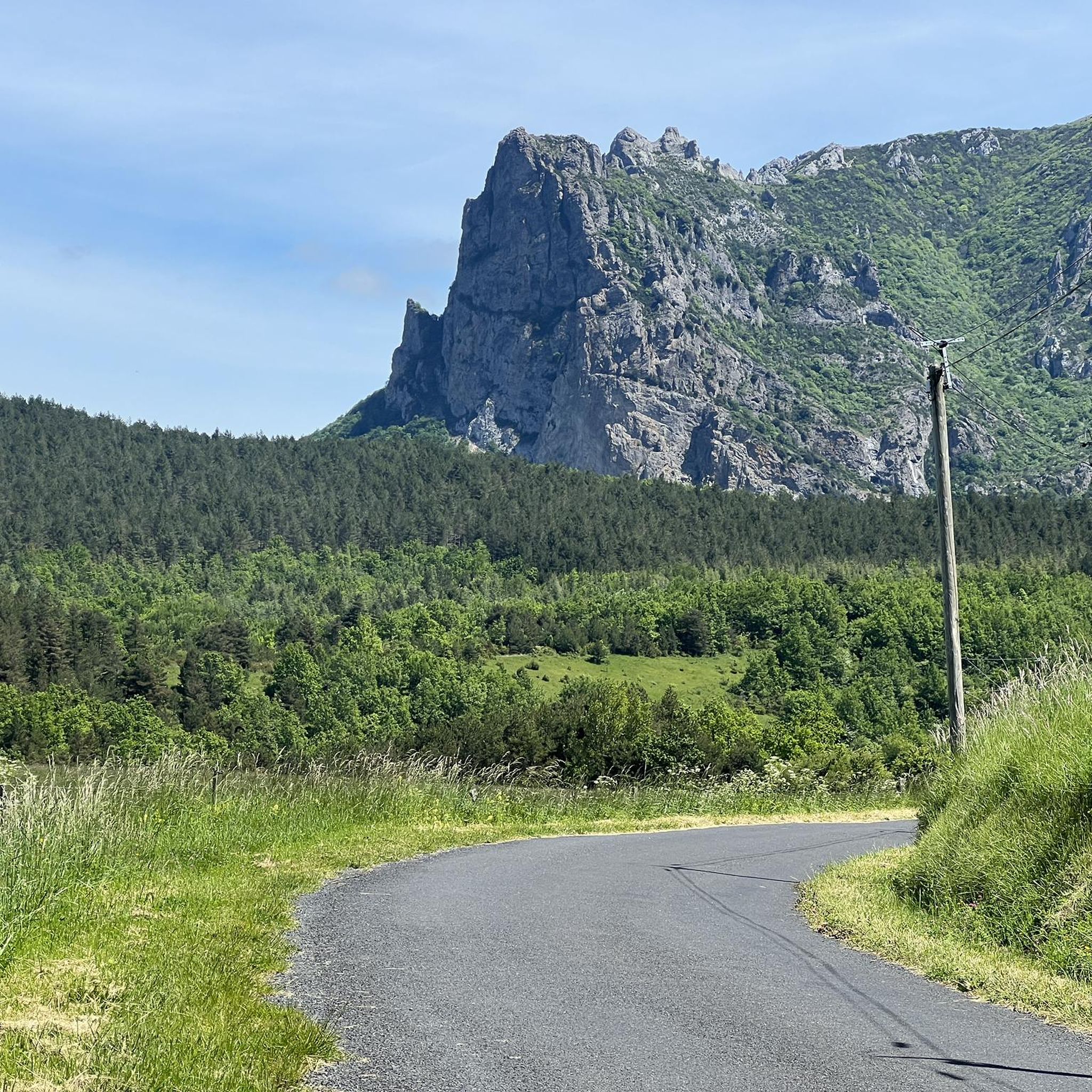

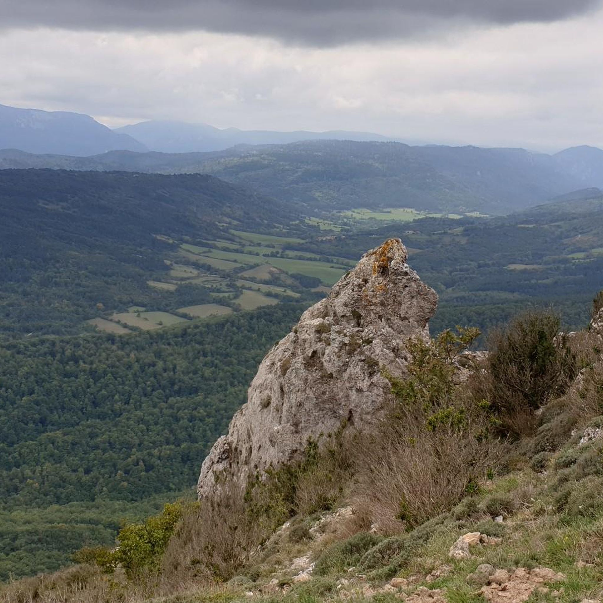

Tips from the Community

The waterfall is in a different location, about 1 km further and is not directly on the Katharerweg. I was disappointed when there was nothing to see at this spot. Thanks to the directions from three French people, I found the right place 😅.
0
0

nice walk, 2 hours of climbing, 600m of elevation gain over 3 km, a bit of mud at the start and then much drier!!
0
0

Beautiful small reservoir located in front of the village of Bugarach.
1
0

Pass after the Galamus gorges. It is also the starting point for hikes to the mysterious Pic Bugarach.
0
0

At 1,230 m, it's the highest peak in the Corbières. A very beautiful vantage point. However, the ascent from the southwest requires sturdy shoes and surefootedness.
2
2
The mountain is broken... 😁 Seriously, holes like this don't come around very often. I saw the last one in Corsica before Paglia Orba. The path up here and further to the summit requires sturdy shoes and a certain degree of surefootedness.
3
0

Difficult, only to ascend, best not to descend on this side.
1
0
Frequently Asked Questions
How many hiking trails are available in Saint-Louis-Et-Parahou?
Saint-Louis-Et-Parahou offers a wide variety of hiking experiences, with over 110 routes available. These range from easy strolls to challenging mountain ascents, catering to all skill levels.
What kind of landscapes can I expect to see while hiking in Saint-Louis-Et-Parahou?
The region boasts diverse and dramatic natural landscapes. You'll encounter the iconic Pech de Bugarach, offering panoramic views, and explore areas within the Corbières-Fenouillèdes Regional Nature Park, characterized by steep escarpments, valleys, and forests. Spectacular natural gorges like the Gorges de Galamus and the Gorges de l'Aude are also prominent features.
Are there any circular hiking routes in Saint-Louis-Et-Parahou?
Yes, many of the trails in Saint-Louis-Et-Parahou are circular, allowing you to start and end at the same point. A popular option is The Roman Bridge loop from Bugarach, a moderate 6.1 km path featuring historic landmarks and scenic river views. For a more challenging circular route, consider The window – Pech de Bugarach loop from Bugarach.
What historical sites can I visit while hiking in the area?
The region is rich in history, particularly with its Cathar heritage. You can integrate visits to impressive Cathar castles like Château de Puilaurens, which is often visible from hiking paths. Other significant castles such as Quéribus and Peyrepertuse are also within reach. Some trails even pass by sites of ancient glass kilns, adding an archaeological dimension to your hike.
Are there any trails that feature waterfalls or unique natural springs?
Yes, you can discover beautiful natural water features. The Lake Vène – Mathieux Waterfall loop from Bugarach is a great option that leads you to the Mathieux Waterfall. Additionally, the source of the Agly river and the unique "Fontaine Salée" (salty spring) can be explored on certain trails.
What do other hikers say about the trails in Saint-Louis-Et-Parahou?
The hiking routes in Saint-Louis-Et-Parahou are highly regarded by the komoot community, with an average rating of 4.5 stars from over 600 reviews. Hikers frequently praise the stunning panoramic views, the well-preserved natural landscapes, and the intriguing historical sites along the trails.
Are there any challenging hikes for experienced trekkers?
Absolutely. For experienced hikers, the region offers several difficult routes with significant elevation gain. The The window – Pech de Bugarach loop from Bugarach is a challenging 12.6 km trail with over 750 meters of ascent, providing rewarding panoramic views from the summit of Pech de Bugarach. Another demanding option is The Roman Bridge – Pech de Bugarach loop from Bugarach, which covers 18.37 km.
Can I find trails suitable for a shorter walk?
Yes, there are plenty of options for shorter, less strenuous walks. For example, the The Roman Bridge loop from Bugarach is a moderate 6.1 km path that can be completed in under two hours, offering a pleasant experience without a demanding climb.
What is the highest point I can reach on a hike in this region?
The highest point you can reach on a hike in the immediate vicinity is the summit of Pech de Bugarach, which stands at 1007 meters. Several routes lead to its peak, including Pech de Bugarach – The window loop from Pech de Bugarach, offering unparalleled views of the Corbières region.
Are there any long-distance hiking trails that pass through Saint-Louis-Et-Parahou?
Yes, the region is part of the extensive trail network, including sections of the long-distance Cathar Trail (GR®367). These trails offer opportunities for multi-day treks and connect various historical and natural sites across the wider Occitanie region.
What are the general terrain characteristics for hiking in Saint-Louis-Et-Parahou?
The terrain around Saint-Louis-Et-Parahou is predominantly mountainous, featuring varying elevations from 519m to 1007m. You'll encounter deep gorges, dense forests, and open rocky landscapes, providing a diverse and engaging hiking experience. Paths can range from well-trodden tracks to more rugged, less-marked trails.
Most popular routes around Saint-Louis-Et-Parahou
Most popular attractions around Saint-Louis-Et-Parahou

Get inspired with the komoot mobile app


Explore more
Browse the best Hikes in other regions.
