The best mountain hikes around Waltershausen
4.8
(6)
42
hikers
3
hikes
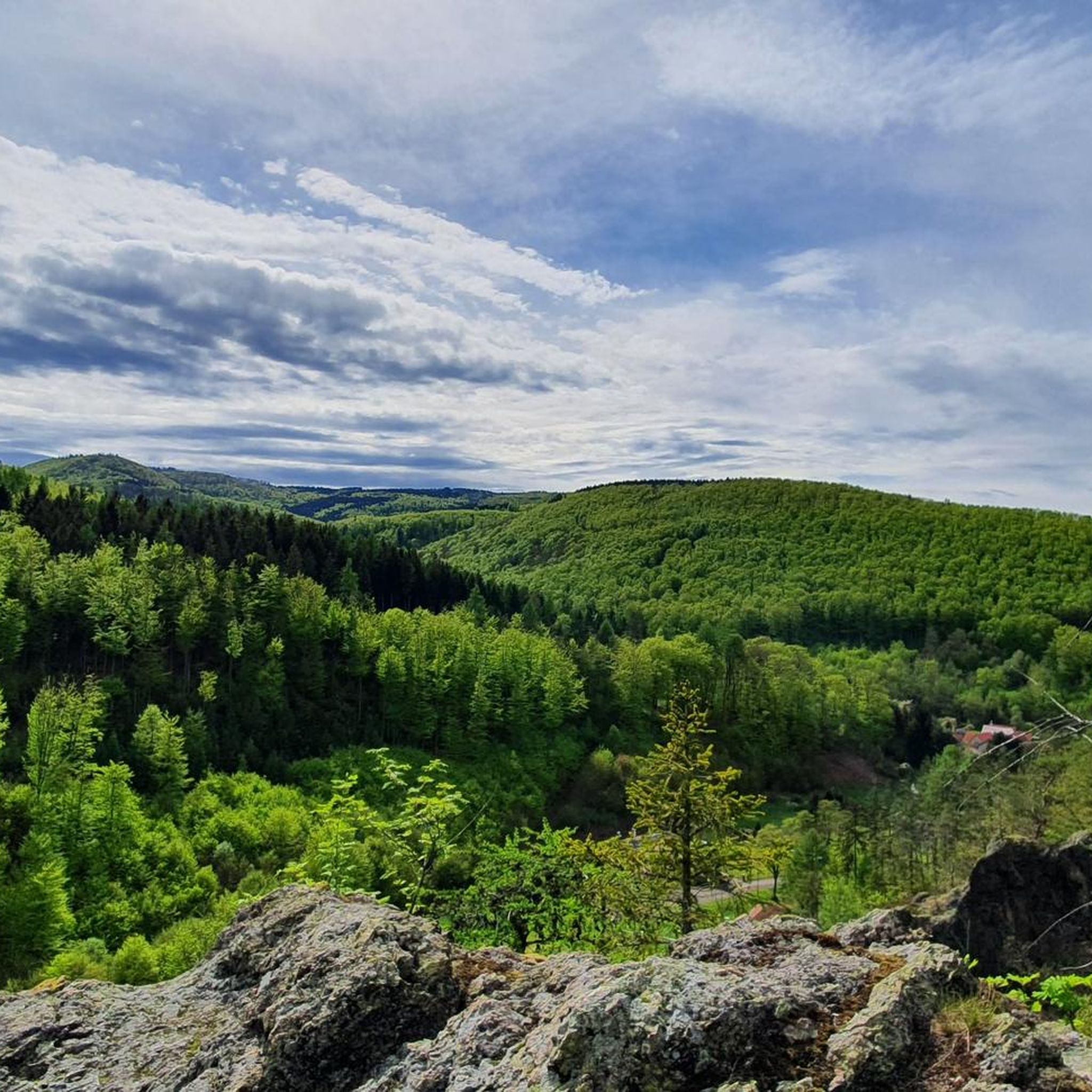
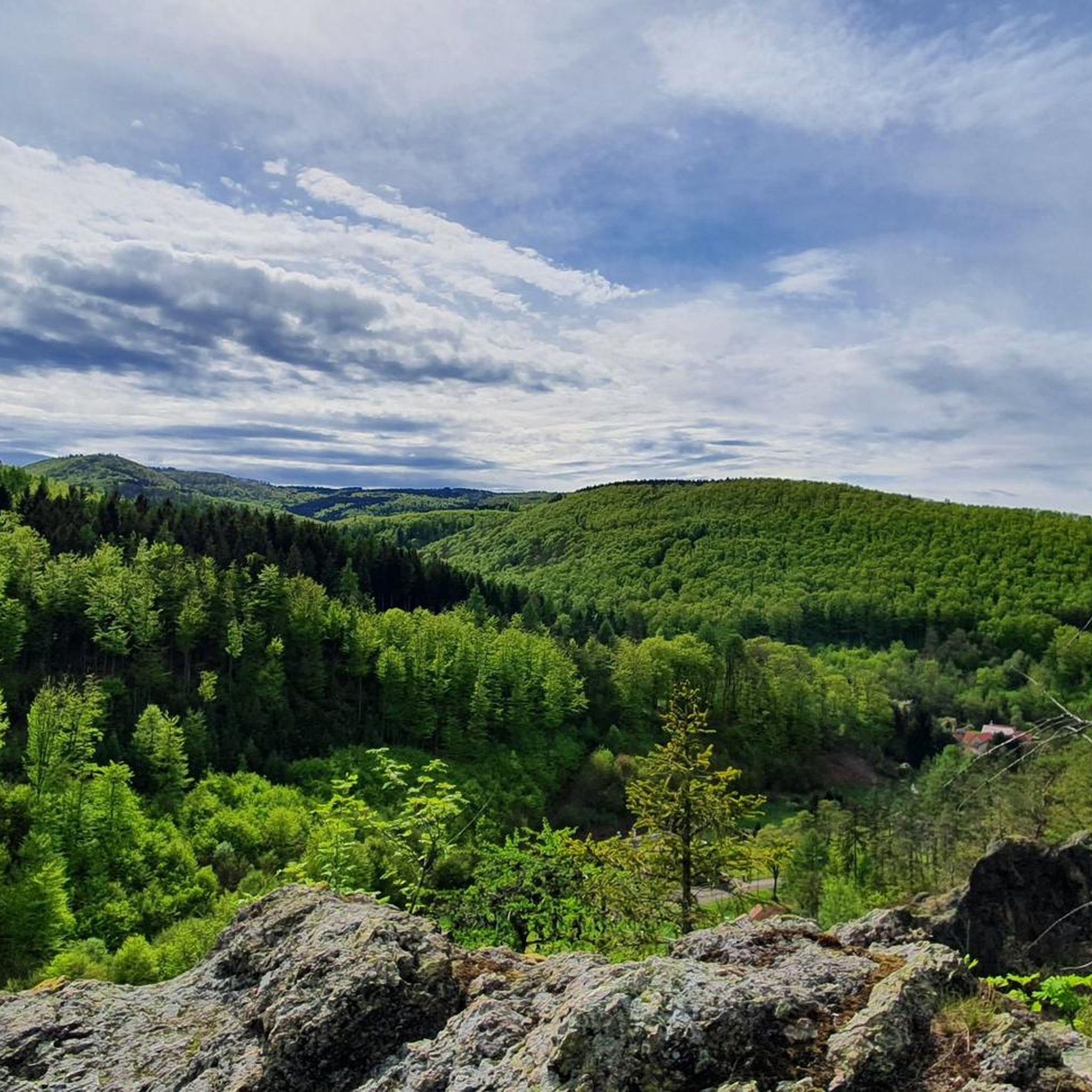
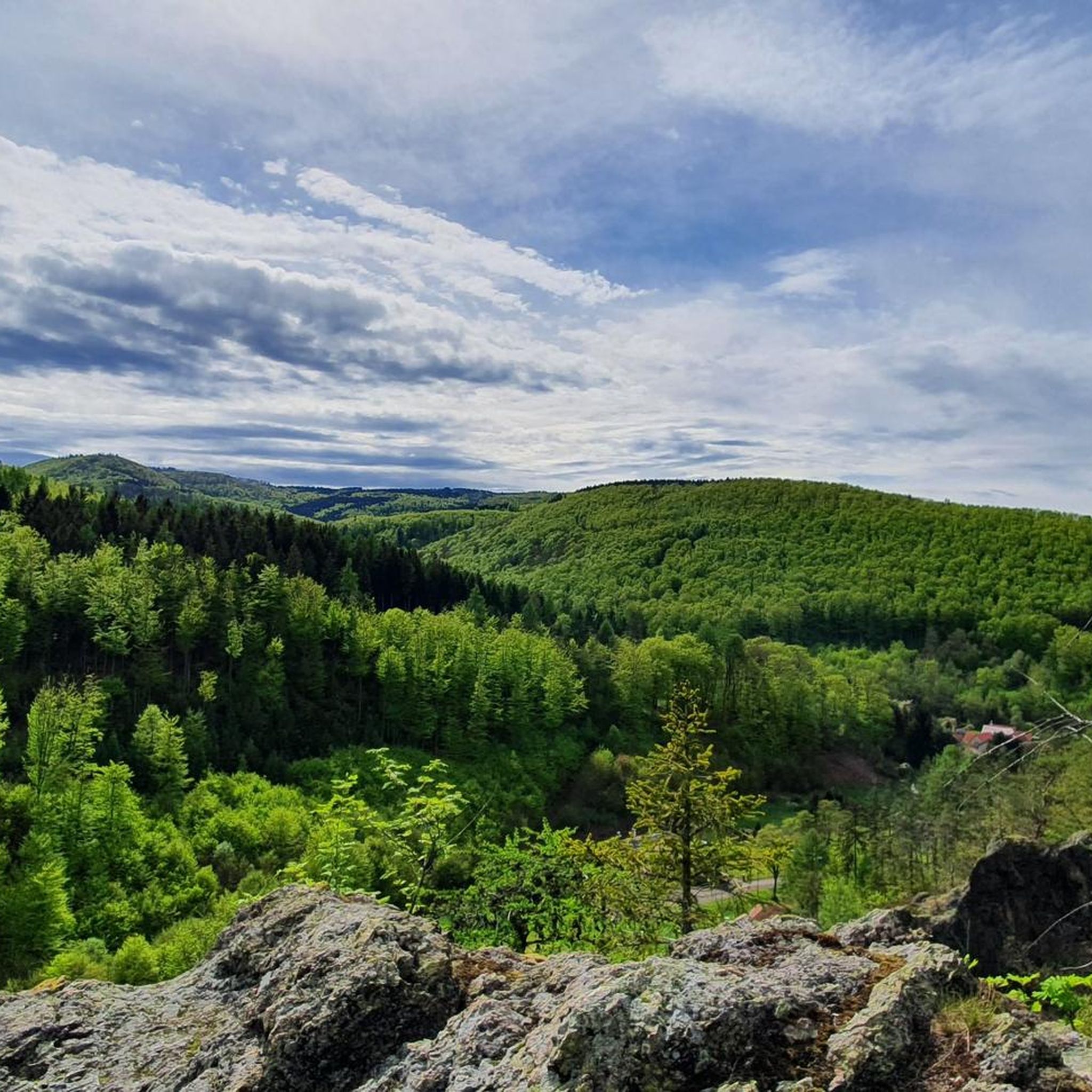
Mountaineering around Waltershausen offers access to the diverse landscapes of the Thuringian Forest, a low mountain range characterized by rolling hills and extensive woodlands. The region features significant peaks like the Großer Inselsberg, the fourth-highest mountain in Thuringia, and several dramatic gorges. This varied terrain provides numerous opportunities for challenging hikes and mountain exploration. Rivers such as the Apfelstädt and picturesque ponds also define the area's natural composition.
Best mountaineering routes around Waltershausen
- The most popular mountaineering route is Torstein…
Last updated: October 20, 2026
4.8
(6)
30
hikers
8.59km
02:53
330m
330m
Moderate mountaineering route. Good fitness required. Mostly walkable paths. Sure-footedness required.
11
hikers
6.49km
01:52
160m
160m
Easy mountaineering route. Easily walkable paths.

15.6km
04:26
360m
360m
Moderate mountaineering route. Good fitness required. Easily walkable paths.
1
hikers
5.88km
01:38
100m
100m
Easy mountaineering route. Easily walkable paths.
Our route recommendations are based on thousands of hikes, rides, and runs completed by other people on komoot.
Start today with a free account
Your next adventure awaits.


Tips from the Community

The „Neue Ausspanne“ is a central hub in the Thuringian Forest, where the state road L1028 between Schmalkalden and Tambach-Dietharz directly crosses the Rennsteig ridge trail. It is located at an altitude of around 714 meters and forms the perfect starting point for the approximately 14-kilometer Rennsteig hike (Stage 3) to the Grenzadler near Oberhof.
6
0

Here you can have a fresh drink.
6
0

From this stop on the Thuringian Forest Railway (Line 4), it's just 200 meters to the Marienglashöhle (Marienglas Cave). Guided tours are offered hourly and are very interesting.
0
0

The climb is worth it…
0
0


Here you can cool your feet in the water after a hike. There's also a barefoot path on the grounds, and you can also see dinosaurs here...a place to relax and unwind...
3
0

Even in the 19th century, the Rennsteig was the official border between small central German states over long stretches (Hesse and Thuringia). The area north of the ridge path between Inselberg and Oberhof belonged to the Duchy of Saxe-Coburg and Gotha. (1826) The southern territory of the later Schmalkalden district was an exclave of the Electorate of Hesse-Kassel (since 1803), which became Prussian as a result of the war of 1866. The intersections of the Schmalkaldic border with main roads were marked with the Prussian eagle, which became known as the "border eagle".
0
0

Ideal for a short rest
0
0
Frequently Asked Questions
What kind of terrain and difficulty can I expect on mountaineering routes around Waltershausen?
Mountaineering routes around Waltershausen primarily traverse the diverse landscapes of the Thuringian Forest. You'll encounter rolling hills, extensive woodlands, and significant peaks like the Großer Inselsberg. The area also features dramatic gorges such as the Dragon Gorge and the Bärenbruchsgraben Gorge, offering varied terrain. Routes range from easy forest walks to moderate ascents, with options suitable for different ability levels. There are 2 easy and 2 moderate routes available in this guide.
Are there any family-friendly mountaineering routes near Waltershausen?
Yes, there are several easy routes suitable for families. For a gentle exploration, consider the Backofenloch in the Lauchagrund – Backofenloch Cave loop from Bad Tabarz, which is 4.0 miles (6.4 km) long. Another easy option is the Friedenspark with herb garden – Ludowinger Spring, Friedrichroda loop from Reinhardsbrunn-Friedrichroda, covering 3.3 miles (5.3 km).
What are some notable natural landmarks or viewpoints I can discover along these routes?
The region is rich in natural beauty and viewpoints. You can explore the unique Dragon Gorge with its moss-covered rocks, or visit the Great Drachenstein Oak and Viewpoint. The Großer Inselsberg, the fourth-highest mountain in Thuringia, also offers panoramic views from its observation tower. Additionally, the View of the Wartburg from Marienblick provides a stunning vista.
Are there any circular mountaineering routes available?
Yes, all the routes featured in this guide are circular, allowing you to start and end at the same point. For example, the Torstein Rock Arch – Red Tower loop from Bad Tabarz is a moderate 5.3 miles (8.6 km) trail, and the Backofenloch Cave – Torstein Rock Arch loop from Bad Tabarz offers a longer, moderate 7.8 miles (12.5 km) experience.
What is the best time of year for mountaineering around Waltershausen?
Waltershausen's temperate climate offers distinct seasons. Spring and autumn provide pleasant temperatures and vibrant scenery, ideal for hiking. Summer is also suitable, though some areas might be warmer. During colder months, the region experiences cold, snowy winters, making it suitable for winter sports, but requiring appropriate gear for mountaineering.
Are there routes that feature water elements like rivers or ponds?
Yes, Waltershausen is situated on the Apfelstädt river, and several routes incorporate water features. The Wedelbachteich – Apfelstädt Spring loop from Tambach-Dietharz is a great option, leading you past the Wedelbachteich ponds and towards the Apfelstädt Spring, offering picturesque views.
What do other mountaineers say about the routes in Waltershausen?
The mountaineering routes around Waltershausen are highly regarded by the komoot community, holding an impressive average rating of 4.75 stars from 7 reviews. Many visitors appreciate the diverse terrain, from extensive woodlands to significant peaks and dramatic gorges, providing a rewarding experience for various skill levels.
Are there any historical sites or castles near the mountaineering trails?
While the primary focus is on natural landscapes, the broader region around Waltershausen does feature historical sites. You can find several castles nearby, such as Altenstein Castle, Scharfenburg Keep, and the Ruins of Liebenstein Castle. These can be explored as separate excursions or combined with shorter hikes.
How many mountaineering routes are covered in this guide?
This guide features 5 distinct mountaineering routes around Waltershausen, offering a variety of options for different preferences and skill levels.
Can I find routes that offer a sense of wilderness or unique natural phenomena?
Absolutely. The Thuringian Forest, while a low mountain range, offers areas that have developed a 'tundra-like grassland' appearance due to natural changes, presenting a unique landscape. The dramatic gorges like the Dragon Gorge also provide a distinct and immersive natural experience.
Is Waltershausen a good base for exploring the Thuringian Forest?
Yes, Waltershausen is often referred to as the 'gate to the Thuringian Forest' due to its strategic location. It provides direct and easy access to the extensive low mountain range, making it an excellent starting point for exploring its diverse landscapes, peaks, and gorges.
Most popular routes around Waltershausen
Most popular attractions around Waltershausen

Get inspired with the komoot mobile app


Explore more
Browse the best Mountain Hikes & Routes in other regions.
