The best running trails around Unterweid
4.6
(122)
1,172
runners
108
runs
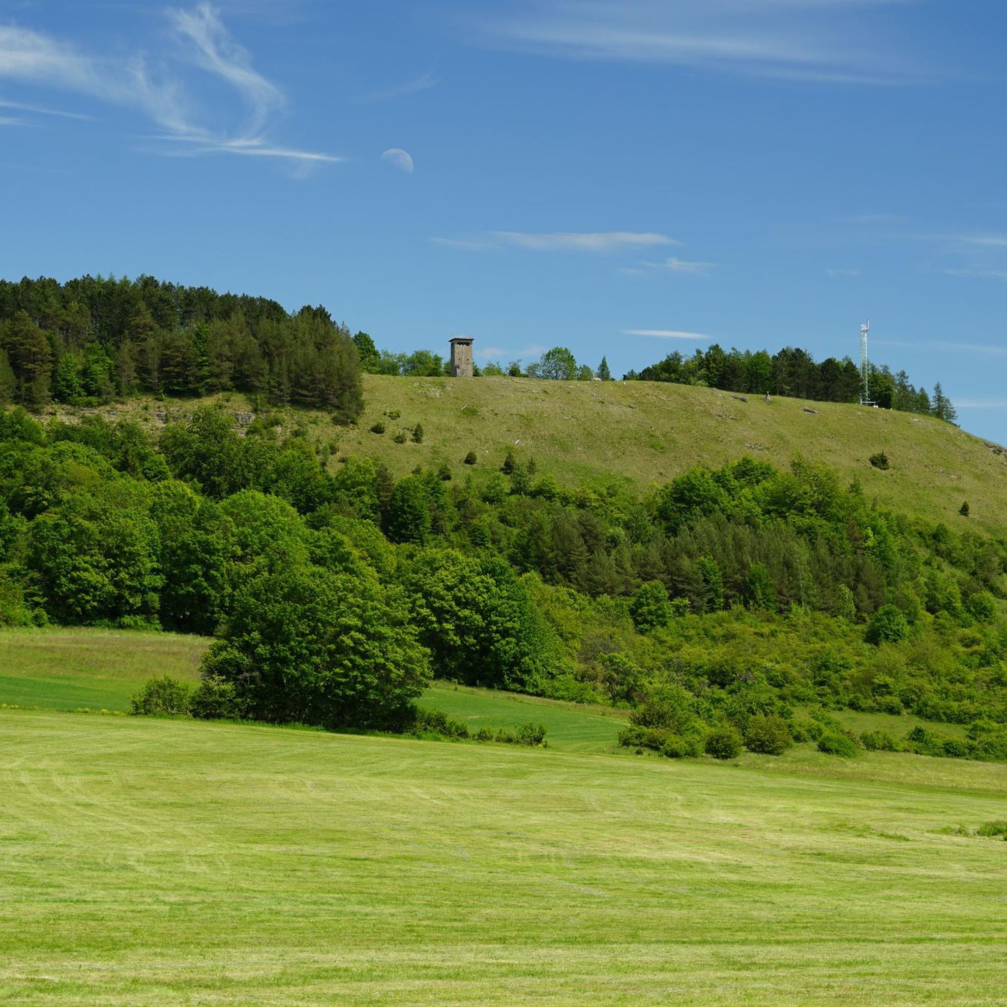
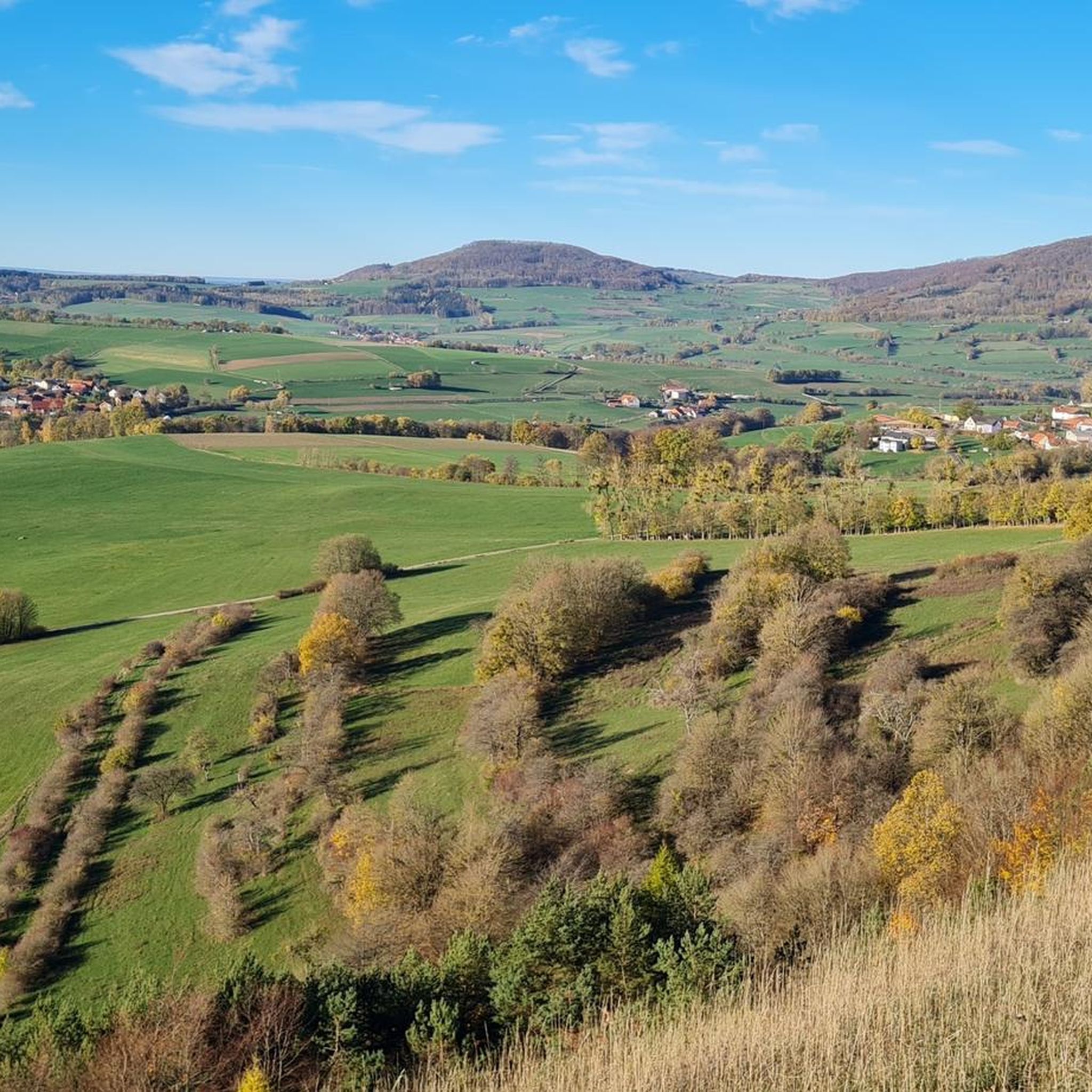
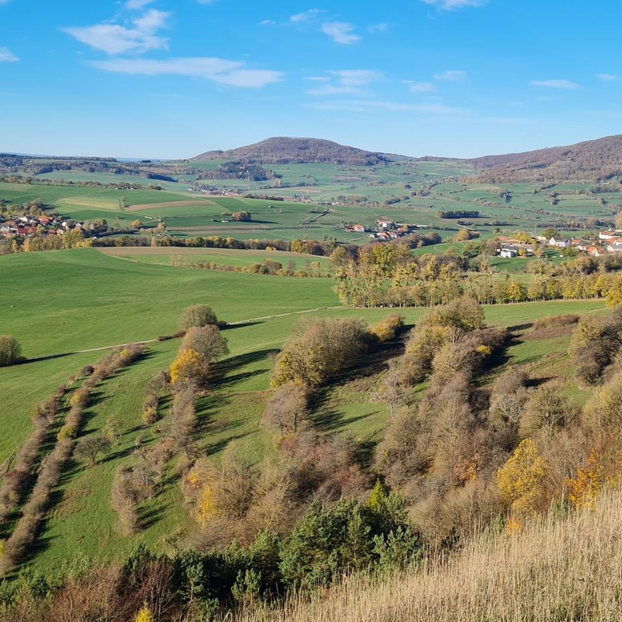
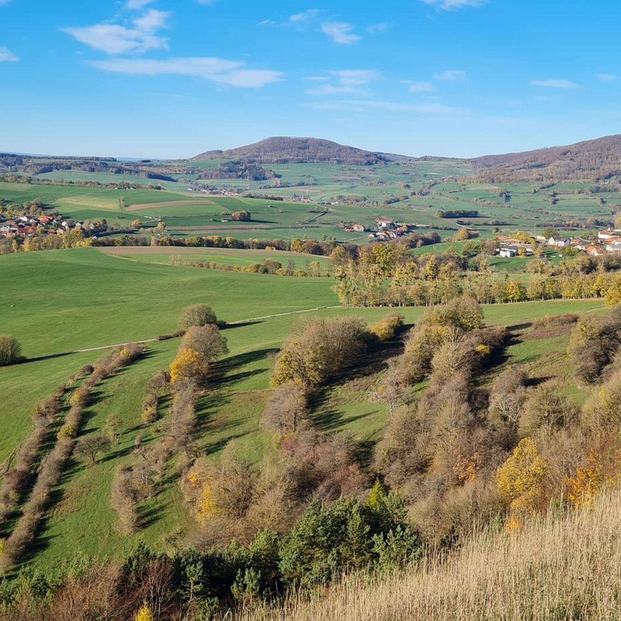
Jogging around Unterweid offers access to the diverse landscapes of the UNESCO Rhön Biosphere Reserve. The region is characterized by wide, open plateaus, rolling hills, and mixed forests, providing varied terrain for runners. Situated in the scenic Weidtal, the area features basalt and gravel cones, some bare and others covered with woodlands, creating a visually engaging environment for outdoor activities. This natural setting ensures a range of running experiences, from gentle paths through valleys to more challenging routes across elevated…
Last updated: October 4, 2026
4.6
(8)
11
runners
Moderate run. Good fitness required. Mostly paved surfaces. Suitable for all skill levels.
5.0
(1)
13
runners
28.9km
03:06
190m
190m
Hard run. Very good fitness required. Mostly paved surfaces. Suitable for all skill levels.

4.0
(4)
11
runners
Moderate run. Good fitness required. Mostly paved surfaces. Suitable for all skill levels.
9
runners
5.72km
00:42
170m
160m
Moderate run. Good fitness required. Mostly paved surfaces. Suitable for all skill levels.
12
runners
Moderate run. Good fitness required. Mostly paved surfaces. Suitable for all skill levels.
Get access to more routes and recommendations from other explorers.
Already have an account?
Our route recommendations are based on thousands of hikes, rides, and runs completed by other people on komoot.
Start today with a free account
Your next adventure awaits.

Tips from the Community

The first documented mention of Geisa dates back to the year 817. In 1302, the designation of city appears for the first time in a document. The chronicler once described the old town, picturesquely beautiful, as a "strawberry in a moss basket" on a long ridge (280 to 322 m above sea level) between the mountain tops of the Vordere Rhön. The towers of the parish church, the town hall and the Schlossplatz ensemble, the historically grown arrangement of residential buildings in conjunction with the approx. 1000 m long town fortifications and the park-like designed summit of the Gangolfiberg with an ancient court and the architecturally historically valuable cemetery chapel "St. Gangolf" with an external pulpit, shape a romantically dreamy image. Source: https://www.thueringen.info/ort/geisa/
1
0
The Catholic parish church was built between 1489 and 1504; the main room was created in 1497, evidenced by an inscription from the donors Tolde Knauf and Hans Steffen. A church already existed in Geisa in the 14th century, and the current sacristy may still date from that period. The building is uniformly late Gothic in design, with a natural stone facade, high buttresses, and ornate tracery windows. The west tower with five stories and a 16th-century stair tower are striking. The tower's summit was renewed in 1988/89. Inside, there is a high, light-flooded church interior. Significant furnishings include a baptismal font from the construction period, a pulpit from 1703, a triumphal arch with a Corpus Christi, and frescoes from around 1500. Particularly valuable is the winged altarpiece from 1491 with depictions from the life of Mary and the Passion of Christ. Relics are exhibited in the sacristy, and an organ from 1848 is located in the gallery. Since 2003, the tower's upper section has also housed a carillon with 49 bronze bells. The automatic playing system has set playing times, including (11 a.m., 3 p.m., and 7 p.m.). However, carillon concerts also take place regularly. During these concerts, it is possible to look over the carillonneur's shoulder.
1
0

Beautiful old town in Geisa.
0
0

The Catholic parish church was built between 1489 and 1504 and is the only Gothic church in the Geisa deanery that has survived from the Middle Ages. Worthy of note are the valuable late Gothic winged altar from 1491, a rectangular stone offering box from 1517, and a baptismal font with late Gothic tracery from 1527. (Source: Thüringen.info)
1
0
A truly picturesque old town with a beautiful town hall and impressive castle.
1
0

beautiful half-timbered house in the center of Geisa.
0
0

Beautiful large barbecue area of the Rhönclub
7
0

Frequently Asked Questions
How many running routes are available around Unterweid?
There are over 100 running routes in and around Unterweid, catering to various fitness levels. You'll find a good mix of easy, moderate, and challenging trails to explore the beautiful Rhön Biosphere Reserve.
Are there any easy or beginner-friendly jogging routes in Unterweid?
Yes, Unterweid offers several easy running routes perfect for beginners or those looking for a relaxed jog. There are 11 easy routes available, often following flatter paths through valleys or along the Ulstertal Cycle Path. For example, the Ulstertal Cycle Path loop from Tann (Rhön) is a moderate option that provides a scenic experience.
What kind of landscapes can I expect to see while running in the Unterweid area?
The Unterweid area, nestled within the UNESCO Rhön Biosphere Reserve, is known as the 'land of open vistas.' You can expect to run through wide, open plateaus offering expansive views, rolling hills, and mixed forests. The scenic Weidtal, surrounded by basalt and gravel cones, also provides a visually engaging environment for your runs.
Are there any circular running routes available?
Yes, many of the running routes around Unterweid are circular, allowing you to start and end at the same point. A popular moderate option is the View of Roßberg – View of Buchschirm loop from Tann (Rhön), which offers expansive views across the rolling hills.
What are some notable natural attractions or points of interest along the running trails?
While running around Unterweid, you can encounter several natural highlights. The nearby Schwarzes Moor Nature Trail offers a unique ecosystem with a boardwalk. You might also pass by the Great Moor Eye (Black Moor) or the Basalt Lake Waterfall. The region's diverse flora and fauna, preserved due to its history, also add to the experience.
What do other runners say about the trails in Unterweid?
The running routes in Unterweid are highly rated by the komoot community, with an average score of 4.5 stars from over 100 reviews. Runners often praise the diverse terrain, from open plateaus to mixed forests, and the well-maintained paths that make for an enjoyable experience. Over 1,100 runners have used komoot to explore this varied landscape.
Are there any challenging or longer running routes for experienced runners?
Absolutely. For experienced runners seeking a challenge, there are 23 difficult routes available. One such route is the View of Buchschirm – View of Roßberg loop from Tann (Rhön), which spans nearly 29 km and leads through open plateaus and mixed forests, typically taking over 3 hours to complete.
Can I find running routes that offer scenic viewpoints?
Yes, the 'land of open vistas' lives up to its name. Many routes provide excellent views of Unterweid and the surrounding mountains. For instance, the View of Simmershausen – Buchschirm loop from Auersberg nördlich Hilders offers great panoramas. You can also find specific viewpoints like the Noah's Segel Observation Tower on the Ellenbogen or the Buchschirmberg summit and Kreuz des Ostens (Cross of the East) near some trails.
Is the Unterweid region suitable for family-friendly running or walking?
Yes, the diverse network of trails includes many options suitable for families. The easier and moderate routes, particularly those following the Ulstertal Cycle Path or through less challenging terrain, are great for a family outing. The region's natural beauty and points of interest like the Schwarzes Moor boardwalk can make for an engaging experience for all ages.
What is the best time of year to go jogging in Unterweid?
The Rhön Biosphere Reserve offers appealing scenery throughout the year. Spring brings blooming wildflowers, summer provides lush green landscapes, and autumn showcases vibrant fall colors. Even winter can be beautiful for jogging, though some trails might require appropriate gear for snow or ice. The varied terrain ensures a constantly changing and engaging environment regardless of the season.
Are there any specific trails that highlight the unique biodiversity of the Rhön?
The entire Rhön Biosphere Reserve is recognized for its unique cultural landscape and biodiversity. The local circular hiking trail, Rhön-Rundweg 1 Unterweid, for example, passes by the Alpinum, a mountain garden showcasing local and rare plants. On many trails, you can observe typical Rhön flora like silver thistles, orchids, and calcareous grasslands, especially in the open plateau areas.
Most popular attractions around Unterweid

Get inspired with the komoot mobile app


Explore more
Browse the best Running Trails & Routes in other regions.
