The best walks and hikes around Le Bousquet
4.5
(274)
2,338
hikers
83
hikes
Hiking around Le Bousquet offers access to mountainous terrain, characterized by high passes and peaks. The landscape features significant elevation changes, providing challenging ascents and panoramic views. Trails often traverse varied environments, from open mountain slopes to forested sections, making for diverse hiking experiences.
Best hiking trails around Le Bousquet
- The most popular hiking route is Jau Pass – Peak Valley loop from Col de Jau, a 10.5 miles (16.9 km) trail that takes 5 hours 55 minutes to…
Last updated: July 4, 2026
5.0
(3)
77
hikers
16.9km
05:56
930m
930m
Hard hike. Very good fitness required. Easily-accessible paths. Suitable for all skill levels.
4.0
(2)
27
hikers
18.3km
05:54
750m
750m
Hard hike. Very good fitness required. Easily-accessible paths. Suitable for all skill levels.

Sign up for free
5.0
(2)
18
hikers
16.3km
05:14
680m
680m
Hard hike. Very good fitness required. Easily-accessible paths. Suitable for all skill levels.
5.0
(2)
8
hikers
18.3km
06:24
1,000m
1,000m
Hard hike. Very good fitness required. Easily-accessible paths. Suitable for all skill levels.
5.0
(3)
17
hikers
9.14km
03:07
460m
460m
Moderate hike. Good fitness required. Easily-accessible paths. Suitable for all skill levels.
Get access to more routes and recommendations from other explorers.
Sign up for free
Already have an account?
Our route recommendations are based on thousands of hikes, rides, and runs completed by other people on komoot.
Start today with a free account
Your next adventure awaits.
Login or Signup

Tips from the Community

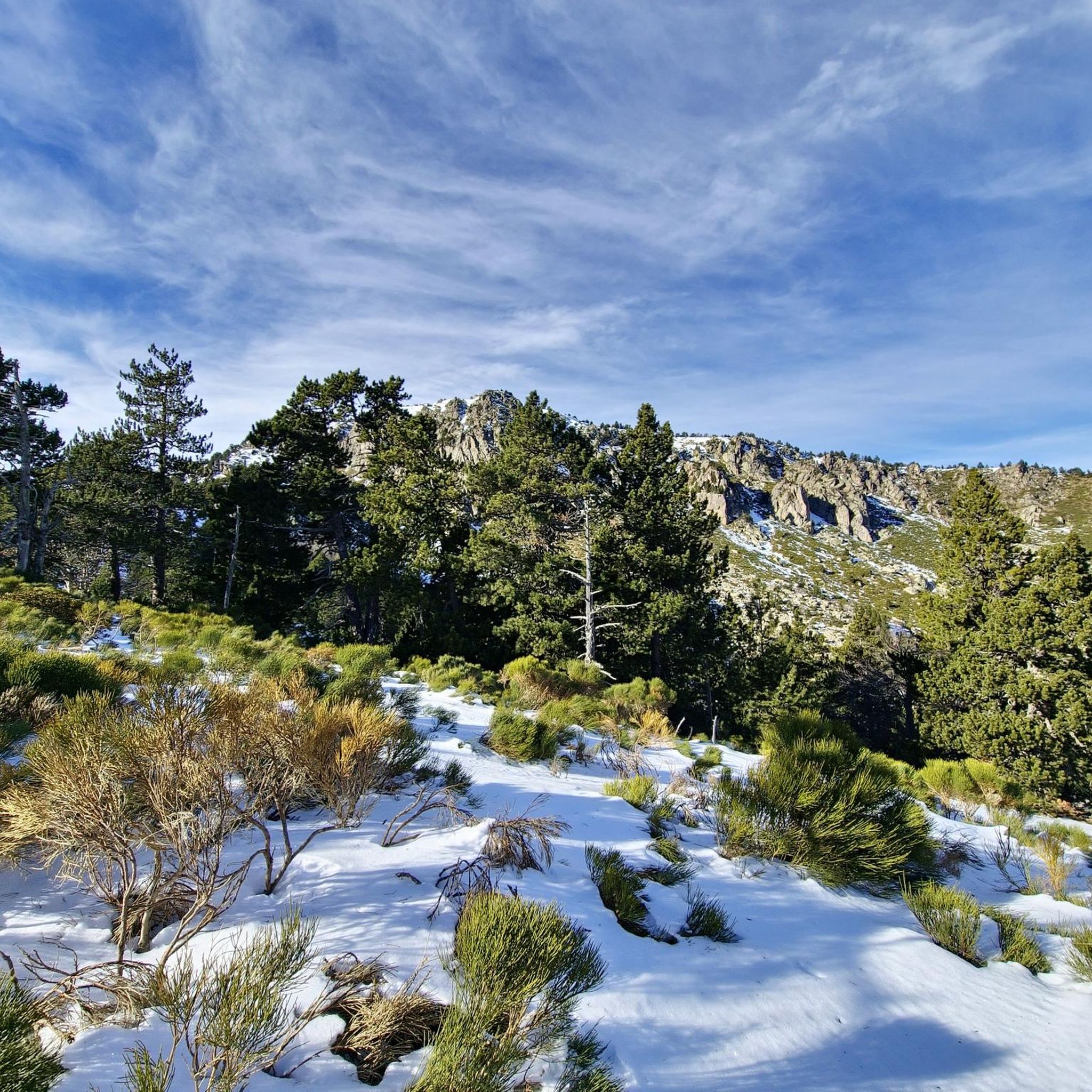
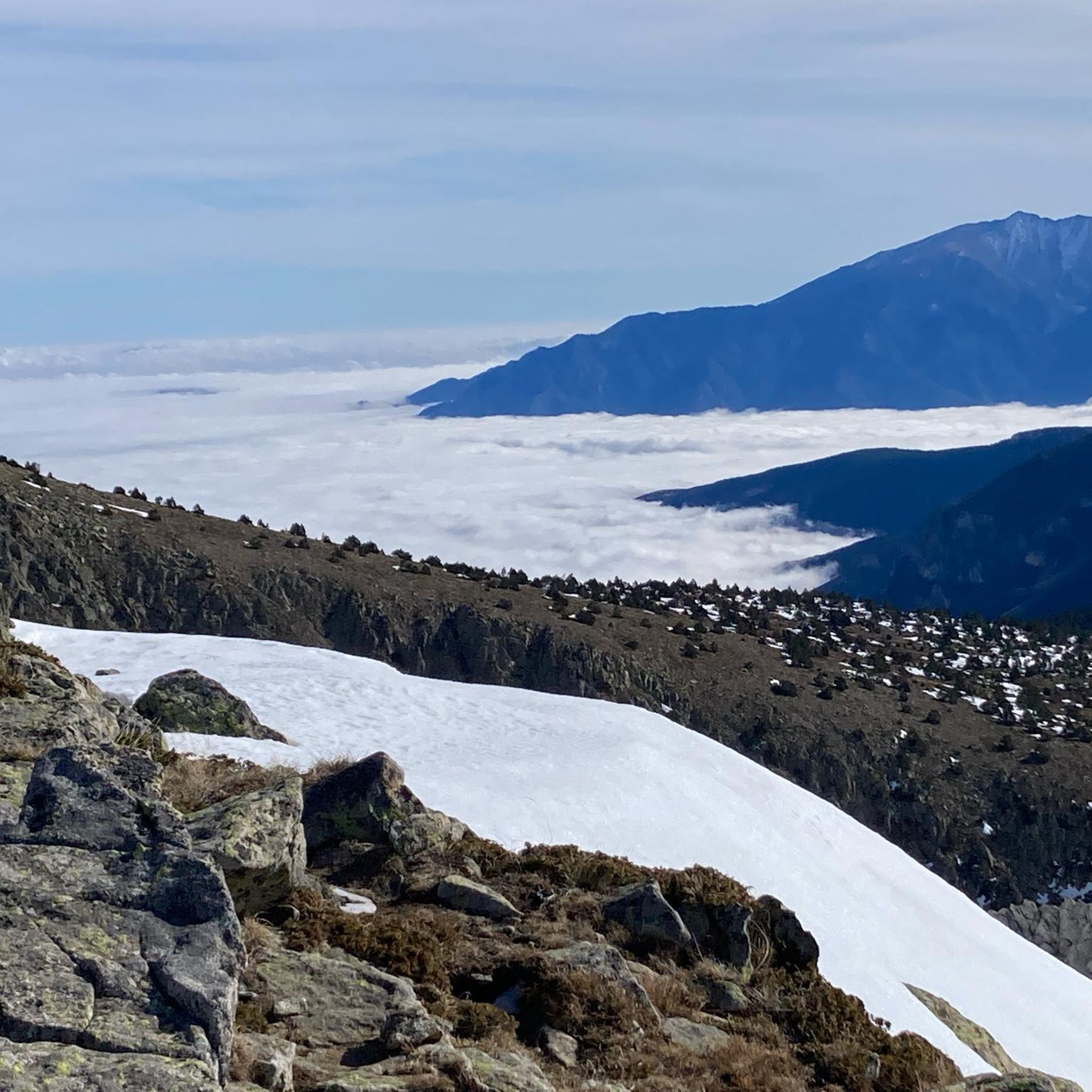
From here you can enjoy a wide panorama of the Catalan Pyrenees. To the left, towards the Carcanet biological reserve. To the right and straight ahead, towards the summits with the pic de Madrès, the highest mountain in the area.
0
0


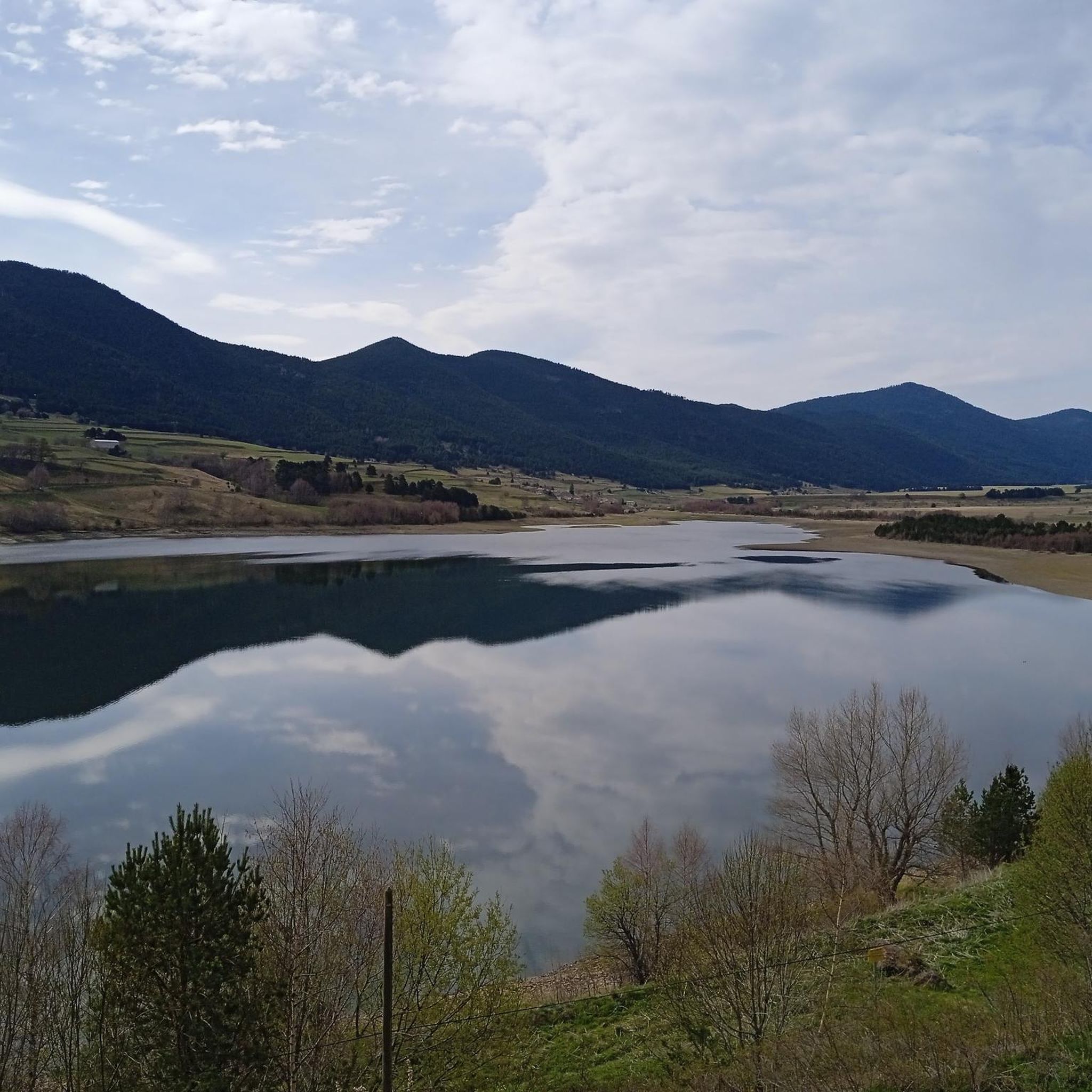
The Oller refuge (not guarded) is located halfway up the Pic de Madrès from Odeillo. From this point, you will have privileged views over places such as Puyvalador and its lake, the old station and the Pic de Ginèvre area, the Llissa Cremada, etc. As for the shelter, it is not very big but it is very pleasant and well equipped. It has bunk beds for four people, a stove and firewood, some books, maps...
0
0
The Oller refuge (not guarded) is located halfway up the Pic de Madrès from Odeillo. From this point, you will have privileged views over places such as Puyvalador and its lake, the old station and the Pic de Ginèvre area, the Llissa Cremada, etc. As for the shelter, it is not very big but it is very pleasant and well equipped. It has bunk beds for four people, a stove and firewood, some books, maps...
1
0

above the forest of Lisser you will find a splendid starting point for walks
0
0

Beautiful Port from Campome. Continuous climb and with excellent views.
0
0

Good morning all ! small unguarded refuge affordable to all! I trust you to keep it in good condition! 😉
0
0

Beautiful climb with beautiful trees!
1
0
Frequently Asked Questions
How many hiking trails are available around Le Bousquet?
There are over 75 hiking trails around Le Bousquet, offering a wide range of experiences. You'll find options from easy strolls to challenging mountain expeditions, with 14 easy, 46 moderate, and 16 difficult routes to choose from.
What kind of terrain will I encounter on hikes in Le Bousquet?
Hiking around Le Bousquet primarily involves mountainous terrain, characterized by significant elevation changes, high passes, and peaks. Trails traverse diverse environments, from open mountain slopes to forested sections, providing varied and engaging experiences within the Haut-Languedoc Regional Natural Park.
Are there any circular hiking routes in Le Bousquet?
Yes, many routes in Le Bousquet are circular. For example, the moderate Jau Pass – Col de Jau loop from Col de Jau is a popular 13.6 km trail that takes about 4 hours 21 minutes to complete, offering stunning mountain pass views.
What are some challenging hikes in the Le Bousquet area?
For experienced hikers, Le Bousquet offers several challenging routes. The Jau Pass – Peak Valley loop from Col de Jau is a difficult 16.9 km trail with significant elevation gain, typically taking nearly 6 hours. Another demanding option is the Roc Negre – Refuge du Pla de Grill loop from Réal, an 18.7 km path that offers challenging terrain and expansive views of the surrounding peaks.
Are there any shorter or easier hikes suitable for beginners?
Yes, Le Bousquet has 14 easy routes. A good moderate option for those looking for a shorter mountain experience is the Col de Jau – Pic Dourmidou loop from Col de Jau. This 6.17 km route can be completed in just over 2 hours and still offers beautiful mountain scenery.
What kind of natural features or landmarks can I see while hiking?
The region is rich in natural beauty and mountain passes. You can explore areas like Col de Jau, Col de la Creu, and Col du Garavel (1256 m). The Haut-Languedoc Regional Natural Park itself offers diverse landscapes, from forests to open mountain slopes.
What do other hikers say about the trails in Le Bousquet?
The hiking trails in Le Bousquet are highly regarded by the komoot community, with an average rating of 4.5 stars from over 280 reviews. Hikers often praise the challenging ascents, varied terrain, and the expansive mountain vistas found throughout the region.
Are there any specific attractions or villages to visit near the hiking areas?
Beyond the trails, the region offers charming villages and natural sites. Avène is known for its thermal baths, and Lunas is a picturesque 'green station' with historical significance, including a rebuilt castle. The Monts d'Orb Dam and Lac d'Avène also provide scenic spots to explore.
Is it possible to reach hiking trailheads by public transport?
While many trailheads in mountainous regions often require private transport, the village of Lunas, near some areas of Le Bousquet, has a railway station, which might offer access points to the wider region. For specific trailheads, checking local bus services or carpooling is recommended.
What is the best time of year to go hiking in Le Bousquet?
The best time for hiking in Le Bousquet is generally from spring through autumn when the weather is most favorable for mountain activities. During these seasons, you can fully appreciate the diverse landscapes and avoid the challenges of winter conditions in the high passes.
Are there any long-distance routes or multi-day hiking opportunities?
While specific multi-day routes are not detailed, the extensive network of trails, including challenging routes like the Refuge du Pla de Grill – Roc Negre loop from Réal (16.26 km), combined with the presence of mountain passes and refuges, suggests potential for linking trails for longer expeditions. The region's location within the Haut-Languedoc Regional Natural Park also implies a vast area for exploration.
Most popular routes around Le Bousquet
Most popular attractions around Le Bousquet

Get inspired with the komoot mobile app


Explore more
Browse the best Hikes in other regions.
