The best walks and hikes around Roquefort-De-Sault
4.3
(157)
993
hikers
33
hikes
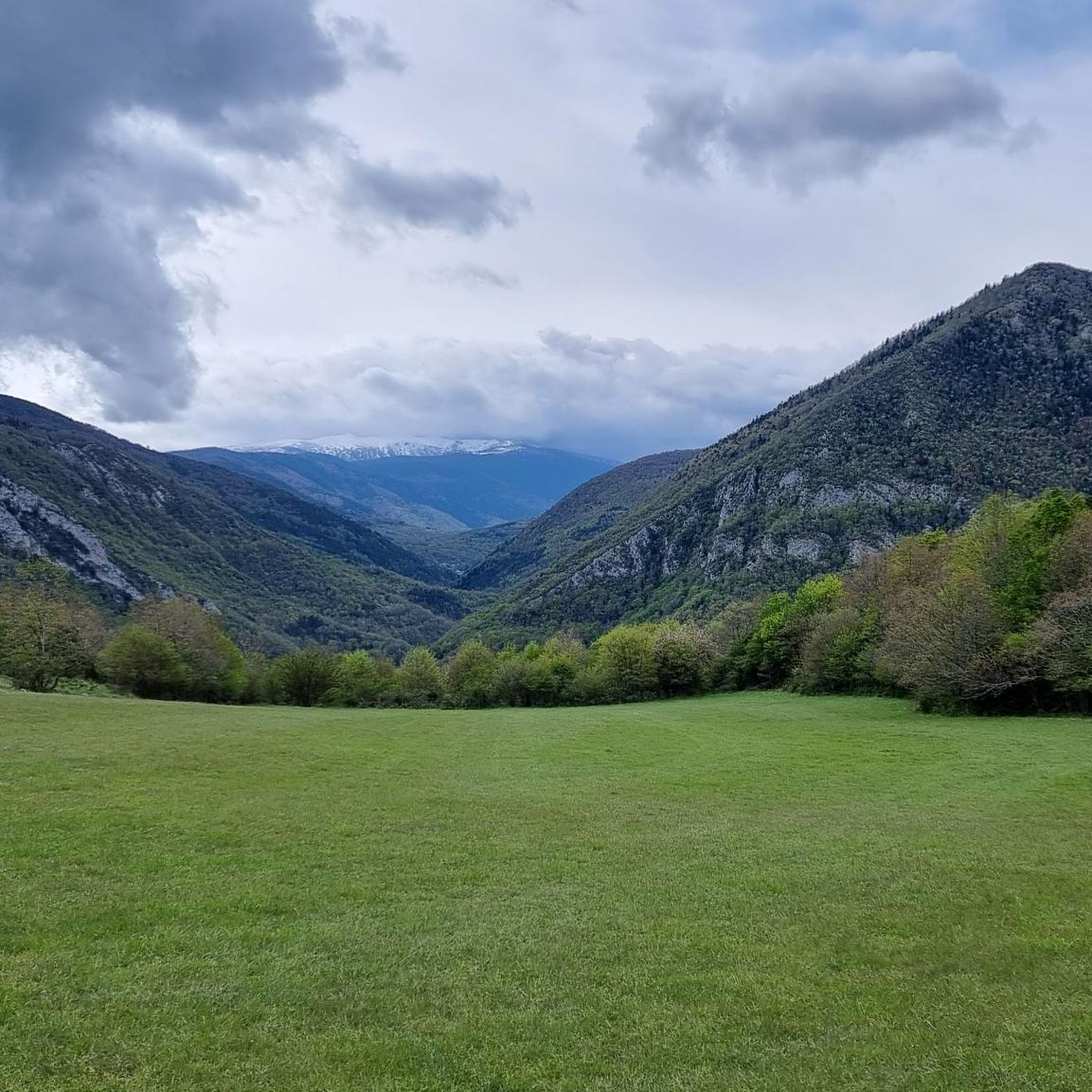
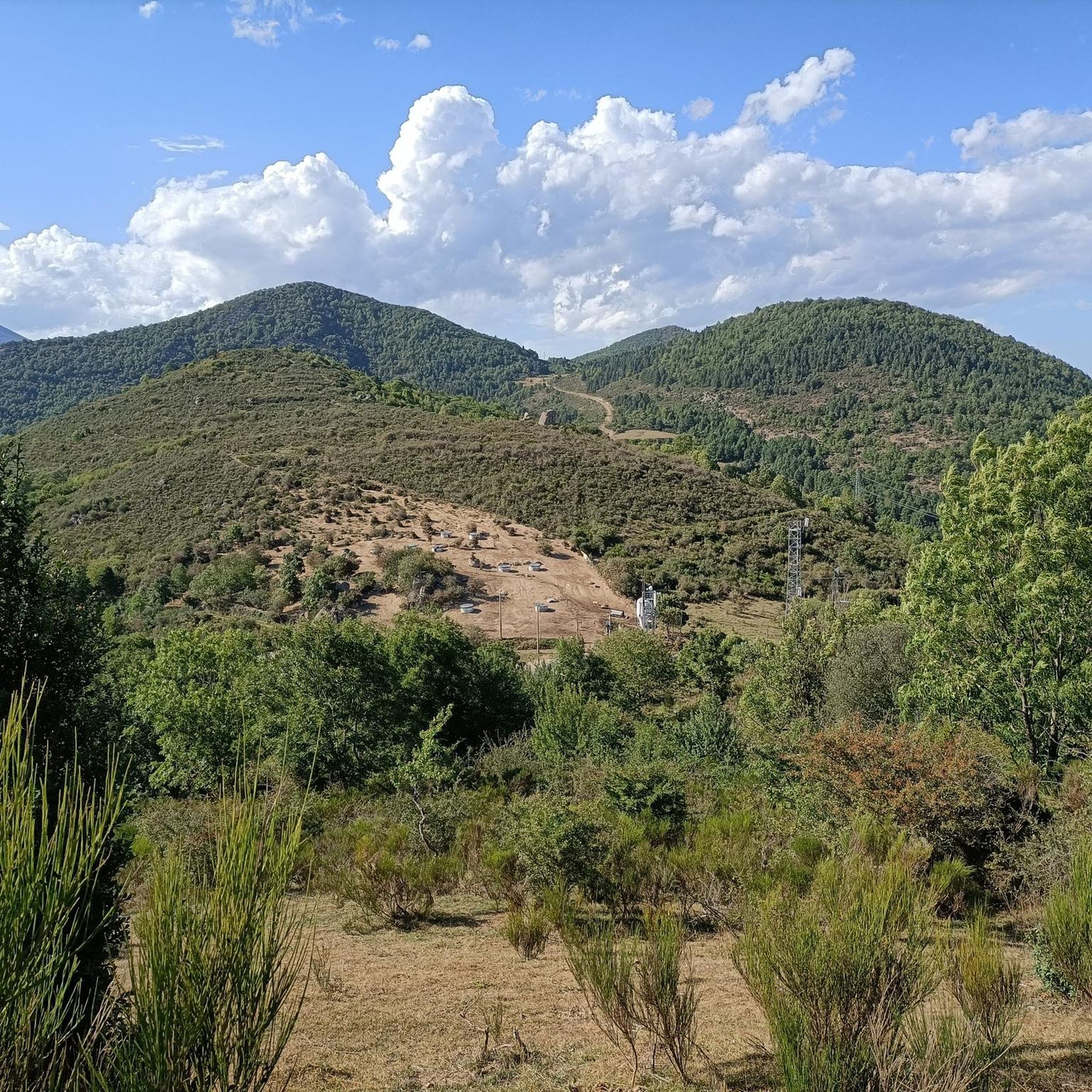
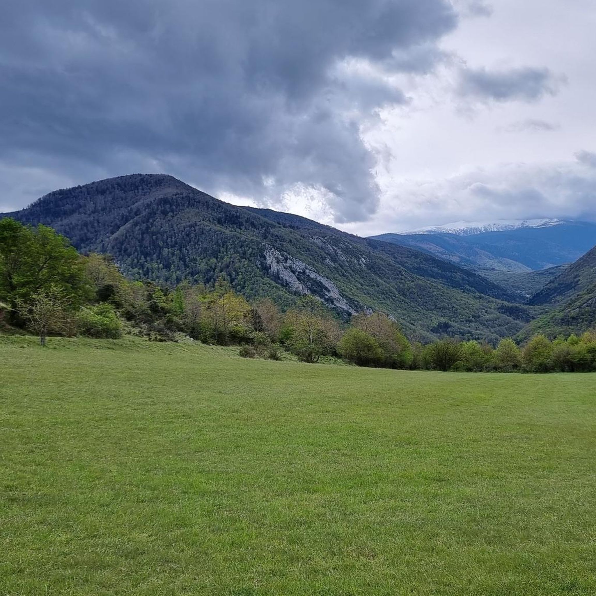
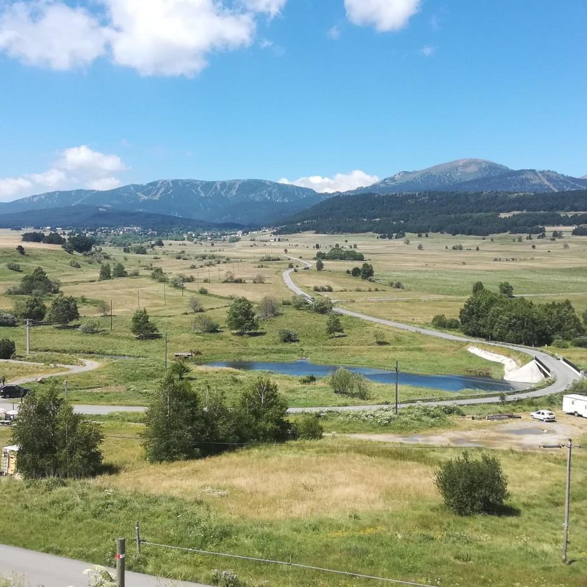
Hiking around Roquefort-De-Sault offers access to a mountainous landscape within the Pyrénées Audoises region, characterized by rugged terrain and peaks over 1,000 meters. The area features deeply carved valleys, significant forest massifs like Forêt de Navarre, and dramatic natural features such as the Gorges du Rébenty. Situated at an average altitude of 1,000 meters (3,300 feet), the region provides a diverse environment for outdoor activities.
Best hiking trails around Roquefort-De-Sault
- The most popular hiking route is Jau Pass – Peak Valley loop from Col de Jau, a 10.5 miles (16.9 km) trail that takes 5 hours 55 minutes to complete. This difficult route offers significant elevation gain through the Pyrenean environment.
- Another top favourite among local hikers is Jau Pass – Col de Jau loop from Col de Jau, a moderate 8.4 miles (13.6 km) path. This loop provides varied scenery around the Col de Jau.
- Local hikers also love the Axat Red Train Railway loop from Axat, a 3.9 miles (6.3 km) trail leading through varied landscapes, often completed in about 1 hour 51 minutes.
- Hiking around Roquefort-De-Sault is defined by mountainous terrain, deep gorges, and expansive forests. The network offers options for different ability levels, from easy walks to challenging ascents.
- The routes in Roquefort-De-Sault are highly rated by the komoot community with an average score of 4.3 stars from more than 160 reviews. More than 900 hikers have used komoot to explore Roquefort-De-Sault's varied terrain.
Last updated: July 4, 2026
5.0
(3)
77
hikers
16.9km
05:56
930m
930m
Hard hike. Very good fitness required. Easily-accessible paths. Suitable for all skill levels.
5.0
(4)
23
hikers
6.34km
01:51
170m
170m
Easy hike. Great for any fitness level. Easily-accessible paths. Suitable for all skill levels.

Sign up for free
5.0
(2)
8
hikers
18.3km
06:24
1,000m
1,000m
Hard hike. Very good fitness required. Easily-accessible paths. Suitable for all skill levels.
5.0
(1)
5
hikers
8.92km
02:41
280m
280m
Moderate hike. Good fitness required. Easily-accessible paths. Suitable for all skill levels.
4
hikers
9.03km
02:50
340m
340m
Moderate hike. Good fitness required. Mostly accessible paths. Sure-footedness required.
Get access to more routes and recommendations from other explorers.
Sign up for free
Already have an account?
Our route recommendations are based on thousands of hikes, rides, and runs completed by other people on komoot.
Start today with a free account
Your next adventure awaits.
Login or Signup

Tips from the Community

From Axat, it's a long climb, 18km. It's quite beautiful down in the gorges, then a few kilometers of fairly monotonous woods. Arriving on the plateau, it clears up but it's rural. The impressive view is worth it when you reach the pass. Going down there must be a blast, the tarmac is good, it's quite wide and there's little traffic. I went down via Escouloubre: the tarmac is bad, gravel, but the forest is enchanting! Why not go the other way, then, up via Escouloubre and down via Bousquet / Roquefort etc.?
1
0


above the forest of Lisser you will find a splendid starting point for walks
0
0

Beautiful Port from Campome. Continuous climb and with excellent views.
0
0

Beautiful climb with beautiful trees!
1
0

Nice pass. Upstream is a plateau where fresh winds tend to blow from the Atlantic. It goes up, past typical Pyrenean villages. Secluded, beautiful nature. Hardly any cars, hardly any motorcycles. Above view of the next challenge in the west: the Col de Pailhères!
2
0

The Prades route climbs from 357 m to 1513 m and poses no particular difficulties. In the lower area, rising gently, the slope in the last third sometimes rises to a little over 10%. Most of the time you drive across meadows and through sparse forest and only at the end it gets a little more curvy. The surface is fine, the pass height itself is a rather smooth transition and can hardly be called spectacular.
5
0
Frequently Asked Questions
How many hiking trails are available around Roquefort-De-Sault?
There are over 35 hiking routes in the Roquefort-De-Sault area, catering to various skill levels. You'll find a mix of easy, moderate, and challenging trails to explore the mountainous landscape of the Pyrénées Audoises.
What kind of natural features can I expect to see on hikes in Roquefort-De-Sault?
The region is rich in diverse natural features. You can explore deep gorges like the Gorges du Rébenty, impressive mountain passes such as Col du Garavel (1256 m) and Col de Jau, and extensive forest masses like the Forêt de Navarre. The rugged terrain also offers stunning viewpoints, such as the Belvédère du Diable – View of the Pierre-Lys Gorge.
Are there any easy hiking trails suitable for beginners or families?
Yes, Roquefort-De-Sault offers several easy trails. For a pleasant and accessible walk, consider the Axat Red Train Railway loop from Axat, which is 6.3 km long and takes about 1 hour 51 minutes to complete, leading through varied landscapes.
What are the options for challenging hikes in the area?
For experienced hikers seeking a challenge, the region provides several difficult routes. The Jau Pass – Peak Valley loop from Col de Jau is a demanding 16.9 km trail with significant elevation gain, typically taking around 5 hours 55 minutes. Another strenuous option is the Col de Jau – Roc Negre loop from Col de Jau, spanning 18.3 km.
Are there any circular hiking routes around Roquefort-De-Sault?
Many of the trails in the Roquefort-De-Sault area are circular, allowing you to start and end at the same point. Examples include the Jau Pass – Col de Jau loop from Col de Jau, a moderate 13.6 km path offering varied scenery, and the shorter Col de Jau – Pic Dourmidou loop from Col de Jau.
What is the best time of year to go hiking in Roquefort-De-Sault?
The diverse landscapes of Roquefort-De-Sault are enjoyable across multiple seasons. Spring and autumn offer pleasant temperatures and vibrant scenery, ideal for most hikes. Summer is also popular, especially for higher altitude trails where the air is cooler. Winter hiking is possible, particularly on lower elevation routes, but conditions can be challenging in the mountains due to snow and ice.
What do other hikers enjoy most about hiking in Roquefort-De-Sault?
The area is highly rated by the komoot community, with an average score of 4.3 stars from over 160 reviews. Hikers often praise the region's diverse and rugged mountainous terrain, the stunning natural features like the gorges and passes, and the sense of seclusion found on many trails.
Are there any historical or cultural points of interest along the trails?
Yes, the region has a rich history. While hiking, you might encounter remnants of the past, such as old lime kilns along paths like the 'Chemin Vieux'. The village of Roquefort-de-Sault itself retains the charm of old stones, hinting at its prestigious past, and some routes allow for detours to ancient sites like the Château de Roquefort and the church of Buillac.
Are there any places to stay overnight or take a break during longer hikes?
For longer treks, you might find mountain huts or refuges. The Refuge d'Oller is one such option, providing a place for rest and shelter in the natural environment.
What are the typical trail lengths and durations for hikes in Roquefort-De-Sault?
Trail lengths vary significantly, from shorter walks of around 6 km taking less than two hours, to challenging full-day excursions exceeding 18 km and requiring over six hours. The average duration for many popular routes falls between 2 to 5 hours, covering distances from 6 to 14 km.
Is Roquefort-De-Sault suitable for dog-friendly hikes?
Many trails in the Roquefort-De-Sault region are suitable for hiking with dogs, especially those through forests and open plateaus. However, it's always advisable to keep dogs on a leash, particularly in areas with livestock or protected wildlife, and to check specific trail regulations before you go.
Most popular attractions around Roquefort-De-Sault

Get inspired with the komoot mobile app


Explore more
Browse the best Hikes in other regions.
