The best walks and hikes around Montfort-Sur-Boulzane
4.3
(294)
1,505
hikers
69
hikes
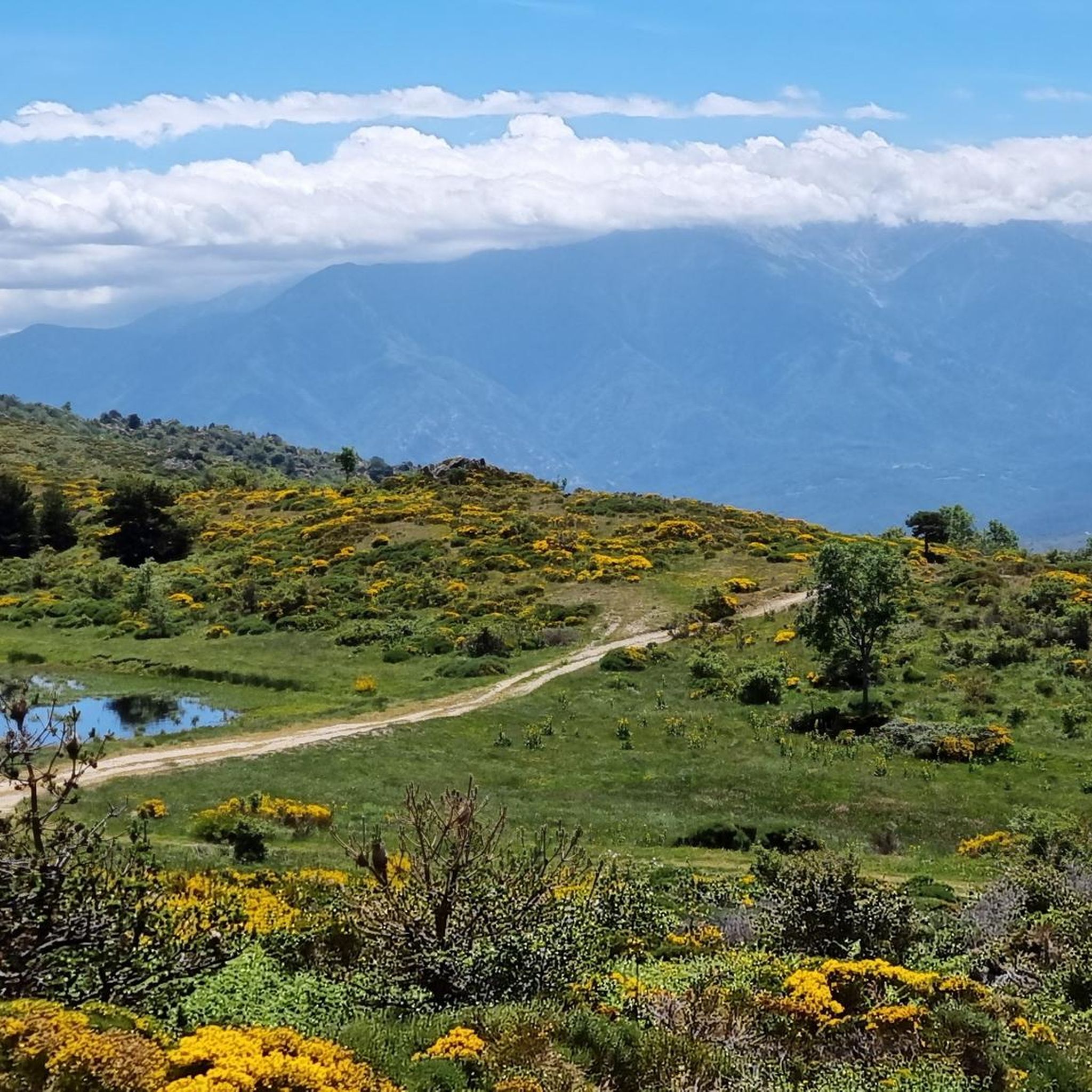
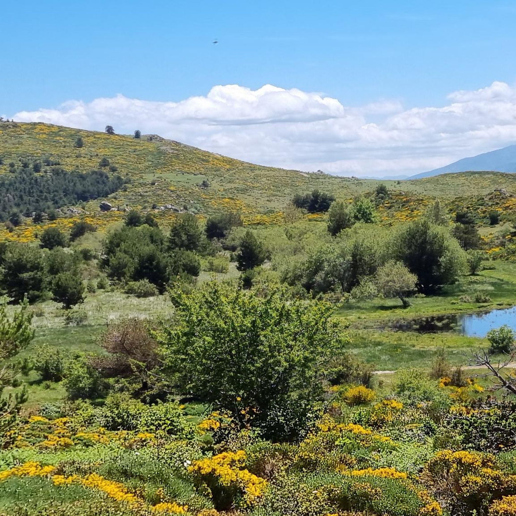
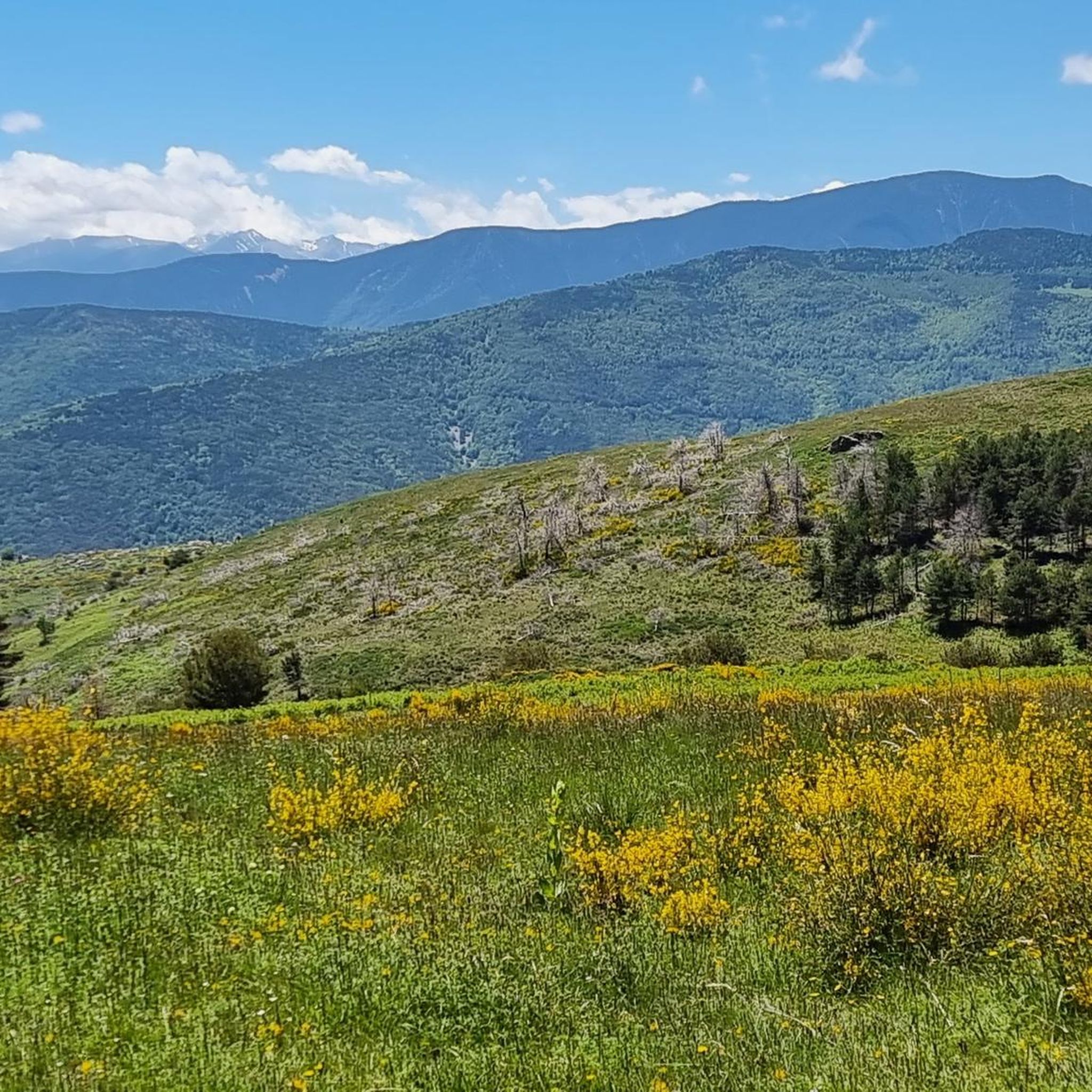
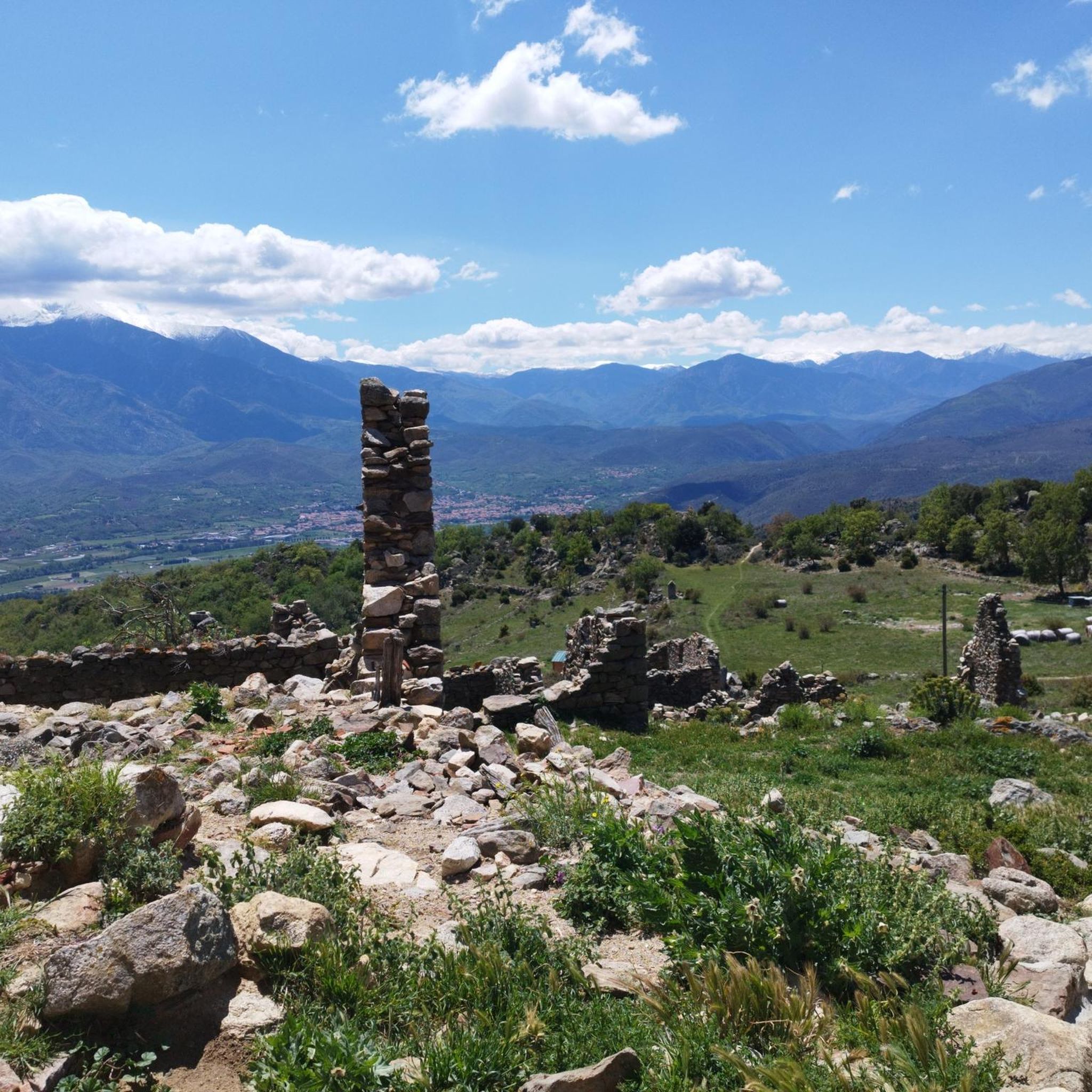
Hiking around Montfort-Sur-Boulzane offers access to the diverse and striking natural landscapes of the Pyrénées Audoises. The region is characterized by dramatic terrain, including spectacular gorges, majestic peaks, and varied forests. Numerous trails provide opportunities to explore unique geological formations and integrate with historical sites like Cathar castles.
Best hiking trails around Montfort-Sur-Boulzane
- The most popular hiking route is Jau Pass – Peak Valley loop from Col de Jau, a 10.5 miles (16.9 km) trail that takes 5 hours…
Last updated: July 4, 2026
5.0
(3)
77
hikers
16.9km
05:56
930m
930m
Hard hike. Very good fitness required. Easily-accessible paths. Suitable for all skill levels.
4.8
(11)
49
hikers
6.34km
02:09
330m
330m
Moderate hike. Good fitness required. Easily-accessible paths. Suitable for all skill levels.

Sign up for free
4.0
(2)
33
hikers
12.8km
04:36
650m
640m
Moderate hike. Good fitness required. Mostly accessible paths. Sure-footedness required.
5.0
(2)
8
hikers
18.3km
06:24
1,000m
1,000m
Hard hike. Very good fitness required. Easily-accessible paths. Suitable for all skill levels.
5
hikers
Hard hike. Very good fitness required. Easily-accessible paths. Suitable for all skill levels.
Get access to more routes and recommendations from other explorers.
Sign up for free
Already have an account?
Our route recommendations are based on thousands of hikes, rides, and runs completed by other people on komoot.
Start today with a free account
Your next adventure awaits.
Login or Signup

Tips from the Community


Easy at the beginning then covered trail great in summer
0
0

Lake Nohèdes, also called Gorg Estelat, is a magnificent lake at an altitude of 2,002 meters at the foot of the Pic de Madrès.
0
0

above the forest of Lisser you will find a splendid starting point for walks
0
0

Beautiful Port from Campome. Continuous climb and with excellent views.
0
0

The last part of the road leading to the start point is not sutable for all road cars. High ground clearance is a must!
0
0

Beautiful climb with beautiful trees!
1
0

The Prades route climbs from 357 m to 1513 m and poses no particular difficulties. In the lower area, rising gently, the slope in the last third sometimes rises to a little over 10%. Most of the time you drive across meadows and through sparse forest and only at the end it gets a little more curvy. The surface is fine, the pass height itself is a rather smooth transition and can hardly be called spectacular.
5
0
Frequently Asked Questions
How many hiking trails are available around Montfort-Sur-Boulzane?
There are over 70 hiking trails around Montfort-Sur-Boulzane, offering a wide range of options from easy strolls to challenging treks. The komoot community has explored more than 1500 of these routes, providing valuable insights and ratings.
What kind of terrain can I expect on hikes in Montfort-Sur-Boulzane?
The region around Montfort-Sur-Boulzane is characterized by the dramatic terrain of the Pyrénées Audoises, featuring spectacular gorges, majestic peaks, and varied forests. You'll encounter everything from mountainous passes like the Saint Louis Pass and Col de Jau, to deep canyons such as the Gorges du Rébenty, and expansive forests.
Are there any easy, family-friendly hikes in the area?
Yes, Montfort-Sur-Boulzane offers 20 easy hiking routes suitable for families. A great option is the 5 Senses Trail Summer Autumn loop from Rocamaura, which is a moderate 3.9 miles (6.3 km) path winding through varied landscapes and natural features, often enjoyed by those looking for a less strenuous experience.
What are some notable landmarks or viewpoints to see while hiking?
The region is rich with natural and historical landmarks. Hikers can explore dramatic mountain passes like Saint Louis Pass and Col du Garavel (1256 m), which offer spectacular views. The Gorges du Rébenty provide magnificent geological formations. Additionally, the nearby village of Mosset — Listed Village, with its ramparts and old castle remains, offers a glimpse into the past.
Are dogs allowed on the hiking trails around Montfort-Sur-Boulzane?
Generally, dogs are welcome on many trails in the Montfort-Sur-Boulzane area, especially in the vast natural landscapes. However, it's always advisable to keep them on a leash, particularly in protected areas or when passing through agricultural land, to respect wildlife and local regulations.
Are there any circular hiking routes available?
Yes, many of the trails around Montfort-Sur-Boulzane are circular, allowing you to start and end at the same point. For example, the Jau Pass – Col de Jau loop from Col de Jau is a popular moderate circular route covering 13.5 km. Another option is the Col de Jau – Pic Dourmidou loop from Col de Jau, a shorter moderate loop.
What is the best time of year to go hiking in Montfort-Sur-Boulzane?
The region is enjoyable for hiking throughout much of the year due to its varied terrain. Spring and autumn offer pleasant temperatures and vibrant scenery, with the 5 Senses Trail Summer Autumn loop from Rocamaura specifically highlighting these seasons. Summer is also popular, though some higher elevation routes might be more challenging due to heat. Winter can offer unique experiences, especially in the mountainous areas, but requires appropriate gear and caution.
What do other hikers enjoy most about hiking in Montfort-Sur-Boulzane?
The area is highly rated by the komoot community, with an average score of 4.3 stars from over 290 reviews. Hikers often praise the diverse and striking natural landscapes, the dramatic terrain of the Pyrénées Audoises, and the opportunities to explore unique geological formations and historical sites.
Are there any challenging hikes for experienced trekkers?
Absolutely. Montfort-Sur-Boulzane offers 11 difficult hiking routes for those seeking a challenge. The Jau Pass – Peak Valley loop from Col de Jau is a prime example, a 16.9 km (10.5 miles) trail with significant elevation gain that takes nearly 6 hours to complete, offering panoramic views and a demanding experience.
Is public transport available to reach hiking trailheads?
While Montfort-Sur-Boulzane is a more rural area, public transport options might be limited directly to all trailheads. It's recommended to check local bus schedules or consider driving to access the starting points of many hikes. Parking is generally available near popular trailheads and villages.
Are there any places to eat or stay in Montfort-Sur-Boulzane?
Montfort-Sur-Boulzane and its surrounding villages offer local amenities including cafes, restaurants, and accommodation options. These can provide a comfortable base for exploring the hiking trails and experiencing the local culture after a day on the paths.
Most popular attractions around Montfort-Sur-Boulzane

Get inspired with the komoot mobile app


Explore more
Browse the best Hikes in other regions.
