The best road cycling routes around Reims-La-Brûlée
4.2
(11)
1,255
riders
198
rides
Road cycling routes around Reims-La-Brûlée are primarily characterized by agricultural plains and river valleys, offering generally flat to gently rolling terrain. The region features a network of quiet country roads connecting small towns and villages. Elevation gains are typically modest, making it suitable for various fitness levels.
Best road cycling routes around Reims-La-Brûlée
- The most popular road cycling route is Hotel Tambourin – Crane Farm loop from Écriennes, a 33.4 miles (53.7 km) trail that takes 2 hours 7…
Last updated: July 7, 2026
19
riders
53.6km
02:07
140m
140m
Moderate road ride. Good fitness required. Some segments of this route may be unpaved and difficult to ride.
13
riders
37.3km
01:29
140m
140m
Moderate road ride. Great for any fitness level. Some segments of this route may be unpaved and difficult to ride.

Sign up for free
14
riders
Easy road ride. Great for any fitness level. Mostly well-paved surfaces and easy to ride.
5.0
(1)
5
riders
Moderate road ride. Good fitness required. Mostly well-paved surfaces and easy to ride.
6
riders
Moderate road ride. Good fitness required. Mostly well-paved surfaces and easy to ride.
Get access to more routes and recommendations from other explorers.
Sign up for free
Already have an account?
Our route recommendations are based on thousands of hikes, rides, and runs completed by other people on komoot.
Start today with a free account
Your next adventure awaits.
Login or Signup


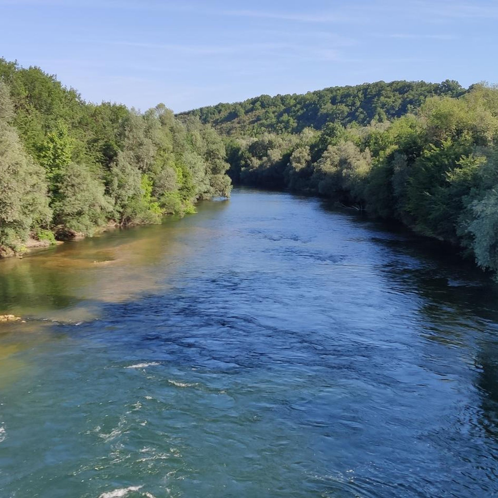

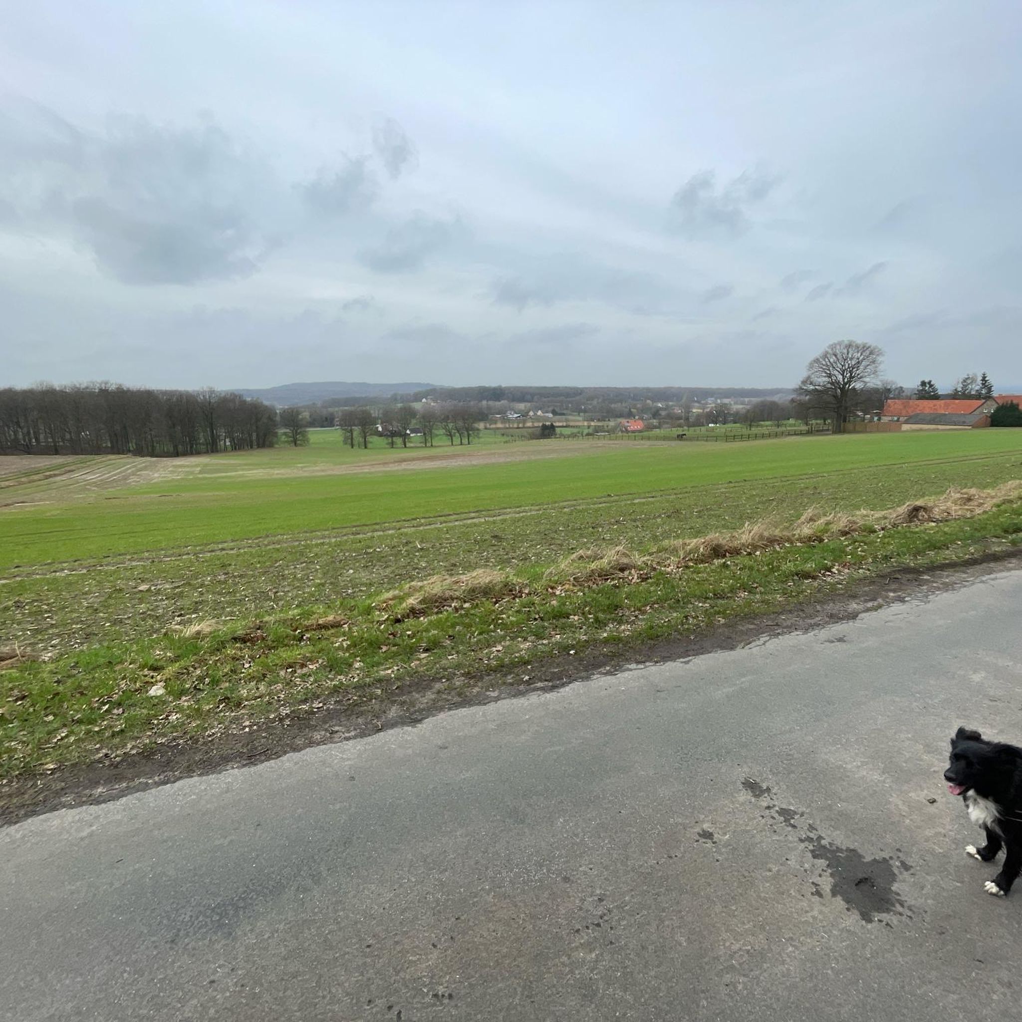
Tips from the Community

An engaging exhibition about the three former villages, with the project seeming relevant today, as people lost their homes in the past. It was very enlightening to learn more about the crafts and the people in the region. Exceptional exhibition!!!
3
0

The museum village is absolutely worth a visit. The video explains the history of the lake. The museum staff are extremely accommodating. So, don't miss it!
0
0


This small sandy beach is directly accessible from the cycle path. It is located in a cove, which makes swimming safe.
0
0
The Der Museum is open every day from 9:30 am to 7:00 pm. It traces the history of the lake and allows you to understand its functioning and its usefulness. You can also learn more about the historical and natural heritage of the Champagne countryside.
1
0
Great greenway along the canal with many spots for picnics and shaded breaks. The canal retains very natural banks, making cycling particularly pleasant.
0
0
Beautiful little sandy beach, not very crowded. Nice views of the lake.
2
0
Frequently Asked Questions
How many road cycling routes are available around Reims-La-Brûlée?
There are nearly 200 road cycling routes in the Reims-La-Brûlée area. These routes cater to various skill levels, with 65 easy, 126 moderate, and a few more challenging options.
What kind of terrain can I expect on road cycling routes in Reims-La-Brûlée?
The region is characterized by agricultural plains and river valleys, offering generally flat to gently rolling terrain. You'll find a network of quiet country roads connecting small towns and villages, with modest elevation gains.
Are there easy road cycling routes suitable for beginners or families?
Yes, Reims-La-Brûlée offers 65 easy road cycling routes. A great option for a relaxed ride is the Saint John the Baptist Church – Campsite beach loop from Vitry-le-François, an easy 30.3-mile (48.8 km) path that offers scenic views.
What are some longer road cycling routes for experienced riders?
For those seeking longer distances, the Stadttor Vitry-le-François – Pargny-sur-Saulx Town Hall loop from Vitry-le-François covers 95.1 miles (153 km) with moderate difficulty. Another substantial option is the Stadttor Vitry-le-François – Auf dem Platz des armes loop from Vitry-le-François, which is 51.9 miles (83.4 km).
What is the best time of year for road cycling in Reims-La-Brûlée?
While specific weather conditions vary, the generally flat terrain and quiet country roads make the region enjoyable for road cycling from spring through autumn. Summers are typically pleasant, and spring and fall offer milder temperatures and beautiful scenery.
Are there any circular road cycling routes in the area?
Many routes in Reims-La-Brûlée are designed as loops. For example, the popular Hotel Tambourin – Crane Farm loop from Écriennes is a 33.4-mile (53.7 km) moderate loop, and the Auf dem Platz des armes – Stadttor Vitry-le-François loop from Écriennes is an easy 30.2-mile (48.6 km) option.
What kind of scenic viewpoints or attractions can I find along the routes?
Road cycling routes often pass through picturesque agricultural landscapes and along river valleys. You might encounter historical sites like the Place d'Armes of Vitry-le-François or the Porte du Pont in Châlons-en-Champagne. The Cycle path along the Canal latéral à la Marne also offers pleasant views.
What do other road cyclists say about the routes in Reims-La-Brûlée?
The road cycling routes in Reims-La-Brûlée are highly rated by the komoot community, with an average score of 4.2 stars from 9 reviews. Cyclists often appreciate the quiet country roads and the generally flat, accessible terrain.
Are there options for road cycling near canals or rivers?
Yes, the region features river valleys and canals. You can find routes that follow the Canal latéral à la Marne, offering flat and scenic paths. The Canal aqueduct over the Marne is also a notable feature in the area.
What are the typical durations for road cycling tours in this region?
Tour durations vary widely depending on the route and your pace. Easy routes like the Saint John the Baptist Church – Campsite beach loop can take around 2 hours, while longer moderate routes such as the Stadttor Vitry-le-François – Auf dem Platz des armes loop might take approximately 3 hours 30 minutes.
Is parking generally available near the starting points of road cycling routes?
While specific parking information for each route varies, many routes start from towns and villages like Vitry-le-François or Écriennes, where public parking is typically available. It's advisable to check the individual route details on komoot for specific parking recommendations.
Most popular routes around Reims-La-Brûlée
Most popular attractions around Reims-La-Brûlée

Get inspired with the komoot mobile app


Explore more
Browse the best Road cycling routes in other regions.
