The best running trails around Meura
4.2
(51)
603
runners
53
runs
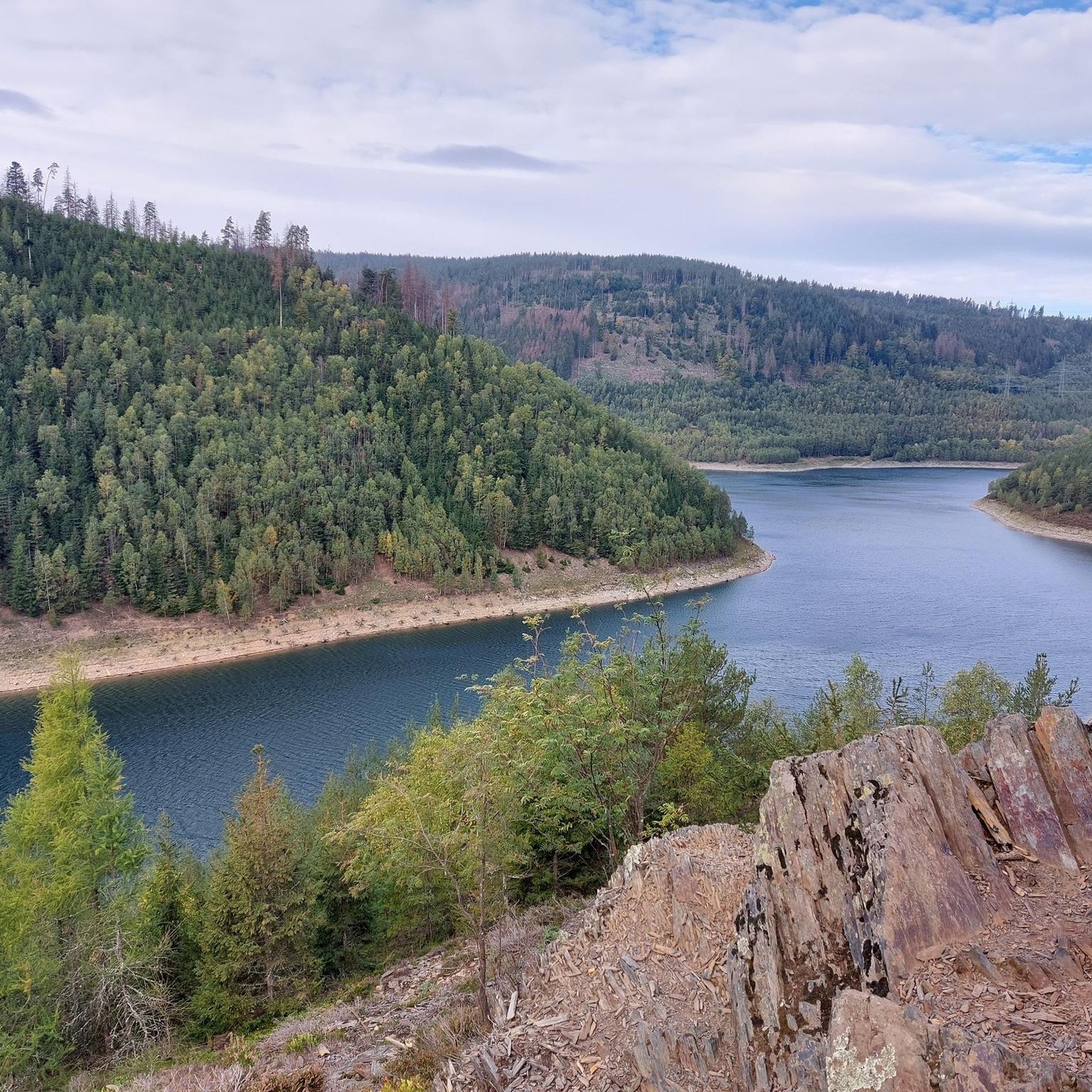
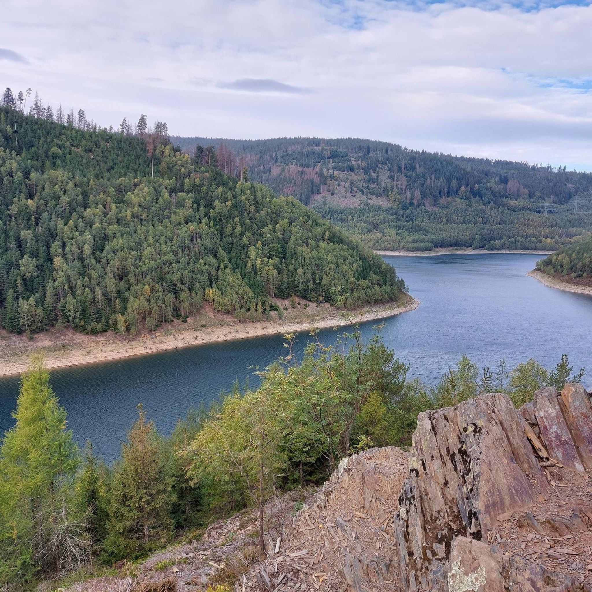
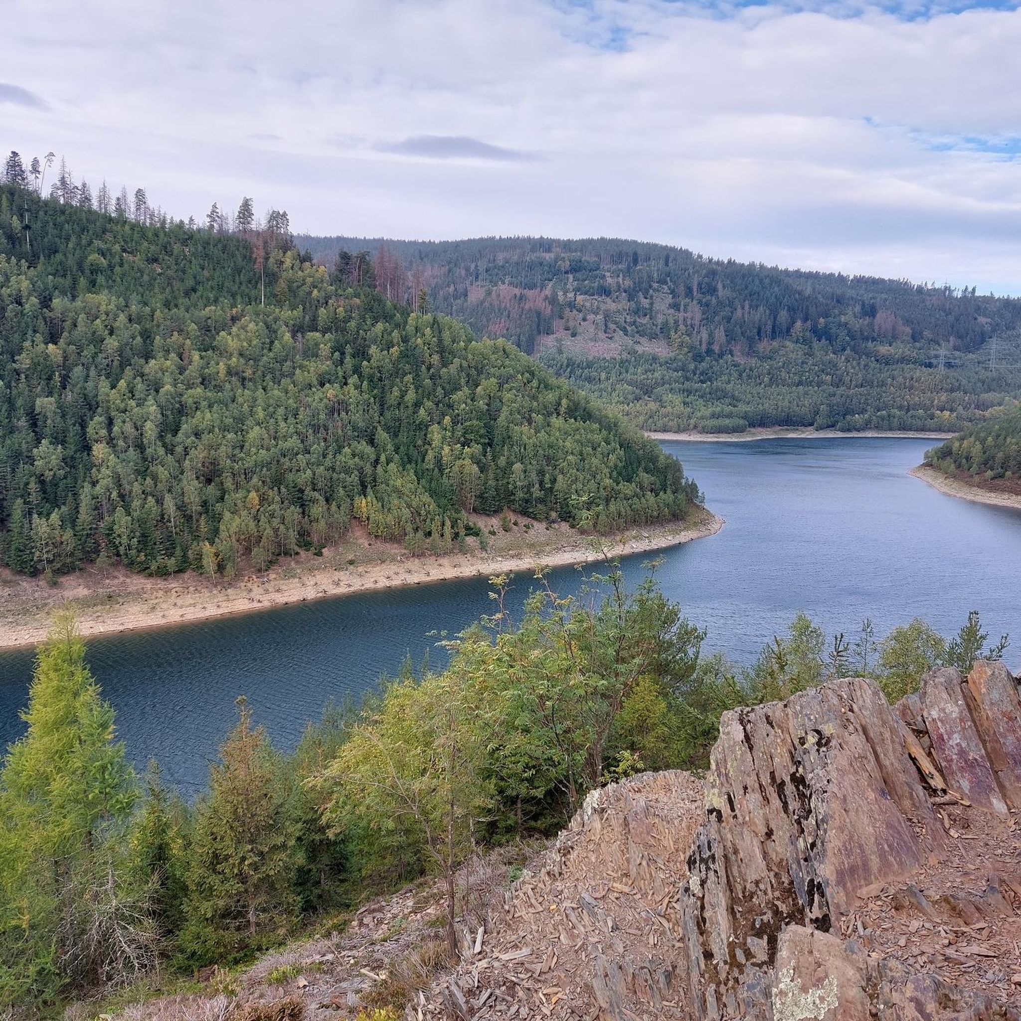
Jogging routes around Meura are situated within the Thuringian Forest, characterized by elevations typically ranging between 500 and 700 meters. This region offers a varied terrain suitable for active exploration. The landscape features prominent rock formations like the Meurasteine, expansive heathlands, and views of the Leibis-Lichte drinking water reservoir. Many paths in the area, including those near the Haflinger stud farm, provide suitable conditions for running.
Best jogging routes around Meura
- The most popular jogging route is Running loop from…
Last updated: June 25, 2026
5.0
(1)
40
runners
Hard run. Very good fitness required. Sure-footedness, sturdy shoes and alpine experience required.
5.0
(1)
37
runners
Hard run. Very good fitness required. Mostly paved surfaces. Suitable for all skill levels.

Sign up for free
5.0
(5)
15
runners
6.08km
00:38
50m
50m
Moderate run. Good fitness required. Mostly paved surfaces. Suitable for all skill levels.
5.0
(1)
4
runners
7.19km
00:49
160m
160m
Moderate run. Good fitness required. Mostly paved surfaces. Suitable for all skill levels.
5.0
(2)
5
runners
9.77km
01:08
220m
220m
Moderate run. Good fitness required. Mostly paved surfaces. Suitable for all skill levels.
Get access to more routes and recommendations from other explorers.
Sign up for free
Already have an account?
Our route recommendations are based on thousands of hikes, rides, and runs completed by other people on komoot.
Start today with a free account
Your next adventure awaits.
Login or Signup

Other adventures around Meura

Tips from the Community

A dreamlike beautiful view 🥰
0
0

Very beautiful view of the reservoir, worth a stop.
0
0
Small, nicely laid out playground in the shade.
0
0
From up here you have a good view of Unterweißbach.
0
0
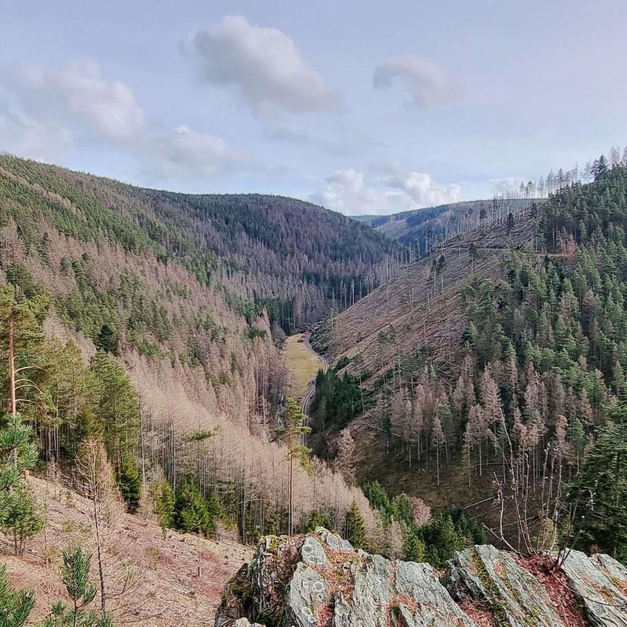
Wonderful view into the valley, it is worth a stop.
1
0

A very nice place to rest, and definitely worth a photo.
0
0

Small shelter with a great view.
0
0

Small shelter and a great view 🫶
0
0
Frequently Asked Questions
How many running routes are available around Meura?
There are over 50 running routes around Meura, offering a wide range of options for different fitness levels. This includes 6 easy routes, 30 moderate routes, and 20 difficult routes, ensuring there's something for everyone.
What kind of terrain can I expect on jogging trails in Meura?
Jogging routes in Meura are primarily situated within the Thuringian Forest, featuring varied terrain with elevations typically ranging between 500 and 700 meters. You can expect paths through forests, heathlands, and sometimes near prominent rock formations like the Meurasteine. Many routes offer scenic views of the surrounding landscape, including the Leibis-Lichte drinking water reservoir.
Are there any easy jogging routes suitable for beginners in Meura?
Yes, Meura offers 6 easy jogging routes perfect for beginners or those looking for a lighter run. These trails provide a gentle introduction to the region's natural beauty without overly challenging terrain.
What is the best time of year for running in Meura?
The Thuringian Forest around Meura is beautiful year-round. Spring and autumn offer pleasant temperatures and vibrant scenery, while summer provides lush green landscapes. Winter running is also possible, but be prepared for potentially snowy or muddy conditions, especially on unpaved trails.
Are there any scenic viewpoints or natural landmarks along the running paths in Meura?
Absolutely! Many routes offer stunning views. You can find trails that pass by the unique Meurasteine Rock Formation, or provide vistas from spots like the Meuselbacher Kuppe Observation Tower or the Barigauer Turm Observation Tower. The Leibis-Lichte drinking water reservoir also offers picturesque views along its circular routes.
Can I find routes that pass by waterfalls or rivers in the Meura area?
Yes, the region around Meura features beautiful water elements. You can explore routes that lead to the Schwarza Waterfall in the Schwarza Valley, or run alongside the Schwarza River. The Chrysoprase Weir is another notable water feature you might encounter.
Are there family-friendly jogging routes in Meura?
For families or those seeking a lighter, more engaging jog, the 'Fairytale Hiking Trail' is a shorter circular route through the forest designed to interact playfully with nature. Many of the easy and moderate routes are also suitable for families.
Are there circular running routes available in Meura?
Yes, Meura offers numerous circular running routes. A notable option is the 'Nature Park Path Meurasteine', which leads through the Meura heath and past the Haflinger stud farm. The Talsperre Leibis-Lichte loop from Deesbach is another popular circular route around the reservoir.
What are some longer, more challenging running options near Meura?
For a more challenging experience, you can explore the 20 difficult routes available. Meura also provides several entry points to the 'Rennsteig', Germany's oldest long-distance hiking trail, which stretches over 170 kilometers. This offers extensive and varied terrain for longer, more demanding runs. A challenging option is the Running loop from Unterweißbach, which is 19.9 km long.
Are there jogging routes that offer views of the Haflinger stud farm?
Yes, the region's unique rural charm includes Europe's largest stud farm for Haflinger horses. Routes like the 'Nature Park Path Meurasteine' often pass through or near the stud farm, allowing joggers to enjoy views of these beautiful animals and the surrounding landscape.
Is parking available near the jogging trailheads in Meura?
While specific parking details vary by trailhead, many popular starting points for hiking and jogging routes in Meura and the surrounding villages offer designated parking areas. It's advisable to check local signage upon arrival.
Can I access jogging routes in Meura using public transport?
Meura and its surrounding areas have some public transport connections. While direct access to every trailhead might require a short walk, key areas and Rennsteig access points are often reachable by local buses. Checking local bus schedules is recommended for planning your trip.
Are there places to eat or stay near the running trails in Meura?
Meura and nearby villages offer various options for refreshments and accommodation. You can find cafes, pubs, and guesthouses to relax and refuel after your run. For example, the Spechtsbrunn Nature Park Information Center offers snacks and is located near some trails.
What do other runners say about the jogging routes in Meura?
The jogging routes in Meura are highly rated by the komoot community, with an average score of 4.2 stars from over 40 reviews. More than 500 runners have used komoot to explore Meura's varied terrain, often praising the scenic views, diverse landscapes, and the tranquility of the Thuringian Forest.
Most popular attractions around Meura

Get inspired with the komoot mobile app


Explore more
Browse the best Running Trails & Routes in other regions.
