The best running trails around Saint-Mard
3.5
(12)
595
runners
88
runs
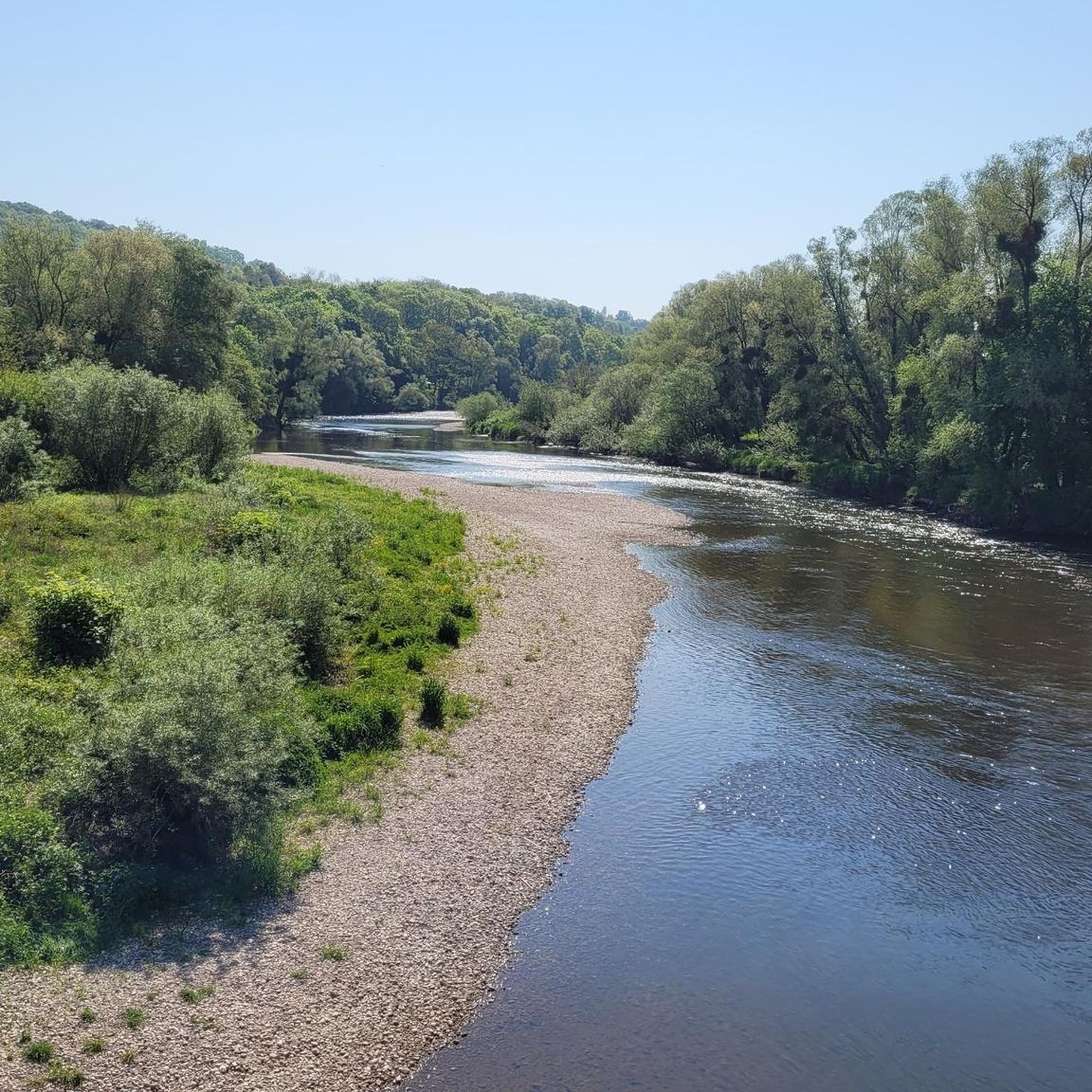
Jogging around Saint-Mard offers a variety of routes through diverse natural landscapes. The region is characterized by tranquil canal-side paths, particularly along the Canal de L'Ourcq, providing scenic and level terrain. Runners can also explore wooded areas, primarily composed of oak, beech, and Scots pine, which offer varied surfaces and natural beauty. Additionally, rural and riverside settings, such as those near the Canal de l'Oise à l'Aisne and the Ailette river, provide serene paths through the countryside.
Best jogging routes…
Last updated: May 23, 2026
28
runners
15.2km
01:34
20m
20m
Hard run. Very good fitness required. Mostly paved surfaces. Suitable for all skill levels.
4.0
(1)
24
runners
9.88km
01:08
10m
10m
Moderate run. Good fitness required. Mostly paved surfaces. Suitable for all skill levels.

Sign up for free
11
runners
11.7km
01:13
40m
40m
Moderate run. Good fitness required. Mostly paved surfaces. Suitable for all skill levels.
4.0
(1)
8
runners
6.21km
00:41
20m
20m
Moderate run. Good fitness required. Mostly paved surfaces. Suitable for all skill levels.
10
runners
9.67km
01:01
60m
60m
Moderate run. Good fitness required. Mostly paved surfaces. Suitable for all skill levels.
Get access to more routes and recommendations from other explorers.
Sign up for free
Already have an account?
Our route recommendations are based on thousands of hikes, rides, and runs completed by other people on komoot.
Start today with a free account
Your next adventure awaits.
Login or Signup



Tips from the Community


Lock on the Canal des Vosges near Crévéchamps https://canalplan.uk/place/w4v9
2
0

Located along 'the green cycle path' which follows the Canal des Voges and the Moselle
1
0

These municipal ponds are used for fishing. The place is quiet and shady, ideal for a break. Educational panels installed along the ponds reveal part of the local history.
6
0

Magnificent course, well shaded in summer. Attention, it is Roville in front of Bayon
4
0

route along the canal easy and very pleasant
4
0
Frequently Asked Questions
How many running routes are available in Saint-Mard?
Saint-Mard offers a wide selection of running routes, with over 70 trails to explore. These include 2 easy routes, 64 moderate routes, and 10 challenging options, catering to various fitness levels and preferences.
What do other runners enjoy most about jogging in Saint-Mard?
The komoot community highly rates the running experience in Saint-Mard, with an average score of 3.7 stars. Runners particularly appreciate the tranquil canal-side paths, diverse forests, and rural riverside settings that define the region's trails.
Are there any family-friendly jogging routes in Saint-Mard?
Yes, Saint-Mard has several routes suitable for families. The flat, well-maintained paths along the Canal de l'Ourcq are an excellent choice for a relaxed run with children. For a slightly longer, moderate option, consider the Ponds of the Saussaie de Bayon loop from Bayon, which offers pleasant scenery through a landscape of ponds.
Can I bring my dog on the running trails in Saint-Mard?
Many of Saint-Mard's natural trails are dog-friendly, especially those through forests and along canal banks. It's always best to keep your dog on a leash and ensure you follow local regulations regarding pets in natural areas. The extensive paths along the Canal de l'Ourcq or the wooded sections of the region are generally good options for running with your canine companion.
What kind of terrain can I expect on the running routes around Saint-Mard?
You'll find a varied terrain in Saint-Mard. The Canal de l'Ourcq offers extensive, flat, and well-maintained paths, perfect for speed work or leisurely runs. Other routes, particularly in the broader Seine-et-Marne region, feature trails through lush forests, cultivated plains, and even some routes with significant elevation changes, such as those near Montgé, Monthyon, and Montassis hilltops. In the Belgian Saint-Mard, you might encounter dirt forest tracks and some steep climbs in wooded areas like the Bois de Côte.
Are there any circular jogging routes in Saint-Mard?
Yes, many routes in Saint-Mard are designed as loops, offering a convenient way to start and finish at the same point. A popular moderate circular route is the Between ponds and the Moselle – Ponds of the Saussaie de Bayon loop from Bayon, which covers 8 km and takes about 55 minutes.
What are some scenic points of interest I might see while running in Saint-Mard?
While jogging in Saint-Mard, you can enjoy various natural and historical sights. The region offers picturesque canal-side views, especially along the Canal de l'Ourcq. You might also encounter charming rural landscapes and serene pond areas, such as the Ponds of the Saussaie de Bayon. For historical interest, the Haroué Castle is a notable landmark in the vicinity.
Are there any routes with significant elevation changes for a more challenging run?
For those seeking a more challenging run with elevation, routes in the broader Seine-et-Marne region can offer this, particularly those that venture into forested areas or near hilltops like Montgé. The Château de Froville loop from Bayon, for instance, includes over 170 meters of ascent, providing a good workout.
Where can I find parking for running routes in Saint-Mard?
Parking is generally available near popular trailheads and recreational areas in Saint-Mard. For routes along the Canal de l'Ourcq, you can often find parking in nearby towns or designated spots. For specific routes like those starting from Bayon, parking is typically accessible at the start point. Always check local signage for parking regulations.
Are there any running routes accessible by public transport in Saint-Mard?
In Saint-Mard, France, the Canal de l'Ourcq paths are known for their accessibility, including via public transport from areas like Paris. For specific trailheads, it's advisable to check local bus or train schedules to see which stops are closest to your desired starting point. The region's focus on outdoor activities often means trailheads are reasonably well-connected.
What is the best time of year for running in Saint-Mard?
Saint-Mard offers enjoyable running conditions throughout much of the year. Spring and autumn provide pleasant temperatures and beautiful scenery, with changing foliage in the forests. Summer is also popular, especially for early morning or late evening runs to avoid the midday heat. Winter running is possible, particularly on well-maintained paths, but be mindful of colder temperatures and potential icy conditions.
Are there any long-distance running options in Saint-Mard?
Yes, Saint-Mard provides options for longer runs. The Canal de l'Ourcq offers extensive, flat paths that stretch for several kilometers, allowing for extended distances. For a structured longer route, the Running loop from Crévéchamps is a 11.7 km trail through rural surroundings, taking about 1 hour and 13 minutes to complete.
Most popular attractions around Saint-Mard

Get inspired with the komoot mobile app


Explore more
Browse the best Running Trails & Routes in other regions.
