The best walks and hikes around Santa-Lucia-Di-Mercurio
4.4
(1796)
8,789
hikers
122
hikes
Hiking around Santa-Lucia-Di-Mercurio offers access to Corsica's diverse natural landscapes, characterized by mountainous terrain, river valleys, and dense forests. The commune is situated near the Parc Naturel Régional de Corse, providing a setting for various outdoor activities. Hikers can explore picturesque gorges, discover mountain lakes, and traverse paths with significant elevation changes. This region provides a range of trails suitable for different experience levels.
Best hiking trails around Santa-Lucia-Di-Mercurio
- The most popular hiking route is Wonderful views – Tavignano River loop from Corte, a 4.4 miles (7.0 km) trail that takes about 2 hours 9 minutes to complete. This route offers views of the Tavignano River and surrounding landscapes.
- Another top favourite among local hikers is Restonica Swimming Spot – Restonica Valley loop from Corte, a moderate 8.7 miles (13.9 km) path. It leads through the Restonica Valley, known for its gorges and opportunities for swimming.
- Local hikers also love the Views on Santa Lucia di Mercurio – Picturesque path loop from Tralonca, a 6.3 miles (10.1 km) trail leading through varied terrain, often completed in about 2 hours 52 minutes.
- Hiking around Santa-Lucia-Di-Mercurio is defined by river valleys, mountain lakes, and historical sites like the Chapel of Santa Servanda. The network offers options for different ability levels, from easy walks to more demanding mountain treks.
- The routes in Santa-Lucia-Di-Mercurio are highly rated by the komoot community with an average score of 4.4 stars from over 2200 reviews. More than 11000 hikers have used komoot to explore Santa-Lucia-Di-Mercurio's varied terrain.
Last updated: June 28, 2026
4.5
(47)
230
hikers
8.17km
03:20
470m
470m
Hard hike. Good fitness required. Sure-footedness, sturdy shoes and alpine experience required.
4.5
(42)
183
hikers
13.9km
04:04
350m
350m
Moderate hike. Good fitness required. Easily-accessible paths. Suitable for all skill levels.

Sign up for free
4.7
(23)
202
hikers
3.92km
01:08
90m
90m
Easy hike. Great for any fitness level. Easily-accessible paths. Suitable for all skill levels.
4.8
(38)
103
hikers
10.1km
02:52
210m
210m
Moderate hike. Good fitness required. Easily-accessible paths. Suitable for all skill levels.
4.5
(19)
122
hikers
9.21km
03:27
490m
490m
Moderate hike. Good fitness required. Mostly accessible paths. Sure-footedness required.
Get access to more routes and recommendations from other explorers.
Sign up for free
Already have an account?
Our route recommendations are based on thousands of hikes, rides, and runs completed by other people on komoot.
Start today with a free account
Your next adventure awaits.
Login or Signup
Other adventures around Santa-Lucia-Di-Mercurio

Tips from the Community

The primary bridge is still closed, however there is another temporary one under
1
0
This bridge is currently closed. It is to be renovated. At least now in April, the Restonica is not crossable. It carries too much water.
1
0


A beautiful hike that allows you to explore the entire Corte region and the Corsican mountain range https://youtu.be/S0XkZxv8kCc?si=pjbOQKbNNXfmZFSB
1
0
Great view of the Restonica Valley
0
0
A very steep path from the Restonica Valley. Easily doable, but avoid in damp or wet conditions. Danger of slipping!
0
0

Corte is a **historic town** in the heart of **Corsica**, known for its impressive location and rich history. Here are some interesting facts about Corte: 1. **Geographical Location**: Corte lies on a high plateau at an altitude of **436 m** at the confluence of the **Restonica** and **Tavignano** rivers. This central location makes it an ideal starting point for exploring Corsica's natural beauty. 2. **Historical Significance**: The town was once the **capital of independent Corsica** and plays a central role in the island's history. It is a symbol of the **national pride** of the Corsicans and was an important location during the independence movements. 3. **Cultural Life**: Corte is also known for its **student life**, as the **University of Corsica** is located here. This gives the town a lively atmosphere and attracts many young people. 4. **Sights**: The main attractions include the **Citadel of Corte**, which offers breathtaking views of the surrounding area, as well as the picturesque **old town**, which invites you to stroll through its narrow streets and historic buildings. 5. **Population**: Corte has approximately **7,737 inhabitants** (as of January 1, 2022), giving it a charming, manageable size. Corte is therefore not only a place steeped in history, but also a vibrant part of Corsican culture.
0
0
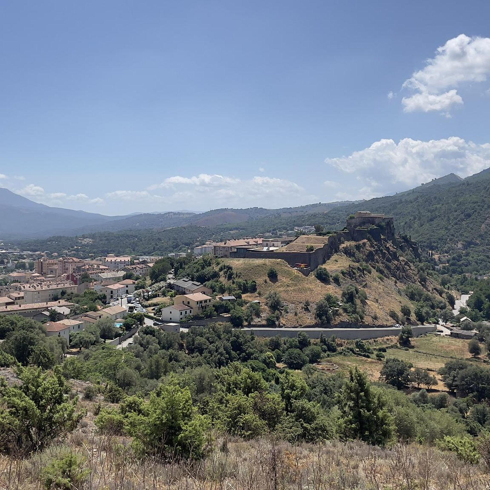
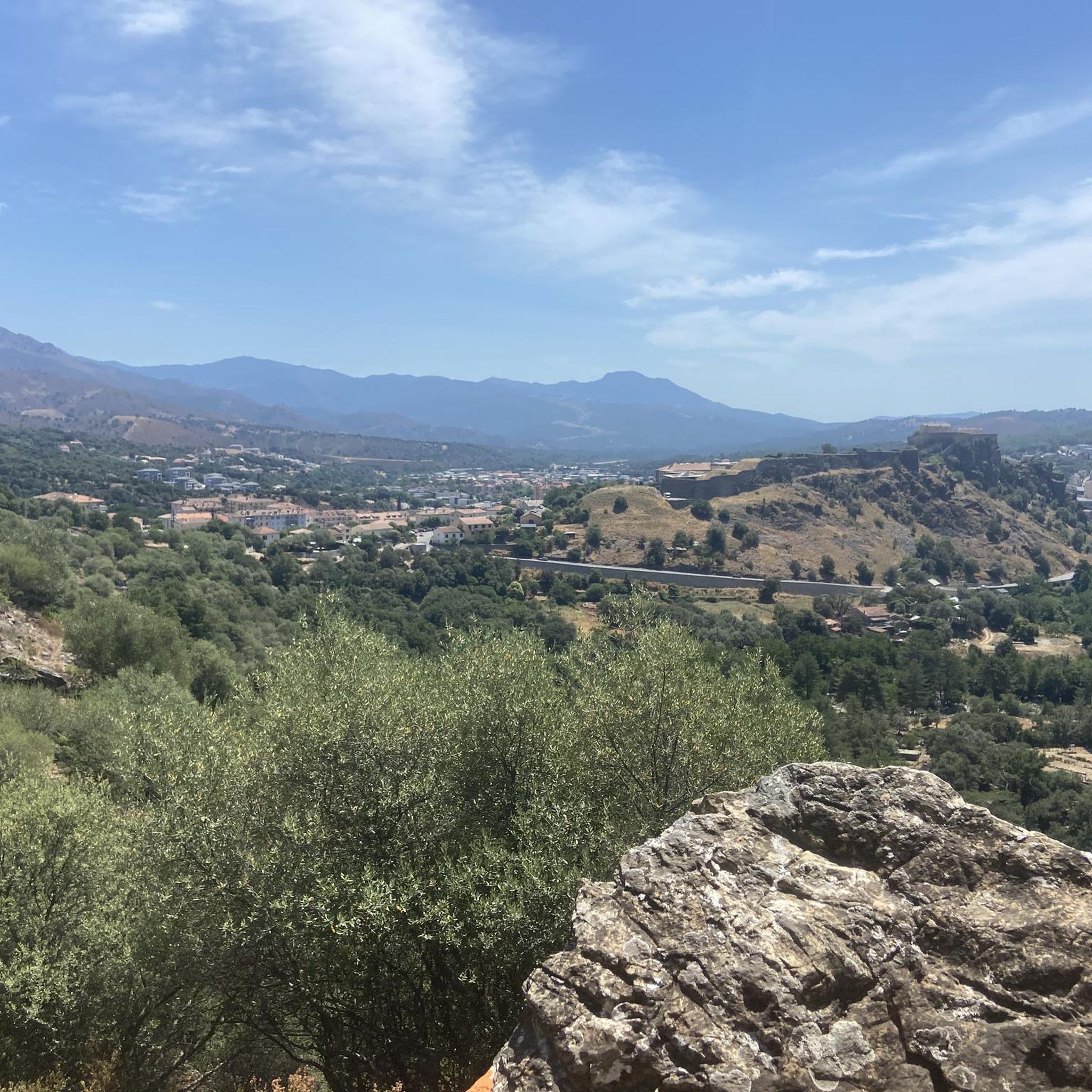
The Belvedere of Corte is a viewpoint near the Corsican town of Corte, offering breathtaking views of the Citadel of Corte and the surrounding Restonica Valley. From this elevated position, you can admire the beauty of the Corsican landscape in all its glory. **View:** The panoramic view includes the historic citadel, which rises majestically on a hill, as well as the verdant, river-laced Restonica Valley. On clear days, the view extends far beyond the town, and you can explore the vastness of the Corsican landscape. **Access:** The Belvedere is relatively easy to access. There are several paths leading to the viewpoint, some of which are well-maintained and suitable for walkers. The hike there is a beautiful nature outing in itself. **Activities:** In addition to simply enjoying the view, the Belvedere is an ideal spot for photography. The breathtaking landscape offers countless opportunities for impressive photos. It's also a perfect spot for a relaxing picnic. It's advisable to bring weatherproof clothing, as the weather can change quickly in the mountains. **Additional Information:** There is no direct parking near the Belvedere; you'll need to park a little further away and take a short walk. The surrounding area is beautiful and offers further opportunities for hiking and exploring nature. The best time to visit is on a clear day to fully enjoy the view.
2
0
Frequently Asked Questions
What kind of hiking terrain can I expect around Santa-Lucia-Di-Mercurio?
The region offers a diverse range of terrain, from picturesque river gorges and valleys to more challenging mountain paths. You'll find trails traversing dense forests, leading to stunning mountain lakes, and offering panoramic views of the Corsican landscape. The area is part of the Parc Naturel Régional de Corse, known for its rugged beauty and varied ecosystems.
How many hiking trails are available in the Santa-Lucia-Di-Mercurio area?
There are over 120 hiking routes around Santa-Lucia-Di-Mercurio. These include a good mix of difficulty levels, with approximately 40 easy routes, 45 moderate routes, and 35 more challenging trails, ensuring options for various fitness levels.
Are there any easy or family-friendly hiking options near Santa-Lucia-Di-Mercurio?
Yes, there are numerous easy trails suitable for families. For instance, the Belvedere of Corte – Corte Citadel loop from Corte is an easy option that takes you through historical sites. The Restonica Valley also offers easier, shorter walks along the river, perfect for a relaxed outing.
What natural attractions or landmarks can I see while hiking?
The region is rich in natural beauty. You can explore the stunning Restonica Valley and its gorges, discover mountain lakes like Lac de Melo and Lac de Nino, or visit refreshing spots like the Struccia Waterfall or the Manganello River Cascade. For historical views, the ruins of the 10th-century Chapel of Santa Servanda offer superb circular vistas.
Are there any circular hiking routes in the area?
Yes, many trails are designed as loops. A popular moderate circular route is the Views on Santa Lucia di Mercurio – Picturesque path loop from Tralonca, which offers varied terrain and takes about 2 hours 52 minutes. Another option is the Wonderful views – Tavignano River loop from Corte, providing scenic river views.
Can I find trails with swimming spots near Santa-Lucia-Di-Mercurio?
Absolutely. The Restonica Valley is renowned for its swimming spots within the Restonica river. The Restonica Swimming Spot – Restonica Valley loop from Corte is a moderate path specifically leading through this area, offering opportunities for a refreshing dip. You can also find the Tavignano Natural Pools.
What is the best time of year to go hiking in Santa-Lucia-Di-Mercurio?
Corsica, often called the 'Island of Beauty,' offers outdoor activities year-round. Spring and autumn generally provide the most pleasant temperatures for hiking, with lush landscapes and fewer crowds. Summer is ideal for combining hikes with swimming in rivers or lakes, while some higher-altitude trails might be accessible in late spring or early autumn.
What do other hikers enjoy most about hiking in Santa-Lucia-Di-Mercurio?
The area is highly rated by the komoot community, with an average score of 4.4 stars from over 2200 reviews. Hikers frequently praise the diverse terrain, from river valleys to mountain views, and the opportunities to discover natural monuments and historical sites. The variety of trails catering to different ability levels is also a highlight.
Is public transport available to reach hiking trailheads?
Santa-Lucia-Di-Mercurio is strategically located near Corte, which serves as a central point for the region. While specific public transport options directly to every trailhead might be limited, Corte itself is accessible, and from there, local services or taxis might connect to popular starting points for hikes in areas like the Restonica Valley.
Are there any long-distance hiking routes that pass through or near Santa-Lucia-Di-Mercurio?
Yes, the region is traversed by the 'Mare a Mare Nord,' a challenging long-distance hike that spans 11 days, connecting the east and west coasts of Corsica. This trail offers an immersive experience into the island's rugged beauty, including significant elevation changes, and requires good physical condition and alpine experience.
Are there any viewpoints offering panoramic views?
Yes, several trails lead to excellent viewpoints. The ruins of the 10th-century Chapel of Santa Servanda, located on a summit, provide superb circular views of the mountainous landscape, including Santa Lucia di Mercurio to the south and Tralonca to the west. Additionally, the Belvedere of Corte offers great vistas.
Most popular attractions around Santa-Lucia-Di-Mercurio

Get inspired with the komoot mobile app


Explore more
Browse the best Hikes in other regions.
